Information
Landmark: Hoang Su Phi Rice TerracesCity: Ha Giang
Country: Vietnam
Continent: Asia
Hoang Su Phi Rice Terraces, Ha Giang, Vietnam, Asia
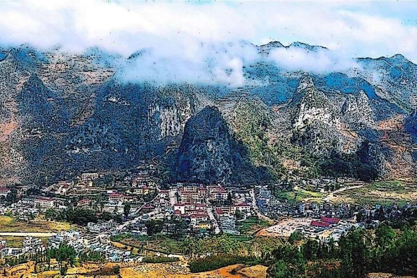
The Hoang Su Phi Rice Terraces are an extensive agricultural landscape located in the Ha Giang province of Vietnam. These terraces are carved into the hillsides of the region, primarily by ethnic minority communities.
Visual Characteristics
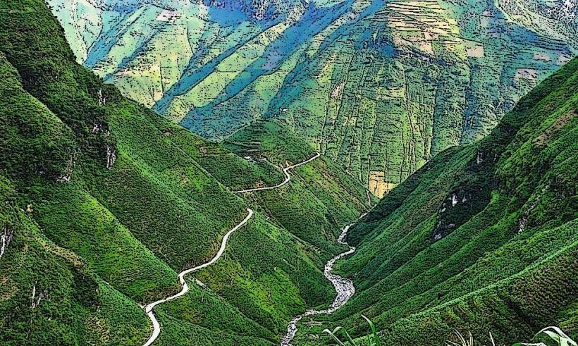
The terraces are characterized by their layered structure, following the contours of the steep slopes. During the planting season, they appear as a series of reflective pools of water. When the rice matures, the landscape transforms into a sea of green, and by harvest, it turns golden yellow. The dominant materials are earth and stone, forming the retaining walls of each level. The scale is vast, covering significant portions of the mountainous terrain.
Location & Access Logistics
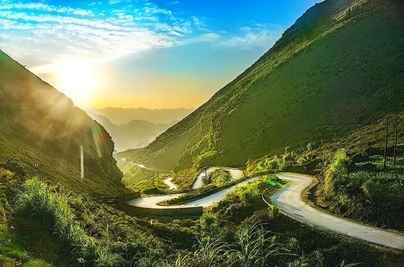
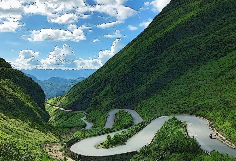
Hoang Su Phi is situated approximately 100 kilometers west of Ha Giang City. Access is primarily via National Highway 2, then turning onto Provincial Road 177. The final approach involves smaller, often unpaved, local roads. Driving from Ha Giang City typically takes 3-4 hours. Parking is generally available at designated viewpoints or in small villages, though it can be informal. Public transport options are limited; local buses run between Ha Giang City and towns within Hoang Su Phi district, but direct access to specific terrace viewpoints requires private transport or local taxis.
Historical & Ecological Origin
The rice terraces of Hoang Su Phi are a product of centuries of agricultural practice by ethnic minority groups, including the Dao and Hmong people. Their construction represents a sophisticated adaptation to the challenging mountainous topography, utilizing traditional irrigation systems to channel water from higher elevations to the fields. The ecological origin is a tropical monsoon climate with distinct wet and dry seasons, ideal for rice cultivation. The geological formation is primarily karst topography, characterized by limestone mountains.
Key Highlights & Activities
Trekking through the terraces is the primary activity. Specific trails connect various villages and viewpoints, offering different perspectives of the landscape. Photography is a significant draw, especially during sunrise and sunset. Observing local farming techniques and interacting with ethnic minority communities are also key experiences. Some areas allow for short hikes to observe the irrigation channels.
Infrastructure & Amenities
Basic amenities are available in the main towns within Hoang Su Phi district, such as guesthouses and local eateries. Restrooms are typically found at homestays or designated tourist stops. Shade is provided by the surrounding vegetation and the structure of the terraces themselves. Cell phone signal can be intermittent, particularly in more remote areas. Food vendors are more common in market towns than directly at the terrace viewpoints.
Best Time to Visit
The most visually striking periods are from May to June when the terraces are filled with water and reflect the sky, and from September to October when the rice ripens and turns golden. Midday lighting can be harsh for photography; early morning and late afternoon offer softer light. The dry season, from October to April, is generally more conducive to travel due to road conditions, though the iconic green and golden hues are absent.
Facts & Legends
A local belief suggests that the spirits of the mountains bless the land, ensuring bountiful harvests for those who respect the natural environment. A specific tip for visitors is to seek out the less accessible, higher-altitude terraces for a more expansive and less crowded view, often requiring a local guide to navigate.
Nearby Landmarks
- Dong Van Karst Plateau Geopark (Approximately 60km Northwest)
- Ma Pi Leng Pass (Approximately 70km Northwest)
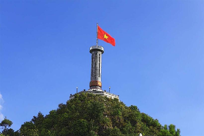
- Lung Cu Flag Tower (Approximately 85km Northwest)
- Ha Giang City Market (Approximately 100km East)