Information
Landmark: Tham Ma PassCity: Ha Giang
Country: Vietnam
Continent: Asia
Tham Ma Pass, Ha Giang, Vietnam, Asia
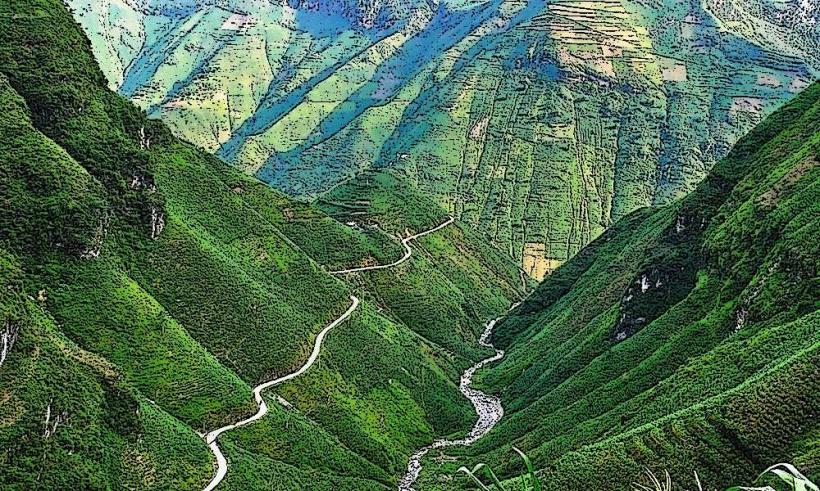
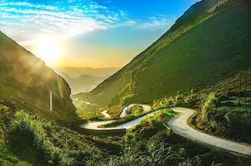
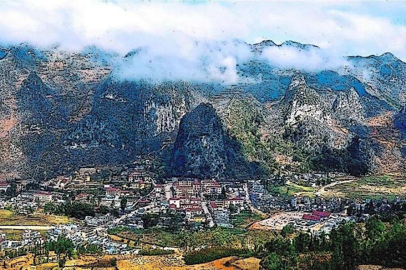
Tham Ma Pass is a mountain pass located in Ha Giang Province, Vietnam. It is a significant geographical feature on the route through the region.
Visual Characteristics
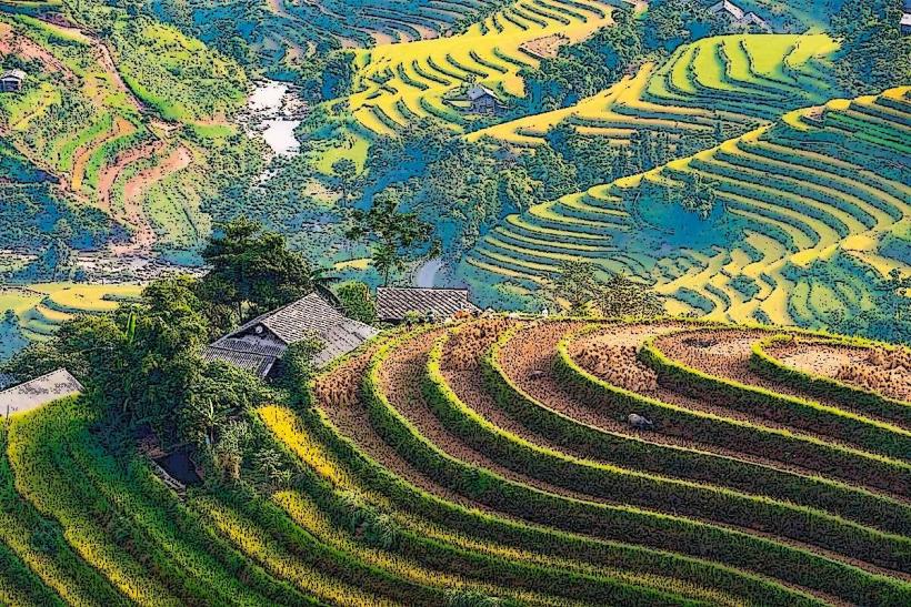
The pass is characterized by steep, winding roads carved into the mountainside. Vegetation consists of dense, tropical foliage, primarily trees and shrubs, covering the slopes. Rock formations are visible along the road cuts, revealing layered sedimentary rock. The road surface is primarily asphalt.
Location & Access Logistics
Tham Ma Pass is situated approximately 20 kilometers west of Ha Giang City. Access is via National Highway 4C. The road is suitable for motorcycles and cars. Parking is limited to small pull-offs along the roadside. No public transport directly serves the pass itself; travelers typically use private vehicles or hire local drivers.
Historical & Ecological Origin
The pass was developed as part of the road infrastructure to connect remote areas of Ha Giang Province. Its construction facilitated trade and movement for local communities. Ecologically, the area is part of the karst landscape of Northern Vietnam, characterized by limestone formations and diverse flora adapted to mountainous terrain.
Key Highlights & Activities
The primary activity is traversing the pass by vehicle to observe the landscape. Stopping at designated viewpoints allows for observation of the surrounding valleys and mountains. Photography of the road's serpentine path is a common activity.
Infrastructure & Amenities
Basic roadside pull-offs are available. There are no permanent restroom facilities or food vendors directly on the pass. Cell phone signal (4G) is intermittent and unreliable throughout the pass.
Best Time to Visit
The best time of day for photography is late afternoon, when the sun angle provides shadow contrast on the slopes. The dry season, from October to April, offers clearer road conditions and more stable weather. Avoid the rainy season (May to September) due to potential landslides and reduced visibility.
Facts & Legends
Local lore suggests that the pass was named after a specific type of wild orchid that once bloomed abundantly in the area, though these are now rare. The steep gradients and sharp turns require careful navigation, especially for inexperienced drivers.
Nearby Landmarks
- Dong Van Karst Plateau Geopark (15km Northwest)
- Ma Pi Leng Pass (35km Northwest)
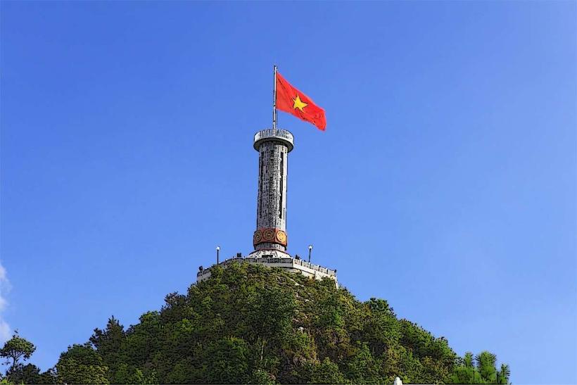
- Lung Cu Flag Tower (50km North)
- Hmong King's Palace (25km Northwest)