Information
Landmark: Ma Pi Leng PassCity: Ha Giang
Country: Vietnam
Continent: Asia
Ma Pi Leng Pass, Ha Giang, Vietnam, Asia
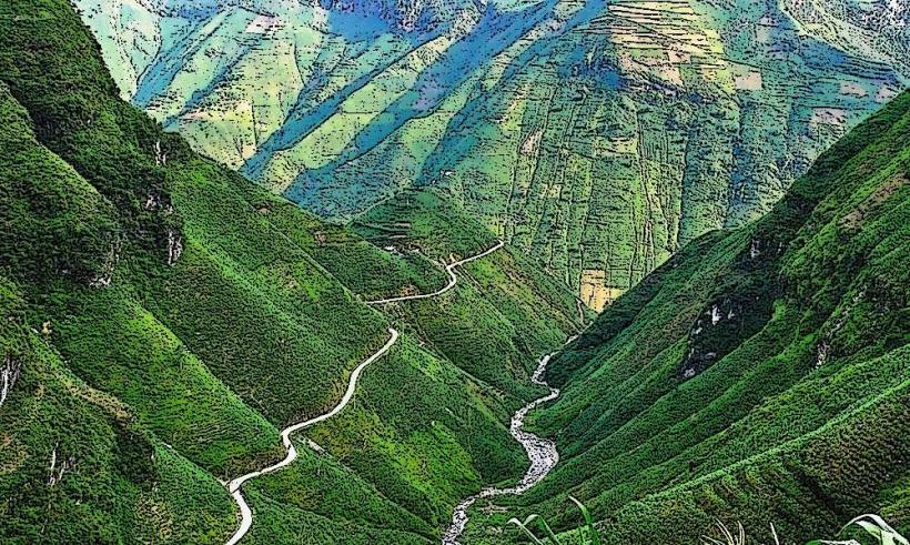
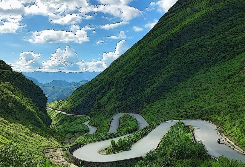
Ma Pi Leng Pass is a mountain pass located in Ha Giang Province, Vietnam, connecting the towns of Dong Van and Meo Vac.
It is recognized as one of Vietnam's four great passes.
Visual Characteristics
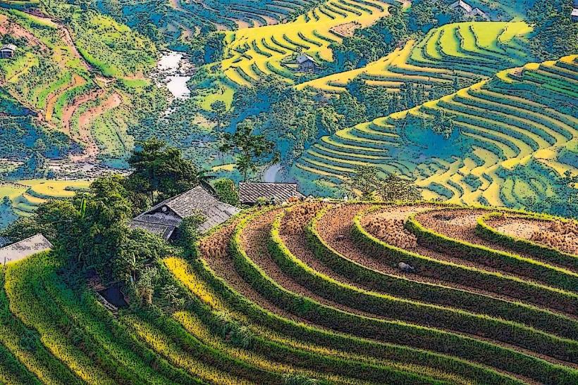
The pass features steep limestone cliffs that drop dramatically into the Nho Que River. The river below is characterized by its emerald green color. The surrounding mountains are rugged and covered in sparse vegetation, with patches of agricultural terracing visible on some slopes.
Location & Access Logistics
Ma Pi Leng Pass is situated approximately 200 kilometers north of Ha Giang City. Access is primarily via National Highway 4C, also known as the Hanh Phuc (Happiness) Road. The pass itself is a section of this highway. There is limited designated parking along the pass; vehicles typically pull over to the side of the road. Public transport options are infrequent, with local buses operating between Dong Van and Meo Vac that traverse the pass. Hiring a private car or motorbike is the most common method of access for tourists.
Historical & Ecological Origin
The Hanh Phuc Road, of which Ma Pi Leng Pass is a part, was constructed between 1959 and 1965 by over 1,000 youths from 16 ethnic groups. The construction was a significant undertaking, involving manual labor and explosives to carve the road into the mountainside. Ecologically, the area is part of the Dong Van Karst Plateau Geopark, a UNESCO Global Geopark, characterized by its unique karst topography formed by millions of years of geological processes.
Key Highlights & Activities
Observation points along the pass offer views of the Nho Que River and surrounding mountains. Hiking is possible on sections of the old path that runs parallel to the highway. Boat trips on the Nho Que River are available from the base of the pass, providing a different perspective of the cliffs. Photography is a primary activity due to the dramatic scenery.
Infrastructure & Amenities
Basic amenities are available at designated viewpoints, including small food stalls selling local snacks and drinks. Restrooms are generally rudimentary. Cell phone signal can be intermittent along the pass. Shade is limited, primarily provided by small structures at viewpoints.
Best Time to Visit
The best time of day for photography is generally in the morning or late afternoon when the light is softer and casts shadows that accentuate the topography. The dry season, from October to April, offers clearer skies and more stable weather conditions. The Nho Que River's color is most vivid during the dry season. There are no tide requirements as this is a mountain pass.
Facts & Legends
A local legend states that the pass was named after a type of horse that was used to transport goods, and the sound of their hooves echoed through the mountains. A verified historical oddity is that the road was built without the use of heavy machinery, relying on human labor and basic tools.
Nearby Landmarks
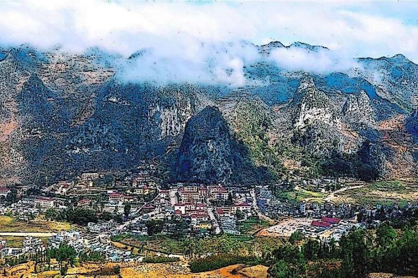
- Dong Van Old Town (10km West)
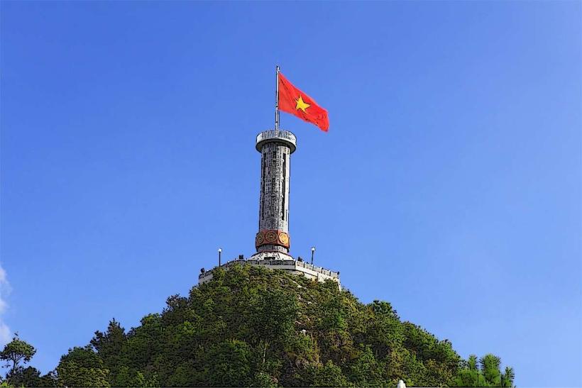
- Lung Cu Flag Tower (25km North)
- Meo Vac Market (15km East)
- H'mong King's Palace (12km West)