Information
Landmark: Lung Cu Flag TowerCity: Ha Giang
Country: Vietnam
Continent: Asia
Lung Cu Flag Tower, Ha Giang, Vietnam, Asia
The Lung Cu Flag Tower is a prominent monument located in the northernmost point of Vietnam, within Ha Giang province.
Visual Characteristics
The tower is an octagonal structure constructed from reinforced concrete and stone. It stands approximately 100 meters tall, with a base diameter of 20 meters tapering to 15 meters at the top. The exterior is primarily clad in local stone, giving it a rugged appearance. At its apex, a large Vietnamese flag is flown from a flagpole.
Location & Access Logistics
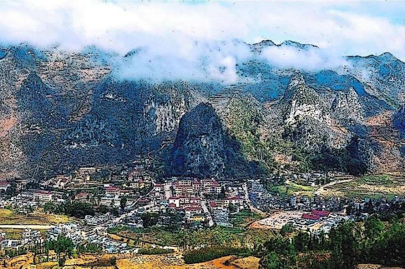
The Lung Cu Flag Tower is situated in Lung Cu commune, Dong Van district, Ha Giang province. It is approximately 160 kilometers north of Ha Giang city. Access is via National Highway 4C, which is a paved road. Parking is available at the base of the tower. Public transport to Lung Cu commune is limited; shared taxis or private car hire from Ha Giang city are the most common methods of arrival. From the parking area, a stone staircase of approximately 400 steps leads to the tower's summit.
Historical & Ecological Origin
The current iteration of the Lung Cu Flag Tower was completed in 2010, replacing an earlier structure. It was built to commemorate Vietnam's sovereignty and its northernmost territorial boundary. The site is located on Rong Troi Mountain, a geological formation characteristic of the Dong Van Karst Plateau Geopark, known for its limestone formations and sedimentary rock layers.
Key Highlights & Activities
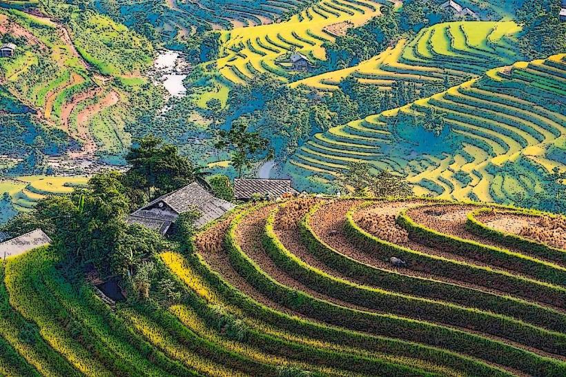
Climbing the 400 steps to the observation deck at the top of the tower provides panoramic views of the surrounding landscape. Visitors can observe the border with China and the rural areas of Ha Giang province. Photography of the tower and the landscape is a primary activity. Cultural interactions with the local ethnic minority communities, such as the Hmong, are possible in the vicinity.
Infrastructure & Amenities
Restrooms are available at the base of the tower. Limited shade is provided by the tower itself and a few small stalls selling local crafts and snacks. Cell phone signal (4G) is generally available in the area. Food vendors are present at the base, offering local specialties.
Best Time to Visit
The best time of day for photography is generally in the morning or late afternoon when the light is softer and the shadows are less harsh. The dry season, from October to April, offers the most favorable weather conditions with clear skies. The rainy season, from May to September, can bring fog and reduced visibility.
Facts & Legends
A local legend states that the dragon god of the sky descended to this location and laid eggs, from which the Vietnamese people emerged. The tower is built on a mountain considered sacred by the local ethnic groups. A unique tip for visitors is to look for the traditional Hmong houses with their distinctive architecture scattered across the valleys below.
Nearby Landmarks
- Dong Van Karst Plateau Geopark Visitor Center (15km Southwest)
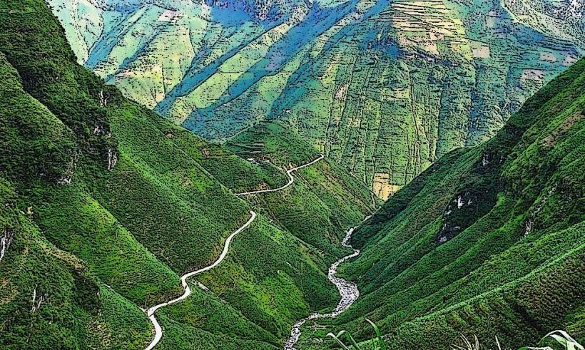
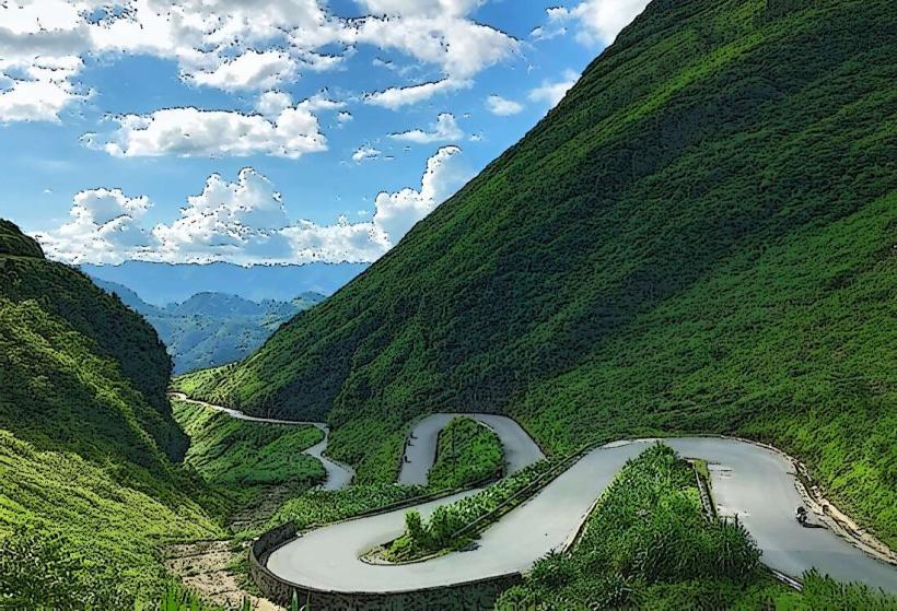
- Ma Pi Leng Pass (30km Southwest)
- Hmong King's Palace (25km Southwest)
- Lao Chai Village (40km Southwest)