Information
Landmark: Islas del RosarioCity: Cartagena
Country: Colombia
Continent: South America
Islas del Rosario, Cartagena, Colombia, South America
Islas del Rosario is an archipelago located off the coast of Cartagena, Colombia. It comprises approximately 27 islands and cays in the Caribbean Sea.
Visual Characteristics
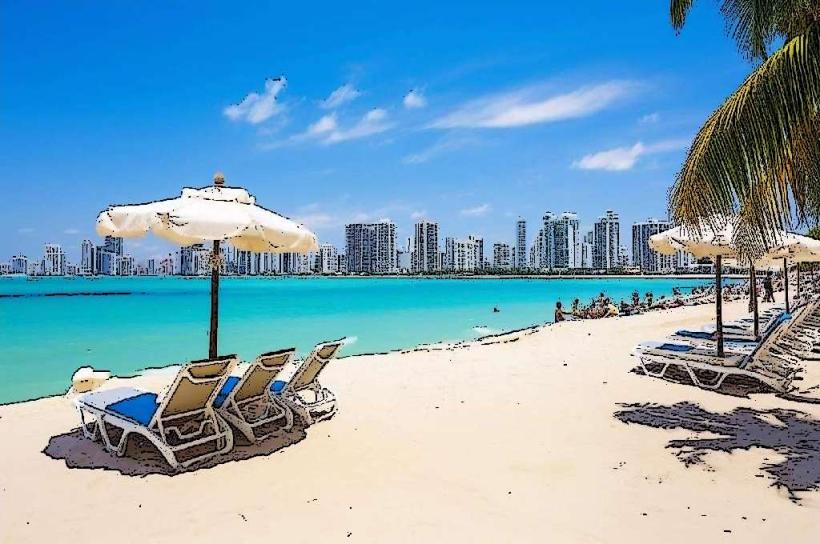
The islands are characterized by white sand beaches and clear turquoise waters. Vegetation is primarily tropical, with palm trees and dense foliage covering the landmasses. Coral reefs are a significant feature of the underwater environment.
Location & Access Logistics
Islas del Rosario is situated approximately 30 kilometers southwest of Cartagena. Access is exclusively by sea. Public boat services and private water taxis depart from the Muelle de la Bodeguita in Cartagena. Travel time ranges from 45 minutes to 1.5 hours depending on the vessel and sea conditions. There is no road access. Limited docking facilities are available on some of the larger islands.
Historical & Ecological Origin
The archipelago is a natural formation, classified as a coral reef system. The islands emerged from the accumulation of coral skeletons over geological time. The surrounding waters are part of the Corales del Rosario y San Bernardo National Natural Park, established to protect the marine ecosystem.
Key Highlights & Activities
Activities include snorkeling and scuba diving in the coral reefs. Swimming is possible in designated areas. Boat tours around the islands are available. Some islands offer facilities for day visits and overnight stays.
Infrastructure & Amenities
Amenities vary by island. Some islands have restaurants and basic restroom facilities. Cell phone signal is generally weak or unavailable on most islands. Shade is provided by natural vegetation and some man-made structures on developed islands.
Best Time to Visit
The dry season, from December to April, offers the most favorable weather conditions with lower rainfall. The best time of day for underwater visibility is typically between 10:00 AM and 2:00 PM. High tide is generally preferred for accessing shallow reef areas.
Facts & Legends
A notable historical event occurred in 1982 when a large portion of the archipelago was declared a National Natural Park to safeguard its biodiversity. Local folklore sometimes speaks of shipwrecks and buried treasure associated with the islands' history.
Nearby Landmarks
- 0.8km North: Isla Barú (mainland connection)
- 2.5km Northeast: Isla Fuerte
- 4.0km Southwest: Isla Grande
- 4.8km West: Archipiélago de San Bernardo