Information
Landmark: Murallas de CartagenaCity: Cartagena
Country: Colombia
Continent: South America
Murallas de Cartagena, Cartagena, Colombia, South America
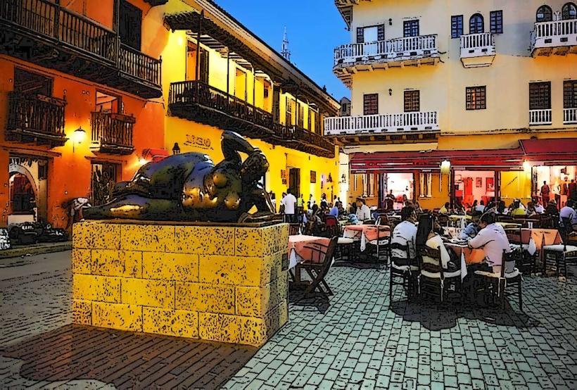
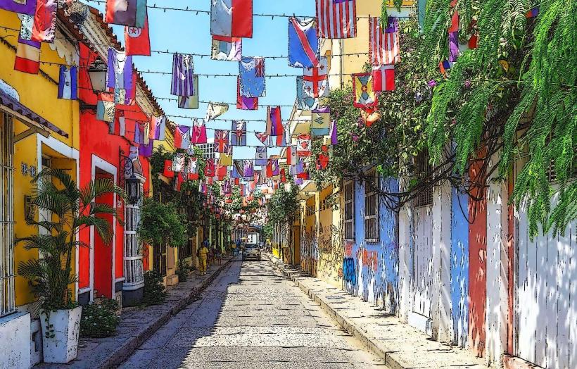
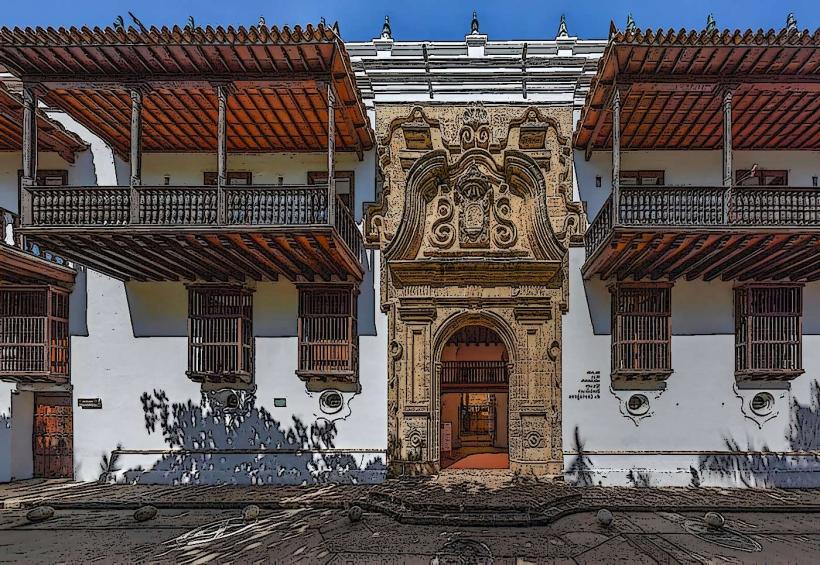
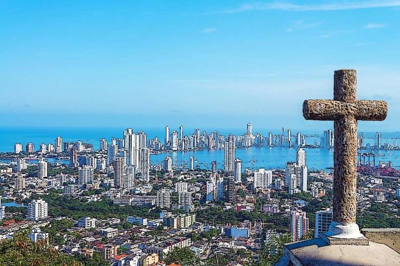
The Murallas de Cartagena are a defensive fortification system encircling the historic Walled City of Cartagena, Colombia.
These extensive stone walls were constructed over centuries to protect the port city from pirate attacks and foreign invasions.
Visual Characteristics
The fortifications consist primarily of thick, grey stone walls, some reaching heights of 10-15 meters. Sections of the wall are topped with parapets and bastions, designed for artillery placement. The stone used is predominantly coral stone and limestone. The total length of the walled circuit is approximately 11 kilometers.
Location & Access Logistics
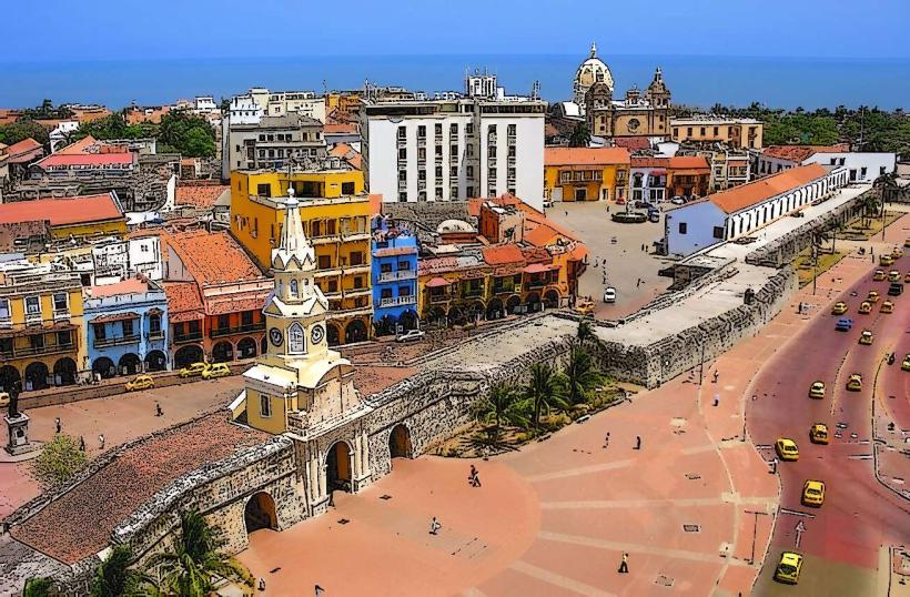
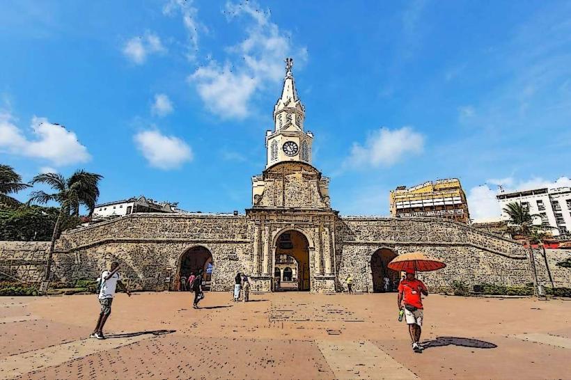
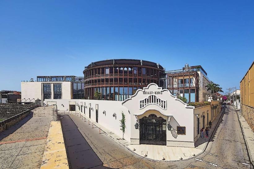
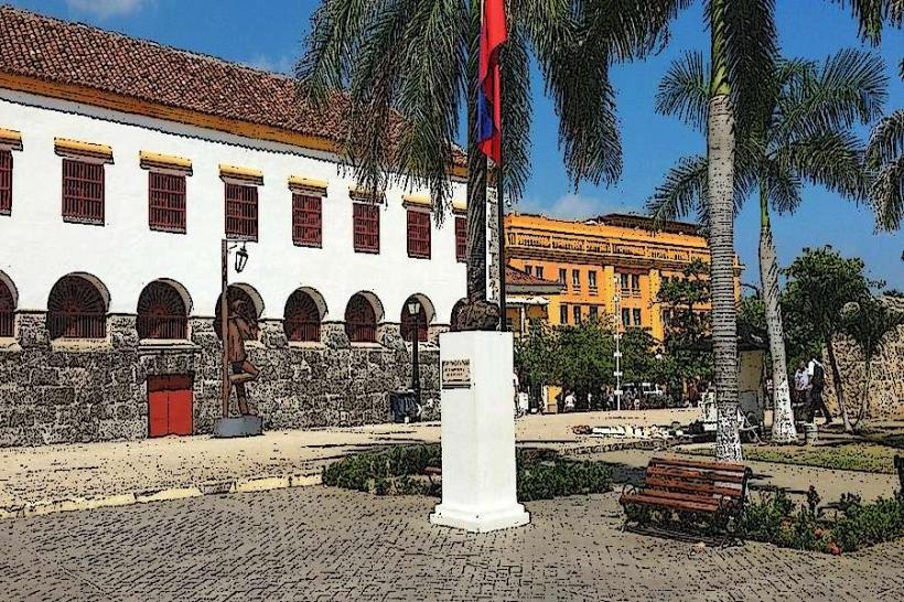
The Murallas de Cartagena are located within the historic center of Cartagena, directly bordering the Caribbean Sea. Access is free and continuous along the perimeter. The main entry points into the walled city are through several gates, including the Puerta del Reloj (Clock Tower Gate) and the Puerta de San Lucas. Parking is limited and expensive within the walled city; it is advisable to use designated parking garages outside the historic center or arrive via taxi or ride-sharing services. Public bus routes do not directly serve the interior of the walled city, but many routes terminate near its perimeter.
Historical & Ecological Origin
Construction of the Murallas began in the early 16th century, with significant expansions and reinforcements occurring throughout the 17th and 18th centuries. The primary architect was military engineer Battista Antonelli, though many engineers contributed over time. The original purpose was to defend Cartagena, a crucial Spanish colonial port, from naval assaults. The materials are sourced from local quarries and the surrounding coastal environment.
Key Highlights & Activities
Walking along the top of the walls offers views of the city and the sea. Specific sections, such as the Baluarte de Santo Domingo and the Baluarte de San Felipe de Barajas, are notable. Visitors can observe the architectural details of the bastions and ramparts. Photography is permitted.
Infrastructure & Amenities
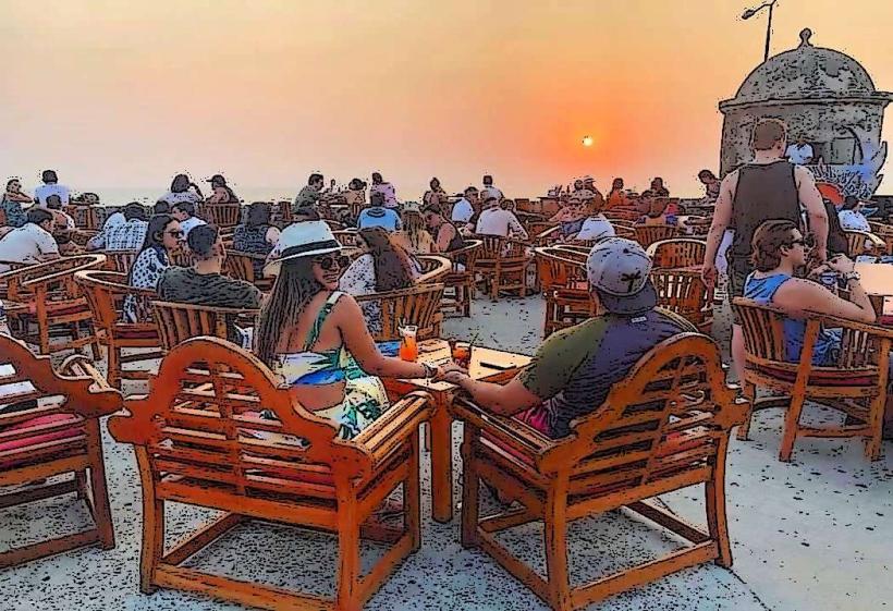
Restrooms are available in establishments adjacent to the walls or within the walled city. Shade is limited on the wall tops, with some benches provided. Cell phone signal (4G/5G) is generally strong throughout the area. Food and beverage vendors are abundant within the walled city, immediately accessible from the wall perimeter.
Best Time to Visit
The best time of day for photography is early morning (7:00 AM - 9:00 AM) or late afternoon (4:00 PM - 6:00 PM) to avoid harsh midday sun and capture softer light. The best months for weather are typically December through April, which are part of the dry season. High tide or low tide does not affect access to the walls.
Facts & Legends
A unique historical detail is that the walls were designed to withstand cannon fire, with their thickness and angled bastions intended to deflect projectiles. A local legend suggests that during particularly fierce sieges, the stones of the wall would "sweat" with the fear of the defenders.
Nearby Landmarks
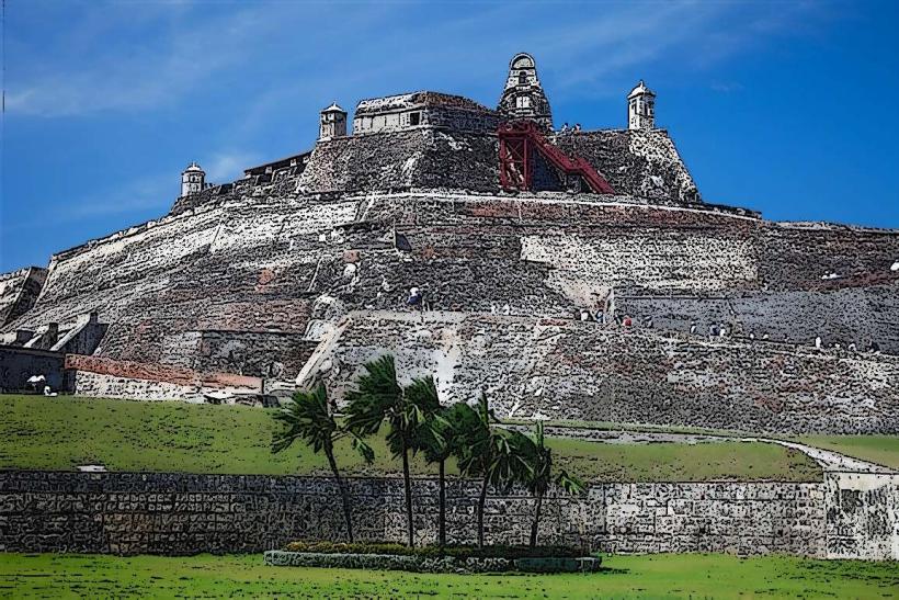
- Castillo de San Felipe de Barajas (0.8km Southeast)
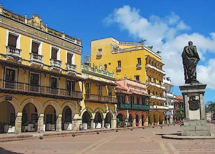
- Plaza de Bolívar (0.3km West)
- Convento de San Pedro Claver (0.4km West)
- Torre del Reloj (0.1km West)
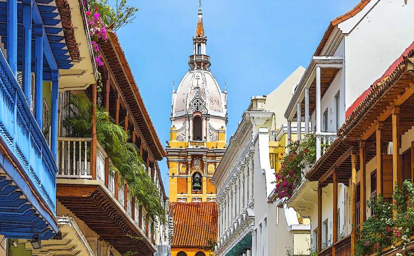
- Catedral de Santa Catalina de Alejandría (0.2km West)