Information
Landmark: Khotokha ValleyCity: Wangdue Phodrang
Country: Bhutan
Continent: Asia
Khotokha Valley, Wangdue Phodrang, Bhutan, Asia
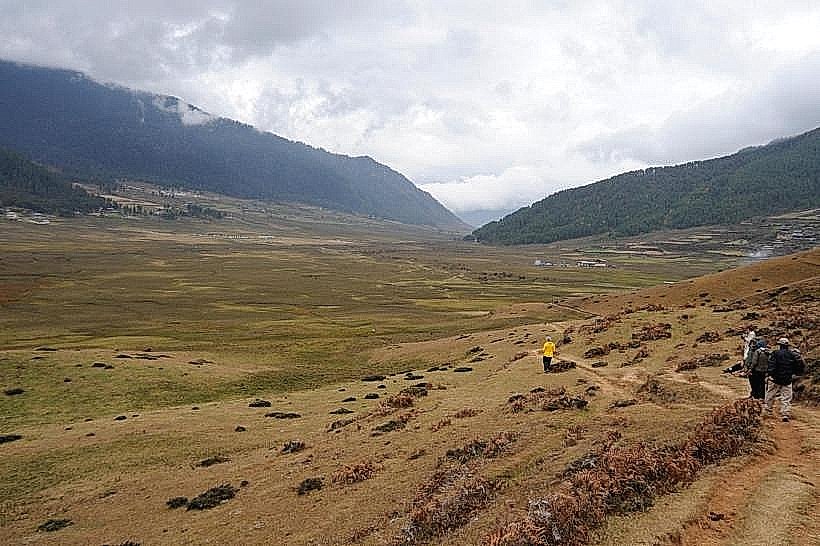
Khotokha Valley is a broad, flat valley situated in the Wangdue Phodrang District of Bhutan. It is characterized by its agricultural fields and the presence of the Khotokha River.
Visual Characteristics
The valley floor is predominantly flat, covered with rice paddies and other agricultural crops. The Khotokha River, a tributary of the Punakha River, flows through the valley, its width varying seasonally. Surrounding the valley are forested hills, with deciduous trees dominating the lower slopes and coniferous species at higher elevations. The valley floor exhibits a mosaic of green and brown hues depending on the agricultural cycle.
Location & Access Logistics
Khotokha Valley is located approximately 30 kilometers south of Wangdue Phodrang town. Access is via the national highway, specifically the road leading towards the Pele La Pass. The turn-off for the valley is clearly marked. The valley floor is accessible by vehicle via a local road that branches off the main highway. Parking is available along the roadside in designated areas near villages or agricultural access points. There are no direct public transport services to the valley floor; visitors typically arrange private transport from Wangdue Phodrang.
Historical & Ecological Origin
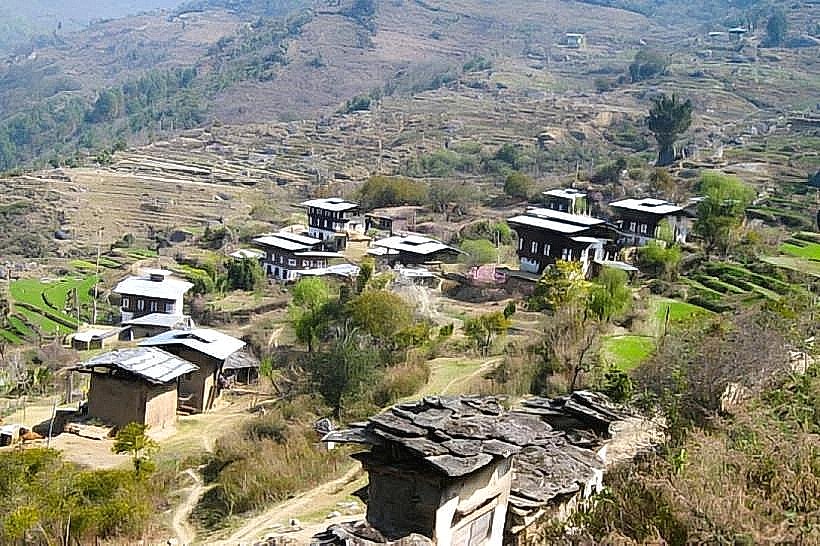
The valley's formation is a result of fluvial erosion and deposition over geological time, creating a wide alluvial plain. Ecologically, it is a temperate valley ecosystem supporting agriculture and a range of flora and fauna typical of the mid-altitude regions of Bhutan. Historically, the valley has been utilized for agriculture for centuries, supporting local communities.
Key Highlights & Activities
Walking through the agricultural fields provides an opportunity to observe local farming practices. Birdwatching is possible, with species common to Bhutanese valleys present. The Khotokha River offers opportunities for observing riverine ecosystems. Photography of the valley landscape and rural life is a primary activity.
Infrastructure & Amenities
Basic amenities are limited within the valley itself. Small local shops may be present in the villages, offering snacks and water. Restrooms are generally not available in public areas; visitors should plan accordingly. Cell phone signal (4G/5G) can be intermittent within the valley, with better reception closer to villages or on higher ground. Shade is available from trees and farm structures.
Best Time to Visit
The best time for visiting Khotokha Valley is during the spring (March to May) and autumn (September to November) months. During these periods, the weather is generally mild, and the agricultural fields are at their most visually appealing. The morning and late afternoon offer the best natural light for photography, with softer shadows.
Facts & Legends
A local belief states that the valley is protected by a benevolent spirit, and agricultural success is attributed to its favor. It is customary for visitors to show respect for the land and its inhabitants.
Nearby Landmarks
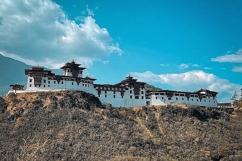
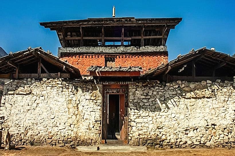
- Wangdue Phodrang Dzong (15km Northwest)
- Pele La Pass (10km North)
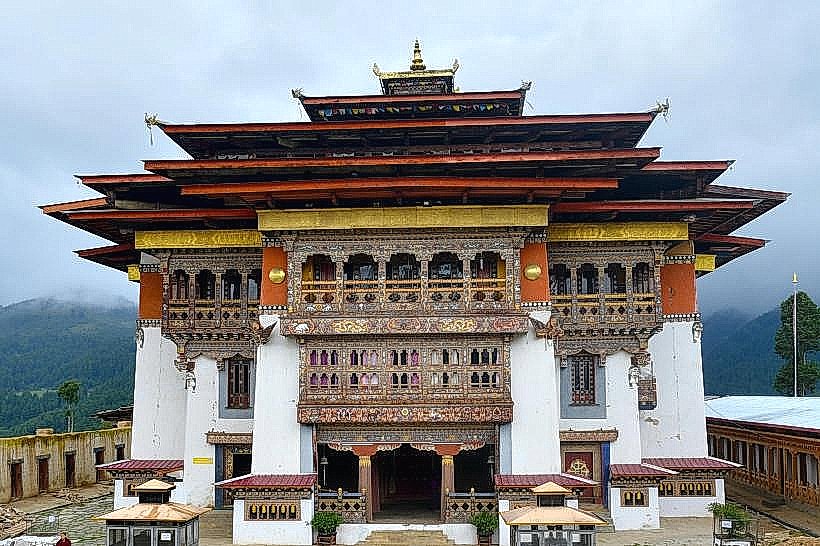
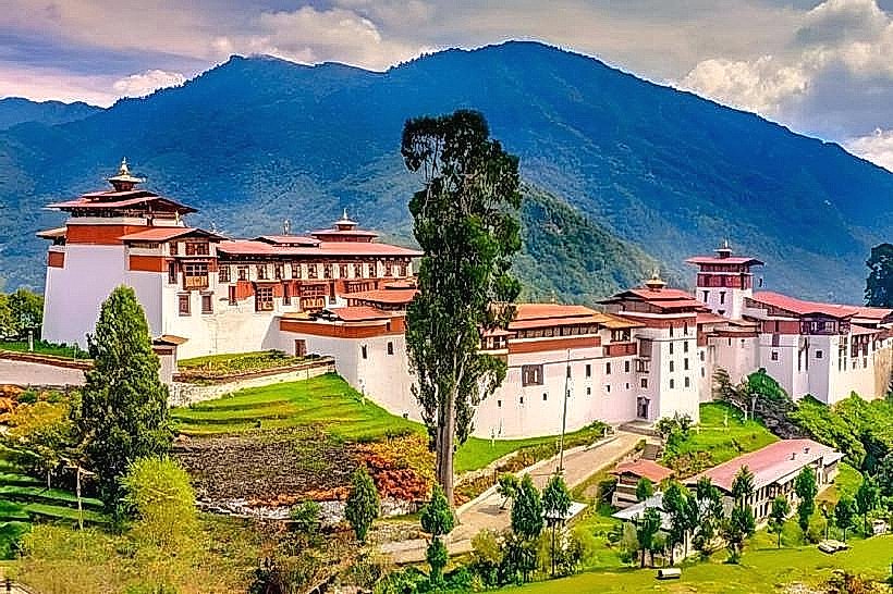
- Gangtey Monastery (25km Northeast)
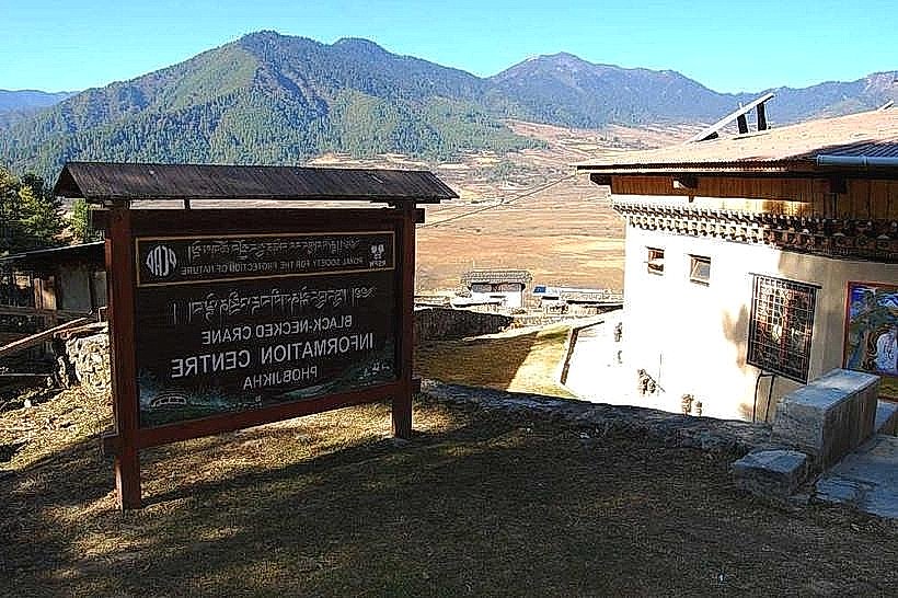
- Phobjikha Valley (30km Northeast)