Information
Landmark: Pele La PassCity: Wangdue Phodrang
Country: Bhutan
Continent: Asia
Pele La Pass, Wangdue Phodrang, Bhutan, Asia
Pele La Pass is a mountain pass situated in the Wangdue Phodrang District of Bhutan. It serves as a significant geographical divide within the region.
Visual Characteristics
The pass is characterized by its elevation, reaching approximately 3,300 meters (10,827 feet) above sea level. The surrounding landscape consists of steep, forested slopes with dense vegetation, primarily pine and rhododendron species. The road surface is paved asphalt. During winter months, frost and occasional snow can be present on the road and surrounding areas.
Location & Access Logistics
Pele La Pass is located on the East-West Highway (National Highway 2) connecting Wangdue Phodrang town to Trongsa. It is approximately 50 kilometers west of Trongsa town and 30 kilometers east of Wangdue Phodrang town. The drive from Wangdue Phodrang town takes approximately 45 minutes to 1 hour, depending on road conditions. There is a small parking area at the summit for vehicles. Public transport options are limited to shared taxis or buses operating on the East-West Highway.
Historical & Ecological Origin
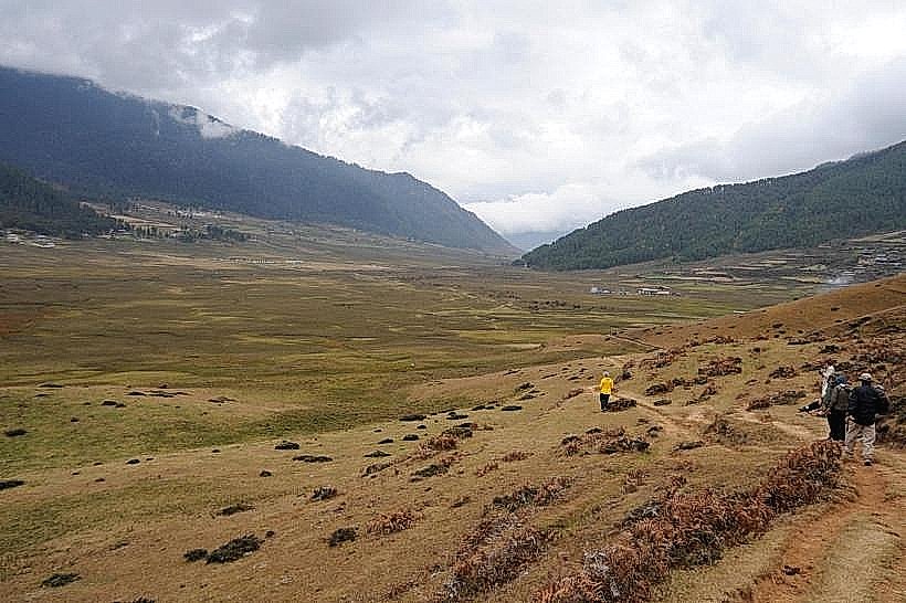
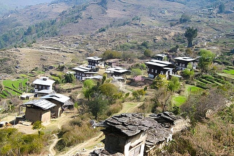
Pele La Pass is a natural geological formation, a high point on the ridge separating the Phobjikha Valley from the western valleys of Bhutan. Ecologically, it represents a transition zone between different vegetation types found at lower and higher altitudes in the Himalayas.
Key Highlights & Activities
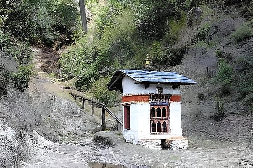
Visitors typically stop at the pass to observe the panoramic views of the surrounding valleys and mountain ranges. A small chorten (stupa) is located at the summit. Photography is a primary activity. There are no specific marked trails for hiking directly at the pass itself, but the surrounding areas offer opportunities for exploration for experienced hikers.
Infrastructure & Amenities
Basic amenities at the pass include a small parking area. There are no permanent restroom facilities or food vendors directly at the summit. Cell phone signal (4G) is generally available but can be intermittent due to the elevation and terrain.
Best Time to Visit
The best time of day for photography is generally mid-morning or late afternoon when the sunlight provides optimal illumination of the landscape. The best months for clear weather and accessible road conditions are from March to May and September to November. During winter (December to February), the pass can experience snow, potentially causing temporary road closures.
Facts & Legends
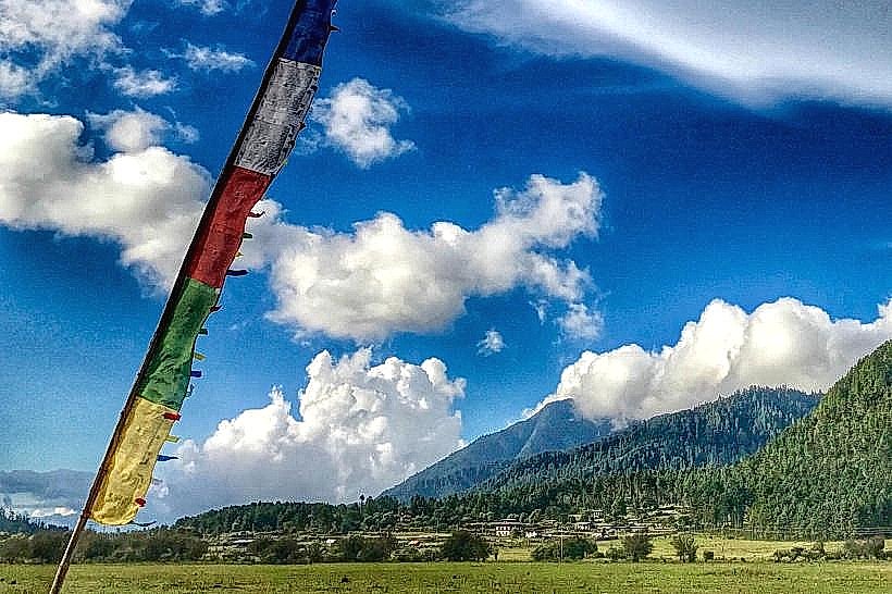
Local folklore associates Pele La Pass with protective deities. It is believed that the chorten at the summit was erected to ward off evil spirits and ensure safe passage for travelers. The pass is also known for its prayer flags, which are frequently replaced by locals.
Nearby Landmarks
- Chimi Lhakhang (Temple of Fertility): 15km Southwest
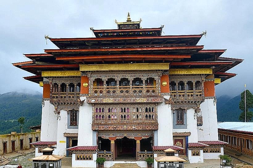
- Gangtey Monastery: 20km Southeast
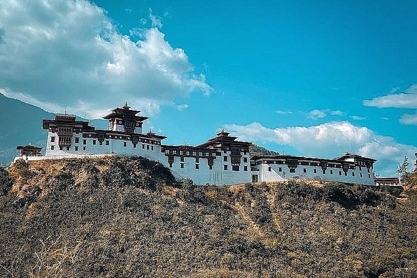
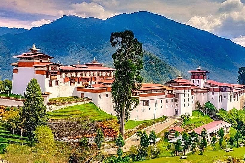
- Wangdue Phodrang Dzong (Ruins): 30km West
- Trongsa Dzong: 50km East