Information
Landmark: Monasavu DamCity: Viti Levu
Country: Fiji
Continent: Australia
Monasavu Dam, Viti Levu, Fiji, Australia
Monasavu Dam is a hydroelectric facility located in the central highlands of Viti Levu, Fiji. It creates the largest man-made lake in the country, situated at an elevation of approximately 700 meters above sea level.
Visual Characteristics
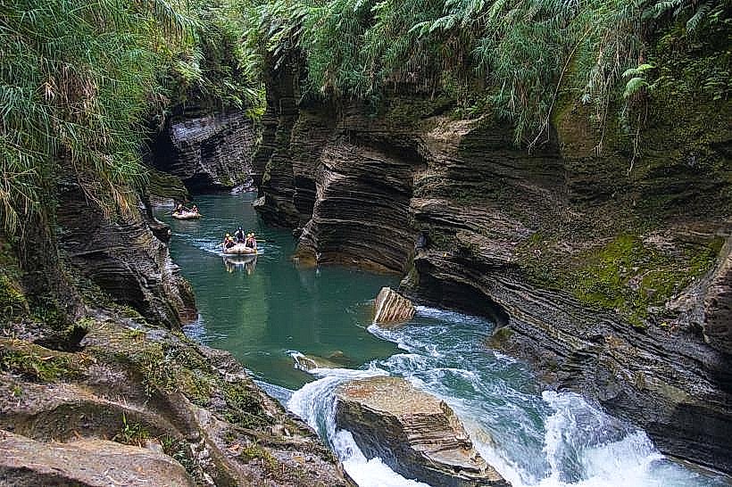
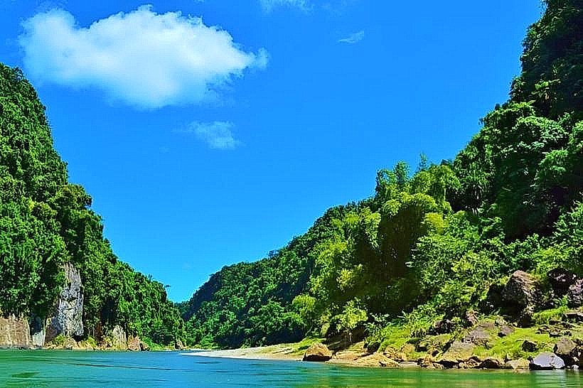
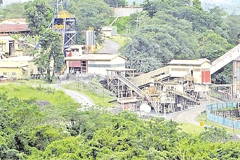
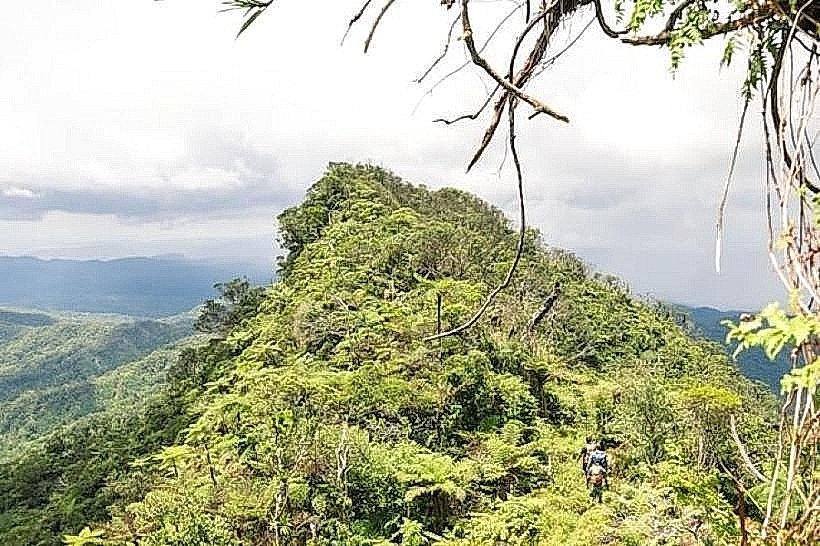
The landmark features a rock-fill embankment structure that impounds the Monasavu Reservoir, which is characterized by deep, dark waters and a jagged shoreline. The surrounding terrain consists of high-altitude montane rainforest and cloud forest, often shrouded in mist. The infrastructure includes a concrete spillway, intake towers, and heavy industrial machinery, contrasted against the dense green canopy and grey volcanic rock faces of the interior mountains.
Location & Access Logistics
The dam is located in the province of Naitasiri, roughly 60 kilometers south of Tavua and 80 kilometers north of Suva. Access is via the Monasavu Road, a steep and winding route that transitions from paved to gravel surfaces. Due to the rugged terrain and high elevation, a four-wheel-drive vehicle is required for safe transit. Public transport is non-existent to the site; visitors must utilize private vehicles or organized industrial transfers.
Historical & Ecological Origin
Construction of the dam began in 1978 and was completed in 1983 as part of Fiji's primary initiative to reduce dependence on imported fossil fuels. It was engineered to utilize the high rainfall of the central plateau, which averages over 5,000mm annually. Geologically, the reservoir sits atop a volcanic plateau composed of Pliocene basaltic and andesitic flows.
Key Highlights & Activities
Logistical observation of the dam's engineering and the expansive reservoir view is the primary activity. The surrounding area is a critical site for birdwatching, as the high-altitude forests host endemic species such as the Fiji bush warbler and the masked shining parrot. Road-based photography of the reservoir against the backdrop of Mount Tomanivi is common.
Infrastructure & Amenities
Infrastructure is limited to operational buildings for the Fiji Electricity Authority (FEA). There are no public restrooms, visitor centers, or food vendors at the dam site. Cell phone signal (4G) is extremely weak or non-existent due to the remote location and deep valley topography. Visitors must be self-sufficient, carrying all necessary water, food, and fuel.
Best Time to Visit
The dry season from June to September is the most reliable time for access, as the mountain roads can become impassable during heavy rains. For photography, the early morning provides the clearest views before the afternoon cloud cover descends on the plateau. High-visibility conditions are rare during the wet season (November–April).
Facts & Legends
The Monasavu Hydro Scheme provides approximately 50% of the total electricity for the entire island of Viti Levu. Local indigenous groups maintain traditional land rights over the flooded valley, and the project's history includes complex negotiations regarding the displacement of original mountain settlements and the protection of ancestral burial sites now beneath the water.
Nearby Landmarks
Mount Tomanivi - 4.8km West
Navai Village - 4.2km Northwest
Nanuku Creek - 1.5km South
Wailoa Power Station - 5.0km Southeast
Nadarivatu Plateau - 4.9km Northwest