Information
Landmark: Nananu-i-Ra IslandCity: Viti Levu
Country: Fiji
Continent: Australia
Nananu-i-Ra Island, Viti Levu, Fiji, Australia
Nananu-i-Ra is a 3.5-square-kilometer island situated 3 kilometers off the north coast of Viti Levu, Fiji. It is positioned near the town of Rakiraki in the Ra Province and is separated from the mainland by the Ellington Passage.
Visual Characteristics
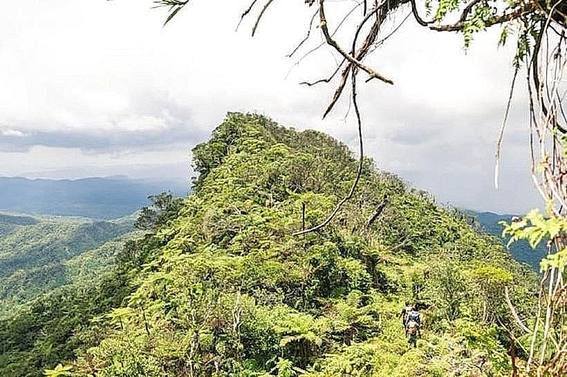
The island features a rugged coastline with white sand beaches, primarily on the western and southern sides, and mangrove-lined bays to the east. The interior consists of grassy hills and ridges reaching an elevation of approximately 180 meters, with vegetation composed of dry-zone grasses, coconut palms, and scattered pine trees. Fringing coral reefs surround the island, creating shallow turquoise lagoons that transition into deep blue water beyond the reef edge.
Location & Access Logistics
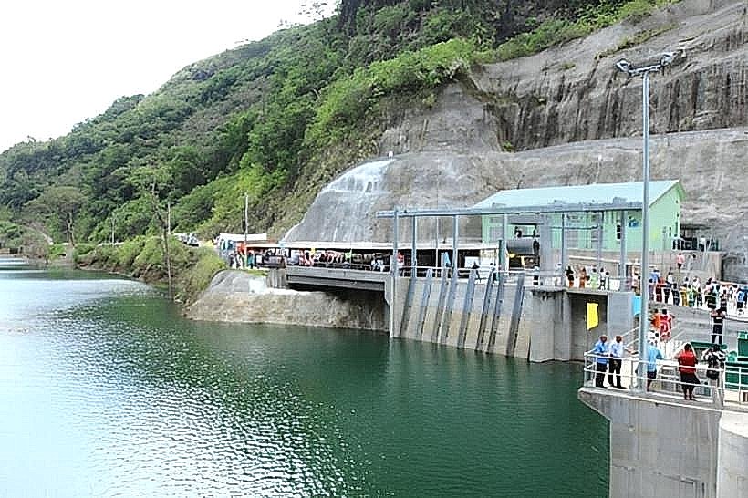
Access is via a 15-to-20-minute boat transfer from Ellington Wharf or Volivoli Point, located roughly 5 kilometers north of Rakiraki Town. Ellington Wharf is reached via the Kings Road; private vehicles can be parked at the wharf for a daily fee. Public transport involves taking a bus to Rakiraki followed by a taxi to the wharf, where local boat operators provide scheduled or chartered crossings to the island's various landing points.
Historical & Ecological Origin
The island is composed of uplifted volcanic and sedimentary rock, part of the broader geological formation of northern Viti Levu. Its name translates to "Daydream of the West" in the local dialect. Historically, the island was used for grazing and coconut plantations before the establishment of small-scale eco-resorts and private holiday homes. Ecologically, it serves as a habitat for various migratory seabirds and is a significant site for the protected Viti Levu dry forest ecosystem.
Key Highlights & Activities
Kiteboarding and windsurfing are the primary activities on the island's windward side, particularly during the trade wind season. Snorkeling and scuba diving take place at sites like "The Maze" and "Breathtaker Reef" (technical name) located within the nearby Vatu-i-Ra Seascape. Hiking trails follow the ridgelines, providing 360-degree views of the Bligh Water and the Nakauvadra Mountains on the mainland.
Infrastructure & Amenities
Infrastructure is localized to small resorts and private residences; there is no centralized town or public utility grid. Electricity is provided by individual solar arrays and diesel generators. There are no public restrooms, ATMs, or supermarkets on the island; visitors must bring all specialty supplies and cash from Rakiraki. 4G cellular signal is generally strong on the western ridges but can be obstructed in the eastern bays.
Best Time to Visit
The optimal period for visitation is from May to October, coinciding with the southeast trade winds ("Sua") which provide ideal conditions for water sports and lower humidity. For underwater visibility, the months of September and October are best. During the cyclone season (November to April), boat transfers may be suspended due to high sea states in the Ellington Passage.
Facts & Legends
According to local oral tradition, Nananu-i-Ra is the place where the spirits of the deceased would stop to "daydream" or look back at the mainland one last time before departing toward the sunset. The island sits on the edge of the Bligh Water, named after Captain William Bligh, who sailed through this passage in a small open boat following the mutiny on the Bounty in 1789.
Nearby Landmarks
Volivoli Point - 3.2km South
Ellington Wharf - 3.8km South
Nananu-i-Cake Island - 1.1km East
Vatu-i-Ra Channel - 4.5km North
Rakiraki Town - 8.5km Southwest