Information
Landmark: Mount Tomanivi (Mount Victoria)City: Viti Levu
Country: Fiji
Continent: Australia
Mount Tomanivi (Mount Victoria), Viti Levu, Fiji, Australia
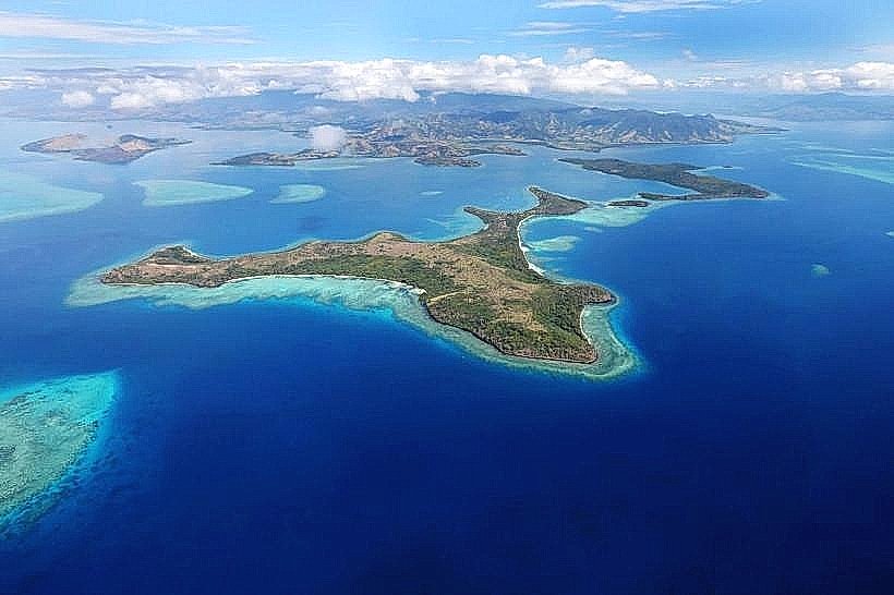
Mount Tomanivi, formerly known as Mount Victoria, is the highest peak in Fiji, reaching an elevation of 1,324 meters. It is situated in the northern highlands of Viti Levu within the Namosi-Ra provincial border.
Visual Characteristics
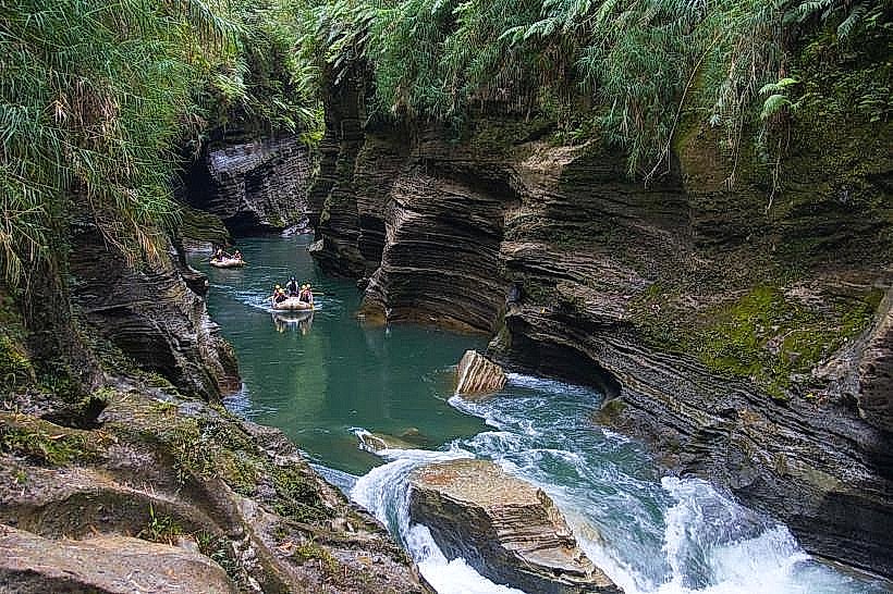
The mountain is a dormant volcano featuring a rugged, cloud-shrouded summit and steep slopes covered in primary montane rainforest. The upper elevations are characterized by stunted mossy forests, high-altitude ferns, and endemic orchids. The rock composition is primarily volcanic basalt and andesite, often obscured by dense canopy and thick undergrowth.
Location & Access Logistics
The peak is located approximately 70 kilometers southeast of Lautoka and 50 kilometers north of Navua. Primary access is through Navai Village, which sits at the base of the mountain. Reaching Navai requires a four-wheel-drive vehicle via the inland roads from Tavua or the Monasavu Dam road. Public transport is limited to irregular rural carrier trucks from Tavua Town; most visitors utilize private transfers.
Historical & Ecological Origin
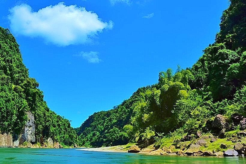
Mount Tomanivi is part of a Pliocene volcanic range that forms the backbone of Viti Levu. It serves as the primary catchment area for Fiji's largest river systems, including the Rewa, Sigatoka, and Navua rivers. The area is classified as an Important Bird Area (IBA) and a Key Biodiversity Area, harboring nearly all of Fiji’s highland bird species, including the rare pink-billed parrotfinch.
Key Highlights & Activities
The primary activity is a strenuous high-altitude trek to the summit, which typically takes 4 to 6 hours for a round trip. The trail is often muddy and steep, requiring physical exertion and local guides from Navai Village. Birdwatching is a significant draw due to the presence of endemic species found only in this specific altitudinal range.
Infrastructure & Amenities
Infrastructure is nonexistent on the mountain itself. There are no restrooms, shelters, or potable water sources along the trail. All hikers must register and pay a small fee at the Navai Village community center, which provides the only basic amenities in the vicinity. Cell phone signal (4G) is intermittent and generally disappears as one ascends the northern face.
Best Time to Visit
The dry season from June to September offers the most stable conditions for climbing, with the lowest probability of rainfall and trail washouts. Photography is best achieved at dawn from the summit before the daily cloud cover develops, typically by 10:00. During the wet season, the peak is frequently inaccessible due to heavy fog and dangerously slippery terrain.
Facts & Legends
Local indigenous belief considers the mountain a sacred site, often associated with the origin of the island's river systems. In colonial history, the peak was renamed Mount Victoria in honor of the British monarch, but its original name, Tomanivi, was officially restored after Fiji gained independence to reflect its indigenous heritage.
Nearby Landmarks
Navai Village - 2.1km North
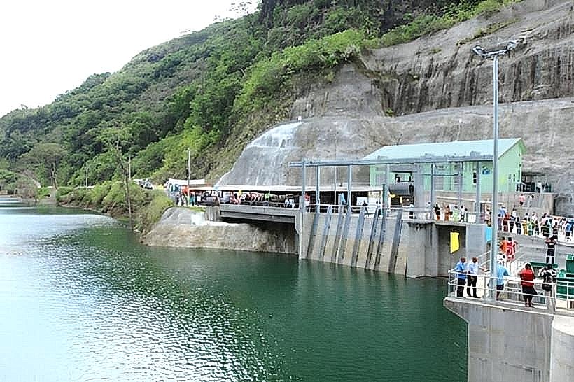
Monasavu Dam - 4.8km East
Nadarivatu Plateau - 4.5km Northwest
Mount Lomalagi - 3.9km West
Sigatoka River Headwaters - 1.2km South