Information
Landmark: Vatukoula Gold MineCity: Viti Levu
Country: Fiji
Continent: Australia
Vatukoula Gold Mine, Viti Levu, Fiji, Australia
The Vatukoula Gold Mine is an industrial site located in the Tavua Basin on the northern coast of Viti Levu, Fiji. It is the country's oldest and largest gold-producing operation, situated approximately 10 kilometers inland from the town of Tavua.
Visual Characteristics
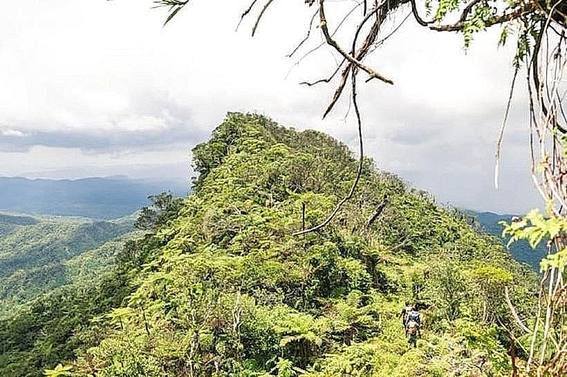
The mine site is characterized by massive industrial infrastructure, including the Smith and Philip vertical shafts and the Emperor Decline entry portal. Surface features include a large-scale processing plant with rotating ball mills, thickeners, and a tall smelter stack, alongside open-pit excavations that reveal reddish-brown volcanic soil and basaltic rock layers. The surrounding landscape is a topographical basin shaped by an extinct volcanic crater, featuring rugged green hills that contrast with the grey-toned workshops and steel frames of the mine's headworks.
Location & Access Logistics
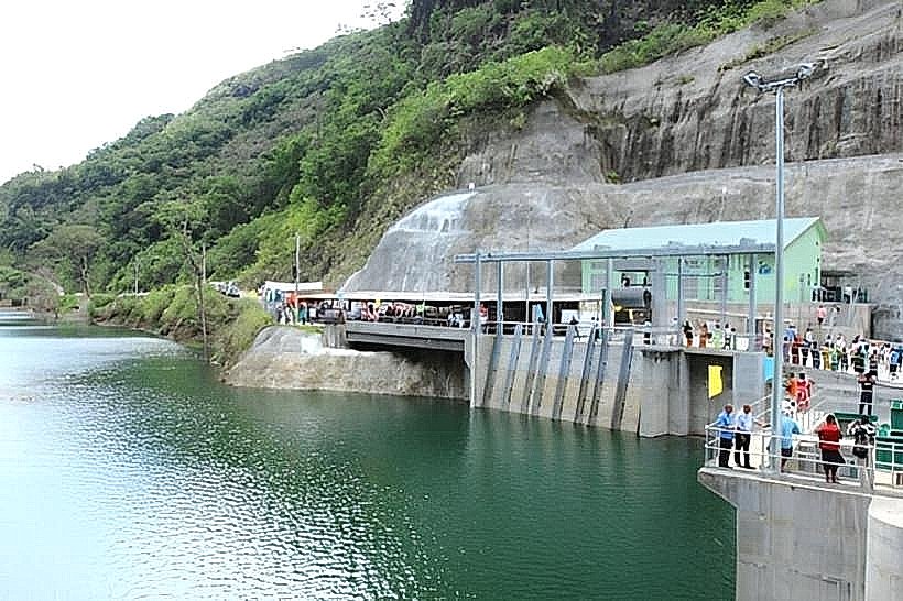
The facility is located approximately 6 to 9 kilometers south of Tavua Town along the Vatukoula Road. Access is via the King’s Highway followed by a turnoff onto the inland industrial corridor. Sunbeam Transport FJ operates a daily bus service from Tavua Town to Vatukoula, a journey of approximately 20 minutes; taxis are available for a faster 10-minute transit. While the town of Vatukoula is accessible, entry to the specialized mining leases and the underground works is strictly restricted to authorized personnel.
Historical & Ecological Origin
Gold was first discovered in the Nasivi River in the late 19th century, with the primary Emperor deposit identified in 1933 by prospector Bill Borthwick. The mine sits within a collapsed 23-square-kilometer caldera of the extinct Tavua Volcano, an epithermal gold system formed during the Pliocene epoch between 4.5 and 5.2 million years ago. Historically, the site operated under the Emperor Gold Mining Company for over 75 years before being acquired by Vatukoula Gold Mines PLC in 2008.
Key Highlights & Activities
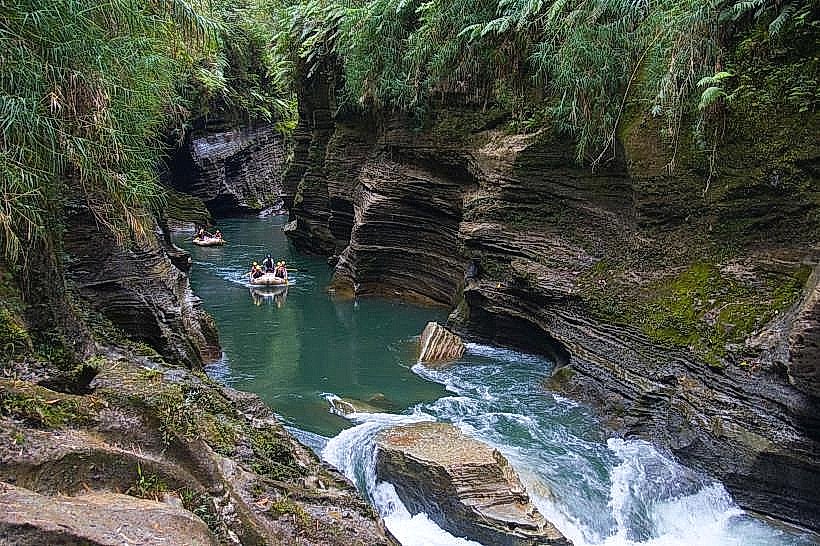
Public activity is focused on the surrounding colonial-style mining town rather than the active extraction zones. Visitors can view the historic headframes and industrial silhouettes from public roadways or play at the Vatukoula Bowling Club and golf course, which were originally established for expatriate mine staff. In nearby areas, trekking along the Nasivi River allows for the observation of the geological basin that initially led to the gold discovery.
Infrastructure & Amenities
The settlement of Vatukoula includes basic urban infrastructure such as a local police post, a medical clinic, and small village canteens. Cellular coverage is generally stable with 4G/5G signal present throughout the Tavua Basin. There are no public restrooms or shade structures within the industrial perimeter; visitors must rely on the amenities located in the residential sectors or return to Tavua Town.
Best Time to Visit
The dry season from May to October is the most suitable time for transit, as heavy rainfall during the wet season (November to April) can cause road washouts and operational delays. For photography, the early morning hours provide the best lighting for capturing the industrial headframes against the backdrop of the Nakauvadra Mountains.
Facts & Legends
The mine features one of the 10 largest low-sulphidation epithermal gold systems ever discovered. A long-standing local legend suggests that one of the mine's tunnels extends several kilometers beneath the seafloor of Tavua Bay. The site also contains a "magic square" stone carving in the administrative area, a local historical oddity tied to the region's indigenous cultural boundaries.
Nearby Landmarks
Nasivi River - 1.2km North
Tavua Town Market - 8.5km North
Nadarivatu Plateau - 4.8km South
Mt. Kasi Exploration Site - 3.5km East
Vatukoula Golf Course - 0.6km West