Information
Landmark: Navua DeltaCity: Viti Levu
Country: Fiji
Continent: Australia
Navua Delta, Viti Levu, Fiji, Australia
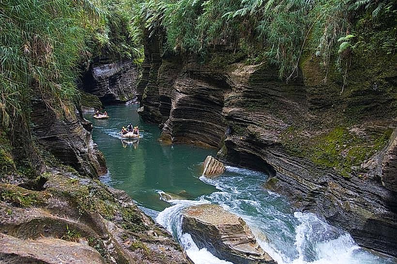
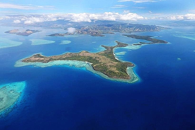
The Navua Delta is a low-lying alluvial plain located on the southern coast of Viti Levu, Fiji, formed by the deposition of sediment at the mouth of the Navua River. It covers approximately 50 square kilometers of fertile land extending into the Beqa Channel.
Visual Characteristics
The landscape is predominantly flat, consisting of a complex network of distributary channels, tidal creeks, and mangrove swamps. The soil is composed of fine dark silt and clay, supporting intensive agriculture and dense stands of Rhizophora mangroves along the water's edge. The coastline features grey sand beaches and mudflats that are exposed during low tide, while the interior of the delta is partitioned into rectangular plots of rice and ginger fields.
Location & Access Logistics
The delta is situated approximately 45 kilometers west of Suva and is bisected by the Queens Road. Navua Town serves as the primary entry point, located on the eastern bank of the main river branch. Access to the outer delta reaches requires small motorized punts or flat-bottomed boats departing from the Navua Bridge. Public bus services (Pacific Transport and Sunbeam) run hourly between Suva and Nadi, stopping at the Navua Town center.
Historical & Ecological Origin
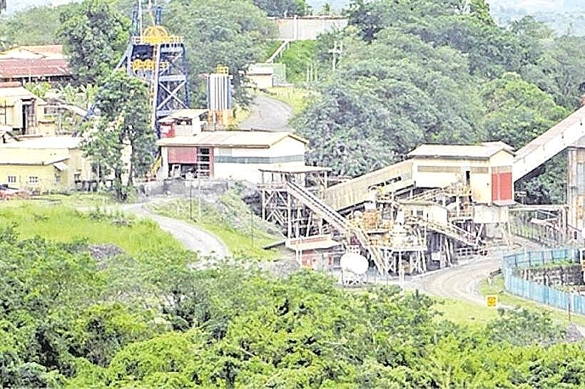
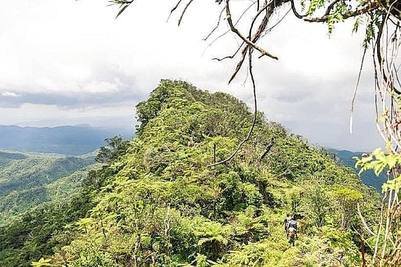
The delta formed through the Holocene accumulation of volcanic sediment transported from the Namosi Highlands. In the late 19th century, the area was heavily modified for the sugar industry with the establishment of the Vancouver Fiji Sugar Company in 1906. Following the closure of the sugar mill in 1923, the land was repurposed for rice cultivation and dairy farming. The delta remains an essential estuarine ecosystem for the breeding of hammerhead sharks and various trevally species.
Key Highlights & Activities
Small-vessel navigation through the mangrove channels allows for birdwatching, specifically for endemic honeyeaters and kingfishers. The delta is a primary site for artisanal fishing, with locals using hand-cast nets in the brackish shallows. Agricultural tours of the inland rice paddies and tropical fruit farms provide insight into the region's primary economic output.
Infrastructure & Amenities
Navua Town, located within the delta, provides full infrastructure including a hospital, supermarkets, banks, and a police station. Public restrooms are available at the municipal market and commercial fuel stations. While 4G and 5G cellular signals are strong across the mainland delta, connectivity drops significantly once moving into the outer mangrove forests. There is no public shade in the agricultural fields, though the town center offers sheltered walkways.
Best Time to Visit
The dry season between May and October provides the most reliable access to the delta’s unpaved farm roads. Early morning (06:00–08:00) is the optimal time for observing wildlife in the mangrove sections and for photography, as the lack of elevation creates long shadows across the flat terrain. High tide is required for boat navigation into the smaller distributary channels to avoid grounding on mudbanks.
Facts & Legends
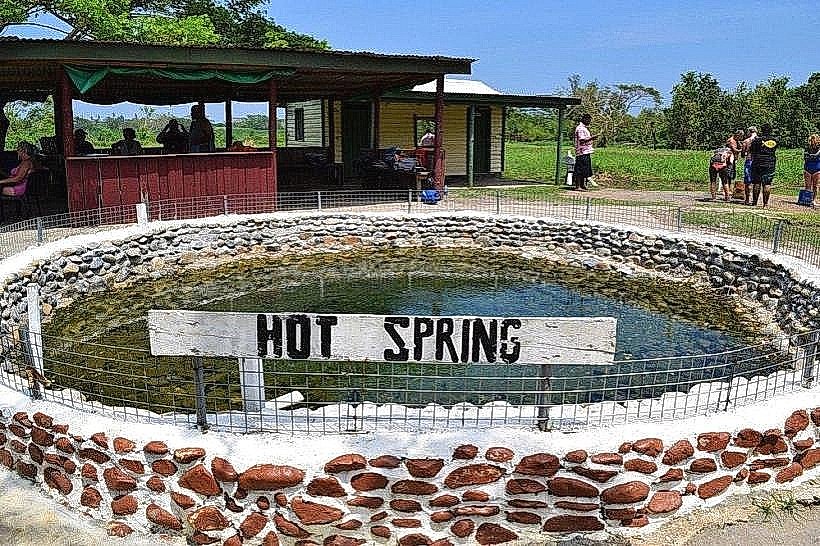
The Navua Delta was once the site of a narrow-gauge railway system used to transport sugarcane to the local mill; remnants of the iron bridge pylons are still visible in the river today. Local residents frequently report sightings of "degei" or spirit-serpents in the darker reaches of the mangrove swamps, which are traditionally avoided by fishermen after sunset.
Nearby Landmarks
Navua Town Market - 0.2km North
Pacific Harbour - 4.5km West
Rovadrau Bay - 3.8km West
Naitonitoni Beach - 2.5km South