Information
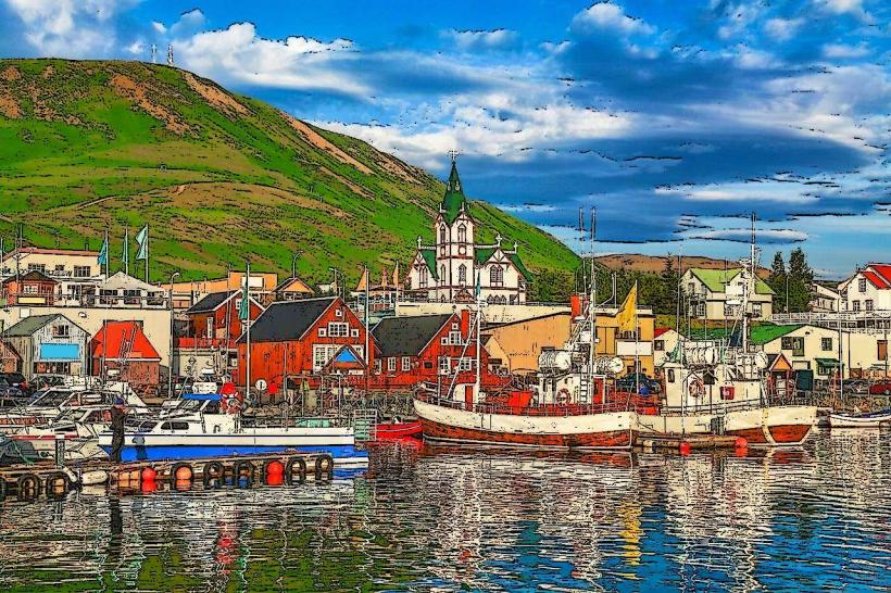
Landmark: Námaskarð Geothermal AreaCity: Akureyri
Country: Iceland
Continent: Europe
Námaskarð Geothermal Area, Akureyri, Iceland, Europe
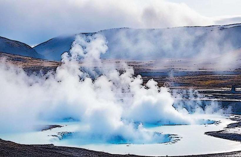
Námaskarð is a high-temperature geothermal field characterized by solfataras and mud pots. It is located in northern Iceland, east of Lake Mývatn, approximately 90 kilometers east of Akureyri.
Visual Characteristics
Námaskarð presents a barren, treeless landscape dominated by geothermal activity. The ground exhibits various shades of yellow, red, brown, and grey due to mineral deposits, primarily sulfur. Numerous boiling mud pots and steaming fumaroles release gases, creating a distinct visual and olfactory environment.
Location & Access Logistics
Námaskarð is situated directly off Route 1 (Ring Road) in northern Iceland, approximately 90 kilometers east of Akureyri. From Akureyri, follow Route 1 east for about 1 hour and 15 minutes. A designated parking area is available directly adjacent to the site, accessible via a short turn-off from Route 1. Public transport options are limited; a rental car is the primary method of access.
Historical & Ecological Origin
Námaskarð is part of the Krafla volcanic system, a central volcano and fissure swarm. Its geothermal activity is a result of the area's location on the Mid-Atlantic Ridge, where tectonic plates diverge. The site is characterized by high-temperature geothermal features, including solfataras and mud pots, formed by groundwater heated by magma chambers below.
Key Highlights & Activities
Visitors can walk on marked trails to observe boiling mud pots and steaming fumaroles up close. The area offers opportunities for geological observation and photography of the unique geothermal landscape. There are no guided tours specific to Námaskarð itself, but the site is often included in broader Mývatn area tours.
Infrastructure & Amenities
Basic restroom facilities are available at the main parking area. The site offers no natural shade due to its barren landscape. Cell phone signal (4G/5G) is generally available. There are no food vendors directly at Námaskarð, but a restaurant and gas station are located a few kilometers west at Reykjahlíð near Lake Mývatn.
Best Time to Visit
The best time to visit Námaskarð is during the summer months, from June to August, when weather conditions are milder and daylight hours are extended. Early morning or late afternoon provides softer light for photography, enhancing the colors of the mineral deposits and steam. The site is accessible year-round, but winter visits may involve snow and ice, requiring caution. Tidal conditions are irrelevant for this inland geothermal area.
Facts & Legends
Historically, sulfur was mined at Námaskarð from the 17th century until the early 20th century, primarily for gunpowder production. A practical tip for visitors is to wear old clothes and shoes, as the sulfurous mud can stain and the strong smell may linger.
Nearby Landmarks
- Lake Mývatn: 5km West
- Grjótagjá Cave: 7km West
- Hverfjall Crater: 6km West
- Dimmuborgir Lava Field: 10km Southwest
- Krafla Power Station: 2km North