Information
Landmark: Niagara Gorge TrailCity: Buffalo
Country: USA New York
Continent: North America
Niagara Gorge Trail, Buffalo, USA New York, North America
The Niagara Gorge Trail is a network of hiking paths situated within the Niagara Gorge, extending from the city of Niagara Falls, New York, towards Buffalo.
Visual Characteristics
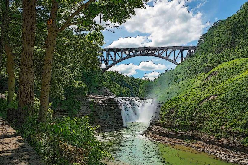
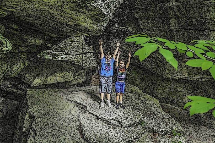
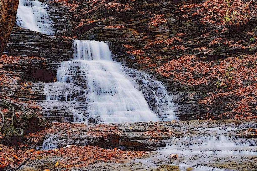
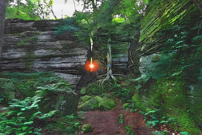
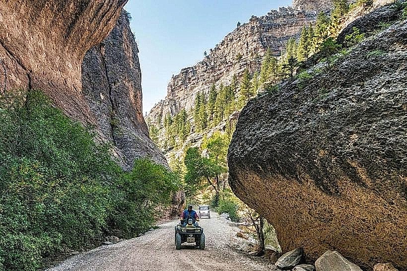
The trail traverses a deep gorge carved by the Niagara River. Rock walls composed of Lockport dolomite and Clinton shale are visible, with vertical striations indicating geological layers. Vegetation is dense in sections, featuring deciduous trees such as maple, oak, and beech, with undergrowth of ferns and mosses. The river itself is a turbulent, brown-tinted flow, particularly near rapids and waterfalls.
Location & Access Logistics
Access points are numerous. The main trailhead is located at Prospect Point Park in Niagara Falls, NY, approximately 25 km north of Buffalo. Parking is available at designated lots within Niagara Falls State Park, with fees applicable. Public transport options include NFTA Metro Bus routes 50 and 55, which stop near the park entrances. Further access points exist along the Niagara River Recreation Trail, accessible via local roads like Whirlpool Street and River Road.
Historical & Ecological Origin
The gorge was primarily formed by the erosive power of the Niagara River over thousands of years, a process accelerated by glacial meltwater. The trail system was developed in stages, with initial paths established in the late 19th and early 20th centuries to allow access to the river's edge. The rock formations date back to the Silurian period.
Key Highlights & Activities
Hiking is the primary activity. Specific trails include the Great Gorge Scenic Trail, which follows the river's edge, and the Niagara Gorge Rim Trail, offering elevated views. Observation points such as Terrapin Point and Prospect Point provide direct views of the Horseshoe Falls and American Falls. The Maid of the Mist boat tour departs from the base of Prospect Point, offering close proximity to the falls.
Infrastructure & Amenities
Restrooms are available at major access points like Prospect Point and Whirlpool State Park. Shade is provided by the tree canopy along most of the trail. Cell phone signal (4G/5G) is generally available, though it may be intermittent in deeper sections of the gorge. Food vendors and restaurants are concentrated in Niagara Falls State Park and the surrounding city.
Best Time to Visit
For photography, early morning (7-9 AM) and late afternoon (4-6 PM) offer favorable lighting conditions, minimizing harsh shadows. The best months for hiking are May through October, with moderate temperatures. Spring (April-May) can see higher river flow due to snowmelt. Winter visits are possible but require caution due to ice and snow on trails.
Facts & Legends
A notable historical oddity is the "Maid of the Mist" boat tour, which has been operating since 1846, making it one of the oldest tourist attractions in North America. A specific tip for visitors is to check the Niagara Parks Commission website for any trail closures due to weather or maintenance, as sections can be inaccessible.
Nearby Landmarks
- Niagara Falls State Park (0.1km North)
- Old Fort Niagara (15km North)
- Buffalo and Erie County Naval & Military Park (35km South)
- Canalside Buffalo (36km South)
- Theodore Roosevelt Inaugural National Historic Site (37km South)