Information
Landmark: RimrocksCity: Billings
Country: USA Montana
Continent: North America
Rimrocks, Billings, USA Montana, North America
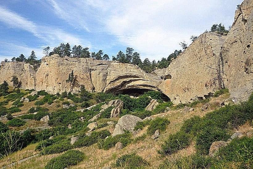
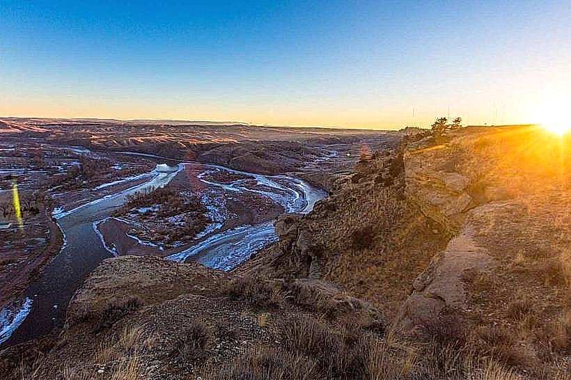
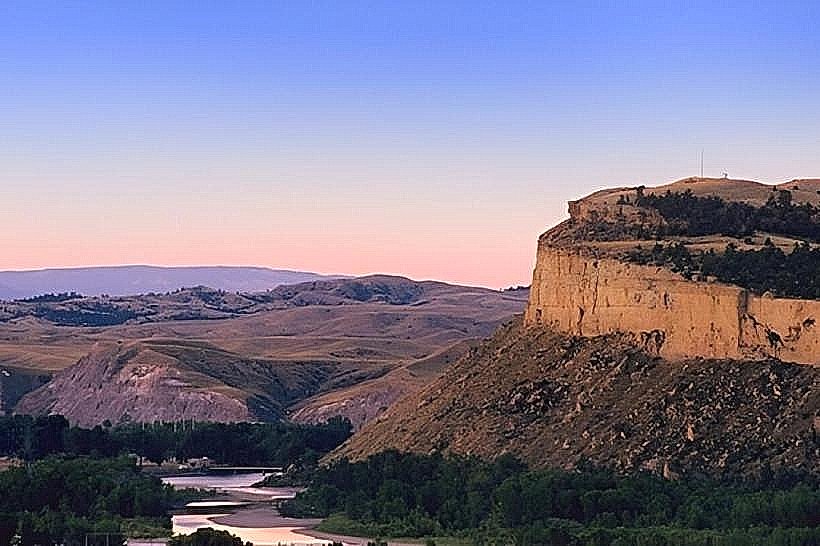
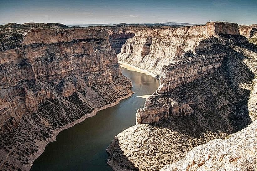
The Rimrocks are a series of sandstone bluffs located on the northern edge of Billings, Montana. These geological formations are composed of sedimentary rock layers dating back to the Late Cretaceous period.
Visual Characteristics
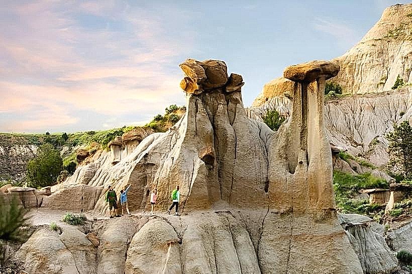
The Rimrocks consist of exposed sandstone, shale, and conglomerate layers. Colors range from light tan and buff to reddish-brown, depending on mineral content and oxidation. The formations exhibit distinct horizontal bedding planes and vertical erosion patterns, creating cliffs, benches, and hoodoos. Vegetation is sparse, primarily consisting of drought-resistant grasses, sagebrush, and scattered ponderosa pines.
Location & Access Logistics
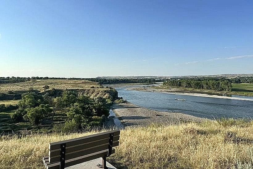
The Rimrocks are situated directly north of downtown Billings. Access is primarily via Rimrock Road, which runs along the base of the bluffs, and various unpaved trails originating from residential areas and designated parking lots. The main access point is the Rimrock Drive overlook, approximately 5km north of the city center. Parking is available at designated pull-offs and trailheads. Public transport does not directly serve the Rimrocks; access requires private vehicle or taxi.
Historical & Ecological Origin
The Rimrocks are sedimentary deposits formed from ancient marine and river environments. Over millions of years, uplift and erosion by wind and water have sculpted the current formations. These bluffs represent a significant paleontological site, with fossilized plant and animal remains discovered within the rock layers. Indigenous peoples utilized the area for shelter and resources for millennia.
Key Highlights & Activities
Hiking is permitted on designated trails, such as the Rimrock Trail System, which offers varying difficulty levels. Rock climbing and bouldering are possible on specific formations, requiring appropriate safety equipment and knowledge. Photography is a common activity, particularly at sunrise and sunset for lighting conditions. Birdwatching is also possible, with raptors frequently observed soaring above the bluffs.
Infrastructure & Amenities
Limited infrastructure exists. Designated overlooks may have basic signage. Restrooms are not consistently available at all access points. Shade is minimal, provided only by scattered trees. Cell phone signal (4G/5G) is generally available in most areas, though it can be intermittent on trails. No food vendors are present directly at the Rimrocks; amenities are located in nearby residential areas or downtown Billings.
Best Time to Visit
The best time for photography is during the golden hours of sunrise and sunset. For hiking and outdoor activities, spring (April-May) and fall (September-October) offer moderate temperatures. Summer (June-August) can be very hot, with daytime temperatures exceeding 30°C (86°F). Winter visits are possible but subject to snow and ice, making trails hazardous.
Facts & Legends
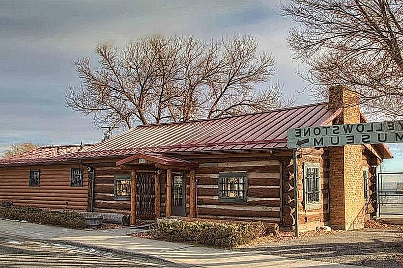
The Rimrocks are known locally as the "Castle Cliffs" due to their castellated appearance. A specific geological feature, the "Pictograph Cave," located within the Rimrocks, contains ancient Native American rock art dating back thousands of years, offering insights into early human presence in the region.
Nearby Landmarks
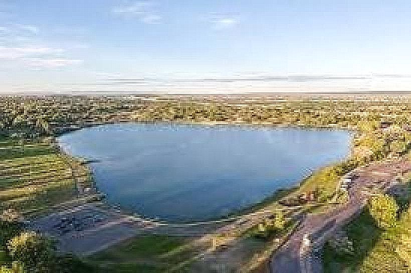
- Pictograph Cave State Park (0.8km Southwest)
- ZooMontana (3.5km Southeast)
- Pompeys Pillar National Monument (15km East)
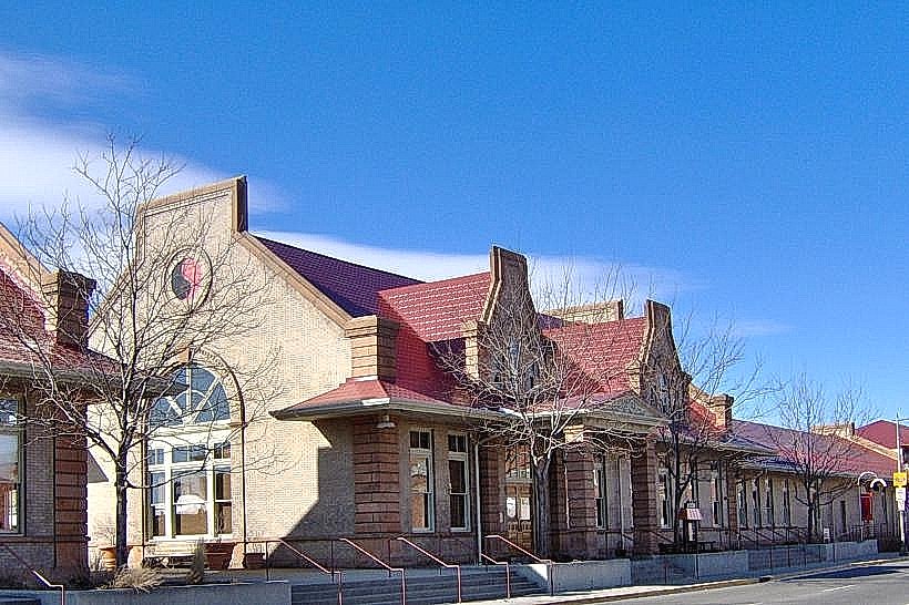
- Yellowstone Art Museum (5km South)
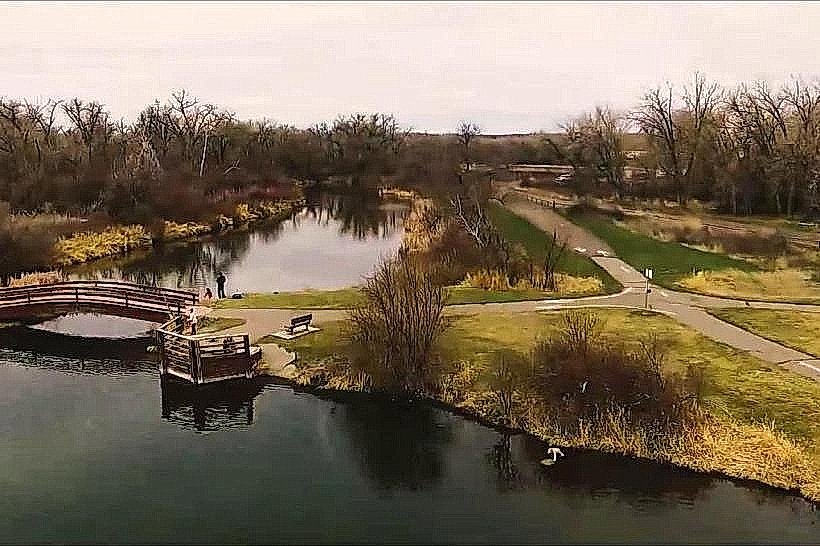
- Swords Rimrock Park (0.2km West)