Information
Landmark: Studor HillCity: Bohinj
Country: Slovenia
Continent: Europe
Studor Hill, Bohinj, Slovenia, Europe
Studor Hill is a prominent limestone peak rising above the village of Studor in the Bohinj Valley, Slovenia. It is positioned as a geological barrier between the lower Bohinj valley and the higher Voje valley, within the Triglav National Park.
Visual Characteristics
The hill is characterized by a sheer, vertical southern rock face and a densely forested northern slope. The summit stands at an elevation of 1,002 meters, featuring a mix of karst limestone pavement and alpine grasses. From the valley floor, the hill presents a symmetrical, trapezoidal silhouette that dominates the skyline above the traditional hayracks of the village below.
Location & Access Logistics
The site is located directly north of the village of Studor, approximately 3km from Ribčev Laz. Access to the summit is via a marked hiking trail starting from the center of Studor village or from the nearby village of Stara Fužina. Public buses stop at the "Studor" station, and limited parking is available at the village entrance or the larger lots in Stara Fužina (1km West).
Historical & Ecological Origin
Studor Hill is a limestone formation shaped by glacial activity during the last ice age, which carved the surrounding Bohinj basin. Historically, the base of the hill has been a site of traditional alpine agriculture for centuries, evidenced by the preserved double hayracks (toplarji) that are unique to this specific climatic zone.
Key Highlights & Activities
Hiking is the primary activity, with the ascent taking approximately 45 to 60 minutes. The summit serves as a launch point for paragliders, who utilize the thermal currents generated by the southern rock face. Photography of the Bohinj valley and Lake Bohinj from the summit's southern viewpoint is a common objective for visitors.
Infrastructure & Amenities
The hill is a natural site with no infrastructure at the summit. Restrooms, food vendors, and shops are located in the villages of Studor and Stara Fužina at the base. Cell phone signal (4G/5G) is generally strong at the summit due to the unobstructed line of sight to valley transmitters. The hiking trail is largely shaded by beech forest until reaching the crest.
Best Time to Visit
Late afternoon is the optimal time for photography, as the sun illuminates the southern face of the hill and provides clear views of Lake Bohinj to the southwest. Late spring and autumn offer the most stable weather conditions for hiking and paragliding. Winter ascents require appropriate footwear due to potential ice on the shaded northern paths.
Facts & Legends
Local lore suggests that Studor Hill was created by a giant who dropped a large rock while walking through the valley. A verified geographical tip: the hill acts as a rain shield for the village of Studor, often causing localized weather patterns where the village remains dry while it rains on the neighboring lake.
Nearby Landmarks
Mrcina Ranch: 0.3km South
Oplen House Museum: 0.4km South
Mostnica Gorge: 1.5km Northwest
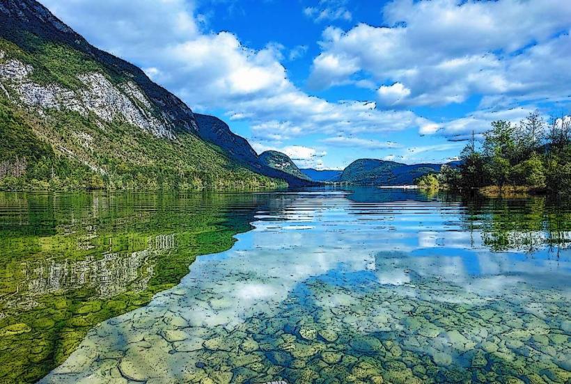
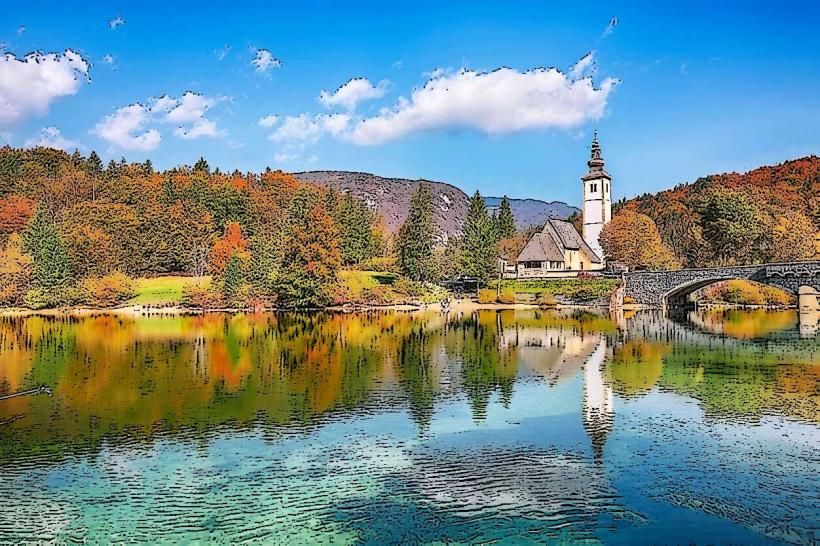
Lake Bohinj: 3.0km Southwest
Stara Fužina Village: 1.0km West