Information
City: BaguioCountry: Philippines
Continent: Asia
Baguio, Philippines, Asia
Baguio serves as the "Summer Capital of the Philippines" and the regional center of the Cordillera Administrative Region. It functions as a highly urbanized mountain resort and educational hub, situated at an altitude of approximately 1,470 meters in the tropical pine forests of the Benguet province.
Historical Timeline
The city was designed by American urban planner Daniel Burnham in 1900 as a hill station for US personnel seeking relief from the tropical heat. It was officially incorporated in 1909. The primary event that shaped the current urban form was the catastrophic 1990 Luzon earthquake, which forced a massive reconstruction effort and a shift toward higher-density commercial development, despite the original plan being intended for only 25,000 residents.
Demographics & Population
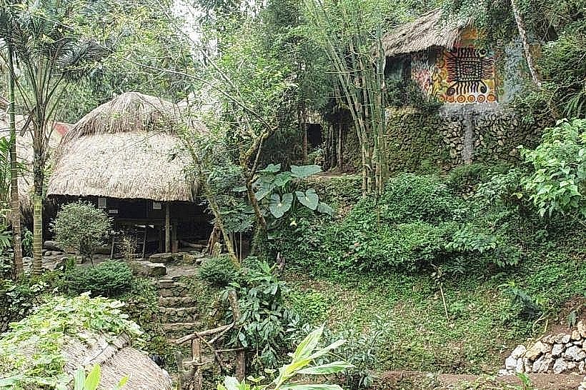
The population is approximately 366,000 (2020 Census), but this expands significantly due to a student population of over 100,000 and millions of seasonal tourists. The demographic is a mix of indigenous Ibaloi and Kankanaey peoples, alongside lowlanders and a large Korean expatriate community. The median age is 24 years.
Urban Layout & Key Districts
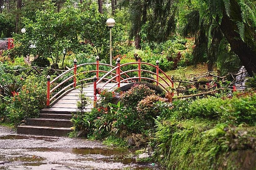
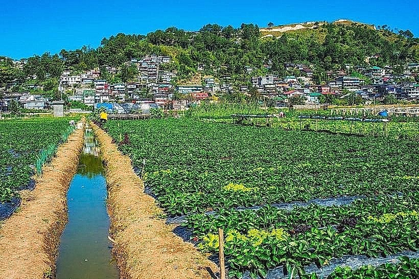
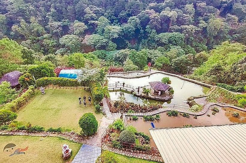
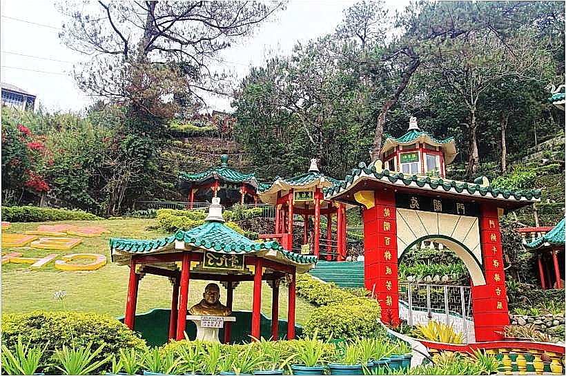
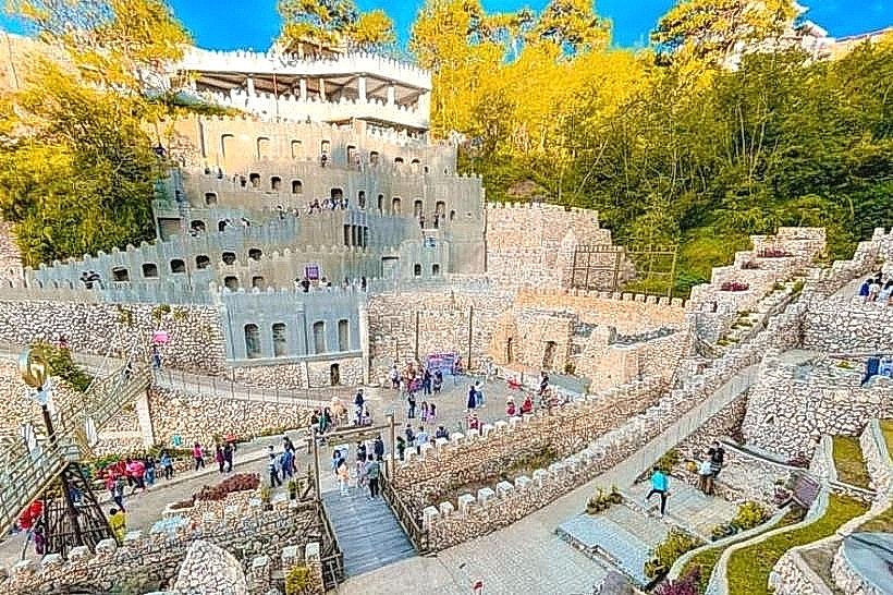
The city is organized around Burnham Park and Session Road. Key districts include Camp John Hay, a former US military rest area turned luxury eco-zone; La Trinidad (adjacent), the "Strawberry Capital"; and Mines View, a high-altitude residential and tourist zone. The topography is characterized by steep ridges and winding roads.
Top City Landmarks
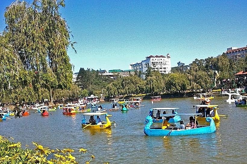
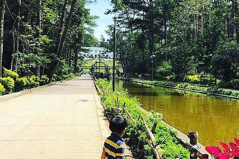
Burnham Park
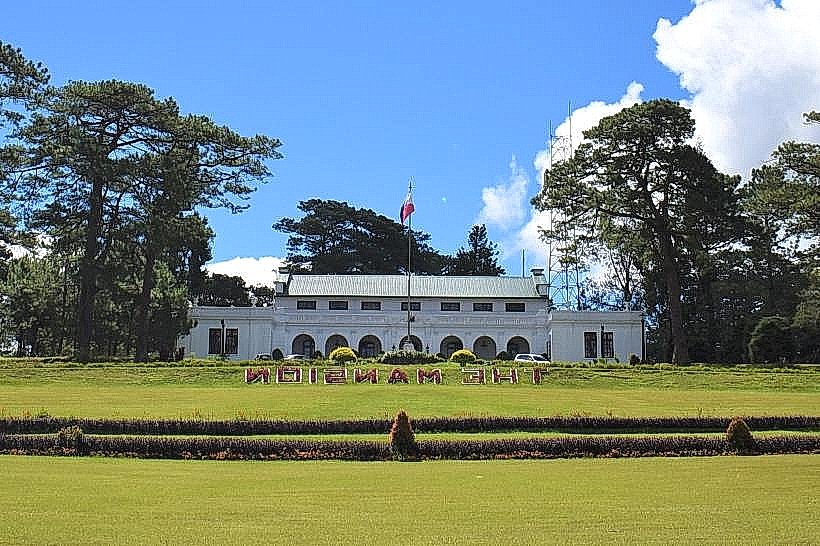
The Mansion (Official summer residence of the President)
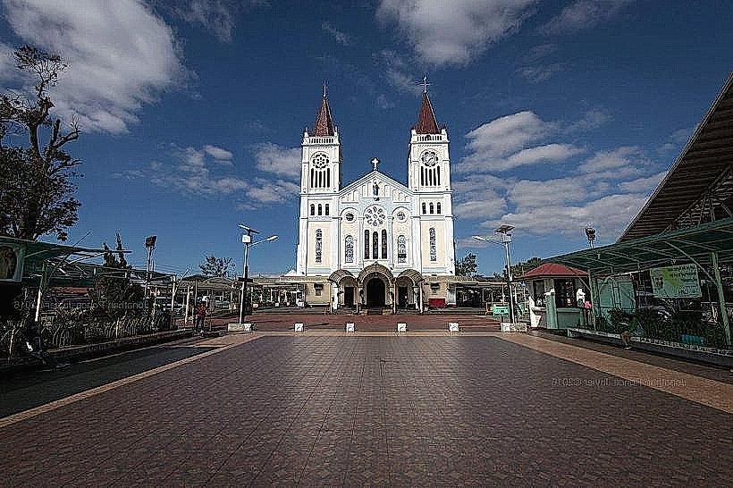
Baguio Cathedral (Our Lady of Atonement)
BenCab Museum (located on the city periphery)
Transportation Network
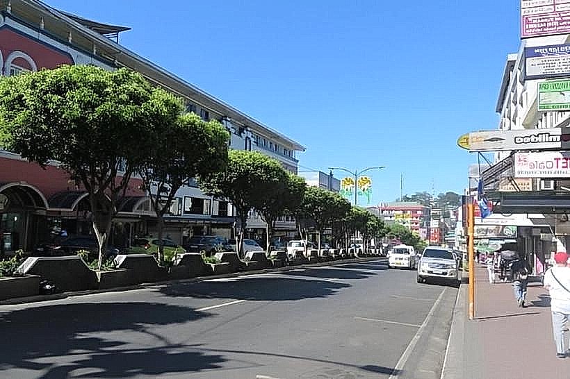
Movement is facilitated by a dense network of Jeepneys and white metered taxis. Baguio taxis are noted for their honesty (drivers routinely return exact change). There is no rail transit. Long-haul bus lines (Victory Liner, JoyBus) connect the city to Manila via the TPLEX. Traffic density is extreme in the city center (Session Road) and the La Trinidad-Baguio axis, especially on weekends.
Safety & "Red Zones"
The general safety level is very high compared to other Philippine cities. There are no specific "red zones," though the Public Market area requires vigilance against pickpockets during peak hours. Walking at night is generally considered safe in the well-lit central districts.
Digital & Financial Infrastructure
Average internet speed is 30–50 Mbps. Main carriers are Globe and Smart. Card acceptance is high in SM Baguio and Camp John Hay; cash or GCash is necessary for the public market and jeepneys. ATMs are highly accessible along Session Road and in the malls.
Climate & Air Quality
Temperatures range from 12°C to 25°C. The city is significantly cooler than the lowlands, often requiring jackets year-round. Air quality is generally moderate; while the pine forests provide filtration, heavy diesel emissions from jeepneys often become trapped in the valley during temperature inversions.
Culture & Social Norms
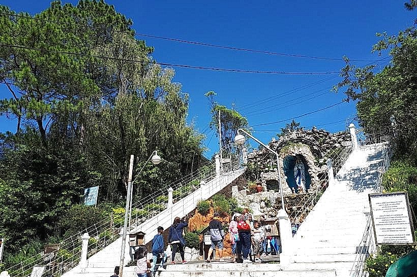
Tipping is not mandatory but 20–50 PHP is appreciated. "Panagbenga" (Flower Festival) in February is the primary cultural event. The city has a strong "Creative City" status (UNESCO); respect for local Cordilleran art and indigenous customs is expected. Public smoking and spitting of "moma" (betel nut) are strictly prohibited and enforced with fines.
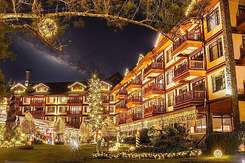
Accommodation Zones
Stay in Camp John Hay for quiet, high-end forest stays and safety.
Stay near Session Road for immediate access to nightlife, transport, and dining.
Local Cost Index
1 Espresso: 140 PHP ($2.45 USD)
1 Standard Lunch (Strawberry Tahô/Local eatery): 150–300 PHP ($2.60 – $5.20 USD)
1 Jeepney Ride: 13–15 PHP ($0.25 USD)
Nearby Day Trips
Mount Costa (Botanical Garden): 8 km (20 minutes)
Strawberry Farms (La Trinidad): 5 km (15 minutes)
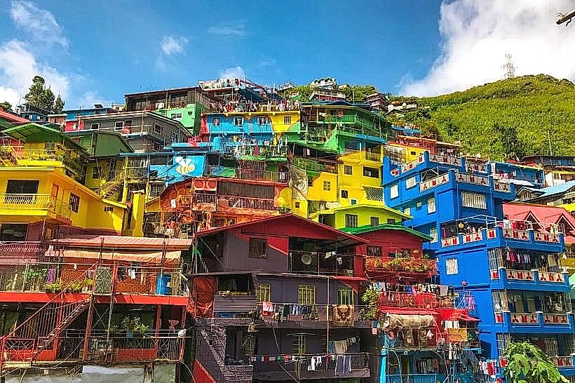
Valley of Colors: 4 km (10 minutes)
Mount Pulag: 45 km (Requires 3–4 hours transit to base)
Facts & Legends
Baguio is home to the "Laperal White House," a Victorian structure widely rumored to be haunted by spirits from the WWII era. A verified historical fact is that Baguio was the site of the formal surrender of General Tomoyuki Yamashita in 1945, marking the end of the Japanese occupation of the Philippines. Local legend suggests the "City of Pines" was named after the Ibaloi word bagiw, meaning "moss."