Information
Landmark: Alto de GarajonayCity: La Gomera
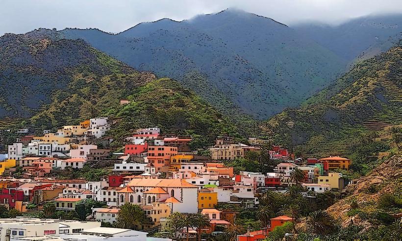
Country: Canary Islands
Continent: Europe
Alto de Garajonay, La Gomera, Canary Islands, Europe
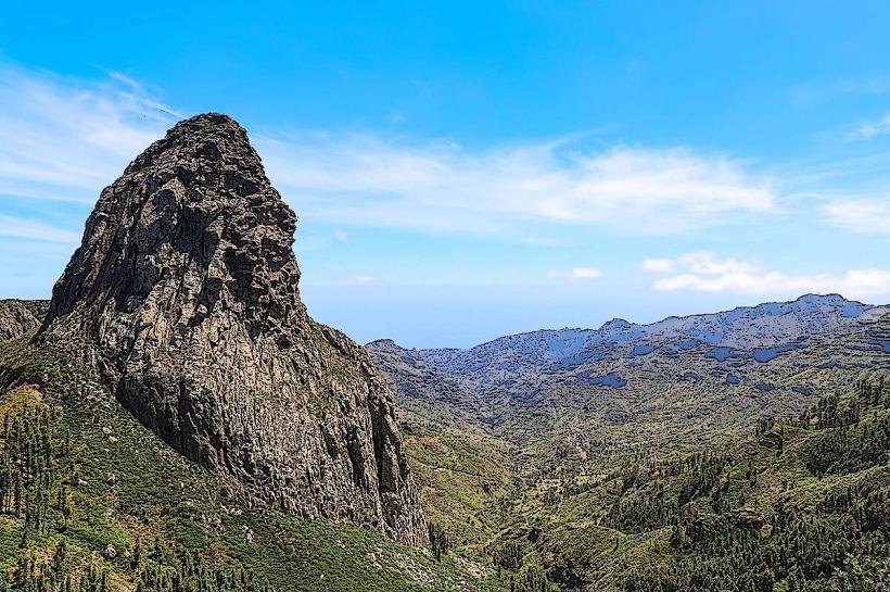
Alto de Garajonay is the highest peak on the island of La Gomera, situated within the Garajonay National Park. It serves as a central point for the island's ancient laurel forest ecosystem.
Visual Characteristics
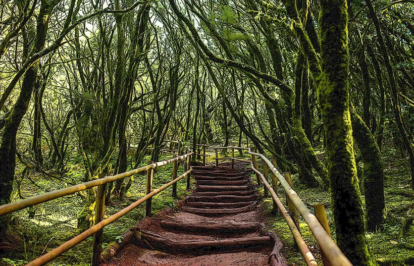
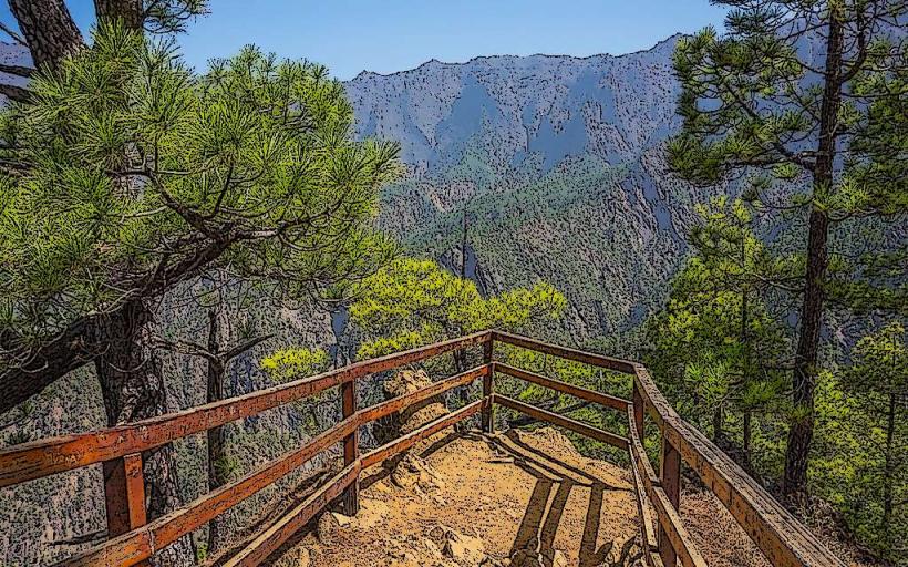
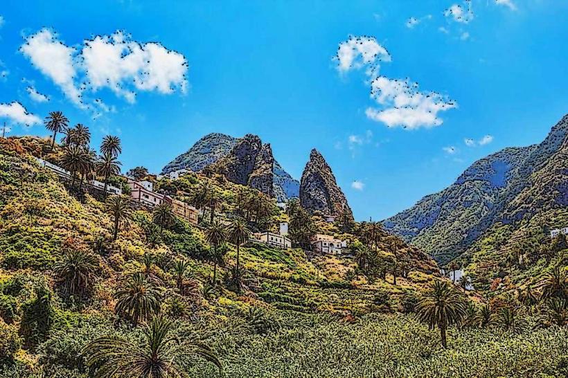
The summit of Alto de Garajonay reaches an elevation of 1,487 meters above sea level. The peak itself is a relatively flat, rocky outcrop, often shrouded in mist due to the trade winds. The surrounding area is characterized by dense laurisilva forest, a subtropical cloud forest with evergreen trees, mosses, and ferns. The rock formations at the summit are volcanic in origin, typically dark grey basalt.
Location & Access Logistics
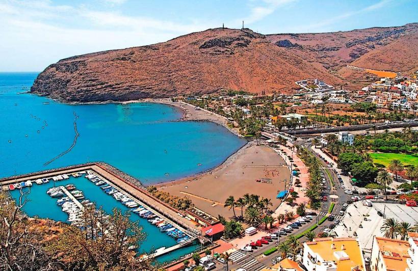
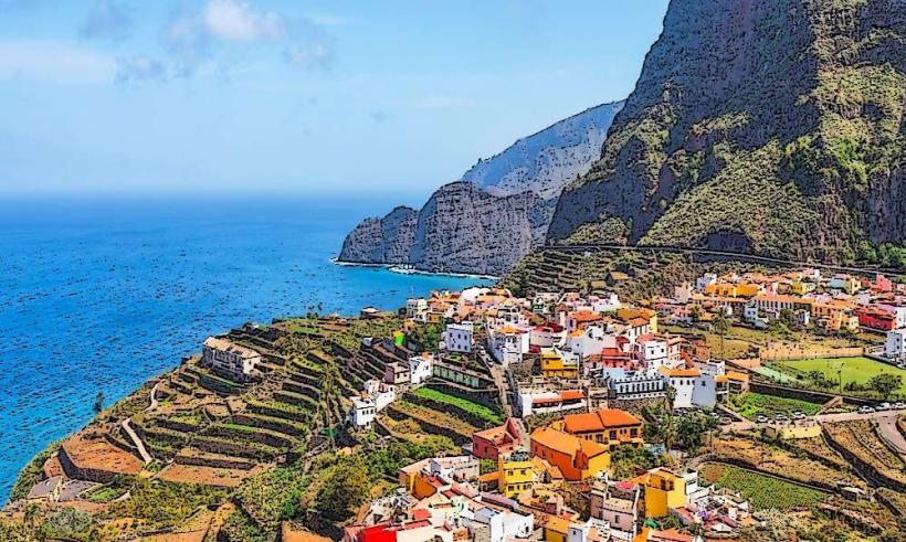
Alto de Garajonay is located centrally within the Garajonay National Park. Access is primarily via the GM-2 road, which traverses the park. From San Sebastián de La Gomera, the capital, it is approximately a 25-kilometer drive northwest. Parking is available at designated areas near the summit trailheads, such as the Pista de Garajonay parking lot. Public transport options are limited; some bus lines (e.g., Line 1, Line 2) connect to villages within the park, but direct access to the summit trailhead requires a short hike or taxi.
Historical & Ecological Origin
Alto de Garajonay is a volcanic peak, formed through successive eruptions and erosion over millions of years, characteristic of the Canary Islands' geological history. Ecologically, it is the heart of one of the best-preserved examples of laurisilva forest, a relict ecosystem from the Tertiary Period. This forest type thrived in Southern Europe and North Africa millions of years ago but is now largely confined to Macaronesia due to climate changes.
Key Highlights & Activities
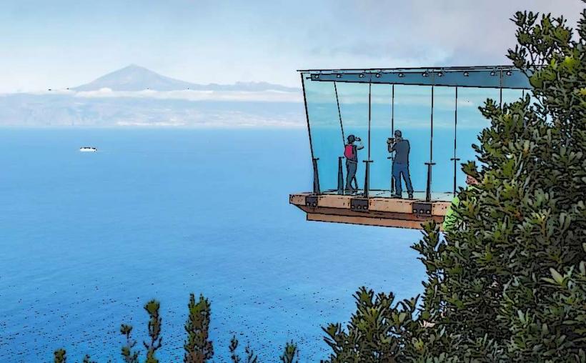
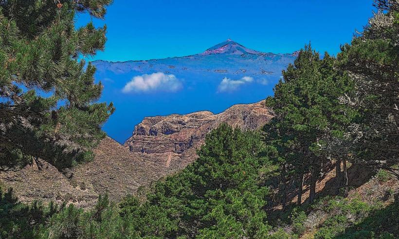
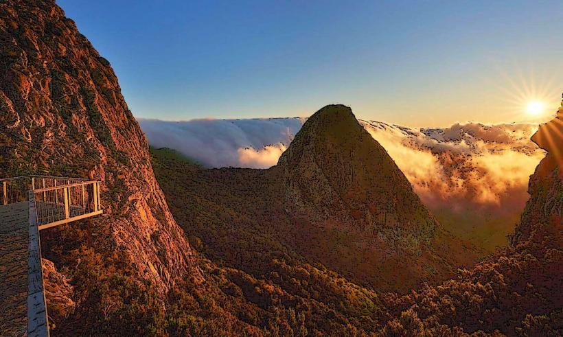
Hiking to the summit of Alto de Garajonay is the primary activity, offering panoramic views of La Gomera and, on clear days, neighboring islands like Tenerife and La Palma. Several well-marked trails lead to the peak, including a short, accessible path from the main parking area. Exploring the surrounding laurisilva forest via designated hiking routes is also a key highlight.
Infrastructure & Amenities
Restrooms are available at the nearby Juego de Bolas Visitor Center, approximately 5 kilometers north. There are no permanent food vendors directly at the summit, but picnic areas are present along some trails. Cell phone signal (4G/5G) is generally available at the summit and along major roads within the park. Shade is abundant on forest trails but limited at the exposed summit.
Best Time to Visit
The best time to visit Alto de Garajonay for clear views is during the drier months from May to October. However, the summit can be clear at any time of year. Early mornings often provide the best visibility before the trade winds bring in mist. For photography, sunrise or sunset can offer dramatic lighting, though mist can obscure views. There are no tide requirements as it is an inland peak.
Facts & Legends
The name Garajonay is rooted in a tragic Guanche legend of two lovers, Gara and Jonay, from La Gomera and Tenerife, respectively. Their forbidden love led them to take their own lives at the peak. Geologically, the peak is a crucial part of the island's hydrological cycle, as the laurisilva forest's ability to "comb" moisture from the clouds (horizontal rain) is vital for La Gomera's water supply.
Nearby Landmarks
- Laguna Grande: 2.5km West
- Roque Agando: 7km Southeast
- Juego de Bolas Visitor Center: 5km North
- Mirador de Abrante: 10km Northeast