Information
Landmark: La Gomera Natural ReserveCity: La Gomera
Country: Canary Islands
Continent: Europe
La Gomera Natural Reserve, La Gomera, Canary Islands, Europe
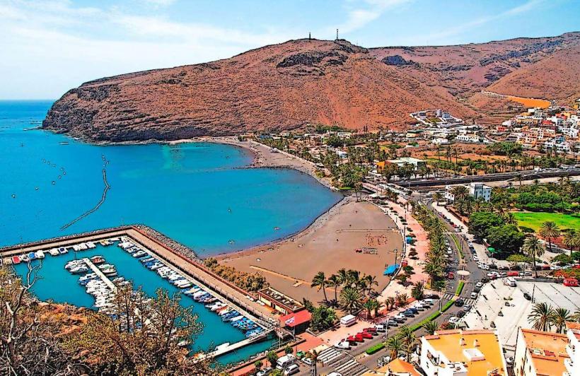
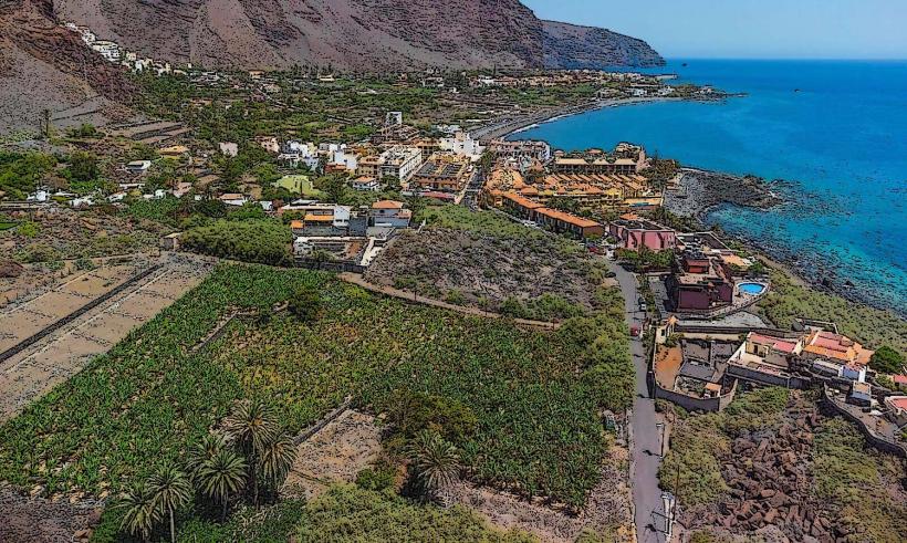
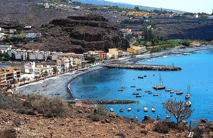
La Gomera Natural Reserve encompasses significant portions of the island's diverse ecosystems. It is located on the island of La Gomera, one of the Canary Islands in the Atlantic Ocean.
Visual Characteristics
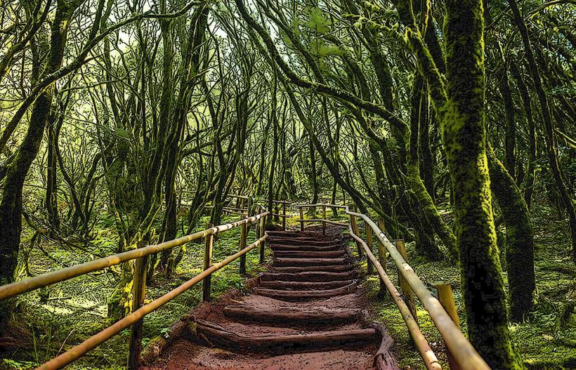
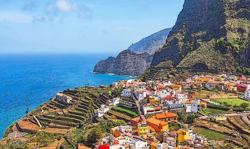
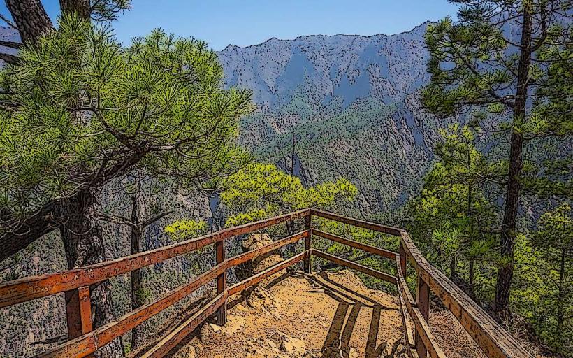
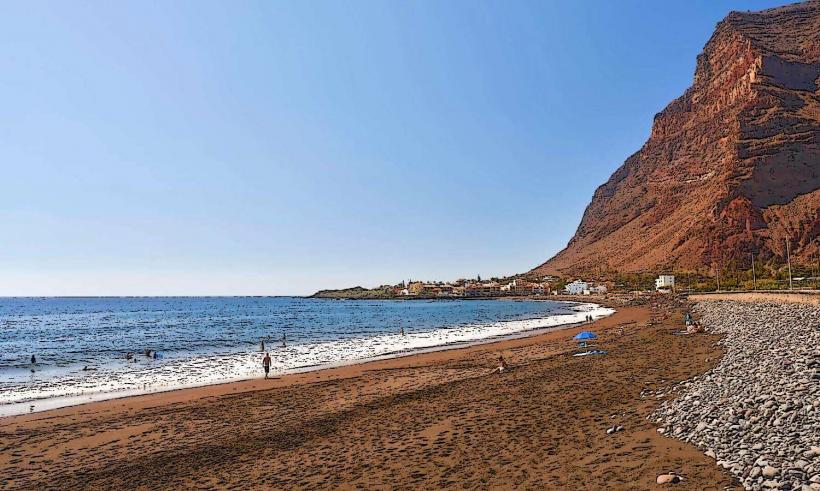
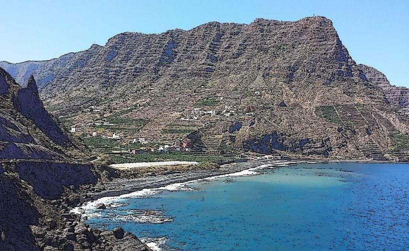
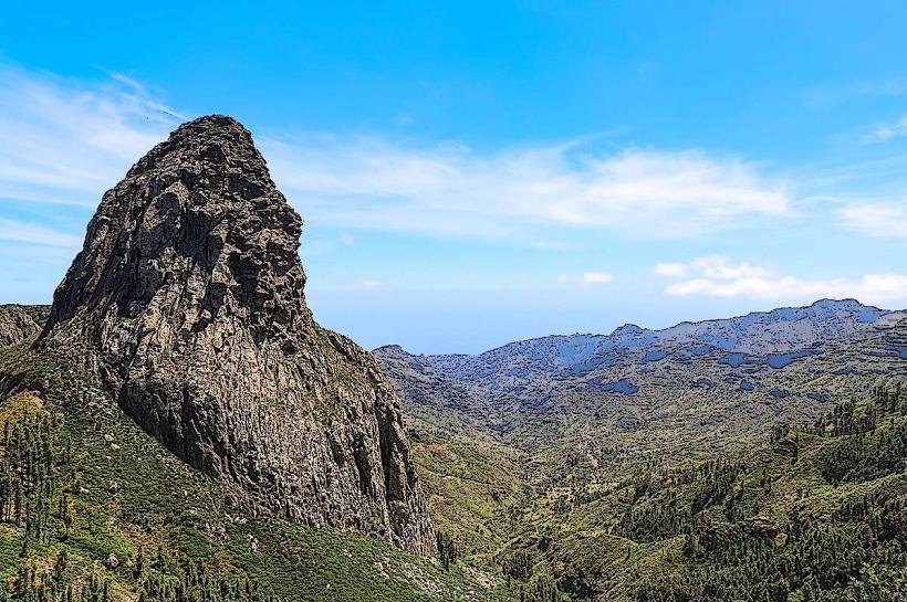
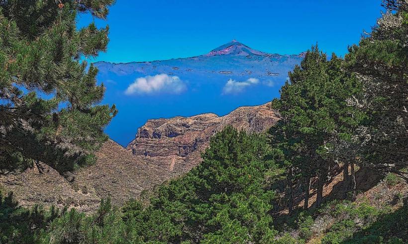
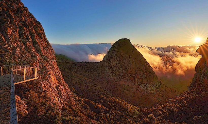
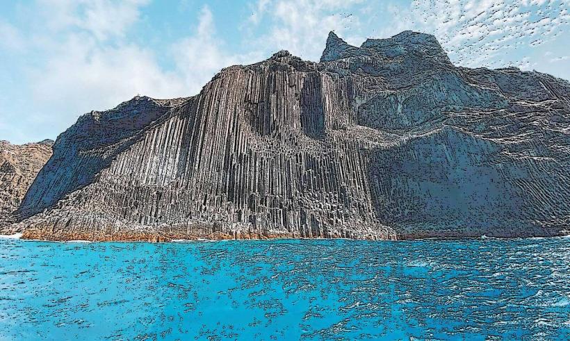
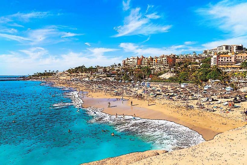
The reserve features dense laurel forests, particularly in higher elevations, characterized by moss-covered trees and ferns. Lower altitudes present xerophytic scrubland and palm groves. The terrain is rugged, marked by deep ravines (barrancos) and volcanic rock formations, with coastal areas exhibiting black sand beaches and basalt cliffs.
Location & Access Logistics
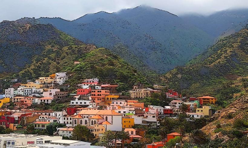
Access to various parts of the reserve is primarily via the island's road network, including the GM-1 and GM-2 highways. From San Sebastián de La Gomera, the capital, central areas like Garajonay National Park are approximately 25km northwest, accessible by car or local bus lines (e.g., Line 1 to Valle Gran Rey, Line 2 to Vallehermoso, with stops near park entrances). Parking is available at designated visitor centers and trailheads. Public transport is limited to main routes; exploring deeper areas often requires a rental vehicle or organized tours.
Historical & Ecological Origin
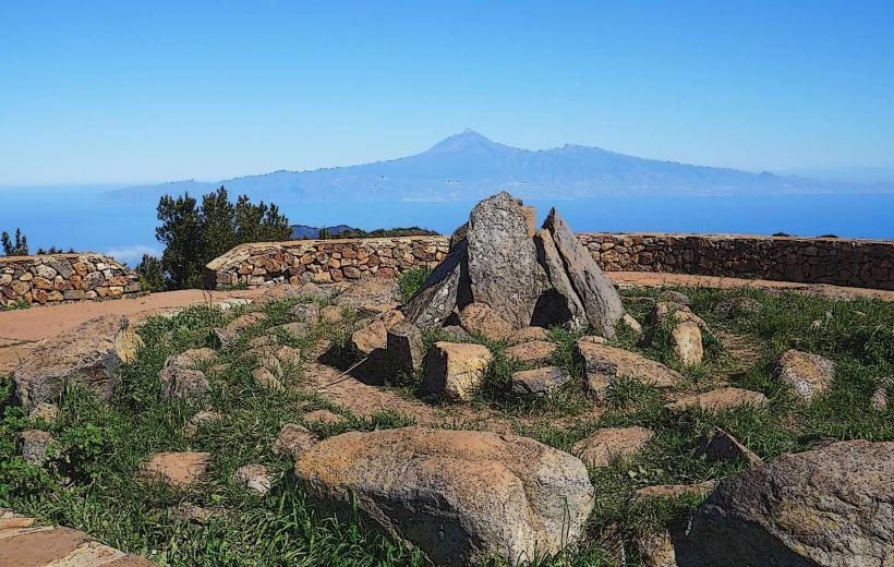
The island of La Gomera is of volcanic origin, formed through successive eruptions over millions of years. The reserve's primary ecological classification is a relict Tertiary laurel forest (laurisilva), a subtropical forest type that covered much of Southern Europe and North Africa millions of years ago. The entire island of La Gomera was declared a UNESCO Biosphere Reserve in 2012, recognizing its unique biodiversity and sustainable development efforts.
Key Highlights & Activities
Hiking is a primary activity, with numerous marked trails traversing the laurel forests and coastal paths. Birdwatching opportunities exist for endemic species such as the La Gomera laurel pigeon. Photography is popular, particularly within the misty forests and at viewpoints overlooking the barrancos. Specific trails include the circular route around Laguna Grande and the ascent to Alto de Garajonay.
Infrastructure & Amenities
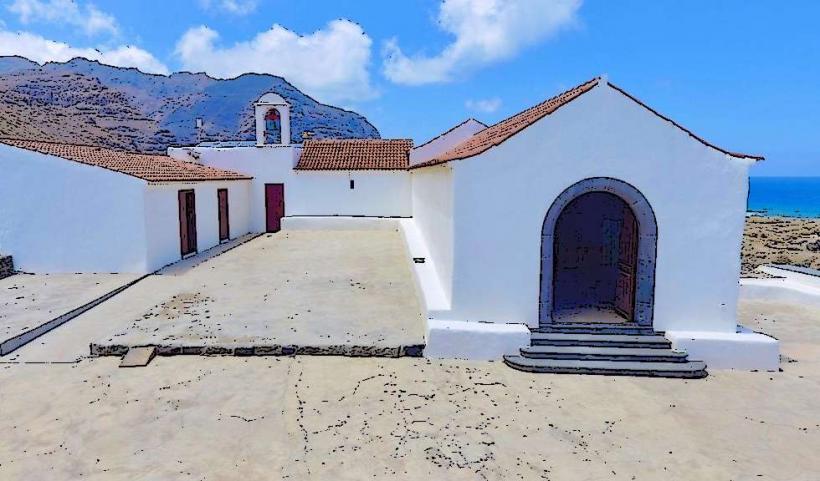
Restrooms are available at major visitor centers, such as the Juego de Bolas Visitor Center. Shade is abundant within the laurel forests but limited in coastal and lower-altitude areas. Cell phone signal (4G/5G) is generally reliable in populated areas and along main roads, but can be intermittent or absent in deep ravines and remote sections of the reserve. Small cafes and food vendors are located in nearby villages, not typically within the core reserve areas.
Best Time to Visit
The best months for visiting are April to June and September to November, offering mild temperatures and less rainfall. For photography, early mornings or late afternoons provide softer light, especially within the forests where mist often enhances the atmosphere. No specific high/low tide requirements apply to the forest areas, but coastal exploration may be influenced by tides.
Facts & Legends
La Gomera is home to Silbo Gomero, a pre-Hispanic whistled language developed by the island's original inhabitants to communicate across deep ravines. This unique language was declared a Masterpiece of the Oral and Intangible Heritage of Humanity by UNESCO in 2009 and is still taught in schools on the island.
Nearby Landmarks
- Garajonay National Park: 0km, Central
- Roque de Agando: 10km North
- Valle Gran Rey: 25km West
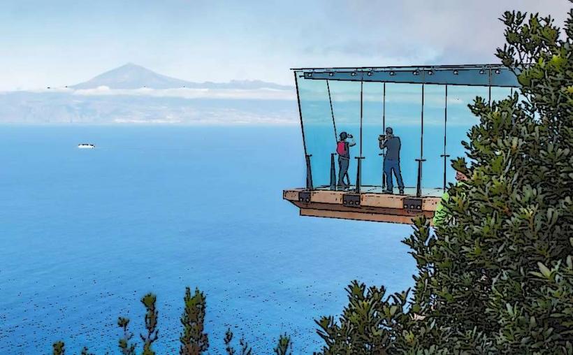
- Mirador de Abrante: 15km North-East
- Los Órganos: 30km North-West