Information
Landmark: El Cedro ForestCity: La Gomera
Country: Canary Islands
Continent: Europe
El Cedro Forest, La Gomera, Canary Islands, Europe
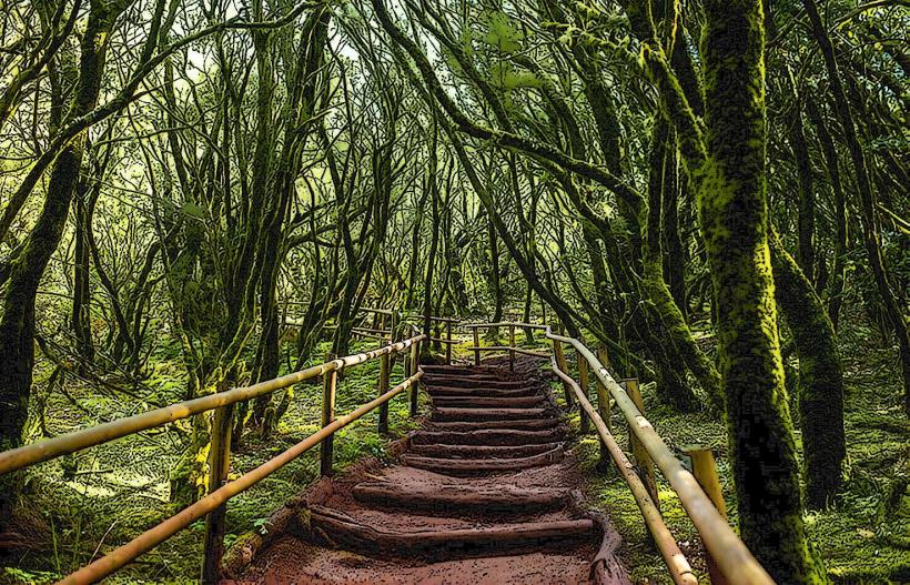
El Cedro Forest is a relict laurisilva forest situated within Garajonay National Park on the island of La Gomera, one of the Canary Islands.
Visual Characteristics
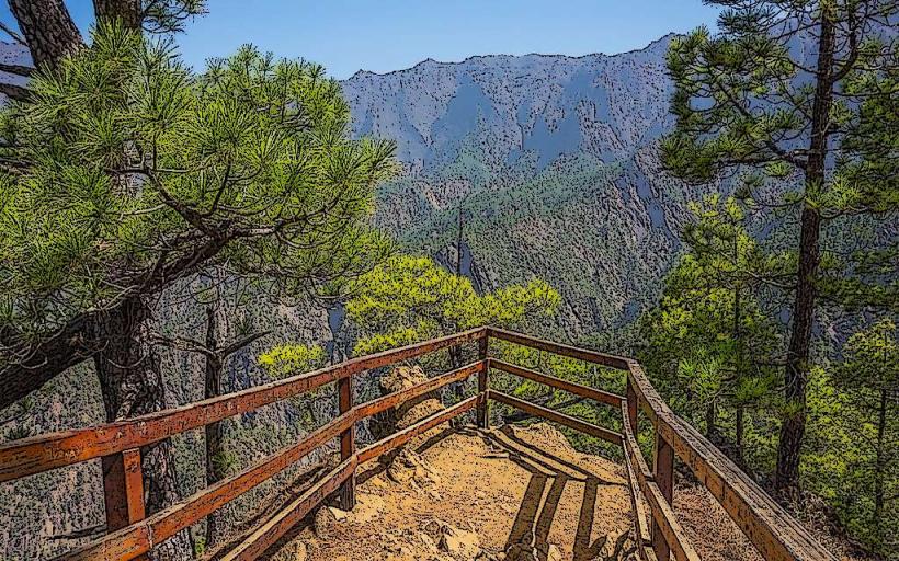
The forest is characterized by a dense, evergreen canopy composed primarily of laurel species, including Laurus novocanariensis, Ocotea foetens, and Apollonias barbujana. The understory is rich with ferns, mosses, and lichens, thriving in the high humidity and frequent mist. Tree trunks are often gnarled and covered in epiphytes, contributing to a verdant, almost primeval appearance. The dominant colors are deep greens and browns, with occasional lighter greens from new growth. Visibility can be reduced by fog and cloud cover, which are common.
Location & Access Logistics
El Cedro Forest is located in the northeastern part of Garajonay National Park. Access is typically via the GM-2 road, which traverses the park. From San Sebastián de La Gomera, the capital, it is approximately 25 kilometers northwest, a drive of about 45 minutes. Parking is available at designated areas such as the Laguna Grande visitor center or smaller parking bays near trailheads like the one leading to the El Cedro hamlet. Public transport is limited; specific bus lines (e.g., Line 2 from San Sebastián to Vallehermoso) may have stops near the park's periphery, requiring a walk or taxi transfer to reach the forest's core trails.
Historical & Ecological Origin
El Cedro Forest is a prime example of a Laurisilva forest, a subtropical cloud forest ecosystem that covered much of Southern Europe and North Africa millions of years ago during the Tertiary period. Its survival on La Gomera is due to the island's unique climate, characterized by persistent trade winds and high humidity, which create a constant mist (horizontal rain) that sustains this relict vegetation. The forest is a living fossil, representing an ecosystem that largely disappeared elsewhere due to climate change.
Key Highlights & Activities
Hiking is the primary activity, with numerous well-marked trails traversing the forest. The GR 131 long-distance path passes through the area. Specific trails include the route to the El Cedro waterfall, a short, accessible walk. Bird watching is possible, with endemic species like the Laurel Pigeon and Bolle's Pigeon present. Photography is popular, especially capturing the misty atmosphere and dense foliage. Guided tours are offered by the national park at various times, often departing from visitor centers.
Infrastructure & Amenities
Restrooms are available at the Laguna Grande visitor center and at the small bar/restaurant in the El Cedro hamlet. The forest provides extensive natural shade from its dense canopy. Cell phone signal (4G/5G) is intermittent and often poor within the deeper parts of the forest due to the terrain and dense vegetation. A small bar/restaurant is located in the El Cedro hamlet, offering basic food and beverages. Water fountains are scarce; it is advisable to carry sufficient water.
Best Time to Visit
The best months to visit are typically spring (April to June) and autumn (September to November) when temperatures are mild and the forest is particularly lush. The forest experiences frequent mist and cloud cover year-round. For photography, early morning often provides the most atmospheric conditions with fog and soft light filtering through the canopy. There are no specific high/low tide requirements for visiting the forest.
Facts & Legends
Local folklore often refers to El Cedro Forest as an "enchanted forest" due to its ancient appearance and frequent mist, which can create a sense of mystery and isolation. It is said that the forest holds secrets of the island's past. Ecologically, the forest is a UNESCO World Heritage site, recognized for its outstanding universal value as a relict of a virtually vanished ecosystem.
Nearby Landmarks
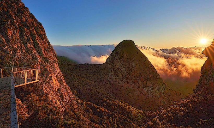
- Laguna Grande: 2.5km West. A circular clearing with picnic areas and a visitor center.
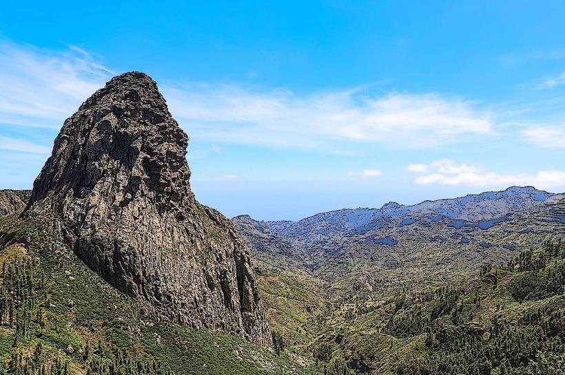
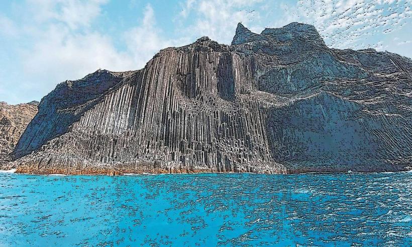
- Roque de Agando: 7km South-East. A prominent volcanic plug offering panoramic views.
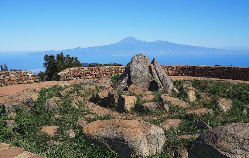
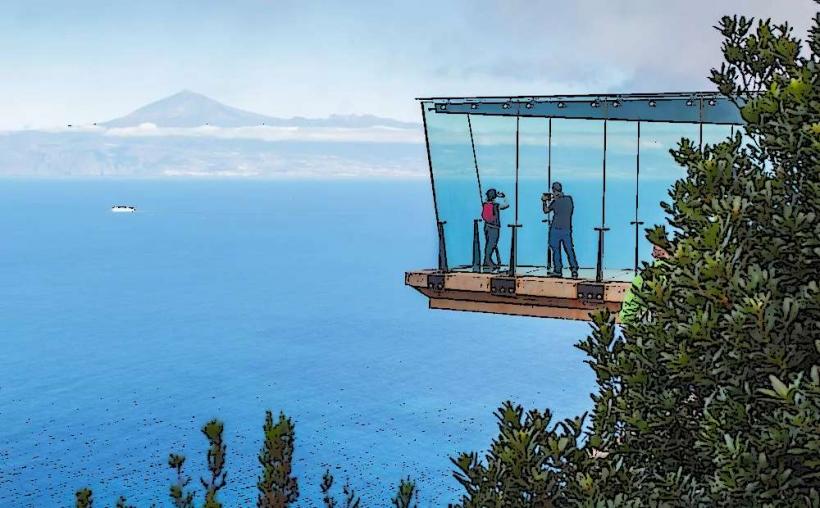
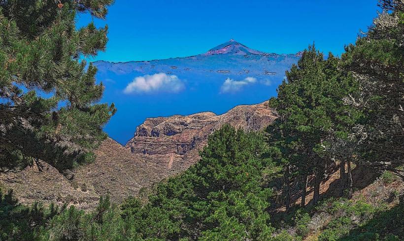
- Mirador de Abrante: 10km North. A glass-bottomed viewpoint offering views of Agulo and Tenerife.
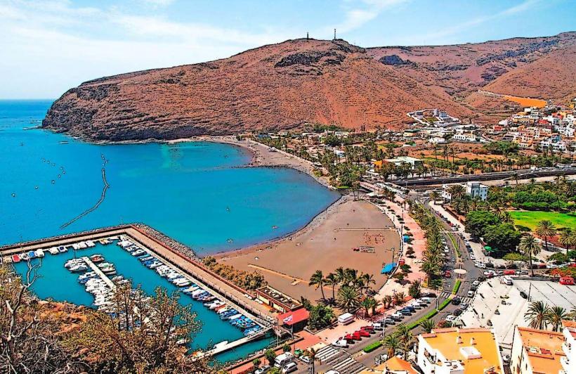
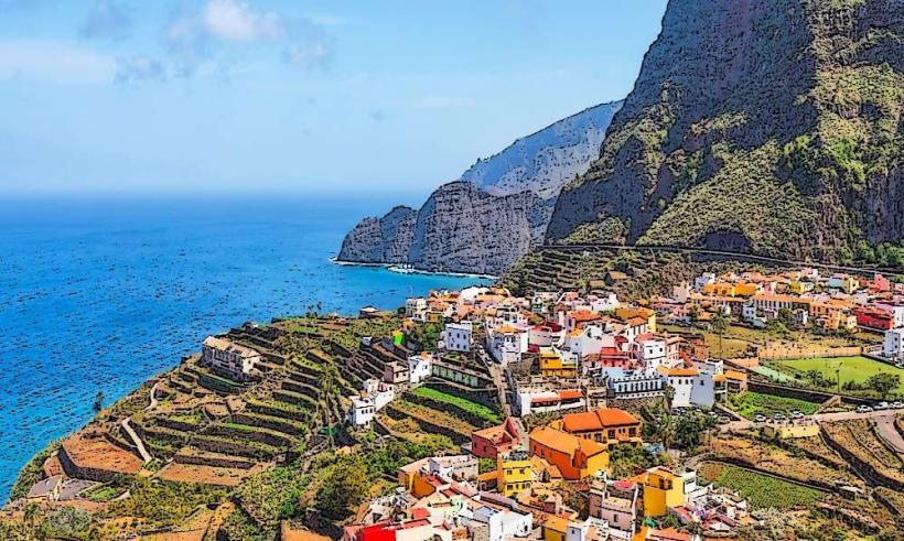
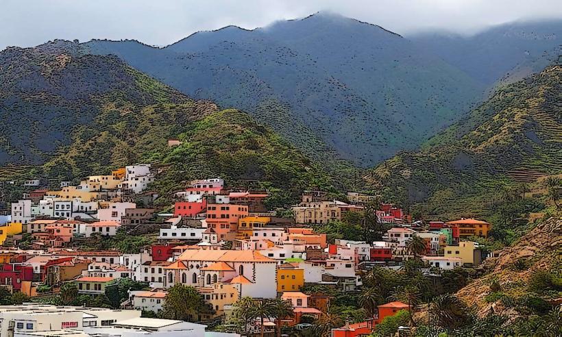
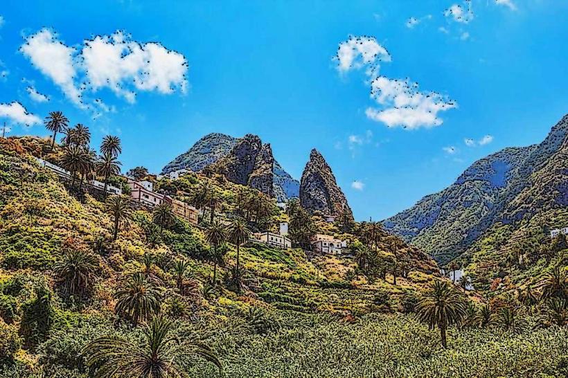
- Hermigua Valley: 8km North-East. A fertile valley with terraced fields and traditional villages.
- Alto de Garajonay: 6km South-West. The highest point on La Gomera, offering 360-degree views.