Information
Landmark: Mirador de los RoquesCity: La Gomera
Country: Canary Islands
Continent: Europe
Mirador de los Roques, La Gomera, Canary Islands, Europe
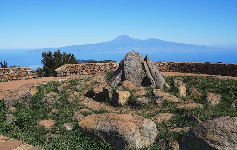
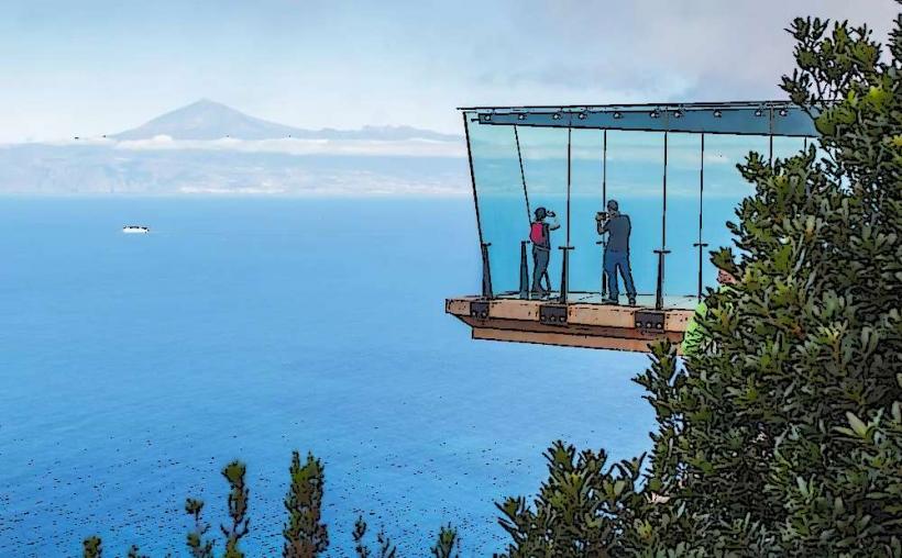
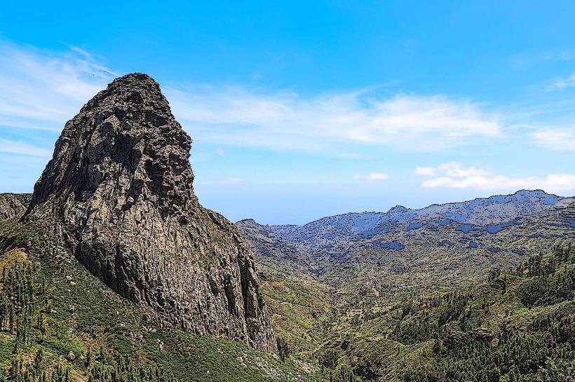
Mirador de los Roques is a designated viewpoint situated in the central highlands of La Gomera, Canary Islands, providing direct views of several prominent volcanic rock formations.
Visual Characteristics
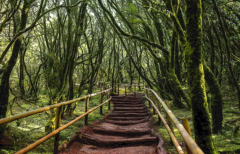
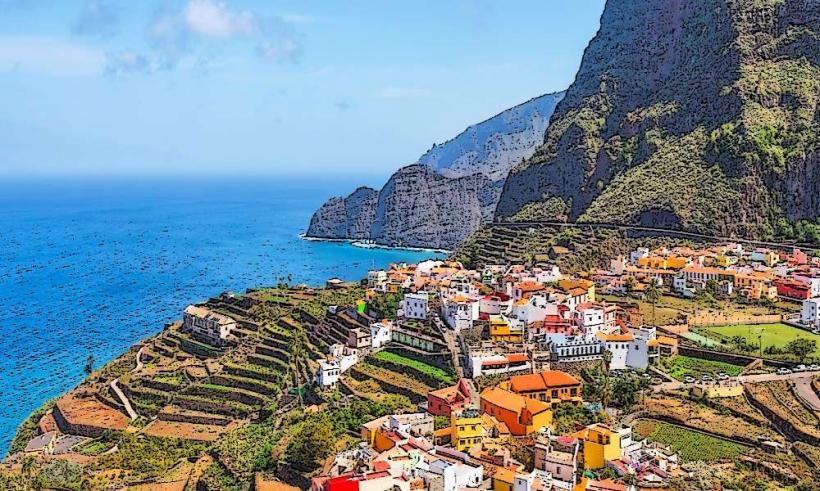
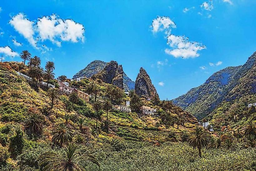
The viewpoint consists of a paved platform with a low stone wall, offering an unobstructed panorama. The primary features observed are the volcanic plugs known as the Roques: Roque Agando, Roque La Zarcita, and Roque Carmona. These formations are dark, columnar basaltic structures, remnants of ancient volcanic activity, rising sharply from the surrounding forested slopes. Their surfaces are rugged, exhibiting vertical striations from cooling lava and subsequent erosion. The surrounding vegetation is primarily laurel forest and heathland, providing a dense green contrast to the dark rock.
Location & Access Logistics
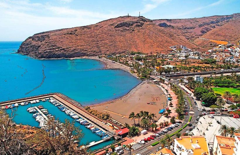
The Mirador de los Roques is located directly on the GM-2 highway, approximately 15 kilometers southwest of San Sebastián de La Gomera. Access is by vehicle via the GM-2, which traverses the island's central ridge. A dedicated, unpaved parking area is available immediately adjacent to the viewpoint, accommodating approximately 10-15 vehicles. Public transport options are limited; the infrequent bus line 1 (San Sebastián - Valle Gran Rey) passes this section of the GM-2, but specific stops at the mirador are not guaranteed. Taxis or rental cars are the most reliable methods of access.
Historical & Ecological Origin
The Roques are geological formations classified as volcanic plugs or necks, formed by magma solidifying within the vent of an active volcano. Over millions of years, the softer surrounding rock eroded away, leaving the harder, more resistant basaltic core exposed. This process is characteristic of the island's Miocene-Pliocene volcanic history. The viewpoint itself was established to provide safe and accessible observation of these natural monuments, which are integral to La Gomera's geological identity.
Key Highlights & Activities
The primary activity is panoramic viewing and photography of the Roques and the surrounding Garajonay National Park landscape. Interpretive panels provide information on the geological significance of the formations. Short walks along the roadside verge are possible, but no dedicated hiking trails originate directly from the mirador itself.
Infrastructure & Amenities
There are no public restrooms directly at the Mirador de los Roques. Shade is minimal, provided only by a few scattered trees near the parking area. Cell phone signal (4G/5G) is generally available and reliable at this elevation. There are no food vendors or shops at the viewpoint; the nearest facilities are located in the nearby village of Degollada de Peraza, approximately 3 kilometers east.
Best Time to Visit
The best time to visit for clear visibility and photography is during the morning hours, typically between 9:00 and 11:00, before the common midday cloud cover (known as "panza de burro") often envelops the central highlands. The months from April to June and September to October offer the most stable weather conditions with less chance of rain or dense fog. There are no specific tide requirements as this is an inland location.
Facts & Legends
Local folklore suggests the Roques are petrified giants or ancient gods, standing guard over the island. Geologically, Roque Agando is the most prominent and recognizable, often considered a symbol of La Gomera. A verified historical oddity is that the GM-2 road was specifically engineered to provide direct views of these formations, making the mirador an intentional part of the island's infrastructure development.
Nearby Landmarks
- Degollada de Peraza: 3km East (village with a restaurant and small shop)
- Mirador de la Degollada de Peraza: 3.2km East (another viewpoint offering different perspectives)
- Garajonay National Park Visitor Center (Juego de Bolas): 10km Northwest (main interpretive center for the national park)
- Alto de Garajonay: 12km Northwest (highest point on La Gomera, accessible via hiking trails)