Information
Landmark: Mirador de la Degollada de PerazaCity: La Gomera
Country: Canary Islands
Continent: Europe
Mirador de la Degollada de Peraza, La Gomera, Canary Islands, Europe
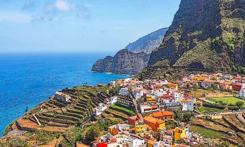
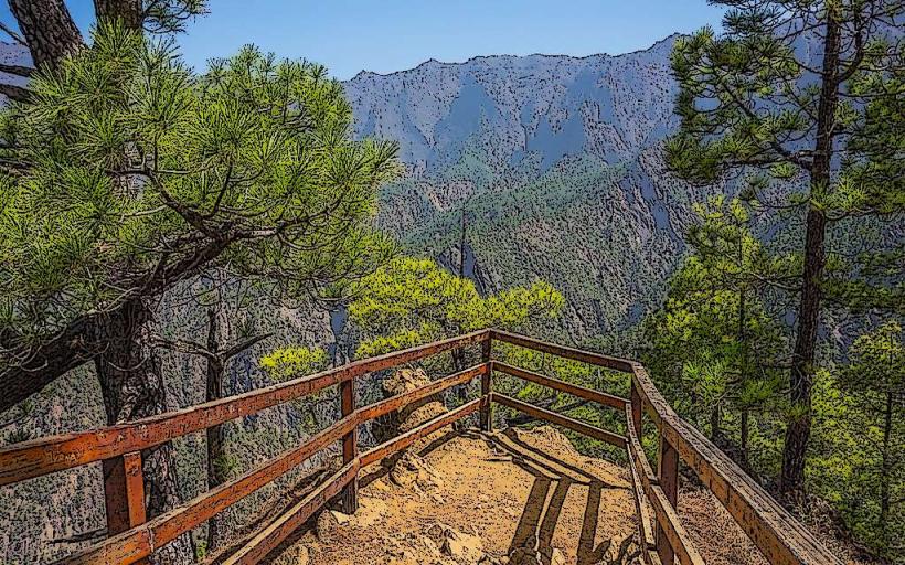
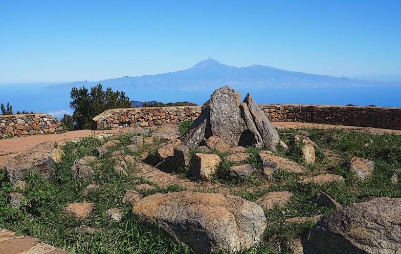
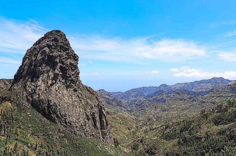
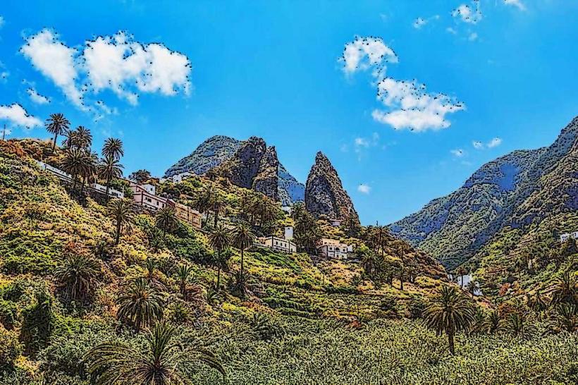
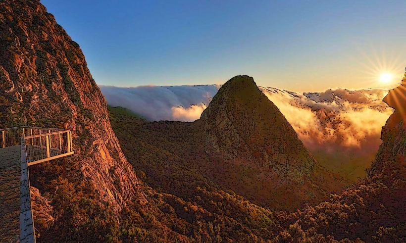
The Mirador de la Degollada de Peraza is a panoramic viewpoint located in the central highlands of La Gomera, Canary Islands. It provides extensive views across the island's rugged terrain, including ravines, forests, and the Atlantic Ocean.
Visual Characteristics
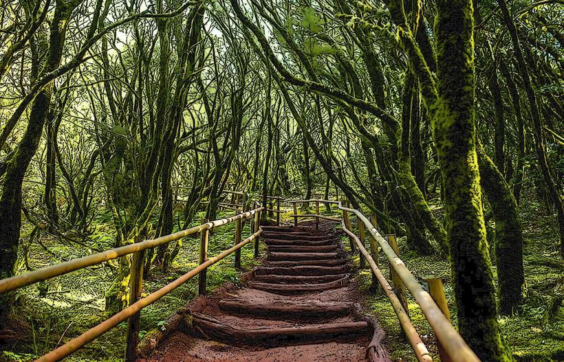
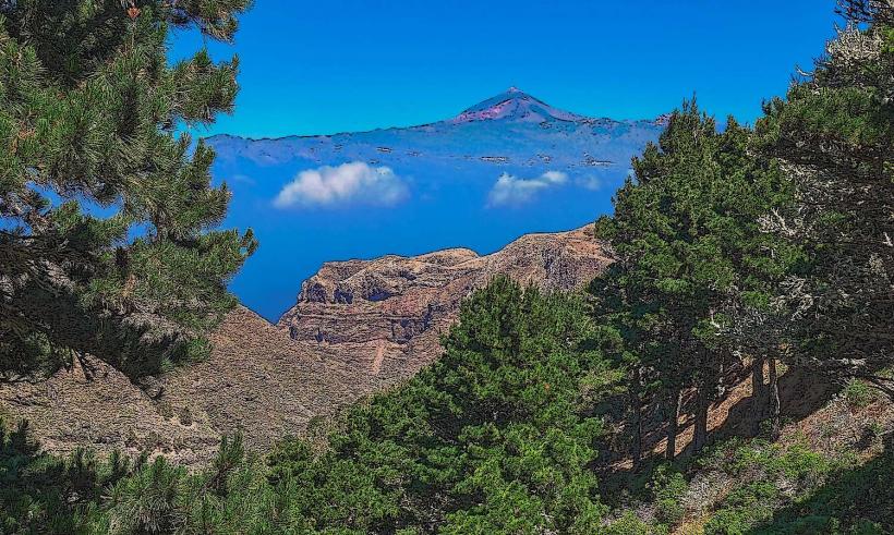
The viewpoint features a stone and concrete platform with safety barriers, designed to blend with the natural environment. The primary visual characteristic is the expansive vista, encompassing the deep barrancos (ravines) of Barranco de Santiago, the green canopy of the Garajonay National Park, and the distant silhouette of Tenerife and El Teide on clear days. The surrounding landscape is characterized by volcanic rock formations and dense laurel forest vegetation.
Location & Access Logistics
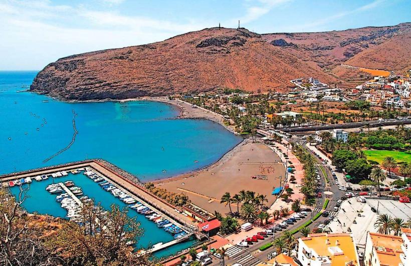
The mirador is situated directly on the GM-2 road, approximately 12 kilometers southwest of San Sebastián de La Gomera. Access is primarily by private vehicle. A small, unpaved parking area is available directly adjacent to the viewpoint. Public transport options are limited; some intercity bus lines (e.g., Line 1 from San Sebastián towards Valle Gran Rey) pass by the general area, but a specific stop at the mirador is not guaranteed, requiring a walk along the road.
Historical & Ecological Origin
The viewpoint itself is a man-made structure, constructed to provide accessible scenic overlooks for visitors traversing the island's central route. Its purpose is purely observational, capitalizing on the natural topography. The "Degollada" in its name refers to a mountain pass or saddle. The surrounding landscape is a result of millions of years of volcanic activity and subsequent erosion, forming the island's characteristic steep ravines and plateaus. The area borders the ancient laurel forests of Garajonay National Park, a relict ecosystem from the Tertiary period.
Key Highlights & Activities
The primary activity is panoramic viewing and photography of the island's diverse landscapes. Visitors can identify key geographical features such as the Barranco de Santiago and the peaks within Garajonay National Park. The viewpoint serves as a convenient stop for travelers exploring the GM-2 route.
Infrastructure & Amenities
The mirador provides a paved viewing platform and safety railings. There are no dedicated restrooms or food vendors directly at the site. Limited natural shade is available from surrounding trees. Cell phone signal (4G/5G) is generally available but can be intermittent depending on the network provider and specific location on the platform.
Best Time to Visit
The best time to visit for clear visibility and photography is during the morning hours, typically before 11:00 AM, when the light is softer and before potential cloud cover or haze develops. The months of April to June and September to November offer pleasant weather conditions with less chance of heavy fog, which can obscure views at this elevation.
Facts & Legends
The name "Degollada de Peraza" is believed to be linked to Hernán Peraza the Younger, a historical figure from the 15th century who was the Lord of La Gomera. Legend states he was ambushed and killed in a nearby pass by Gomeran natives during a rebellion, giving rise to the name "Peraza's Pass" or "Peraza's Throat."
Nearby Landmarks
- Roque de Agando: 2.5km North
- Garajonay National Park Visitor Center (Juego de Bolas): 8km Northwest
- Mirador de los Roques: 3km North
- San Sebastián de La Gomera: 12km Northeast