Information
Landmark: Batteaux BayCity: Tobago
Country: Trinidad and Tobago
Continent: North America
Batteaux Bay, Tobago, Trinidad and Tobago, North America
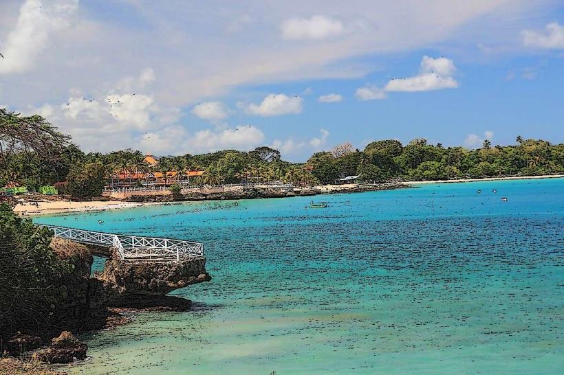
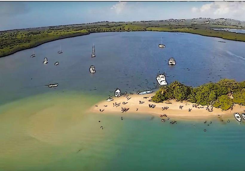
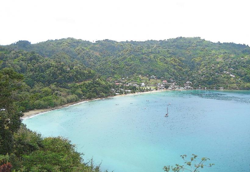
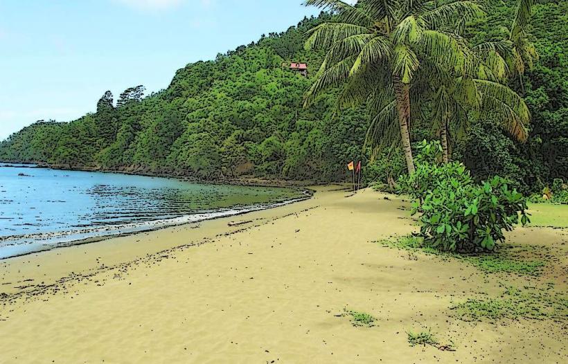
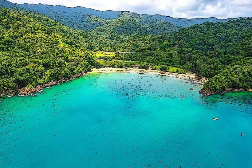
Batteaux Bay is a coastal inlet located on the island of Tobago, within the nation of Trinidad and Tobago.
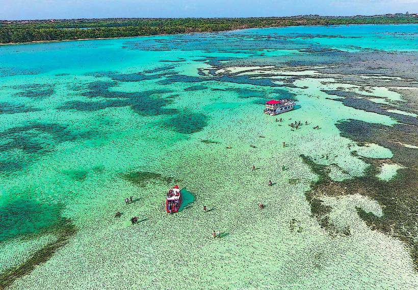
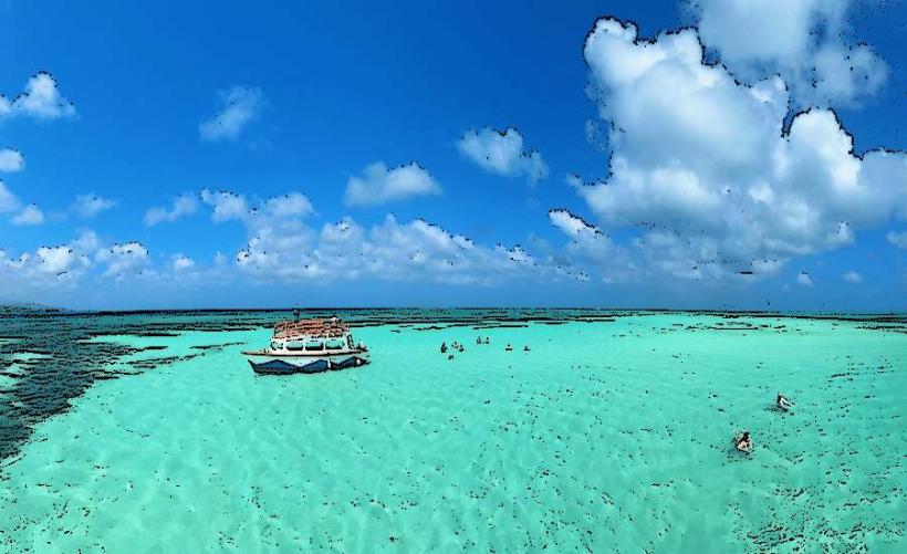
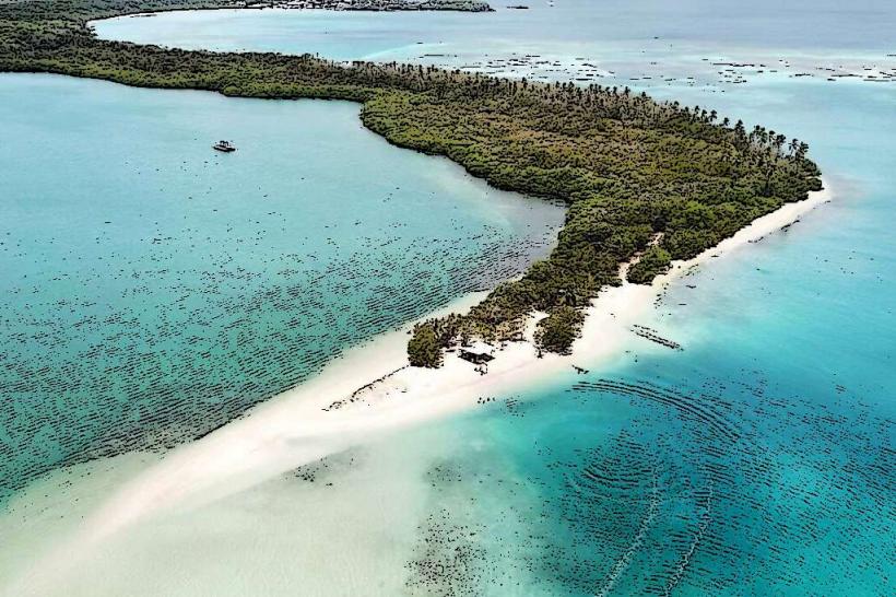
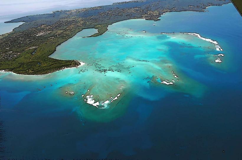
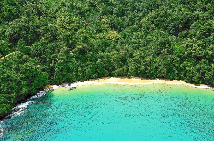
This bay is characterized by its crescent shape and the presence of coral reefs offshore.
Visual Characteristics
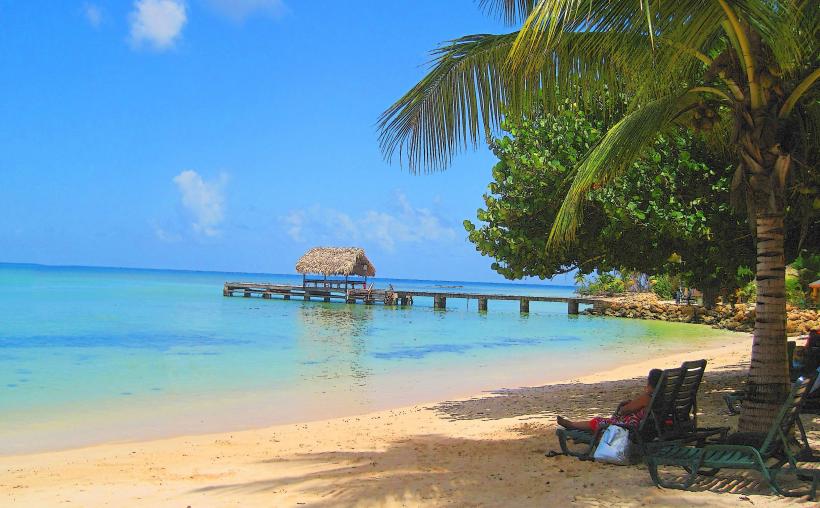
The bay's shoreline consists of fine, light-brown sand. The water clarity is generally high, with a turquoise hue in shallower areas transitioning to a deeper blue further offshore. Offshore, submerged coral formations are visible. The surrounding land is covered in dense tropical vegetation, primarily palm trees and low-lying shrubs.
Location & Access Logistics
Batteaux Bay is situated on the northwestern coast of Tobago. It is approximately 15 kilometers west of the capital, Scarborough. Access is via the Claude Noel Highway, turning onto Shirvan Road, and then following the smaller, unpaved Batteaux Bay Road for approximately 2 kilometers. This final section is suitable for 4x4 vehicles, especially during the wet season. Limited parking is available at the end of the road. Public transport does not directly service the bay; the nearest bus stop is on Shirvan Road, requiring a walk of approximately 3 kilometers.
Historical & Ecological Origin
Batteaux Bay is a natural geological formation, a coastal embayment formed by erosion and sedimentation processes over millennia. The offshore coral reefs are a result of the accumulation of calcium carbonate secreted by marine invertebrates, forming a complex ecosystem.
Key Highlights & Activities
Snorkeling is possible over the offshore coral reefs, particularly during calm sea conditions. Kayaking along the coastline is an available activity. The beach itself is suitable for sunbathing and observation of marine life. No organized tours operate directly from the bay.
Infrastructure & Amenities
There are no permanent structures or amenities within Batteaux Bay. Restrooms, shade, and food vendors are not present. Cell phone signal (4G/5G) is intermittent and unreliable within the bay itself.
Best Time to Visit
The best time for clear water visibility for snorkeling is during the dry season, from January to May. Mid-morning offers optimal lighting conditions for photography due to the angle of the sun. Calm sea conditions are most common in the early morning hours.
Facts & Legends
Local lore suggests that the bay was a favored resting spot for pirates in the 18th century due to its secluded nature. While unverified, the name "Batteaux" is thought to derive from the French word for "boats," possibly referencing the anchorage it provided.
Nearby Landmarks
- Pigeon Point Heritage Park (3.5km East)
- Buccoo Reef (4.0km Southeast)
- Fort James (5.0km Southeast)
- Crown Point International Airport (4.5km Southeast)