Information
Landmark: Bon Accord LagoonCity: Tobago
Country: Trinidad and Tobago
Continent: North America
Bon Accord Lagoon, Tobago, Trinidad and Tobago, North America
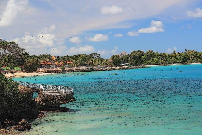
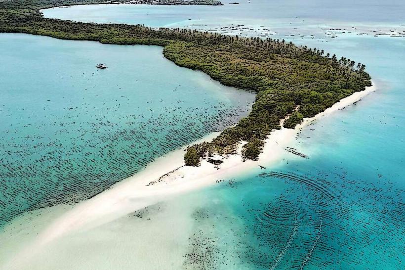
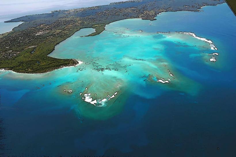
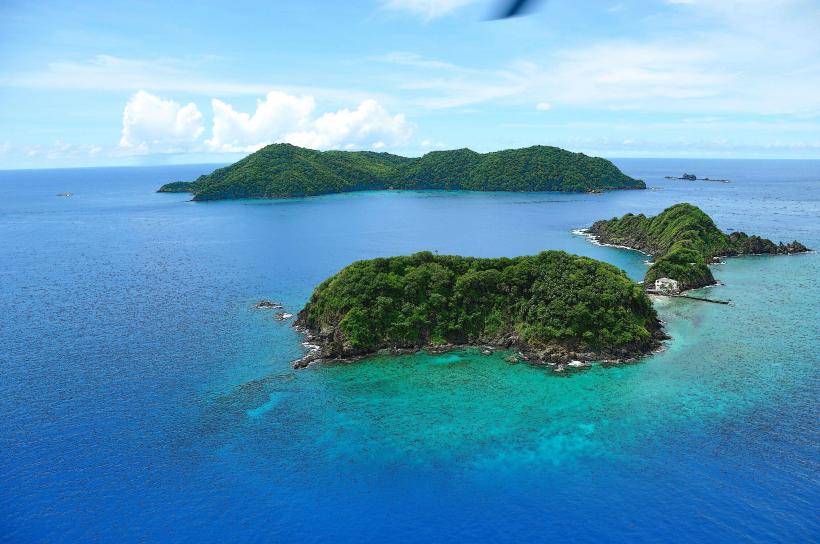
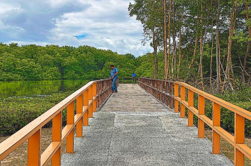
Bon Accord Lagoon is a protected marine area located on the southwestern coast of Tobago, Trinidad and Tobago.
This estuarine system comprises mangrove forests, seagrass beds, and a central lagoon, serving as a critical habitat for diverse aquatic life.
Visual Characteristics
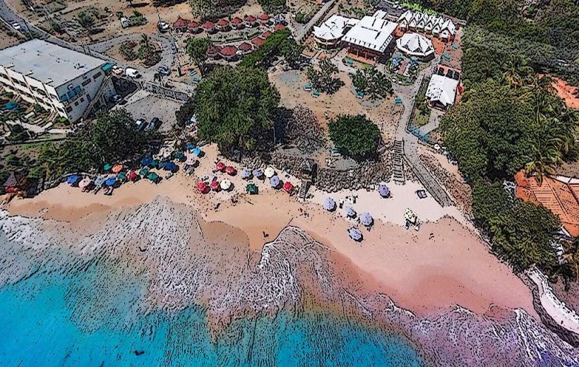
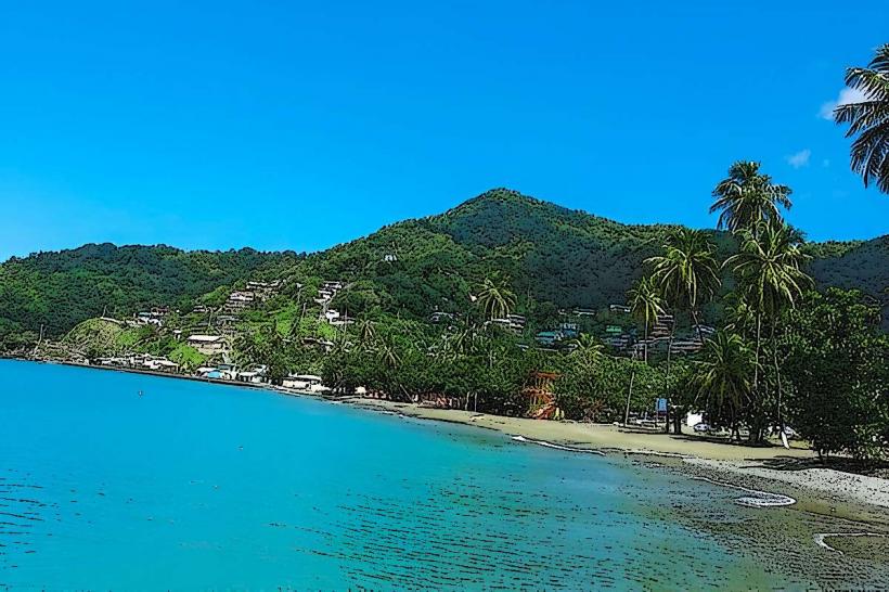
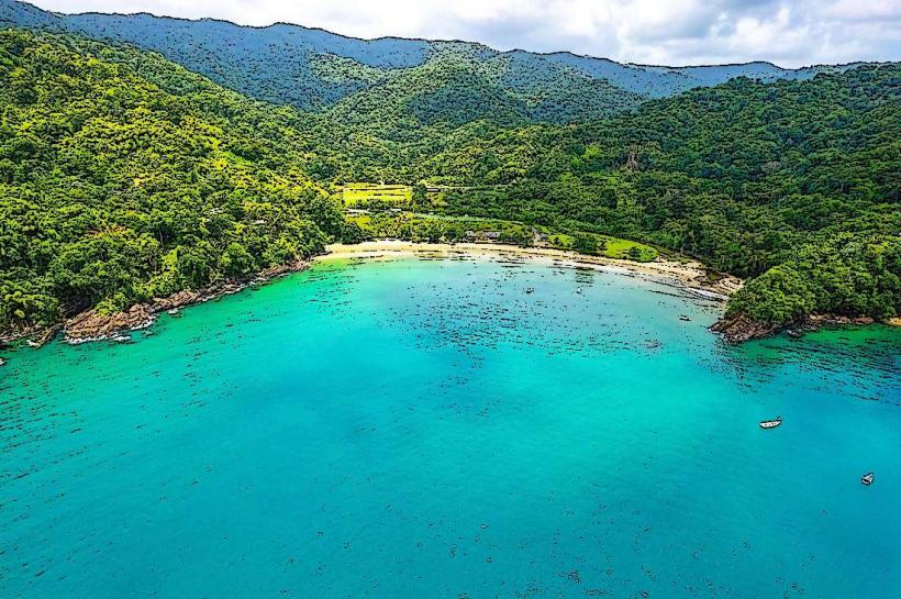
The lagoon's water color varies from brackish brown within the mangrove channels to a clearer turquoise in the open areas, influenced by tidal movements and sediment. Dense mangrove vegetation, primarily red and black mangroves, lines the perimeter. The lagoon floor consists of silty sand and mud. Seagrass beds are present in shallower sections.
Location & Access Logistics
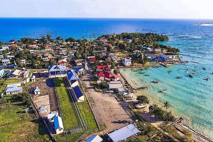
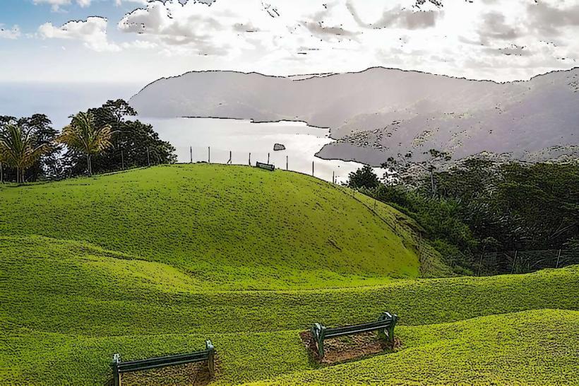
Bon Accord Lagoon is situated approximately 10 kilometers southwest of Scarborough, the capital of Tobago. Access is primarily via the Claude Noel Highway, turning onto Milford Road towards Crown Point. From Milford Road, local access roads lead to designated entry points, such as the Pigeon Point Heritage Park area. Parking is available at Pigeon Point Heritage Park (fee applies). Public transport options include route buses traveling towards Crown Point; disembark and walk or take a short taxi ride to the lagoon access points.
Historical & Ecological Origin
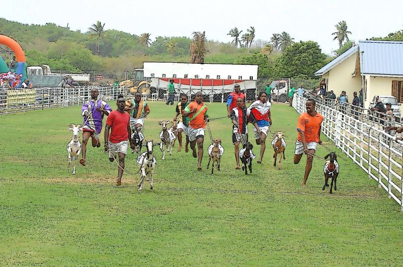
The lagoon is a natural estuarine system formed by the deposition of sediment and the growth of mangrove forests over millennia. It is classified as a coastal wetland ecosystem. Historically, the area has been utilized by local communities for fishing and resource gathering.
Key Highlights & Activities
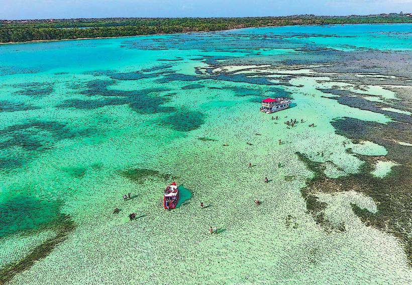
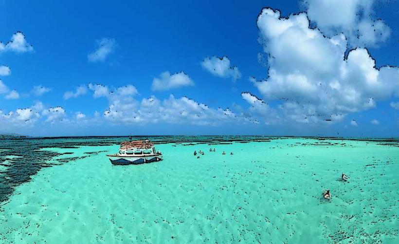
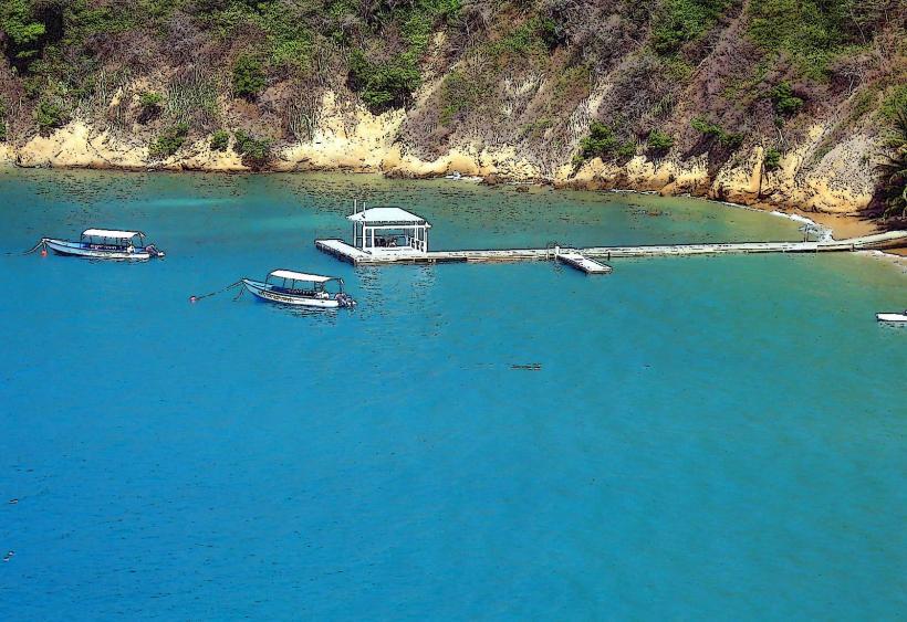
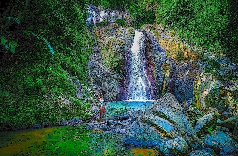
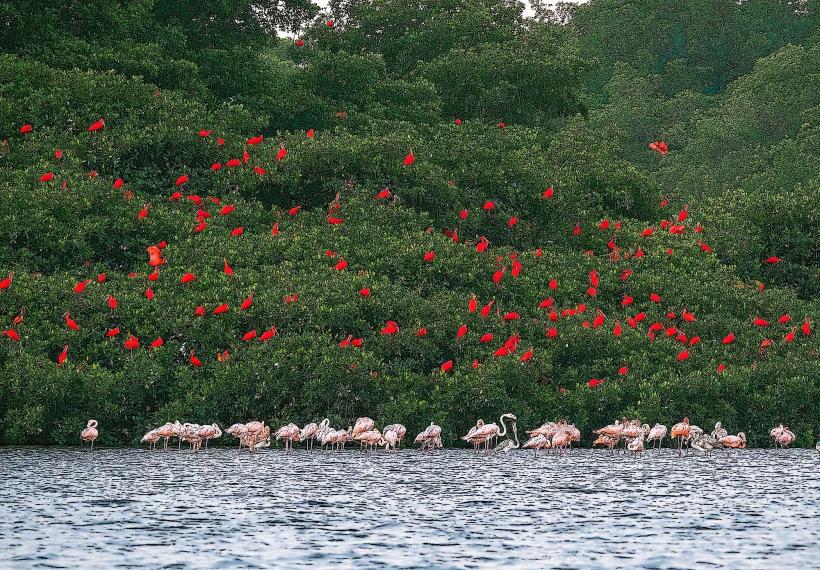
Boat tours are available for exploring the mangrove channels and observing wildlife. Snorkeling is possible in designated clear water areas, particularly near the mouth of the lagoon. Kayaking offers an alternative method for navigating the smaller channels. Birdwatching is a significant activity due to the variety of resident and migratory species.
Infrastructure & Amenities
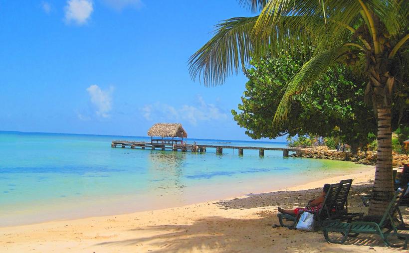
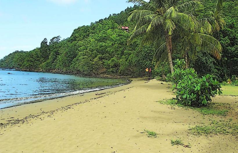
Restrooms and changing facilities are available at Pigeon Point Heritage Park. Shade is limited within the lagoon itself, but boat tours often provide covered vessels. Cell phone signal (4G/5G) is generally available in the vicinity of the access points and Pigeon Point. Food vendors and restaurants are located at Pigeon Point Heritage Park and nearby Crown Point.
Best Time to Visit
The best time of day for wildlife observation is typically early morning or late afternoon when animals are most active. For clearer water conditions suitable for snorkeling, visiting during the dry season (January to May) is recommended. Tidal charts should be consulted, as low tide can expose some areas and affect boat access in narrower channels.
Facts & Legends
A local legend suggests that the lagoon is inhabited by a water spirit or mermaid, though this is unsubstantiated. Scientifically, the lagoon is a vital nursery ground for many fish species, including snapper and grouper, supporting local fisheries.
Nearby Landmarks
- Pigeon Point Heritage Park (0.2km West)
- Crown Point (1.5km Southwest)
- Buccoo Reef (2.0km Southeast)
- Fort King George (12.0km Northeast)
- Scarborough Botanical Gardens (11.5km Northeast)