Information
Landmark: RoxboroughCity: Tobago
Country: Trinidad and Tobago
Continent: North America
Roxborough, Tobago, Trinidad and Tobago, North America
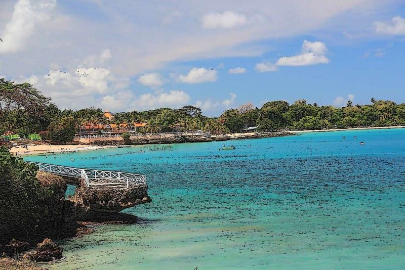
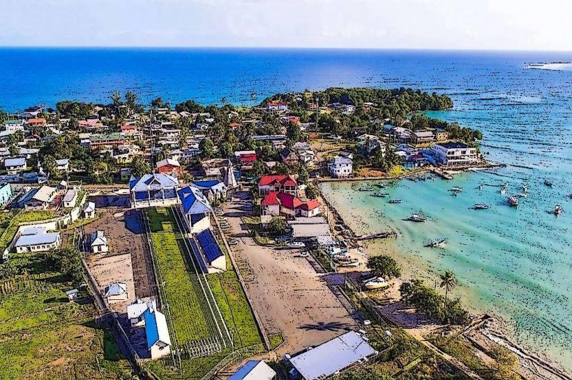
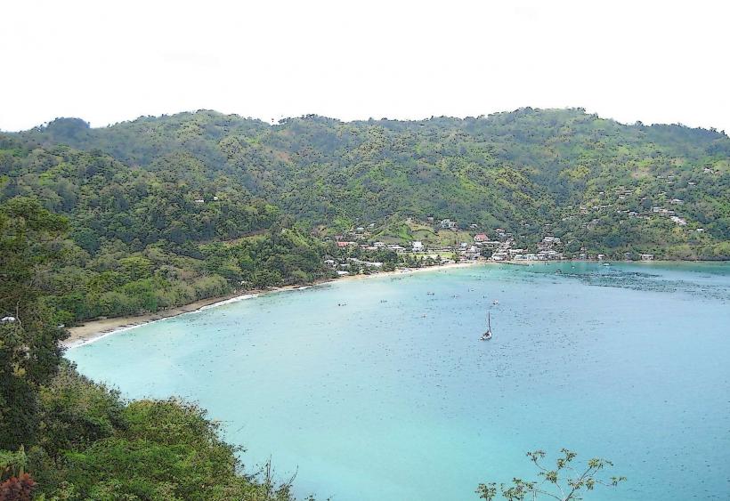
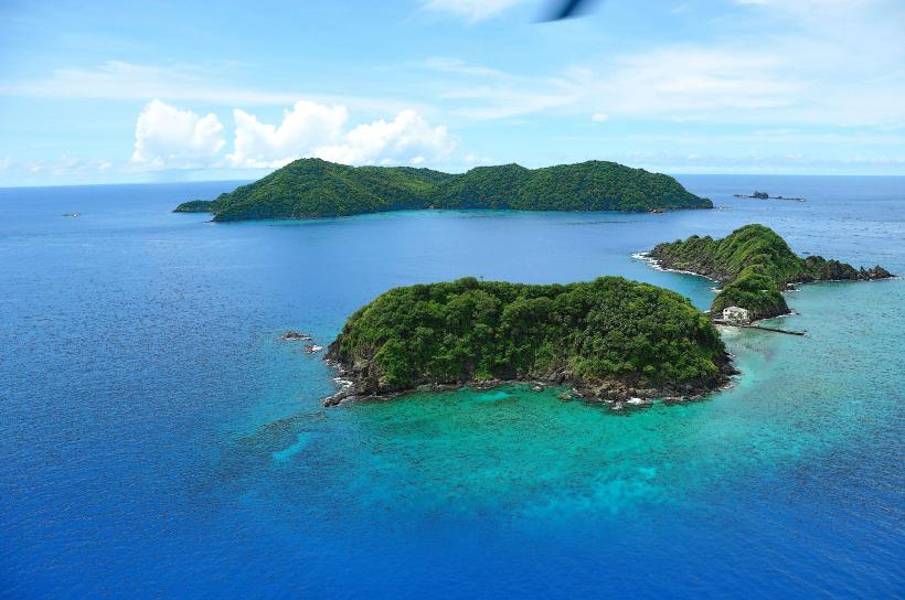
Roxborough is a coastal village located on the island of Tobago, within the nation of Trinidad and Tobago.
This settlement serves as a primary administrative and commercial hub for the eastern part of Tobago.
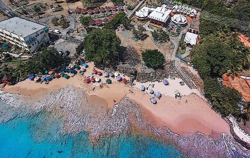
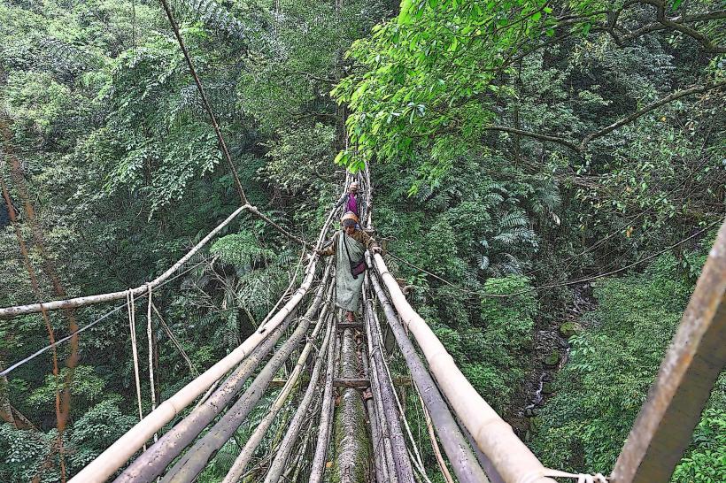
Visual Characteristics
Roxborough is characterized by low-lying structures, predominantly constructed from concrete and corrugated metal roofing. The village follows the coastline, with residential and commercial buildings situated close to the main road. Vegetation is moderately dense, with palm trees and tropical foliage common along the periphery and in undeveloped areas.
Location & Access Logistics
Roxborough is situated approximately 25 kilometers east of Scarborough, the capital of Tobago. Access is primarily via the Claude Noel Highway, which transitions into the Windward Road. The journey from Scarborough typically takes 30-40 minutes by car. Public transportation is available via the Eastern Main Road bus route, with services running regularly throughout the day. Parking is generally available along the main road and in designated areas near the market and administrative buildings.
Historical & Ecological Origin
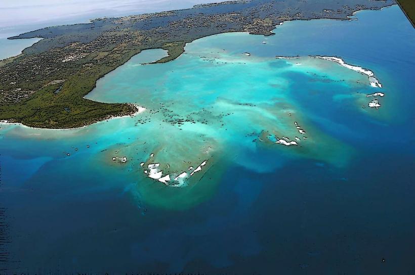
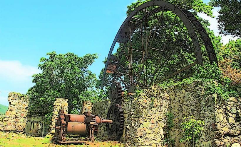
Roxborough originated as a small fishing community. Its development accelerated in the 20th century with the establishment of administrative functions and agricultural processing, particularly cocoa and copra. The area is situated on coastal plains with underlying sedimentary rock formations typical of the Caribbean region.
Key Highlights & Activities
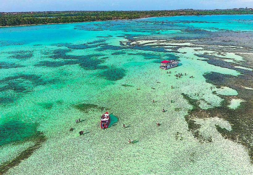
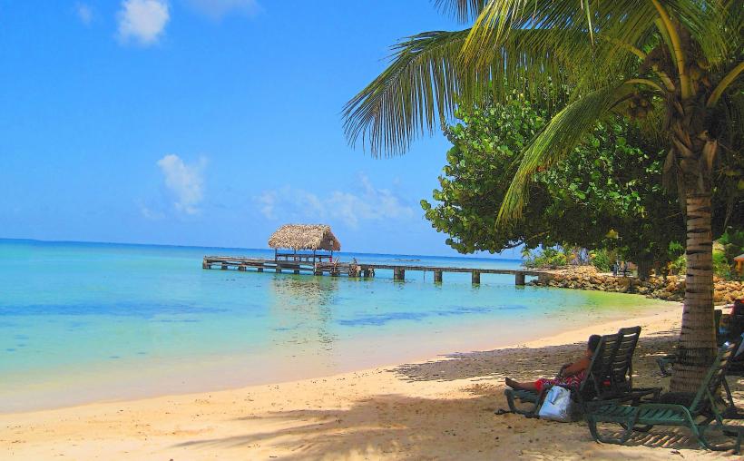
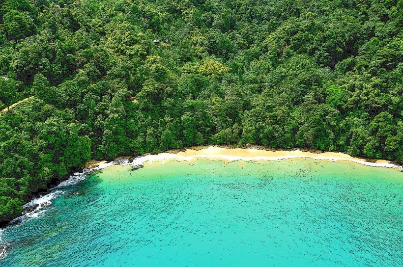
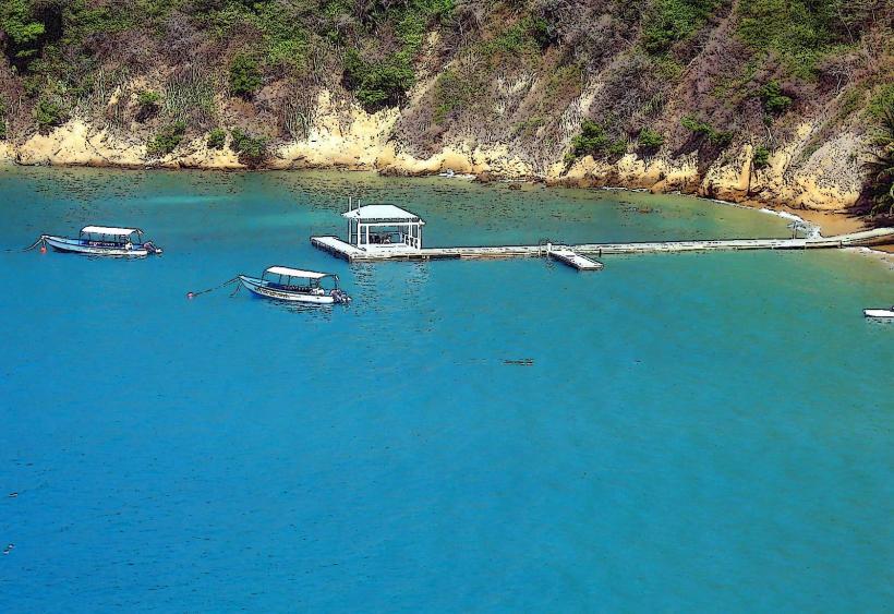
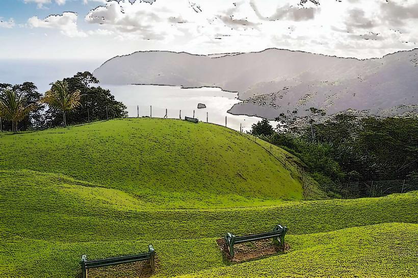
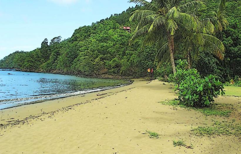
Visitors can observe local fishing activities at the small harbor. The Roxborough Market offers local produce and crafts. Hiking trails are accessible in the surrounding hills, providing views of the coastline. Swimming is possible at nearby beaches, though specific designated swimming areas are not marked.
Infrastructure & Amenities
Restrooms are available at the market and in some commercial establishments. Shade is provided by trees and building overhangs. Cell phone signal (4G) is generally consistent within the village center. Food vendors and small shops are present along the main road, offering local snacks and beverages.
Best Time to Visit
The best time of day for photography is generally late morning or early afternoon when sunlight is direct. The driest months are typically from January to May, offering more consistent weather for outdoor activities. Tidal conditions do not significantly impact access to the village itself.
Facts & Legends
A notable historical aspect is the presence of former cocoa estates in the vicinity, remnants of Tobago's past as a significant cocoa producer. Local folklore sometimes references the spirits of plantation workers in the surrounding forested areas.
Nearby Landmarks
- Fort King George (18km West)
- Pigeon Point Heritage Park (28km West)
- Main Ridge Forest Reserve (5km North)
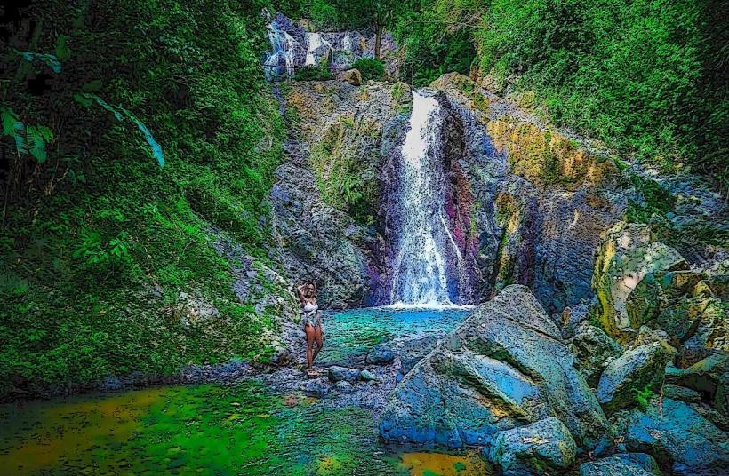
- Argyle Waterfall (7km North-East)
- Speyside (15km North-East)