Information
Landmark: Flagstaff HillCity: Tobago
Country: Trinidad and Tobago
Continent: North America
Flagstaff Hill, Tobago, Trinidad and Tobago, North America
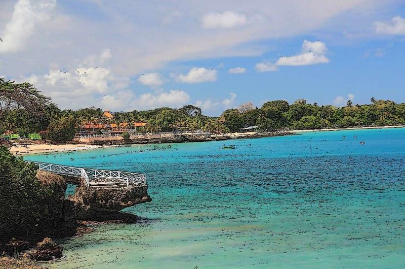
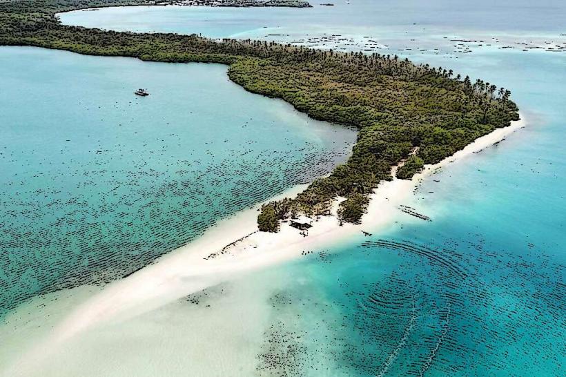
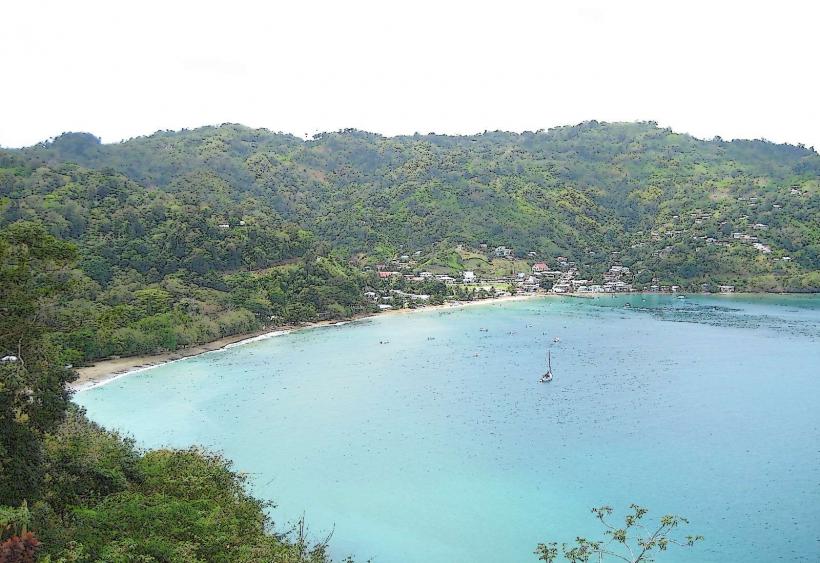
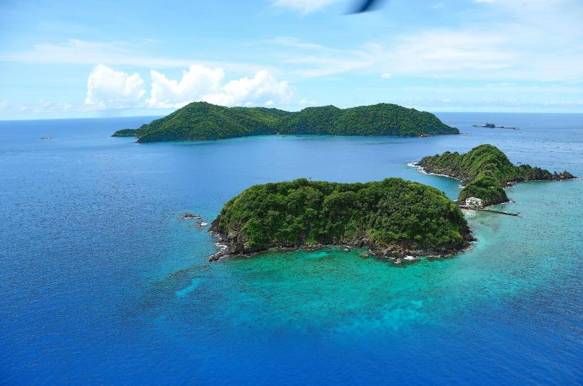
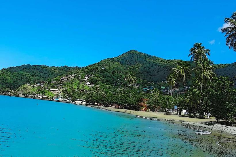
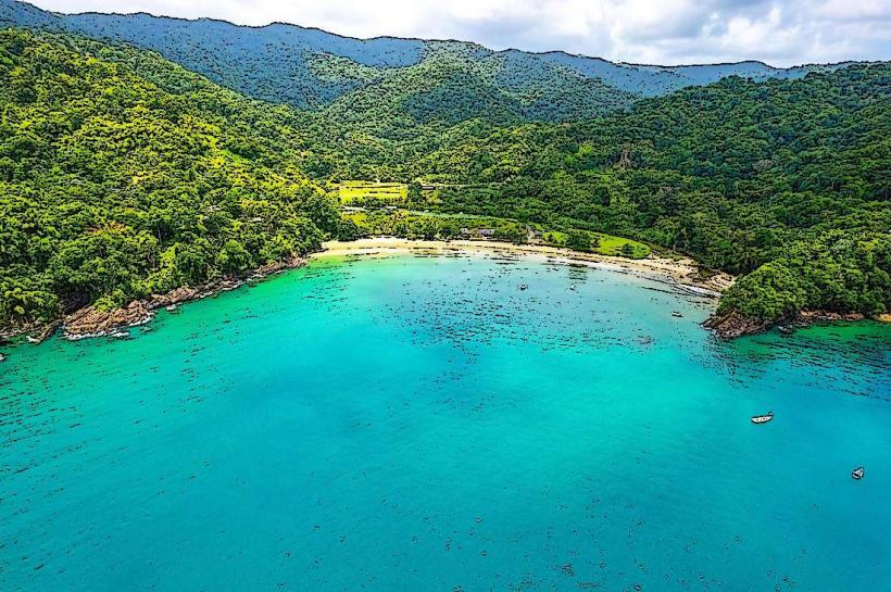
Flagstaff Hill is a prominent elevated point located in the western part of Tobago, Trinidad and Tobago. It offers a vantage point overlooking the surrounding coastal areas and interior landscape.
Visual Characteristics
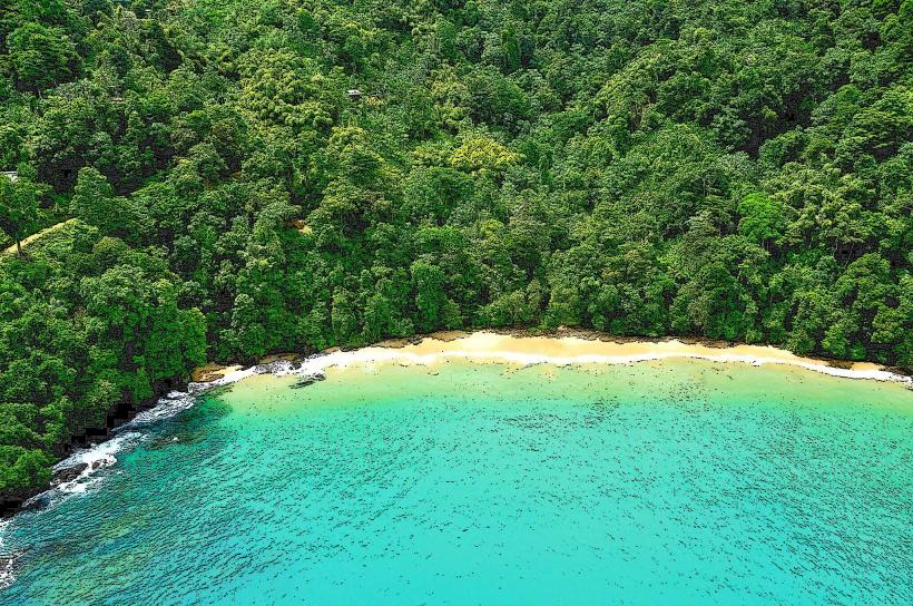
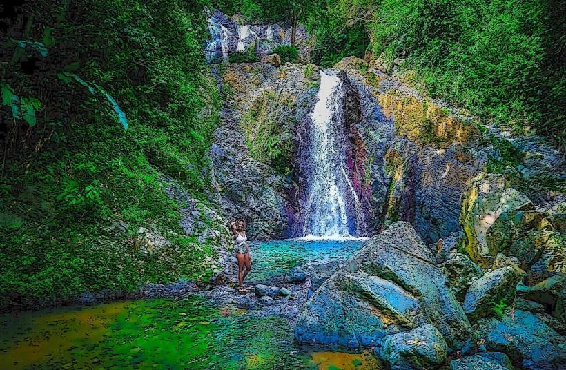
The hill is characterized by its moderate elevation, covered in dense tropical vegetation including various species of trees and shrubs. The terrain is uneven, with slopes leading to the summit. The summit itself is a relatively flat clearing.
Location & Access Logistics
Flagstaff Hill is situated approximately 3 kilometers west of the town of Plymouth. Access is via the Windward Road, turning onto a smaller, unpaved track road that leads towards the hill. The track is approximately 1.5 kilometers long and is suitable for 4x4 vehicles. Standard vehicles may struggle with the terrain, especially after rainfall. Parking is available at the base of the track, with limited space. Public transport does not directly service the hill; visitors would need to disembark in Plymouth and arrange local transport or walk the distance.
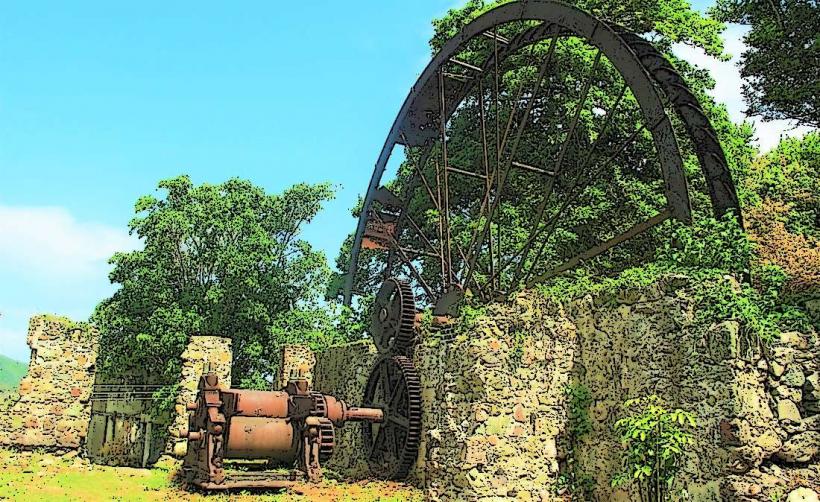
Historical & Ecological Origin
Historically, Flagstaff Hill served as a strategic lookout point, likely utilized by various colonial powers for observation and defense due to its commanding view. Ecologically, it is part of Tobago's tropical dry forest ecosystem, supporting a range of flora and fauna adapted to this environment.
Key Highlights & Activities
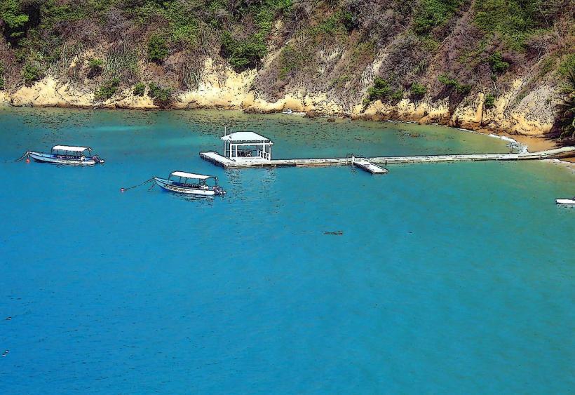
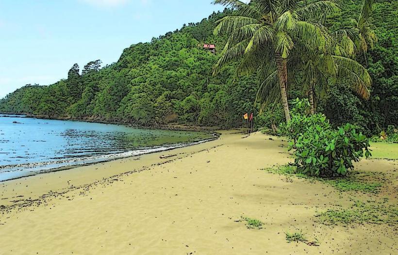
The primary activity is observation from the summit. Visitors can survey the coastline, including the waters of the Caribbean Sea, and the agricultural and residential areas inland. Hiking the track to the summit is possible. Birdwatching is also a potential activity due to the surrounding vegetation.
Infrastructure & Amenities
There are no formal infrastructure or amenities at Flagstaff Hill. Restrooms, shade structures, and food vendors are not present. Cell phone signal (4G/5G) is generally intermittent and unreliable at the summit.
Best Time to Visit
The best time of day for photography is late afternoon, approximately 1-2 hours before sunset, when the light is softer and casts longer shadows. The dry season, from January to May, offers the most favorable weather conditions with less rainfall. There are no tide-dependent activities.
Facts & Legends
A local anecdote suggests that during periods of unrest, a flag was indeed flown from this high point to signal to ships or other settlements. The specific historical period and the identity of those who used it remain subjects of local oral tradition.
Nearby Landmarks
- Plymouth (Town Center) - 3km East
- Fort James - 4.5km Southeast
- Grange Bay - 2.5km South
- Courland Bay - 3.5km Southwest