Information
Landmark: Bloody Bay BeachCity: Tobago
Country: Trinidad and Tobago
Continent: North America
Bloody Bay Beach, Tobago, Trinidad and Tobago, North America
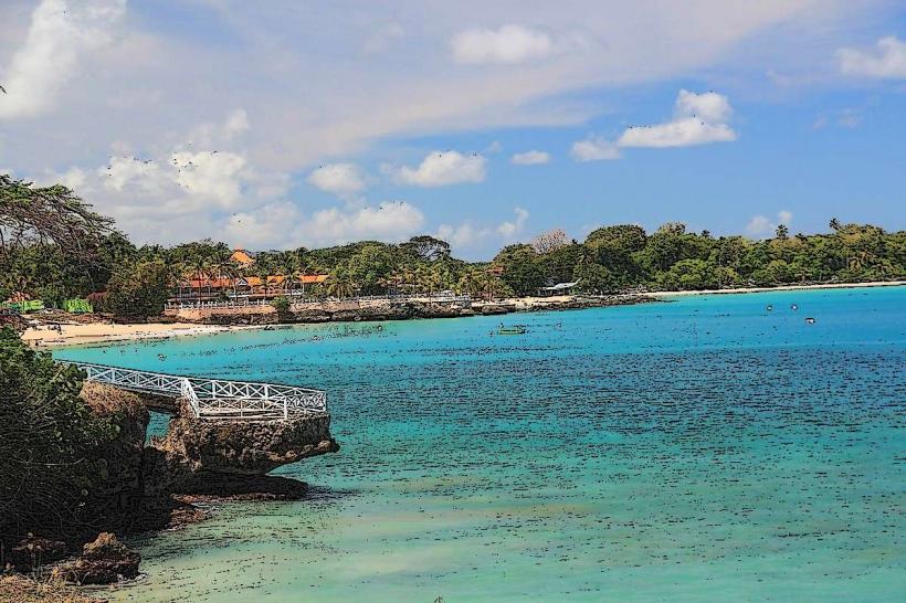
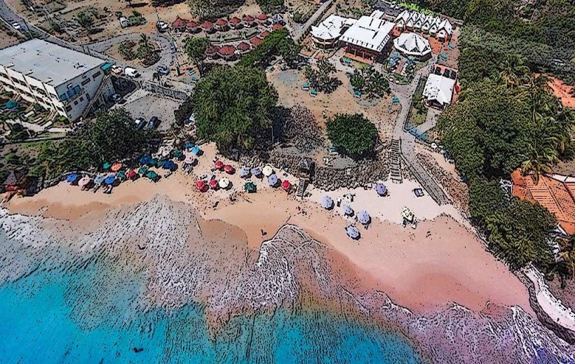
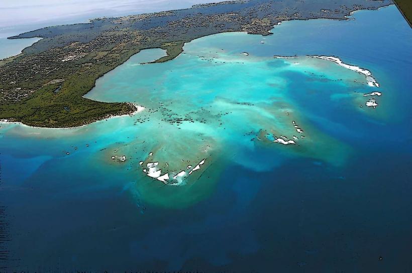
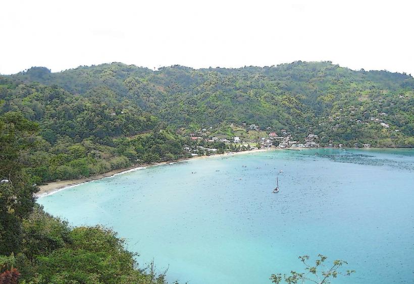
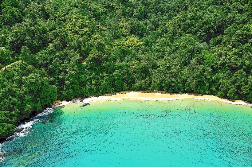
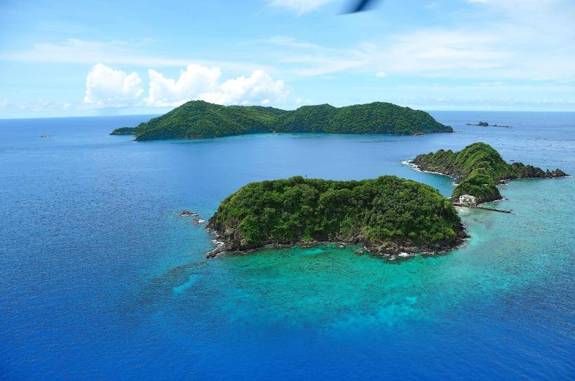
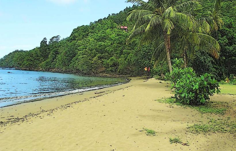
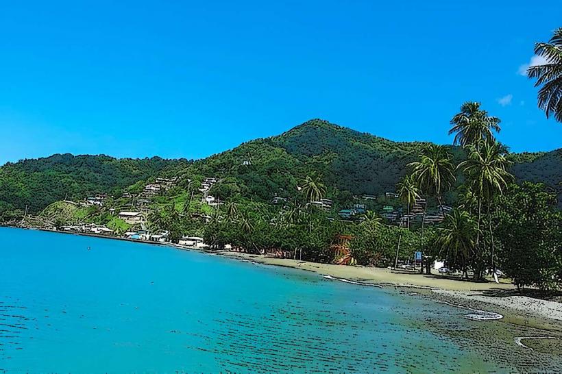
Bloody Bay Beach is a coastal area situated on the northern coast of Tobago, Trinidad and Tobago.
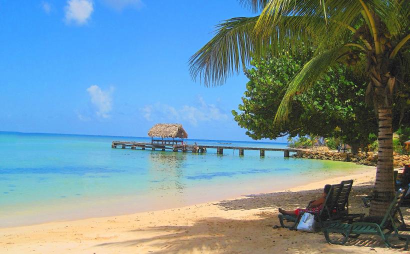
This location is characterized by its crescent shape and the presence of fine, pale sand.
Visual Characteristics
The beach features light beige sand with a fine grain. The water exhibits a clear, turquoise hue, transitioning to deeper blue further offshore. Coconut palms line the landward side of the beach, providing shade. The bay is approximately 1 kilometer in length.
Location & Access Logistics
Bloody Bay Beach is located 35 kilometers northeast of Scarborough, the capital of Tobago. Access is via the Northside Road (also known as Windward Road). From Scarborough, proceed east on Shirvan Road, then turn north onto the Northside Road. The drive takes approximately 45 minutes. Parking is available along the roadside adjacent to the beach. Public transport options are limited; local maxi-taxis operate on the Northside Road, but schedules can be infrequent.
Historical & Ecological Origin
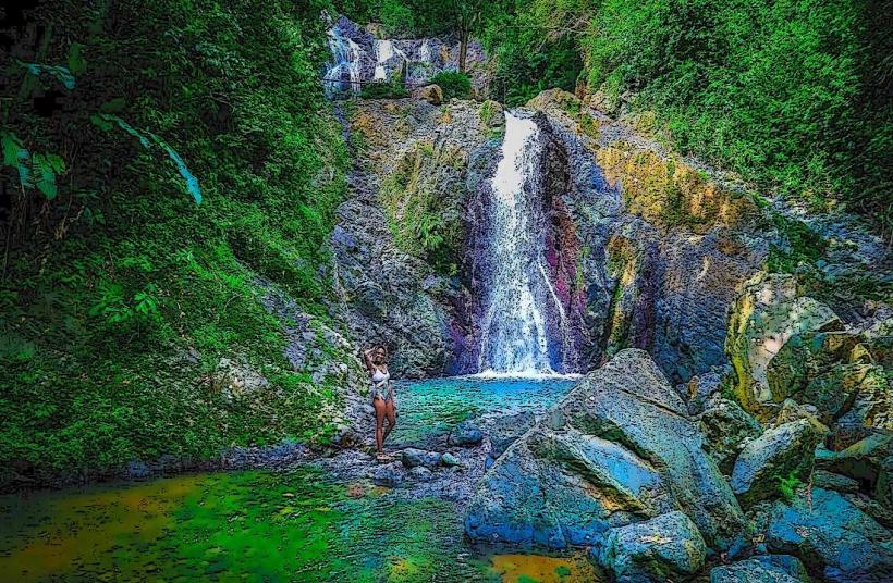
Bloody Bay is a natural formation, a sheltered cove shaped by coastal erosion and sedimentation processes over millennia. The surrounding vegetation is tropical dry forest, typical of the region.
Key Highlights & Activities
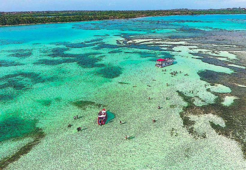
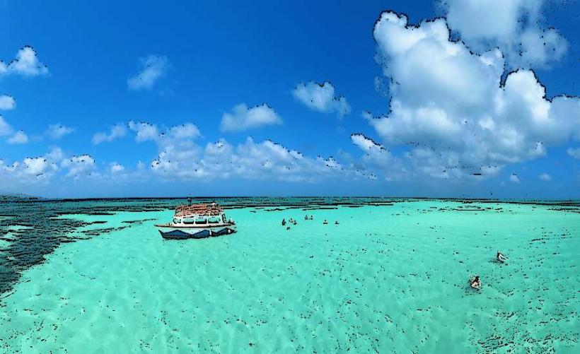
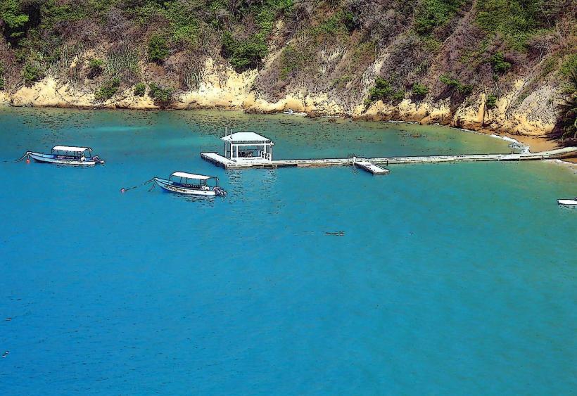
Swimming is possible in the calm waters of the bay. Snorkeling can be undertaken directly from the shore, particularly in the areas with visible coral formations. Sunbathing on the sand is a primary activity. No organized tours or rentals are typically available directly on the beach.
Infrastructure & Amenities
Restrooms are not consistently maintained or available. Shade is provided by natural tree cover. Cell phone signal (4G/5G) is generally weak to non-existent. No food vendors are permanently stationed at Bloody Bay Beach; visitors should bring provisions.
Best Time to Visit
The best time for photography is generally between 10:00 AM and 2:00 PM when sunlight is most direct. The dry season, from January to May, offers the most favorable weather conditions with minimal rainfall. Tidal variations have little impact on beach access or swimming conditions.
Facts & Legends
Local lore suggests the bay's name originates from a historical conflict between indigenous tribes or early settlers, though verifiable documentation is scarce. A practical tip for visitors is to be aware of the limited facilities and plan accordingly for food and water.
Nearby Landmarks
- Pigeon Point Heritage Park (28km Southwest)
- Fort King George (30km Southwest)
- Buccoo Reef (32km Southwest)
- Scarborough Botanical Garden (34km Southwest)