Information
Landmark: BichanakandiCity: Sylhet
Country: Bangladesh
Continent: Asia
Bichanakandi, Sylhet, Bangladesh, Asia
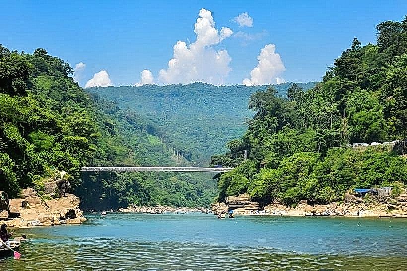
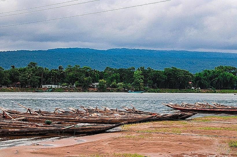
Bichanakandi is a stone-covered riverbed located in the Sylhet district of Bangladesh, near the Indian border.
Visual Characteristics
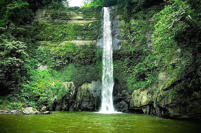
The area is characterized by a wide expanse of smooth, grey river stones of varying sizes, interspersed with clear, shallow water channels. The riverbed is bordered by low, green hills. During the monsoon season, the water level rises, obscuring much of the stone bed.
Location & Access Logistics
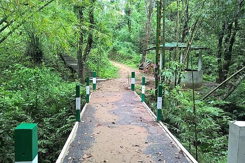
Bichanakandi is situated approximately 35 kilometers north of Sylhet city. Access is primarily via local roads. From Sylhet, take the Sylhet-Tamabil highway (National Highway 10) and turn off towards Bichanakandi. The final stretch is a dirt road. Parking is available at designated points near the riverbed. Local boats (engine-powered) are available for hire to navigate the river and reach specific stone collection areas.
Historical & Ecological Origin
The stone deposits at Bichanakandi are a result of natural erosion and sediment transport from the Meghalaya hills in India. The river system carries these stones downstream, creating the unique landscape. This area is an active quarry for stone extraction, a practice that has shaped its current appearance.
Key Highlights & Activities
Visitors can walk across the stone-covered riverbed. Boat rides on the river are available. Observing local stone collectors at work is a common activity. Swimming is possible in designated shallow areas during the dry season.
Infrastructure & Amenities
Basic amenities are limited. Small, temporary food stalls operated by locals are often present near the river access points. Restrooms are generally not available. Cell phone signal (4G) is intermittent.
Best Time to Visit
The dry season, from November to March, offers the best conditions for exploring the stone bed. During this period, the water is low, and the stones are fully exposed. The best time of day for photography is late afternoon, when the sunlight creates softer shadows on the stones.
Facts & Legends
Local lore suggests that the sheer volume of stones is a result of ancient geological shifts. A practical tip for visitors is to wear sturdy, closed-toe footwear to protect feet from sharp edges of the stones.
Nearby Landmarks
- Jaflong (10km Northeast)
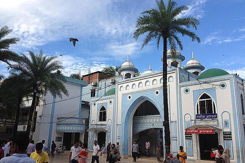
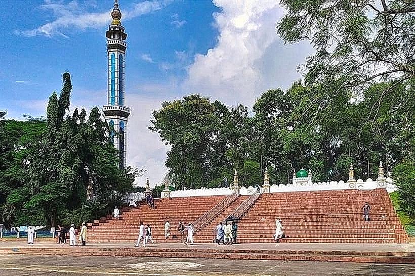
- Shrine of Hazrat Shah Jalal (35km Southwest)
- Tamabil Land Port (15km Northeast)
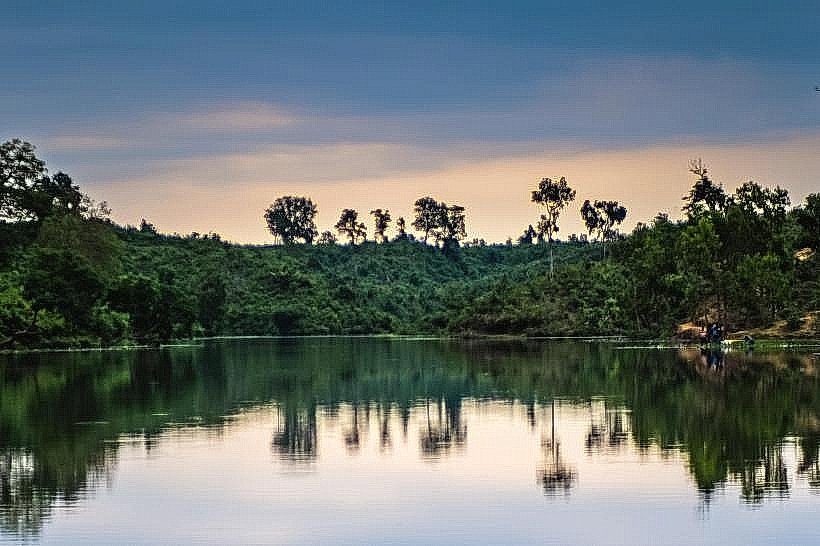
- Madhabpur Lake (20km Northeast)