Information
Landmark: Madhabkunda WaterfallCity: Sylhet
Country: Bangladesh
Continent: Asia
Madhabkunda Waterfall, Sylhet, Bangladesh, Asia
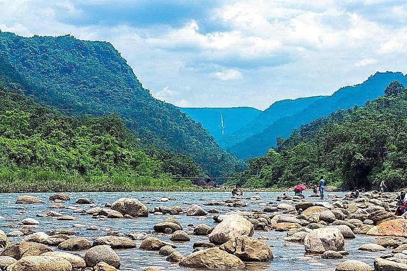
Madhabkunda Waterfall is a significant natural cascade located in the Barlekha Upazila of Moulvibazar District, Sylhet Division, Bangladesh. It is one of the largest waterfalls in Bangladesh by volume.
Visual Characteristics
The waterfall descends from a height of approximately 200 feet (61 meters) over a series of rock formations. The water is typically clear, with a white foam at the point of impact. The surrounding area is characterized by dense tropical vegetation, including various tree species and undergrowth. The rock face is primarily composed of sedimentary rock.
Location & Access Logistics
Madhabkunda Waterfall is situated approximately 90 kilometers (56 miles) east of Sylhet city. Access is via the Sylhet-Companiganj-Bholaganj Road, then turning onto local roads towards Barlekha. From Barlekha town, it is an additional 10 kilometers (6.2 miles) to the waterfall site. Parking is available at designated areas near the waterfall entrance. Public transport options include local buses from Sylhet to Barlekha, followed by auto-rickshaws or local jeeps to the waterfall.
Historical & Ecological Origin
The waterfall is a natural geological formation, carved over millennia by the flow of water from the surrounding hills. The area is part of the northeastern hilly region of Bangladesh, characterized by its tropical monsoon climate and rich biodiversity. The specific geological strata are primarily sandstone and shale.
Key Highlights & Activities
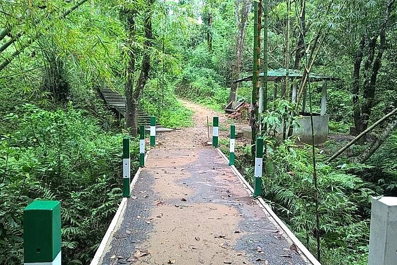
Observation decks provide views of the main cascade. Visitors can walk down to the base of the waterfall, though caution is advised due to slippery surfaces. Trekking trails are present in the surrounding forest area. Photography is a common activity. Boat rides are sometimes available on the stream below the falls during the monsoon season.
Infrastructure & Amenities
Restrooms are available at the main entrance area. Limited shaded seating is provided. Cell phone signal (2G/3G) is generally available, though it can be intermittent. Small food stalls and vendors selling local snacks and beverages are located near the parking area.
Best Time to Visit
The best time for photography is during the late afternoon, approximately 3 PM to 5 PM, when the sunlight angle can create favorable lighting conditions. The monsoon season, from June to September, offers the highest water flow. The dry season, from October to March, provides easier access and clearer views, though the water volume is reduced.
Facts & Legends
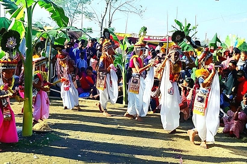
Local folklore suggests that the waterfall's name originates from a sage named Madhab, who meditated in the area. A specific tip for visitors is to wear sturdy, non-slip footwear, especially if planning to descend to the base of the falls, as the rocks are consistently wet and can be hazardous.
Nearby Landmarks
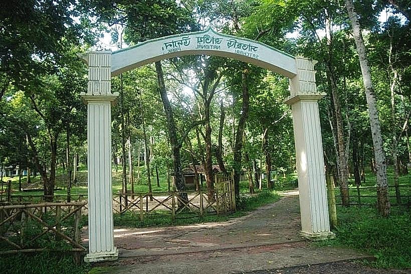
- Lawachara National Park (35km Southwest)
- Tamabil Border Crossing (50km West)
- Jaflong (55km Northwest)
- Srimangal (60km Southwest)