Information
Landmark: JaflongCity: Sylhet
Country: Bangladesh
Continent: Asia
Jaflong, Sylhet, Bangladesh, Asia
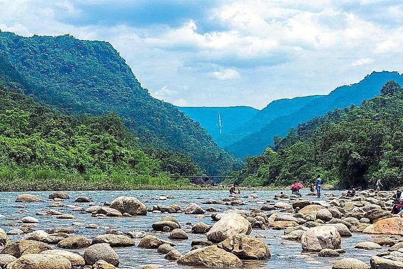
Jaflong is a popular tourist destination located in the Gowainghat Upazila of Sylhet District, Bangladesh. It is known for its stone collection and natural beauty.
Visual Characteristics
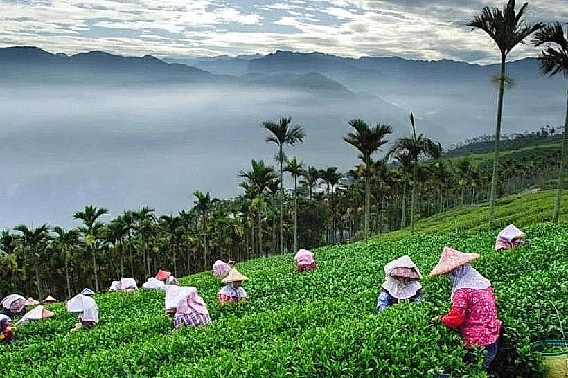
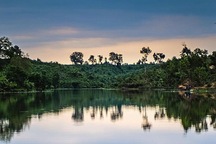
The area is characterized by a wide expanse of riverbeds filled with stones of various sizes and colors, primarily grey and brown. The Dauki River flows through Jaflong, its water appearing clear to milky depending on recent rainfall and sediment load. The surrounding landscape features low hills covered in dense vegetation, including tea gardens and tropical forests. The sky is often visible over the broad river plains.
Location & Access Logistics
Jaflong is situated approximately 60 kilometers north of Sylhet city center. Access is primarily via the Sylhet-Tamabil Highway (Road 16). The journey from Sylhet city typically takes 1.5 to 2 hours by car or bus. Public buses operate regularly from Sylhet's Surma Valley Bus Terminal to Gowainghat, from where local transport (e.g., CNG auto-rickshaws) can be hired to reach Jaflong. Parking is available in designated areas near the main tourist access points, though it can become congested during peak seasons.
Historical & Ecological Origin
Jaflong's geological significance stems from its location at the foothills of the Meghalaya Plateau in India. The Dauki River, originating in the hills, carries a substantial amount of stone and sediment downstream, creating the extensive stone fields. This process is a continuous geological phenomenon. The area is part of a larger ecosystem characterized by subtropical highland forests and riverine environments.
Key Highlights & Activities
Visitors can observe the large-scale stone collection and transportation operations. Walking along the riverbeds to examine the stones is a primary activity. Boat rides on the Dauki River are available, offering views of the surrounding hills and the stone extraction sites. Some visitors engage in collecting smaller stones as souvenirs. The nearby Hanging Bridge provides a vantage point over the river.
Infrastructure & Amenities
Basic amenities are present, including several small food stalls and tea shops selling local snacks and beverages. Restrooms are available but may be rudimentary. Shade is limited, primarily provided by natural vegetation and temporary structures. Cell phone signal (4G) is generally available in the main tourist areas.
Best Time to Visit
The dry season, from November to March, offers the most pleasant weather with less rainfall and clearer river conditions. The best time of day for photography is generally late morning or early afternoon when the sunlight illuminates the stones and river. Visiting during weekdays can reduce crowds compared to weekends and public holidays.
Facts & Legends
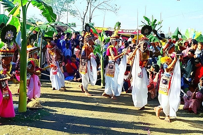
A notable feature of Jaflong is the presence of the Khasia and Garo indigenous communities, whose traditional livelihoods are often linked to the stone collection and agriculture in the region. A local legend suggests that the large stones found in Jaflong are remnants of ancient battles fought in the hills.
Nearby Landmarks
- Tamabil Land Port (1.5km Northeast)
- Sripur (2.0km West)
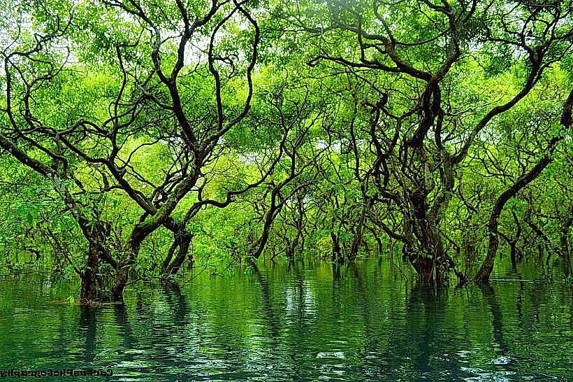
- Ratargul Swamp Forest (15.0km Southwest)
- Bholaganj (10.0km Northwest)