Information
Landmark: Bigova BayCity: Tivat
Country: Montenegro
Continent: Europe
Bigova Bay, Tivat, Montenegro, Europe
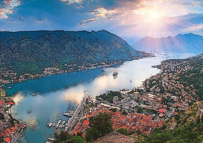
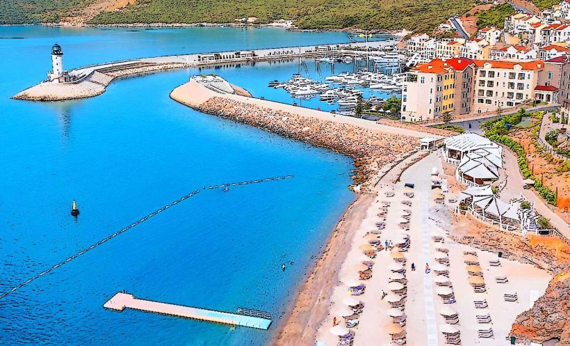
Bigova Bay is a sheltered inlet on the open Adriatic coast, located within the Grbalj valley. Although geographically positioned between the cities of Tivat and Budva, it administratively belongs to the Kotor Municipality. It is characterized by its status as a traditional fishing village and its exceptionally clear water.
Visual Characteristics
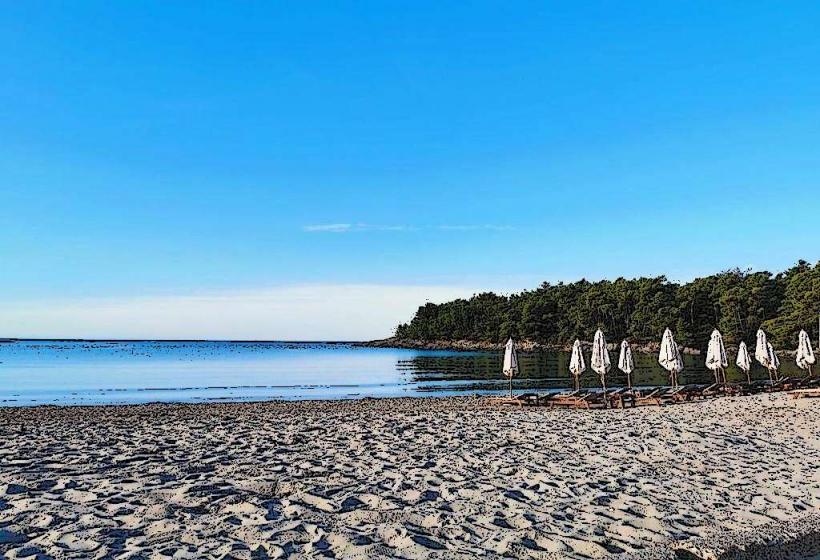
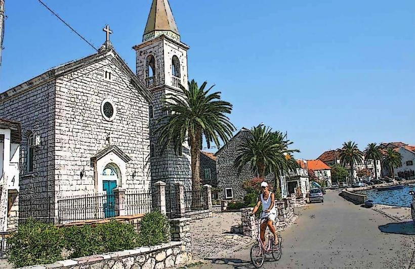
The bay is a deep, narrow inlet flanked by low-lying hills covered in Mediterranean vegetation, including laurel, pine, and olive trees. The shoreline is predominantly rocky with small concrete swimming plateaus (pontas) and a small pebble beach at the head of the bay. The architecture consists of traditional stone houses clustered around the harbor, giving it a preserved, functional maritime appearance.
Location & Access Logistics
Bigova is situated 13km from Tivat International Airport and approximately 15km from the Kotor Old Town. Access is via a narrow, winding road that descends from the main Adriatic Highway (Jadranska magistrala). There is no public bus service directly to the village; access is limited to private vehicles or taxis. A small stone jetty and several mooring buoys managed by local restaurants provide berthing for small yachts and fishing boats.
Historical & Ecological Origin
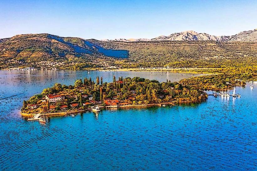
The bay served historically as a sheltered harbor for Greek and Roman ships, and later for pirates seeking refuge from storms. It is the purported site of the ancient city of Grispolis, which sank or was destroyed in antiquity, though its exact ruins remain underwater. The area is ecologically significant for its unpolluted seawater, which benefits from the lack of large-scale industrial or mass-tourism infrastructure in the immediate vicinity.
Key Highlights & Activities
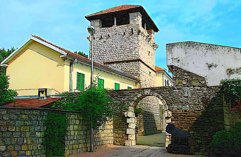
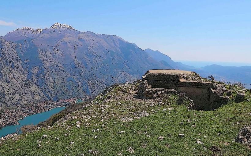
The primary activities center on nautical leisure: snorkeling, diving, and kayaking in the calm, transparent water. The village is renowned for its seafood, with the restaurant Grispolis being a major regional draw for traditional fish soup (čorba) and daily catches. Hiking trails lead from the village through the surrounding olive groves and toward the Austro-Hungarian Fort Grabovac on a nearby hilltop.
Infrastructure & Amenities
Amenities are limited to a small village shop for basic supplies and two primary restaurants (Grispolis and Pod Volat). There are no gas stations, pharmacies, or large supermarkets within the village; these are located 10–15 minutes away by car at the main road junction. 4G/5G cellular signal is available but can be intermittent in certain parts of the cove. Street parking is limited and highly congested during the summer months.
Best Time to Visit
The bay is best visited in the early morning for calm water or late afternoon to experience the west-facing sunset, which is one of the most unobstructed on the coast. The peak season is July and August, when the village becomes a busy transit point for yachts. May, June, and September offer the best balance of warm water and lower pedestrian density.
Facts & Legends
According to local lore, the entire original population of the village shared the same surname: Lazarević. A significant historical legend involves the "Sunken City of Grispolis," which locals believe can still be glimpsed beneath the waves during exceptionally calm sea conditions. The bay is also a noted spot for "therapeutic mud" found in certain shallow areas, used traditionally by locals for skin conditions.
Nearby Landmarks
Fort Grabovac – 3.0km North
Plavi Horizonti Beach – 4.5km West
Tivat International Airport – 13.0km North
Stari Bar (Old Bar) – 45.0km Southeast
Luštica Bay Resort – 7.0km Northwest (via boat)