Information
Landmark: Tivat BayCity: Tivat
Country: Montenegro
Continent: Europe
Tivat Bay, Tivat, Montenegro, Europe
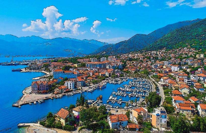
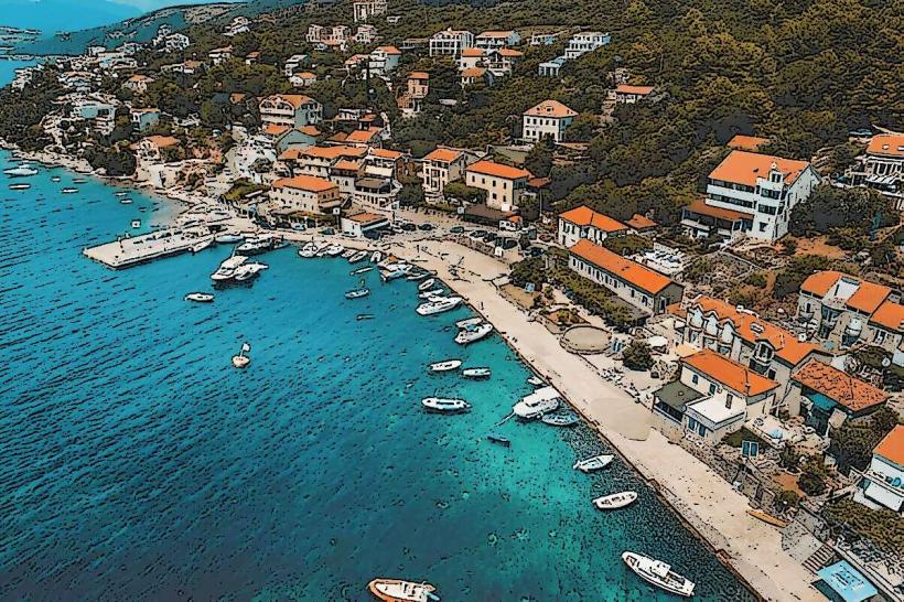
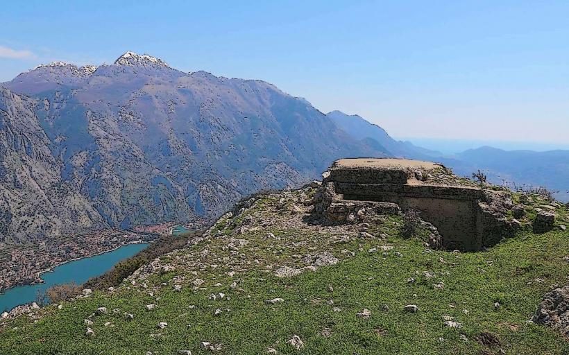
Tivat Bay is a large maritime basin and the innermost part of the Boka Kotorska (Bay of Kotor), situated in the Tivat municipality. It is geographically defined by the Luštica Peninsula to the west and the Vrmac mountain ridge to the east, serving as the primary nautical and aviation hub for the Montenegrin coast.
Visual Characteristics
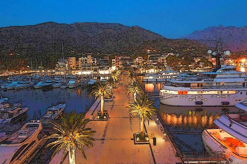
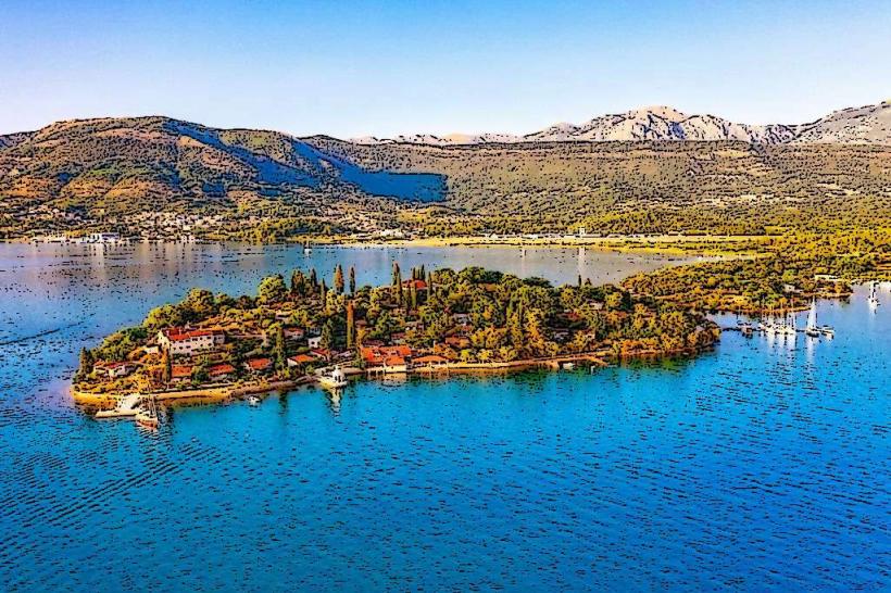
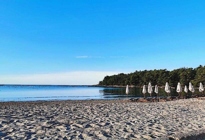
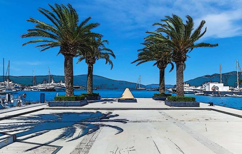
The bay features calm, deep-blue waters with a diverse shoreline consisting of luxury marinas, concrete waterfronts, and small pebble beaches. The seascape is dominated by three islands-Sveti Marko, the Island of Flowers (Miholjska Prevlaka), and Gospa od Milosti. The backdrop is characterized by the steep, green slopes of the Vrmac Ridge and the urban developments of Porto Montenegro.
Location & Access Logistics
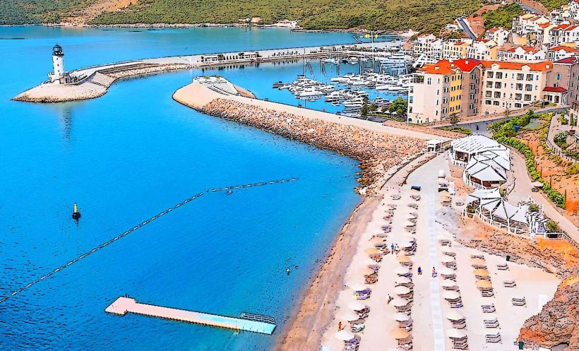
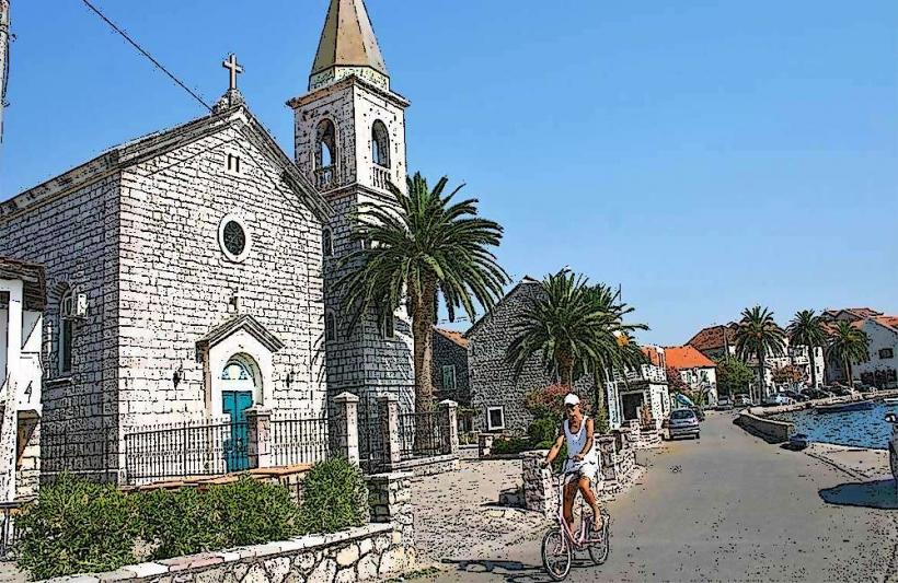
Tivat Bay is directly adjacent to Tivat city center and the Tivat International Airport (TIV). It is accessible via the E65 Adriatic Highway. Public transit includes regional buses and the Lepetane-Kamenari ferry crossing at the Verige Strait. Multiple marinas provide deep-water berths for superyachts, while public piers in Tivat and Donja Lastva serve local boat traffic.
Historical & Ecological Origin
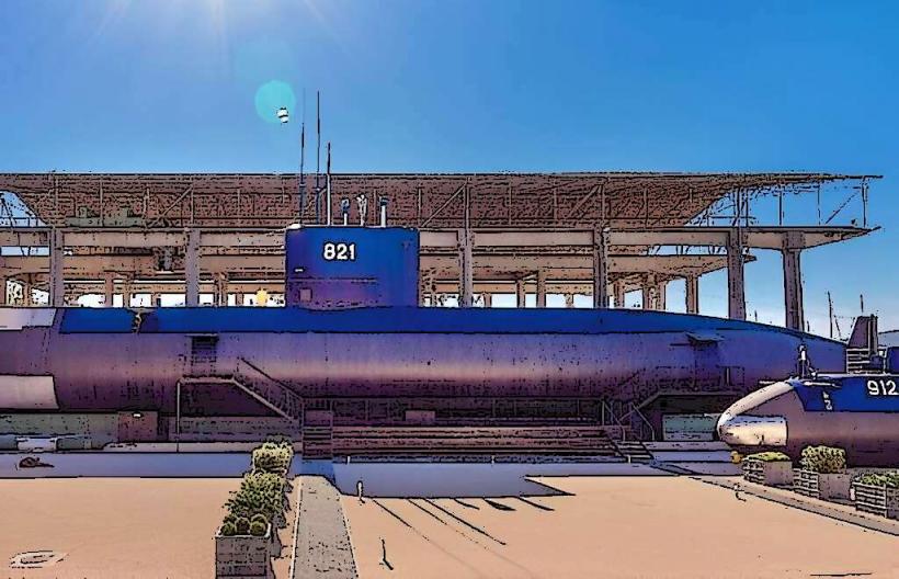
The bay is a submerged river canyon (ria) formed by tectonic activity and rising sea levels. Historically, it was a strategic naval site for the Austro-Hungarian Empire and later Yugoslavia, hosting the "Sava Kovačević" naval shipyard. The transformation into a luxury nautical destination began in 2006 with the decommissioning of the military facility and the construction of Porto Montenegro.
Key Highlights & Activities
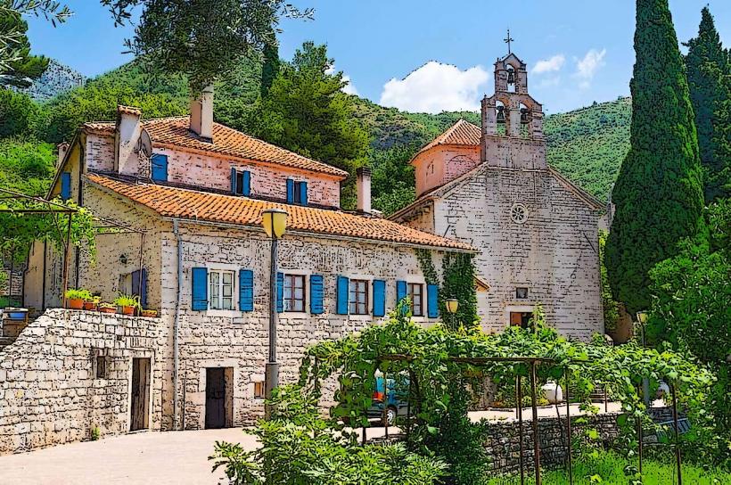
Maritime logistics center on superyacht docking and maintenance. Recreational activities include sailing, paddleboarding, and coastal cycling along the Tivat-Seljanovo Promenade. The Naval Heritage Collection museum features two restored Yugoslav submarines. Daily boat excursions depart for the Blue Grotto and the Our Lady of the Rocks island.
Infrastructure & Amenities
The bay is home to Porto Montenegro, a world-class marina village with high-end retail, international dining, and luxury lodging. Public amenities include the Pine Embankment (Riva Pine) with benches and street lighting. 5G cellular coverage is continuous. Natural shade is provided by the City Park (Veliki Gradski Park) at the northern end of the bay.
Best Time to Visit
Sunset is the optimal time for photography, as the sun sets behind the Luštica Peninsula, illuminating the bay and the Vrmac ridge. May, June, and September offer the best weather for sailing. During July and August, the bay experiences its highest nautical traffic and highest temperatures, often exceeding 30°C.
Facts & Legends
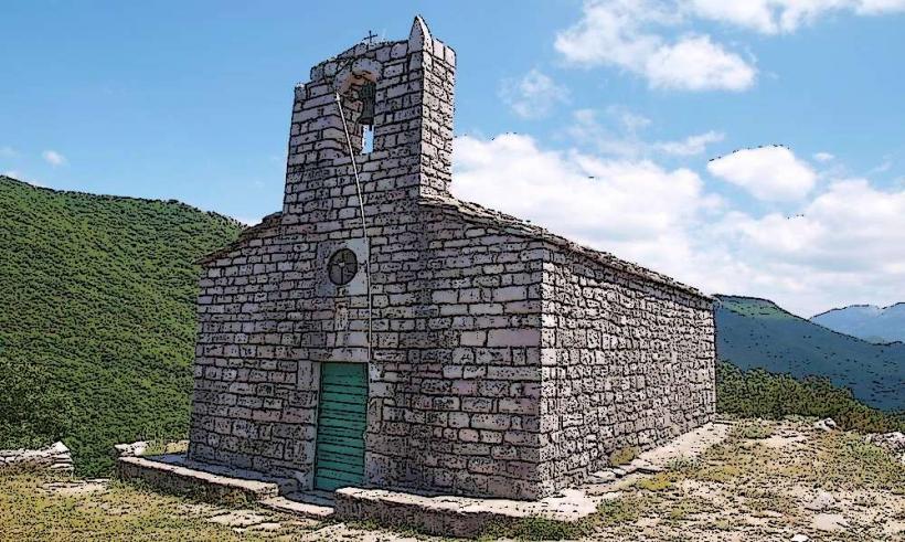
Local tradition regarding the "Island of Flowers" recounts the legend of 70 monks who were allegedly poisoned in the 15th century, leading to the abandonment of the monastery. A technical oddity of the bay is its specific depth profile, which allowed it to accommodate the largest warships of the Austro-Hungarian fleet during World War I.
Nearby Landmarks
Porto Montenegro – 0.1km West (from city center)
Tivat International Airport – 3.0km South
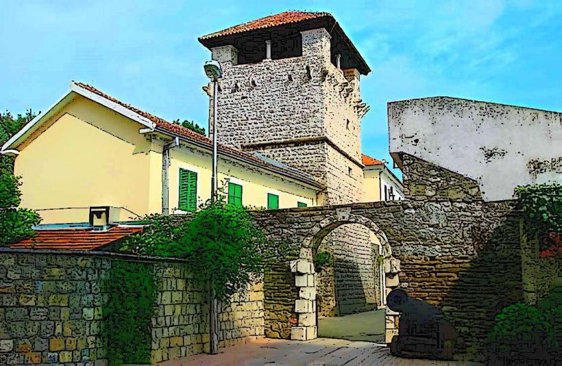
Vrmac Tunnel – 4.0km Southeast
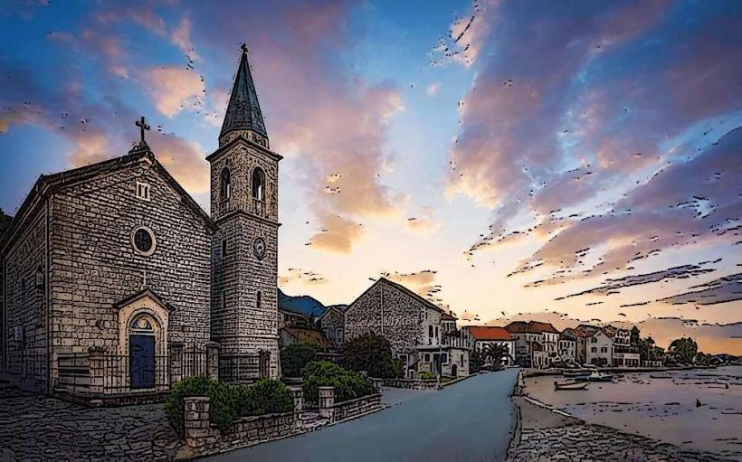
Donja Lastva Waterfront – 1.5km North
Island of Flowers – 2.5km South