Information
Landmark: Sveti Vid HillCity: Tivat
Country: Montenegro
Continent: Europe
Sveti Vid Hill, Tivat, Montenegro, Europe
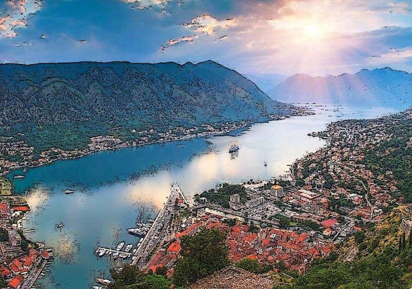
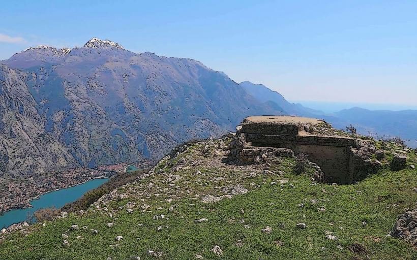
Sveti Vid is the highest peak of the Vrmac Ridge's northwestern section, rising 440 meters above sea level. It serves as a strategic viewpoint and a significant site of religious and historical heritage for the Tivat municipality.
Visual Characteristics
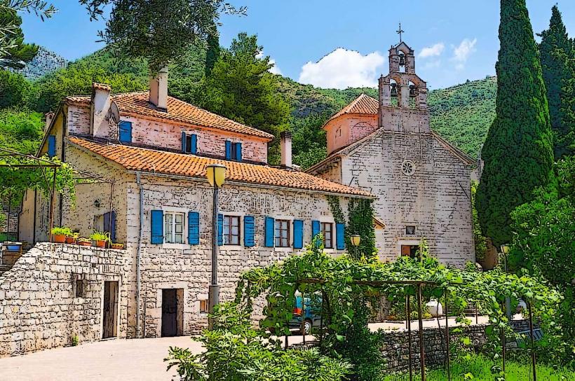
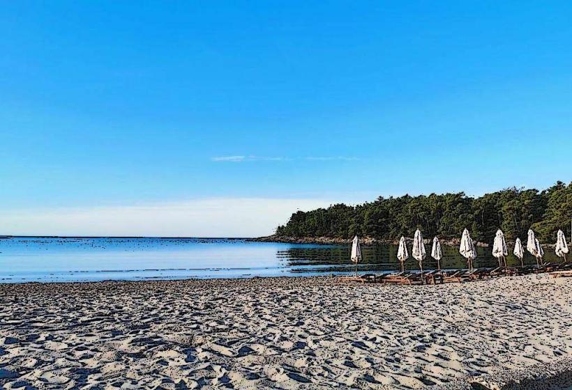
The hill is characterized by a conical karst topography with steep, rocky slopes. The summit is dominated by a small, white-stone chapel and a large metal cross. Vegetation on the lower slopes consists of dense Mediterranean macchia and olive groves, while the upper elevations feature sparse grass and exposed limestone. The summit offers an unobstructed 360-degree view encompassing the Tivat Bay, the Verige Strait, and the Herceg Novi Bay.
Location & Access Logistics
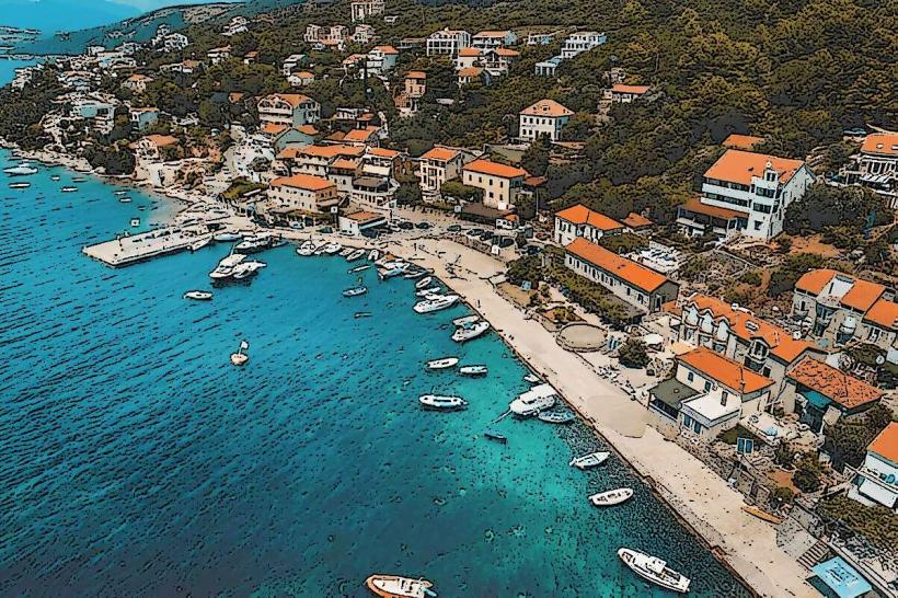
The hill is situated directly above the settlements of Gornja Lastva and Lepetane. Access is primarily via a marked hiking trail starting from the village of Gornja Lastva (approx. 30–45 minutes) or a steeper ascent from the coastal road in Lepetane. There is no vehicle access to the summit. Public transport (local bus) reaches the base in Lepetane, but visitors must proceed on foot for the elevation gain.
Historical & Ecological Origin
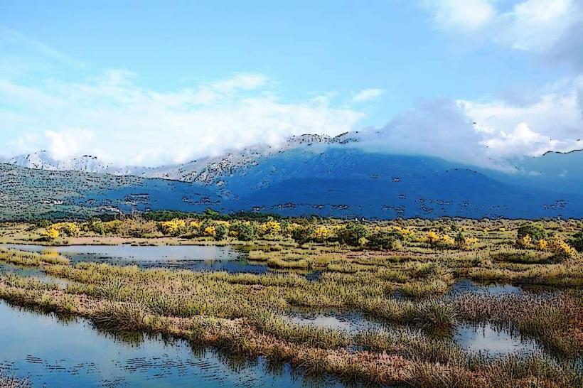
The site has been of strategic and spiritual importance since antiquity. The name "Sveti Vid" (Saint Vitus) is often linked to the pre-Christian Slavic deity Svetovid, suggesting the site was a pagan place of worship before being Christianized. The current chapel was built on the foundations of a much older medieval structure. The hill is part of the Vrmac protected landscape, noted for its diverse butterfly population and aromatic herbs like sage and winter savory.
Key Highlights & Activities
The primary activity is hiking and panoramic photography. The site provides one of the best vantage points for viewing the "chains" of the Verige Strait, where the Bay of Kotor is at its narrowest. Religious pilgrimages take place annually on St. Vitus Day (June 28th). The peak is also a popular spot for amateur radio operators and birdwatchers tracking migratory raptors.
Infrastructure & Amenities
There is no modern infrastructure on the hill. The summit lacks potable water, restrooms, or shelter. 4G and 5G cellular signals are exceptionally strong due to the line-of-sight to Tivat and Herceg Novi. Natural shade is non-existent at the summit; hikers must utilize the forested sections of the trail for cover.
Best Time to Visit
Optimal visiting hours are early morning or late afternoon to avoid the heat of the day and to capture the sunset over the Adriatic. Spring (April–May) is the best season for flora, while September and October offer the clearest visibility. High winds are common at the peak, particularly the northern Bura, so checking local weather conditions is mandatory before ascent.
Facts & Legends
Local legend suggests that the hill was used in medieval times to light signal fires to warn the inner bay of approaching pirate fleets. An architectural curiosity is the orientation of the Sveti Vid chapel, which is precisely aligned to capture the first rays of the sun rising over the Lovćen mountain range.
Nearby Landmarks
Gornja Lastva Village – 1.2km South
Verige Strait – 1.5km North
Lepetane Ferry Terminal – 1.0km Northwest
Sveti Ilija Peak (Vrmac) – 3.5km Southeast
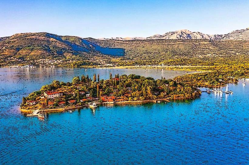
Our Lady of the Rocks – 2.0km North (visible from summit)