Information
Landmark: Vrmac RidgeCity: Tivat
Country: Montenegro
Continent: Europe
Vrmac Ridge, Tivat, Montenegro, Europe
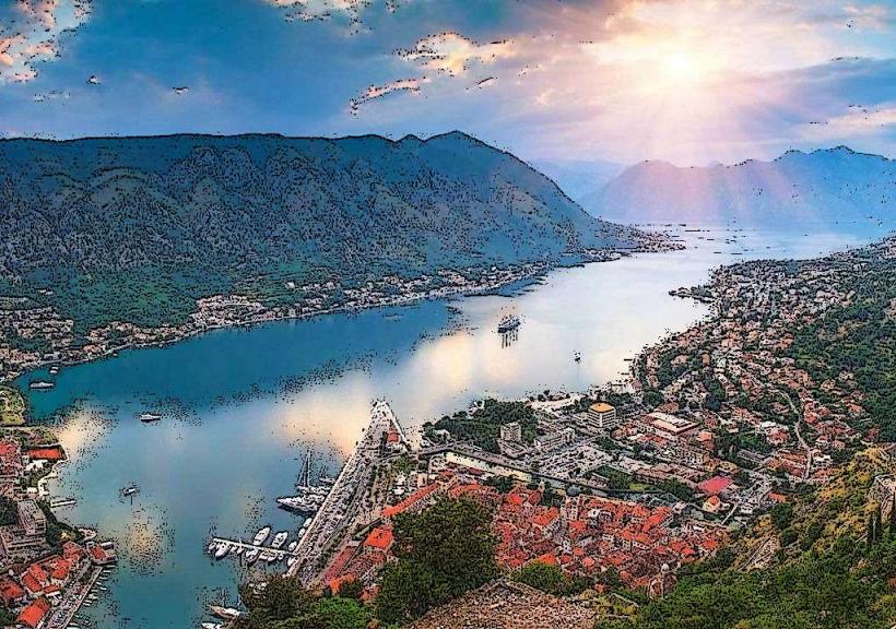
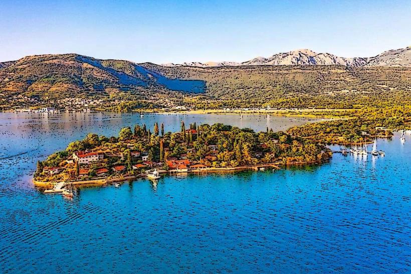
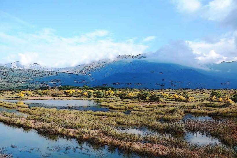
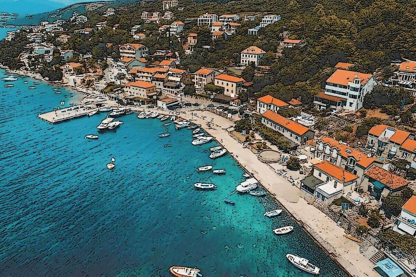
Vrmac Ridge is a prominent karst mountain range and peninsula that separates the Tivat-bay_tivat" class="underline">Tivat Bay from the Kotor Bay. Reaching an elevation of 768 meters at its highest peak, Sveti Ilija, it serves as a central geographical spine and a major recreational zone for the coastal region.
Visual Characteristics
The ridge is characterized by a dense forest of pine, chestnut, and oak trees on its lower slopes, transitioning into open rocky plateaus and alpine meadows at higher elevations. The topography is typical of the Dinaric Alps, featuring sharp limestone outcroppings and deep sinkholes. From the crest, the ridge provides simultaneous, panoramic views of both the inner Bay of Kotor and the open Adriatic Sea.
Location & Access Logistics
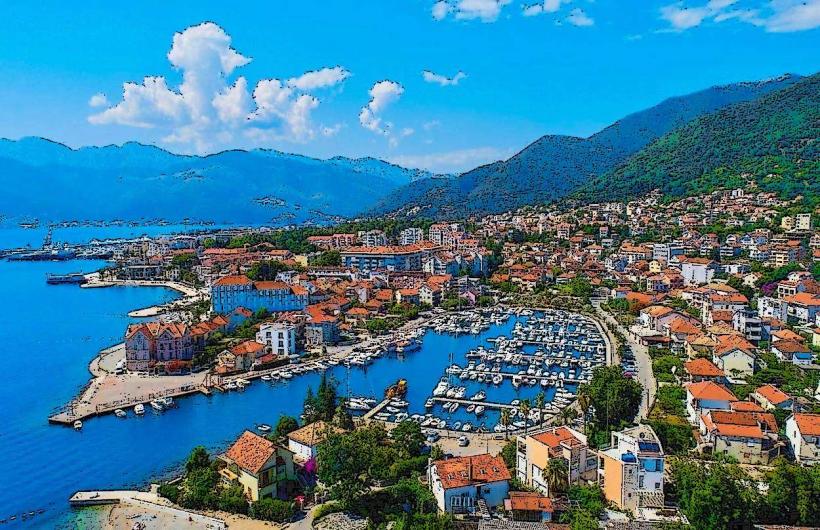
The ridge extends from the Verige Strait in the north to the industrial zone of Radanovići in the south. Primary access for hikers is via marked trails starting from Gornja Lastva (Tivat side) or the Muo and Prcanj settlements (Kotor side). A narrow, winding asphalt road-originally a military route-runs along the spine of the ridge, accessible from the Trojica pass near Kotor. Public transport does not reach the summit; visitors require private vehicles, taxis, or mountain bikes.
Historical & Ecological Origin
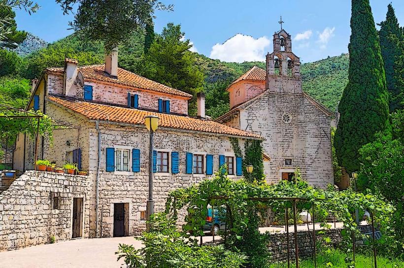
Vrmac has been a site of immense strategic importance for centuries. During the Austro-Hungarian administration, it was heavily fortified to protect the naval base in Tivat and the border with Montenegro. The mountain is an ecological corridor, home to numerous endemic Balkan plants and a significant population of birds of prey. The Vrmac Tunnel, a 1.6km engineering feat, was bored through the base of the ridge to connect the two bays.
Key Highlights & Activities
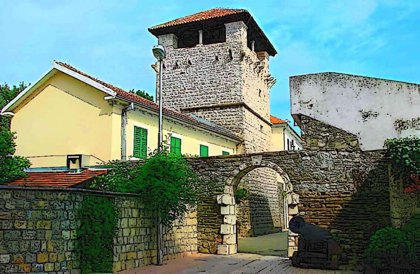
The ridge is a hub for mountain biking, trail running, and hiking. The central highlight is the Austro-Hungarian Fort Vrmac, a massive stone fortress located at the southern end of the ridge. The trail network includes the "Pešačka staza" (walking path) which follows the mountain's spine. Paragliding pilots frequently use the western slopes facing Tivat as a launch site.
Infrastructure & Amenities
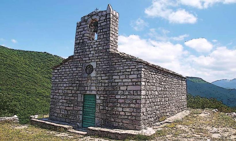
Infrastructure is minimal and primarily restricted to the ruins of military structures. There are no commercial vendors, public restrooms, or potable water sources on the ridge. Visitors must bring all necessary supplies. 4G and 5G cellular signals are generally strong and consistent due to the elevation and proximity to urban centers. Natural shade is abundant in the forested sections but non-existent on the summit plateau.
Best Time to Visit
Optimal conditions occur in spring (April–June) for wildflower blooms and autumn (September–October) for clear visibility and temperate hiking weather. Photography is best at sunrise for views over the Kotor Bay and at sunset for views over the Tivat Bay. Winter visits are possible but can be complicated by high winds and low-hanging clouds that obscure all visibility.
Facts & Legends
A local legend suggests that the ridge was formed by a giant who tried to step across the bay but slipped, leaving his "spine" as the mountain. A verified technical fact is that the Austro-Hungarian military road on Vrmac was engineered with a specific gradient to allow for the transport of heavy artillery by horse-drawn carriages, a feat of 19th-century logistics still utilized by cyclists today.
Nearby Landmarks
Fort Vrmac – 0.5km South (of the central ridge road)
Gornja Lastva Village – 2.0km West
Sveti Ilija Peak – 0.0km (Central point)
Kotor Old Town – 3.5km East (via hiking trail)
Tivat Airport – 4.0km Southwest