Information
Landmark: Brunei RiverCity: Bandar Seri Begawan
Country: Brunei
Continent: Asia
Brunei River, Bandar Seri Begawan, Brunei, Asia
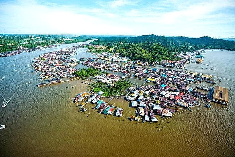
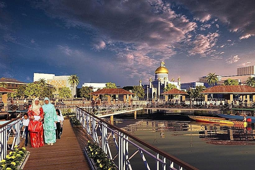
The Brunei River is a significant waterway flowing through the capital city of Bandar Seri Begawan, Brunei Darussalam.
It serves as a primary artery for transportation and a focal point for the city's development.
Visual Characteristics
The river's water color varies from muddy brown to a greenish hue, influenced by sediment load and tidal conditions. Its width ranges from approximately 100 meters in narrower sections to over 500 meters near its mouth. The riverbanks are a mix of mangrove vegetation, urban development including stilted houses and concrete structures, and reclaimed land.
Location & Access Logistics
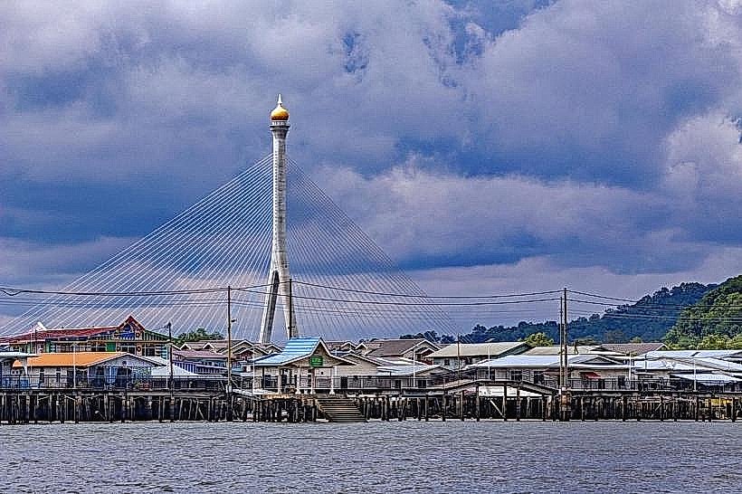
The Brunei River is situated within Bandar Seri Begawan. Access is primarily via water taxi from jetties located along the waterfront, such as the one near the Royal Regalia Building. Driving to the river is possible, with parking available in designated lots in the city center. Bus routes serving the city center provide access to the waterfront area.
Historical & Ecological Origin
The Brunei River is a natural fluvial system, shaped by geological processes over millennia. It is an estuarine environment, experiencing tidal influences from the South China Sea. Historically, the river has been central to the settlement and development of Brunei, serving as a trade route and defense line for centuries.
Key Highlights & Activities
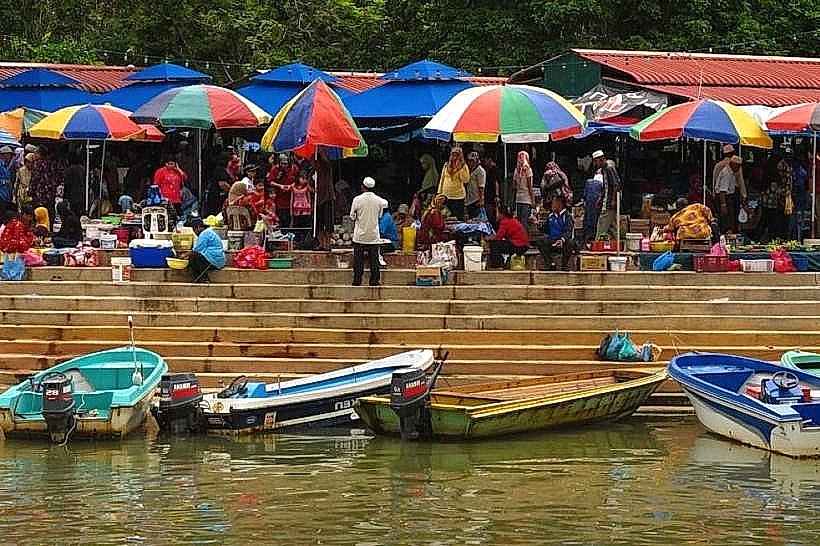
Water taxi tours along the river are a primary activity, offering views of Kampong Ayer (Water Village) and the city skyline. Observing the local riverine lifestyle and the architecture of stilted houses is a key highlight. Fishing is practiced by some local residents.
Infrastructure & Amenities
Public restrooms are available at the main waterfront jetties in Bandar Seri Begawan. Shade is provided by structures at the jetties and by the buildings lining the river. Cell phone signal (4G/5G) is generally strong in the city center areas adjacent to the river. Food vendors and restaurants are located along the waterfront.
Best Time to Visit
For photography, early morning (07:00-09:00) and late afternoon (16:00-18:00) offer softer lighting. The best months for comfortable weather are generally from March to October, avoiding the heavier rainfall periods of November to February. Tidal conditions can affect the river's appearance and accessibility for certain watercraft.
Facts & Legends
Kampong Ayer, the largest traditional water village in the world, is situated on the Brunei River. It has been inhabited for over 600 years, with its residents maintaining a distinct way of life on the water.
Nearby Landmarks
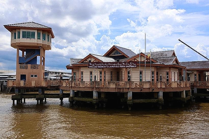
- Kampong Ayer Cultural & Tourism Gallery (0.2km West)
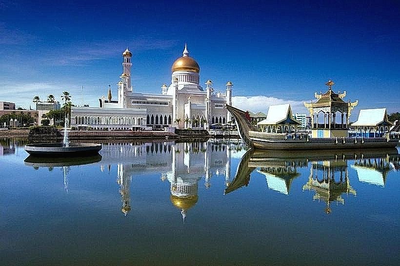
- Sultan Omar Ali Saifuddien Mosque (0.5km West)
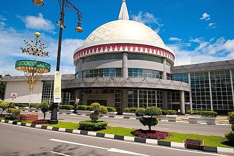
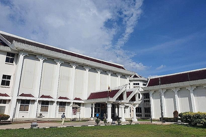
- Royal Regalia Building (0.3km West)
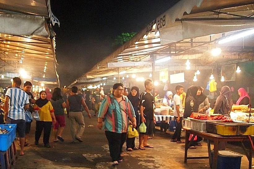
- Tamu Kianggeh Market (0.8km South)
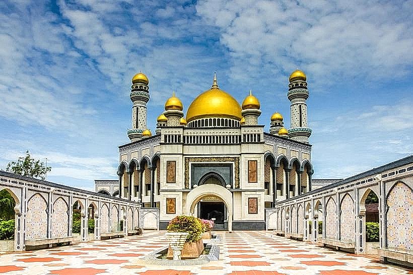
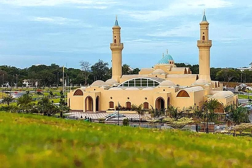
- Jame' Asr Hassanil Bolkiah Mosque (3.5km South)