Information
Landmark: Cabo San Juan de GuíaCity: Santa Marta
Country: Colombia
Continent: South America
Cabo San Juan de Guía, Santa Marta, Colombia, South America
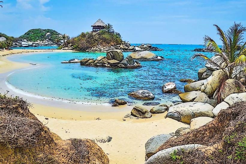
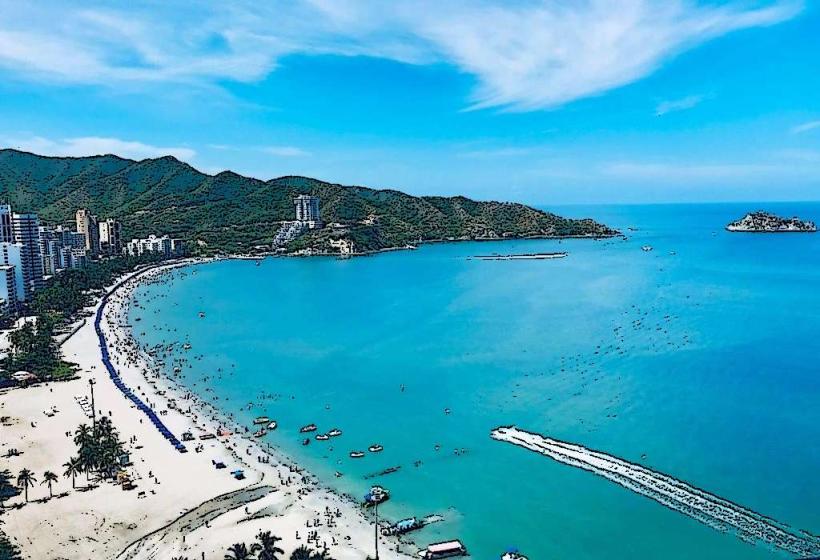
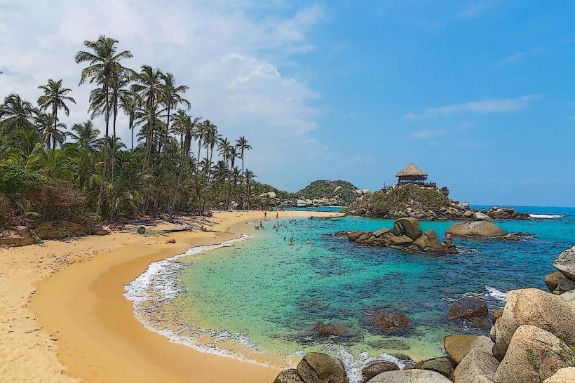
Cabo San Juan de Guía is a coastal promontory located within Tayrona National Natural Park, near Santa Marta, Colombia. It is characterized by its distinctive rock formations and a small lighthouse.
Visual Characteristics
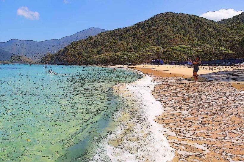
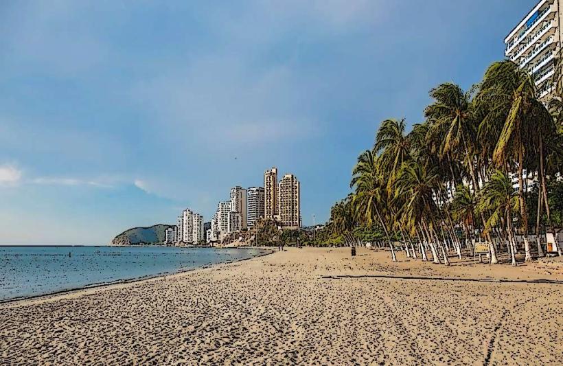
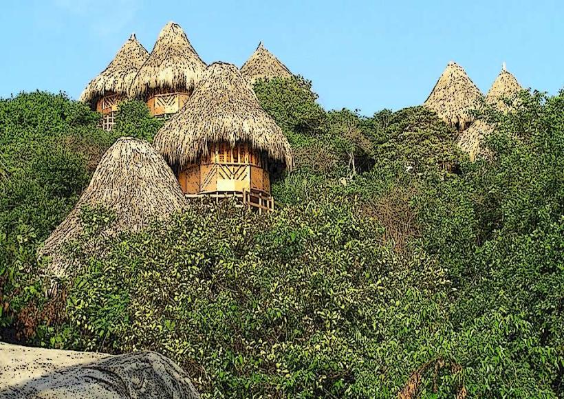
The site features prominent granite rock formations, including the iconic "El Peñón" which rises from the sea. The coastline consists of sandy beaches with clear, turquoise water. Vegetation is dense tropical dry forest, with palm trees and various shrubs. A small, white lighthouse is situated atop the main rock formation.
Location & Access Logistics
Cabo San Juan de Guía is situated at the eastern end of Tayrona National Natural Park. Access requires entry through the park's main gate (El Zaino). From El Zaino, a 45-minute to 1-hour walk along marked trails leads to the site. The park is approximately 34 kilometers from Santa Marta. Parking is available at the El Zaino entrance. No public transport directly serves Cabo San Juan; park entry is via private vehicle or taxi to El Zaino, followed by walking.
Historical & Ecological Origin
The granite formations are the result of geological processes occurring over millions of years. The area is part of a coastal ecosystem characterized by tropical dry forest and marine environments. The lighthouse was constructed in the early 20th century to aid maritime navigation.
Key Highlights & Activities
Visitors can observe the rock formations and the lighthouse. Swimming and sunbathing are permitted on the adjacent beaches. Hiking the trails within Tayrona National Park is a primary activity. Limited camping facilities are available near the site.
Infrastructure & Amenities
Basic amenities include restrooms and a small kiosk selling drinks and snacks. Shade is available from natural vegetation and some constructed shelters. Cell phone signal is intermittent and generally unreliable within the park.
Best Time to Visit
The best time of day for photography is generally in the morning or late afternoon when the sun angle provides optimal lighting on the rock formations. The dry season, from December to March, offers the most favorable weather conditions with less rainfall. High tide can affect beach accessibility.
Facts & Legends
Local indigenous communities, such as the Kogi and Arhuaco, consider this area sacred. It is believed to be a place of spiritual connection to the natural world. A specific tip for visitors is to arrive early in the day to avoid the peak heat and crowds.
Nearby Landmarks
- La Piscina (0.8km West)
- Arrecifes (1.5km West)
- El Pueblito (2.0km Inland, North)
- Bahía Concha (4.5km Northwest)