Information
Landmark: La GuajiraCity: Santa Marta
Country: Colombia
Continent: South America
La Guajira, Santa Marta, Colombia, South America
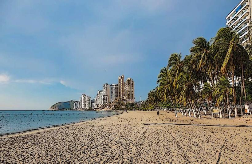
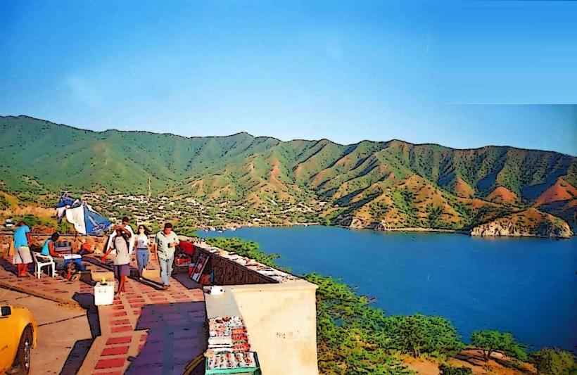
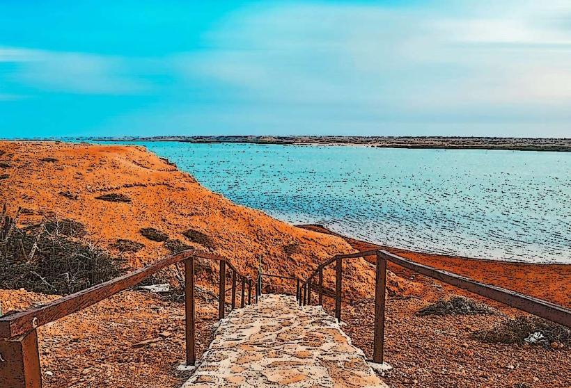
La Guajira is a desert peninsula located in the northernmost part of Colombia. It is characterized by arid landscapes and indigenous Wayuu communities.
Visual Characteristics
The landscape consists of extensive sand dunes, dry scrub vegetation, and a coastline bordering the Caribbean Sea. The sand varies in color from pale yellow to reddish-brown. Water bodies, where present, are typically shallow and saline. Vegetation is sparse, dominated by cacti and drought-resistant shrubs.
Location & Access Logistics
La Guajira is accessible from Santa Marta via the Troncal del Caribe (Route 90) highway, approximately 150 km to the northeast. The journey typically takes 3-4 hours by private vehicle. Public bus services operate between Santa Marta and Riohacha, the capital of La Guajira department. From Riohacha, further travel into the peninsula requires 4x4 vehicles due to unpaved and sandy roads. Parking is generally available in towns like Riohacha and Uribia, but limited in more remote areas.
Historical & Ecological Origin
The peninsula's arid climate is a result of its location within the rain shadow of the Sierra Nevada de Santa Marta mountains and its exposure to trade winds. Ecologically, it is classified as a desert and semi-desert region. Historically, it has been inhabited by the Wayuu people for centuries, who have adapted their culture and survival strategies to the harsh environment.
Key Highlights & Activities
Activities include visiting indigenous Wayuu communities to learn about their culture and crafts, exploring the Cabo de la Vela coastline, and observing the unique desert flora and fauna. Dune trekking is possible in specific areas. Birdwatching is also a notable activity, particularly during migratory seasons.
Infrastructure & Amenities
Basic infrastructure is present in towns like Riohacha and Uribia, including hotels, restaurants, and medical facilities. In more remote areas such as Cabo de la Vela, accommodations are typically simpler hostels or campsites. Cell phone signal is inconsistent and often unavailable outside of larger settlements. Restrooms are available in established tourist areas and towns. Shade is limited in open desert areas.
Best Time to Visit
The dry season, from December to April, offers the most favorable weather conditions with less rainfall and lower humidity. The hottest months are typically July and August. There are no significant tidal influences affecting access to the main tourist sites.
Facts & Legends
The Wayuu people are known for their intricate weaving traditions, particularly the mochilas (bags) and hammocks, which are sold throughout Colombia. A local belief suggests that the wind spirits of La Guajira carry the souls of the departed.
Nearby Landmarks
- Cabo de la Vela (200km Northeast)
- Sierra Nevada de Santa Marta National Natural Park (100km Southwest)
- Tayrona National Natural Park (80km Southwest)
- Palomino Beach (90km Southwest)