Information
Landmark: Pueblito ChairamaCity: Santa Marta
Country: Colombia
Continent: South America
Pueblito Chairama, Santa Marta, Colombia, South America
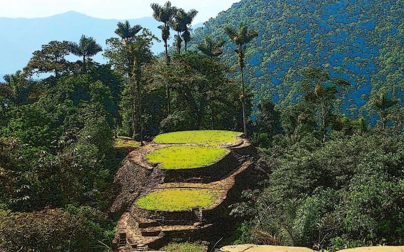
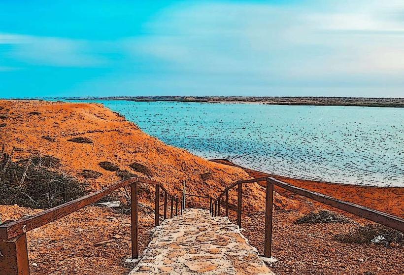
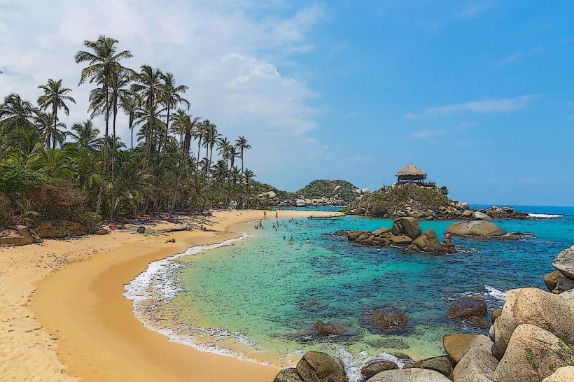
Pueblito Chairama is an archaeological site located in the Sierra Nevada de Santa Marta mountain range, near Santa Marta, Colombia.
It is a pre-Hispanic indigenous settlement reconstructed from original ruins.
Visual Characteristics
The site consists of stone terraces, pathways, and circular foundations built from river stones and earth. Structures are integrated into the natural hillside. Vegetation is dense tropical rainforest, with mature trees and undergrowth surrounding the archaeological features.
Location & Access Logistics
Pueblito Chairama is accessed via a hiking trail originating from the Minca region. The trailhead is approximately 15 kilometers from Santa Marta city center. The hike to the site is approximately 4-6 hours one way, depending on the starting point and pace. There is no direct vehicle access. Parking is available in Minca, with options ranging from informal roadside spots to designated parking areas. Public transport to Minca involves taking a bus from Santa Marta's central bus terminal to Minca. From Minca, local mototaxis can transport visitors to specific trailheads.
Historical & Ecological Origin
Pueblito Chairama is believed to have been inhabited by the Tayrona civilization, with its peak occupation between the 11th and 16th centuries. It served as a ceremonial and residential center. The site is situated within a tropical montane forest ecosystem, characterized by high biodiversity and specific microclimates due to its elevation.
Key Highlights & Activities
Exploration of the stone terraces and foundations. Observation of the integration of architecture with the natural environment. Hiking the trails to and from the site. Birdwatching is a common activity due to the rich avian population.
Infrastructure & Amenities
There are no permanent structures or amenities at the Pueblito Chairama site itself. Visitors should carry all necessary supplies, including water and food. Cell phone signal is unreliable to non-existent within the hiking trails and at the site. Shade is provided by the forest canopy.
Best Time to Visit
The best time of day for photography is generally mid-morning or late afternoon to avoid harsh overhead sunlight and utilize softer light. The dry season, from December to March, offers more predictable weather conditions with less rainfall. The shoulder months of April and November can also be suitable, though with a higher chance of rain.
Facts & Legends
The site is also known as "El Pueblito" and is one of several smaller settlements connected to the larger Ciudad Perdida (Lost City). Local indigenous communities, such as the Kogui and Arhuaco, consider the area sacred and maintain traditional practices there.
Nearby Landmarks
- Minca (15km Southwest)
- Pozo Azul (12km Southwest)
- Finca La Victoria (14km Southwest)
- Cerro Kennedy (8km Northwest)