Information
Landmark: Parque Natural Sierra Nevada de Santa MartaCity: Santa Marta
Country: Colombia
Continent: South America
Parque Natural Sierra Nevada de Santa Marta, Santa Marta, Colombia, South America
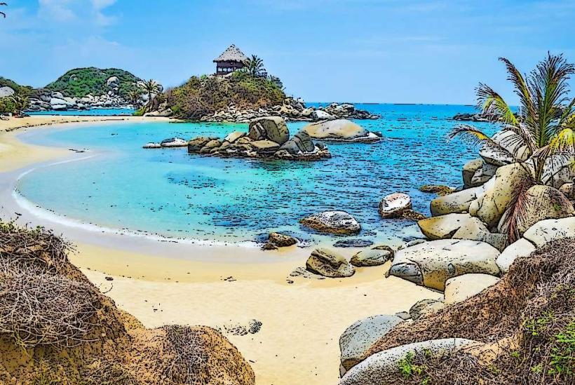
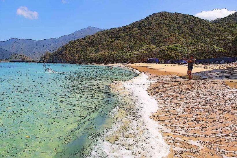
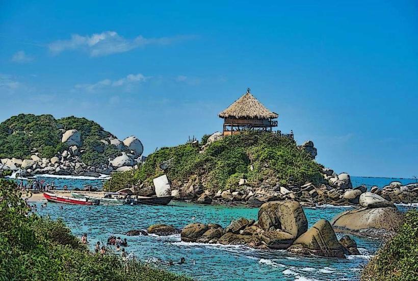
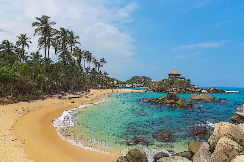
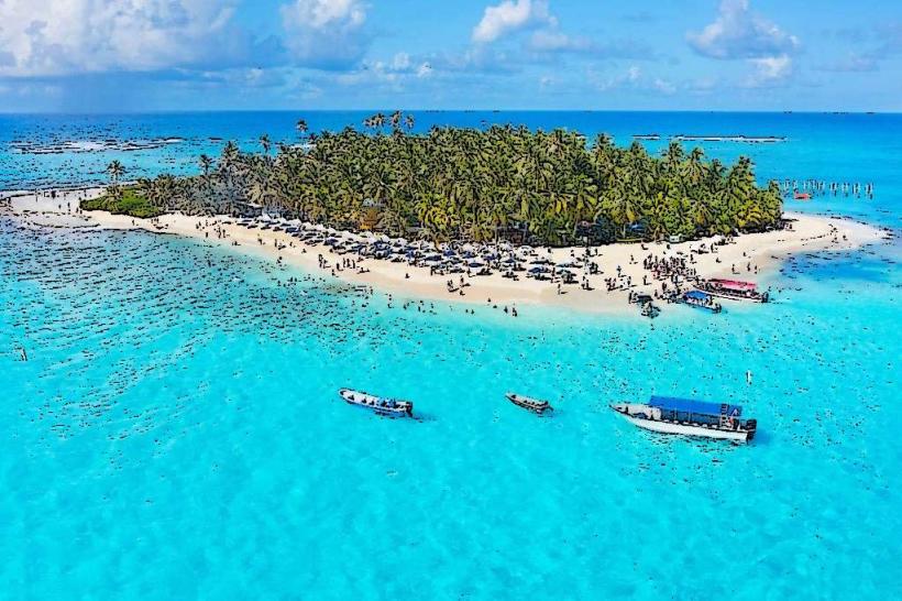
Parque Natural Sierra Nevada de Santa Marta is a protected natural area located in the northernmost part of Colombia, bordering the Caribbean coast.
This park encompasses a significant portion of the Sierra Nevada de Santa Marta mountain range, a distinct massif separated from the Andes.
Visual Characteristics
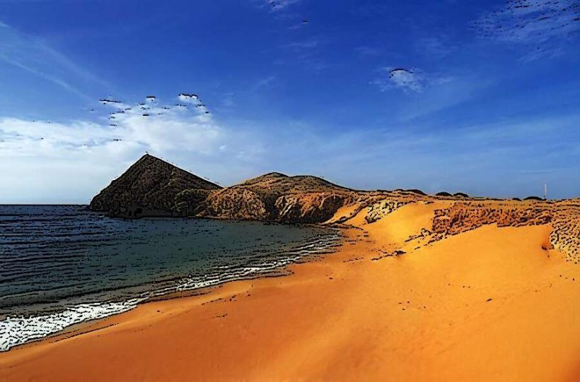
The park's topography ranges from coastal plains to high-altitude páramo ecosystems. Vegetation varies from tropical dry forest and humid lowland forest at lower elevations to cloud forest and alpine tundra at higher altitudes. Elevations reach over 5,700 meters (18,700 feet), featuring snow-capped peaks. Rivers and streams are prevalent throughout the mountainous terrain, with varying water clarity depending on sediment load.
Location & Access Logistics
The park is accessible from Santa Marta, approximately 30 kilometers (19 miles) northwest. Access points include the road to Minca (a town at the foothills) and further routes towards the interior. Private vehicle access is limited to specific points, with 4x4 vehicles often required for higher elevations. Public transport to Minca is available via shared taxis and buses departing from Santa Marta's central market area. From Minca, local guides and transport services are necessary for deeper park exploration.
Historical & Ecological Origin
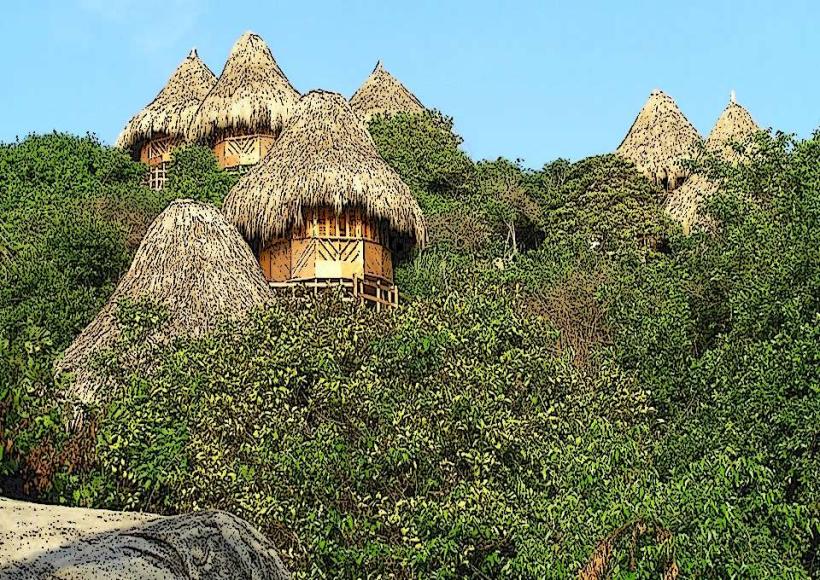
The Sierra Nevada de Santa Marta is a geological formation of tectonic origin, a massif that rose independently from the Andes. It is considered one of the most important biodiversity hotspots in the world, with numerous endemic species. The area has been inhabited for millennia by indigenous communities, including the Kogi, Arhuaco, Wiwa, and Kankuamo peoples, who consider the mountains sacred.
Key Highlights & Activities
Hiking is a primary activity, with trails leading to waterfalls, indigenous settlements, and viewpoints. Birdwatching is significant due to the high number of endemic avian species. Camping is permitted in designated areas. Visiting indigenous communities requires prior arrangement and adherence to cultural protocols. Trekking to the base of Pico Cristóbal Colón or Pico Simón Bolívar is possible for experienced mountaineers with specialized guides.
Infrastructure & Amenities
Basic infrastructure exists in Minca, including small hotels, restaurants, and shops. Within the park itself, amenities are minimal, with some eco-lodges and campsites offering rudimentary facilities. Cell phone signal is intermittent and generally unavailable in higher elevations. Restrooms are typically found at established lodges or visitor centers near access points.
Best Time to Visit
The dry season, from December to March, offers the most stable weather for hiking and outdoor activities. The shoulder months of April and November can also be suitable. Rainfall increases significantly from April to November. For photography, early morning and late afternoon light provides optimal conditions, particularly in the lower forest zones.
Facts & Legends
The park is the highest coastal mountain range in the world. Indigenous cosmology views the Sierra Nevada as the "Heart of the World," a vital spiritual center for the planet. A specific local tip is to carry water purification tablets, as natural water sources, while abundant, may require treatment.
Nearby Landmarks
- Minca (10km Southwest)
- Tayrona National Natural Park (40km Northeast)
- Ciudad Perdida (Lost City) (Approx. 60km East, requires multi-day trek)
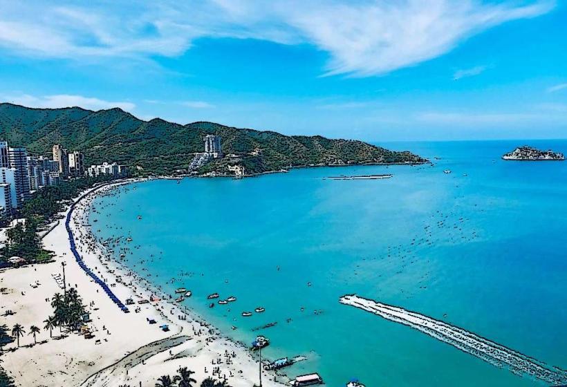
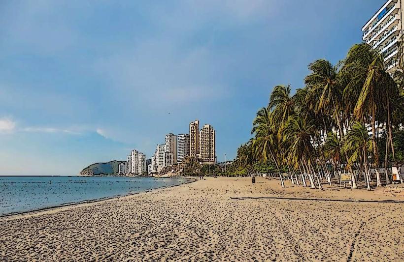
- El Rodadero Beach (35km West)
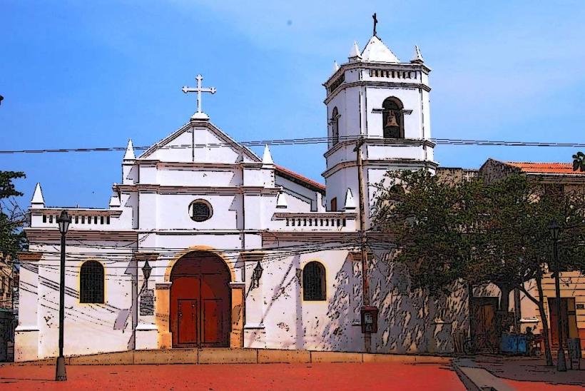
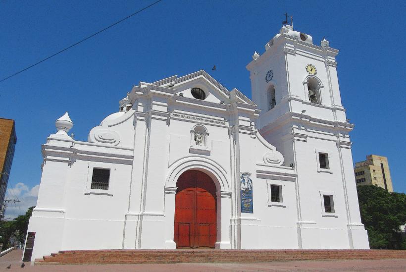
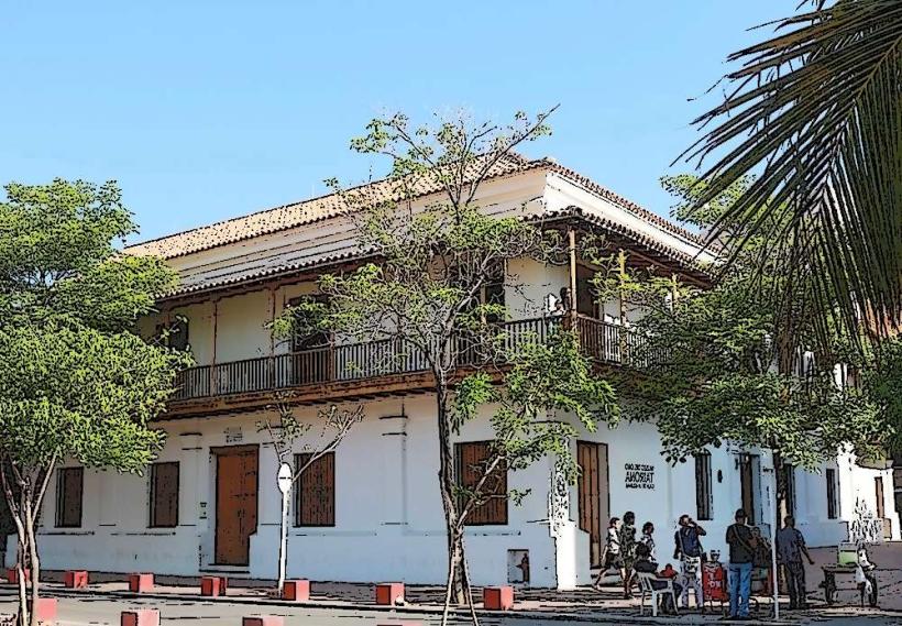
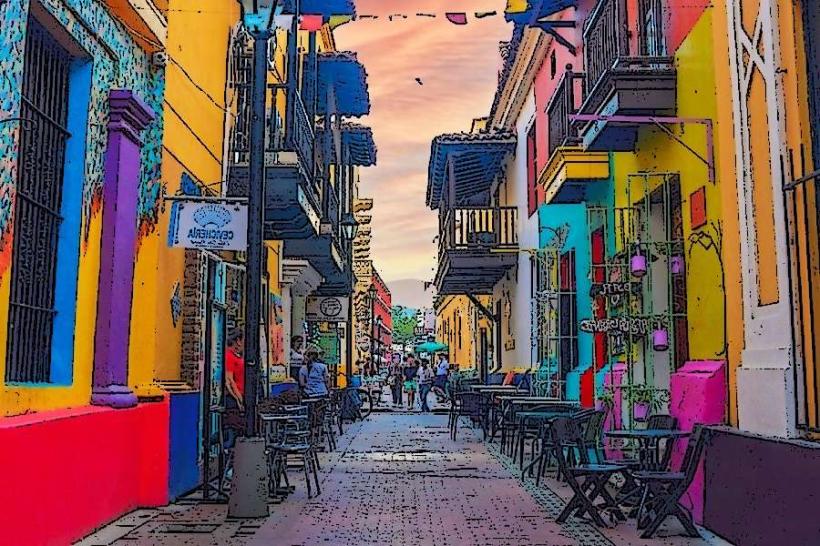
- Santa Marta Historical Center (30km Northwest)