Information
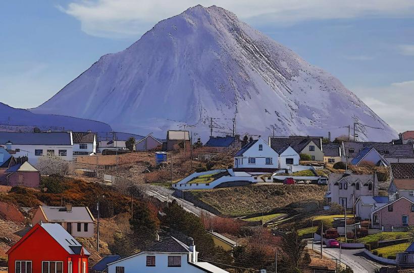
Landmark: Errigal MountainCity: Donegal
Country: Ireland
Continent: Europe
Errigal Mountain, Donegal, Ireland, Europe
Errigal Mountain (Mount Errigal) is the highest peak in County Donegal, standing at $751$ meters ($2,464$ feet). It is part of the "Seven Sisters" range within the Derryveagh Mountains and is characterized by its sharp, conical shape and quartzite composition.
Visual Characteristics
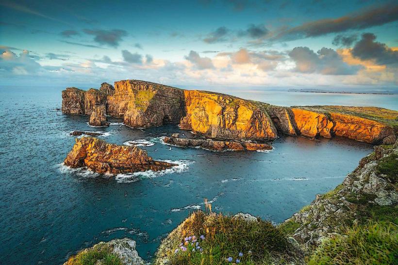
The mountain is visually distinct due to the white quartzite rock covering its upper slopes, which gives it a shimmering, snow-like appearance or a pinkish hue during sunset.
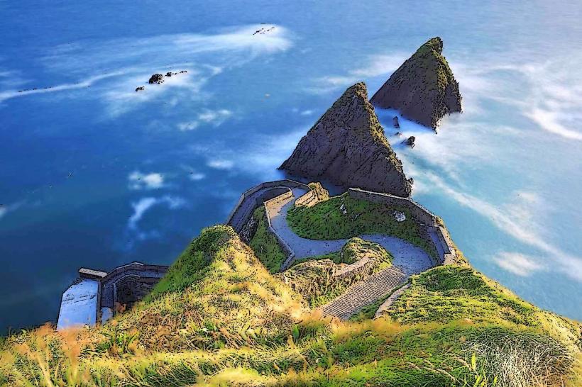
The Ridge: The summit features a narrow, knife-edge arête known as "One Man's Pass," connecting the two primary peaks.
Landscape: Surrounded by the boglands of Gweedore and overlooking the Poisoned Glen and Lough Dunlewey.
Location & Access Logistics
Address: Moneybeg, Co. Donegal.
Position: Near the village of Dunlewey on the R251 road.
Transit: Accessible only by private vehicle or taxi; no direct public transport to the trailhead.
Parking: A designated car park is located at the base on the R251.
Accessibility: The climb is a strenuous mountain hike. While a gravel and stone path was installed in 2022 to prevent erosion, it remains steep and is not suitable for mobility devices.
Geological & Historical Origin
Composition: Formed primarily of Dalradian Quartzite, which is resistant to weathering, allowing the mountain to maintain its steep, pointed profile.
Erosion Control: In 2022, a major restoration project used over 200 tons of local stone to create a sustainable path, protecting the mountain's sensitive blanket bog from hiker-induced degradation.
Key Highlights & Activities
Hiking: The most popular route starts from the R251 car park. The ascent typically takes 1.5 to 2.5 hours depending on fitness levels and weather.
The Summit: Provides 360-degree views of the Donegal coastline, including Tory Island, the Inishowen Peninsula, and Slieve League.
One Man's Pass: A narrow traverse at the top; while not technically difficult for experienced hikers, it requires caution in high winds.
Infrastructure & Amenities
Facilities: No restrooms or visitor services at the trailhead. Nearest facilities are in Dunlewey (2km).
Connectivity: Signal is generally available on the slopes but can be lost in the valleys or during thick cloud cover.
Safety: The weather changes rapidly. The "pink" quartzite becomes extremely slippery when wet.
Best Time to Visit
Seasonality: Accessible year-round, but winter climbs require specialized equipment (crampons/ice axe) during snow or ice.
Photography: The best vantage point to photograph the mountain's profile is from the bridge at Dunlewey or the shores of Lough Dunlewey.
Golden Hour: Sunset is the optimal time for the "glowing" effect on the quartzite slopes.
Facts & Legends
A verified technical detail: Errigal is classified as a "Marilyn" (a mountain with a prominence of at least 150 meters). Local legend claims the mountain was a site of worship for the sun god Lugh, and its name may derive from Aireagal, meaning "oratory" or "small church," potentially referring to its sacred status.
Nearby Landmarks
Glenveagh National Park – 12km East
Dunlewey Centre – 2km West
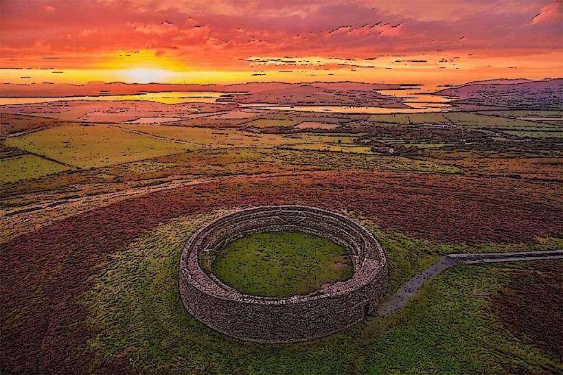
The Poisoned Glen – 3km Southwest
Donegal Airport – 20km West