Information
Landmark: GweedoreCity: Donegal
Country: Ireland
Continent: Europe
Gweedore, Donegal, Ireland, Europe
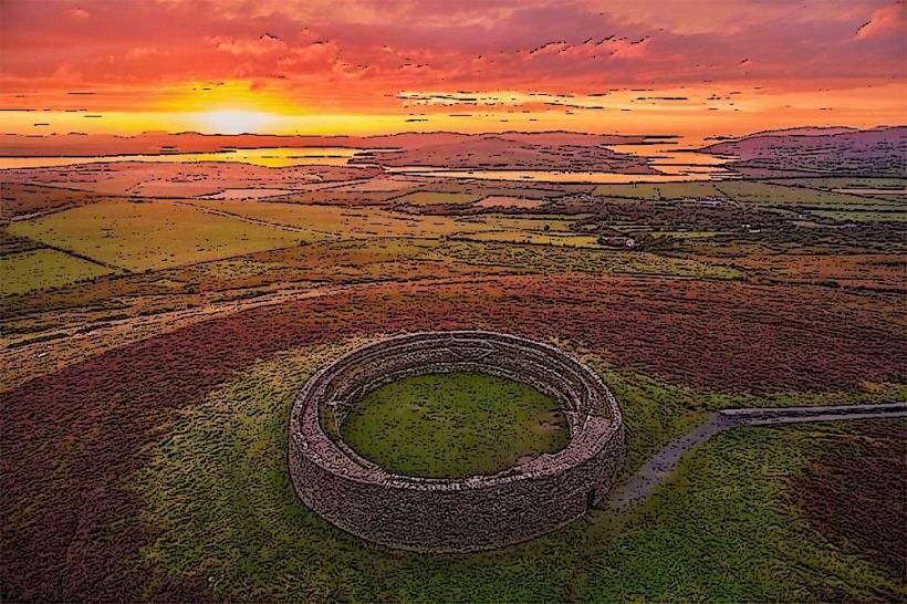
Gweedore (Gaoth Dobhair) is a coastal district in northwest County Donegal, situated between the Derryveagh Mountains and the Atlantic Ocean. It is the largest Irish-speaking (Gaeltacht) parish in Ireland and serves as a primary center for Irish traditional music and culture.
Visual Characteristics
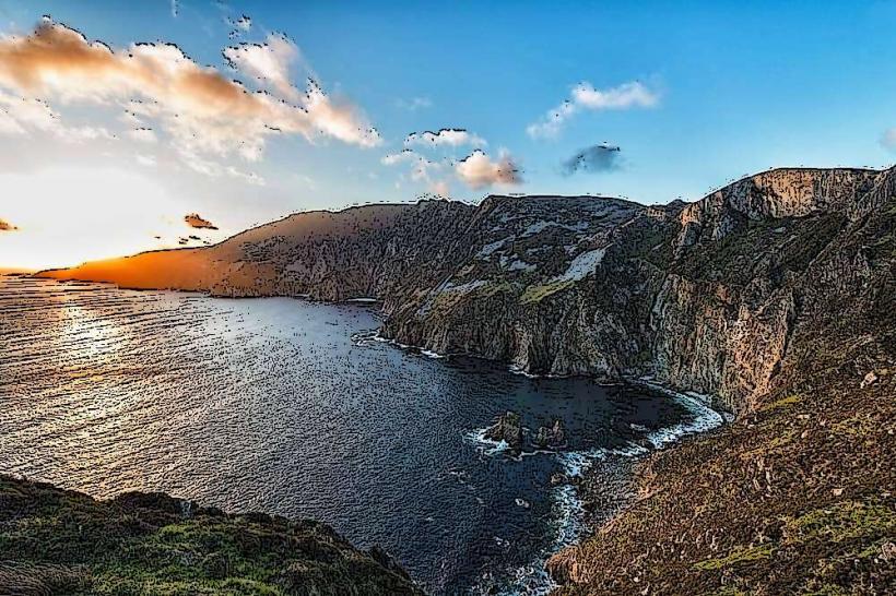
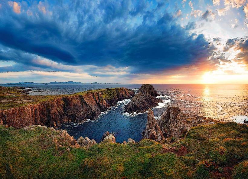
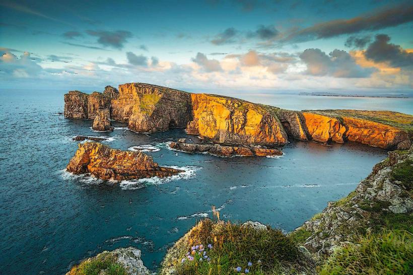
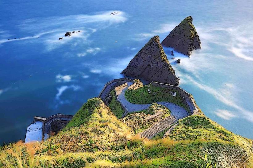
The landscape is defined by rugged granite terrain, bogland, and white sand beaches.
The Coast: Features the iconic shipwreck of the Bád Eddie (Cara Na Mara) on Magheraclogher Beach.
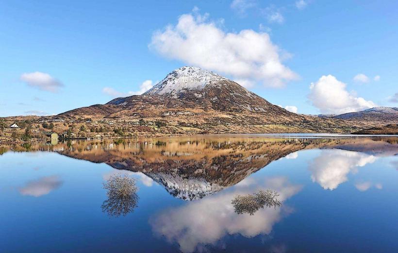
Mountains: Dominated by the conical silhouette of Errigal Mountain ($751$m), the highest peak in Donegal.
Architecture: Characterized by a high density of modern bungalows interspersed with traditional thatched cottages and industrial units.
Location & Access Logistics
Address: Gweedore, Co. Donegal (Main hubs: Bunbeg, Derrybeg, Brinlack).
Position: Located on the R257 coastal road and the N56 inland road.
Transit: 15km west of Donegal Airport (Carrickfinn). Private vehicle is the standard transport mode; Gallagher's and Feda O'Donnell operate daily bus services to Galway, Dublin, and Letterkenny.
Accessibility: Coastal beaches are accessible via paved slipways. Inland hiking trails, particularly on Errigal and through the Poisoned Glen, are steep and rocky.
Cultural & Historical Origin
The Gaeltacht: Gweedore is a stronghold of the Irish language, where Irish is the primary medium of daily communication and education.
Industrial History: The Gweedore Industrial Estate (est. 1970s) was a major regional development initiative to provide employment for the native-speaking population.
Clannad & Enya: The region is internationally recognized as the home of the Brennan family (Clannad and Enya), who significantly influenced the global Celtic music genre.
Key Highlights & Activities
Mount Errigal: A popular hiking destination. The mountain is noted for its pinkish glow at sunset due to its quartzite composition.
Magheraclogher Beach: Site of the aforementioned shipwreck, which has become a landmark for photographers.
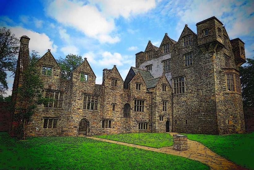
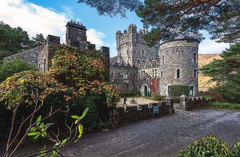
Glenveagh National Park: Bordering the eastern edge of the parish, featuring the castle and native oak forests.
Leo’s Tavern: Located in Meenaleck; a world-famous venue for traditional music and the starting point for Clannad.
Infrastructure & Amenities
Commercial Center: Derrybeg and Bunbeg provide supermarkets, pharmacies, and hardware stores.
Education: Home to Acadamh na hOllscolaíochta Gaeilge, a campus of the University of Galway that operates through Irish.
Connectivity: 4G/5G is generally available in the lower coastal areas, but signal drops significantly in the shadow of Errigal and within the Poisoned Glen.
Best Time to Visit
Seasonality: Summer is optimal for coastal activities and festivals (e.g., Scoil Gheimhridh Ghaoth Dobhair in late December for music).
Weather: Subject to high Atlantic rainfall. Sea mists (ceocháin) can move in rapidly, reducing visibility on the mountains to near zero.
Photography: Sunset at Magheraclogher Beach or the viewpoint overlooking the Poisoned Glen provides the highest visual contrast.
Facts & Legends
A verified technical detail: Gweedore is the most densely populated rural area in Europe, a legacy of historical land division patterns where families maintained small, self-sufficient plots of bogland. Local legend attributes the name of the "Poisoned Glen" to the ancient giant Balor of the Evil Eye, whose eye poisoned the ground when he was killed by his grandson Lugh.
Nearby Landmarks
Mount Errigal – 10km East
Donegal Airport – 15km West
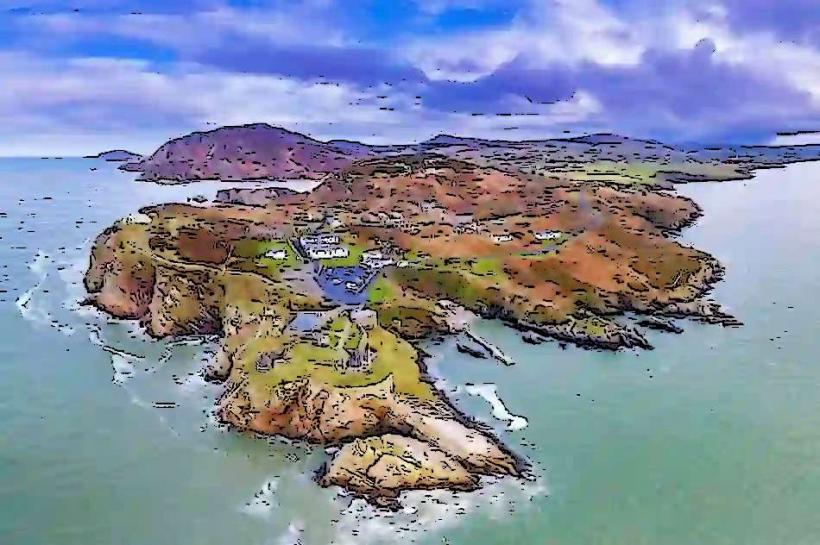
Tory Island Ferry (from Magheroarty) – 12km North
Dunlewey Centre – 8km East
Bloody Foreland – 10km Northwest