Information
Landmark: Inishowen PeninsulaCity: Donegal
Country: Ireland
Continent: Europe
Inishowen Peninsula, Donegal, Ireland, Europe
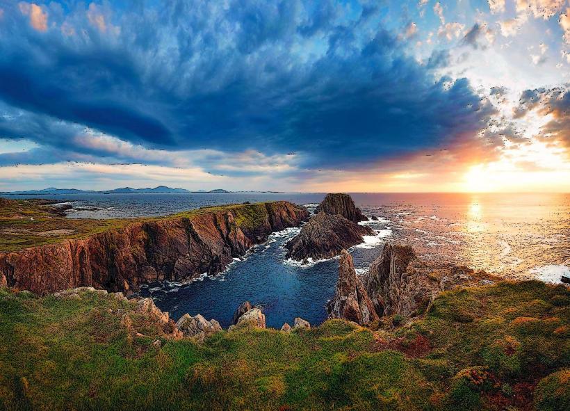
The Inishowen Peninsula is the largest peninsula in Ireland, located in Northern Donegal between Lough Foyle to the east and Lough Swilly to the west. It terminates at Malin Head, the most northerly point of mainland Ireland.
Visual Characteristics
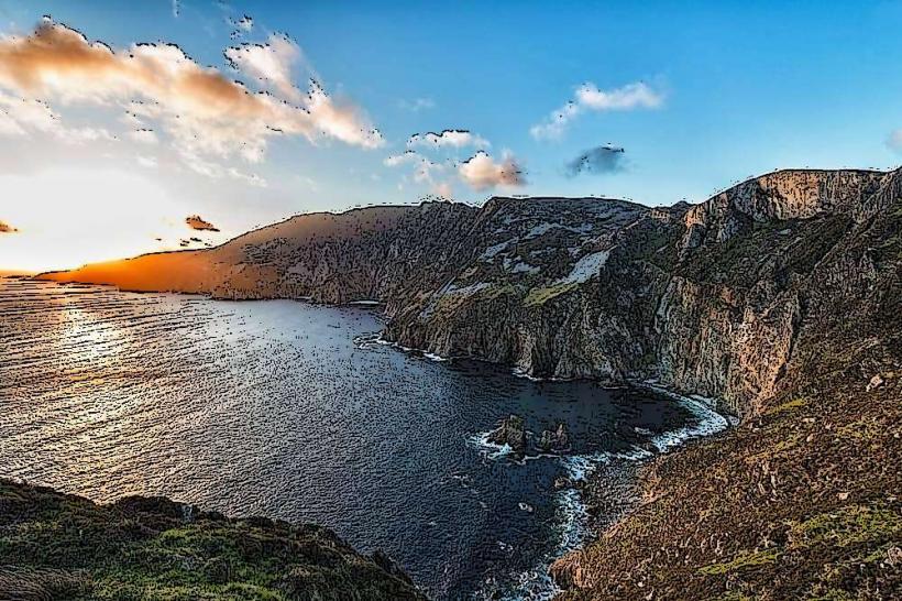
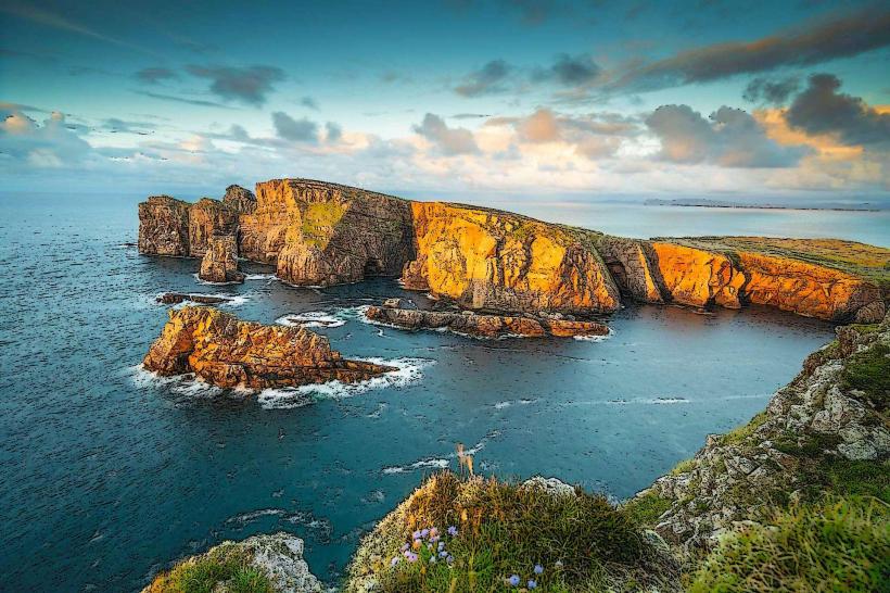
The landscape is a high-contrast mix of rugged mountains, glacial valleys, and extensive coastal dunes.
The Gap of Mamore: A steep, narrow mountain pass with a gradient of $25\%$, providing panoramic views of the Atlantic.
Beaches: Features diverse coastal formations from the sheltered white sands of Kinnagoe Bay to the expansive dunes of Five Finger Strand.
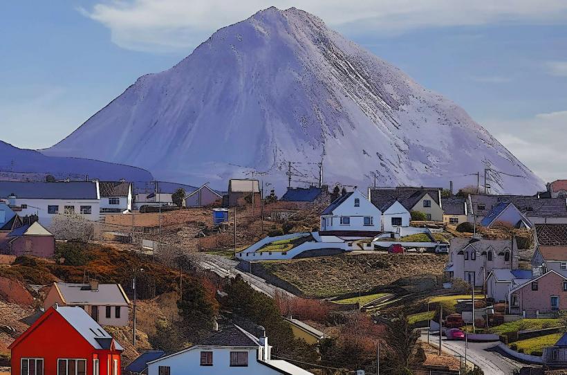
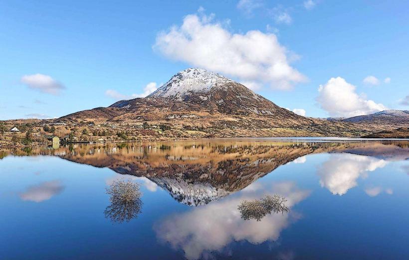
Mountains: Dominated by Slieve Snaght ($615$m), the peninsula's highest peak.
Location & Access Logistics
Boundaries: Bordered by the Atlantic Ocean to the north and the Northern Ireland border (County Londonderry) to the southeast.
Transit: The R238 and R244 roads form the primary circuit of the peninsula. Public transport is limited; the "Local Link" bus service connects major towns like Buncrana, Moville, and Carndonagh.
Parking: Ample parking at major tourist nodes (Malin Head, Fort Dunree, Grianán of Aileach).
Accessibility: Viewpoints such as Grianán of Aileach and Malin Head have paved paths, but coastal trails and the Mamore Gap descent are rugged and require high mobility.
Historical Origin
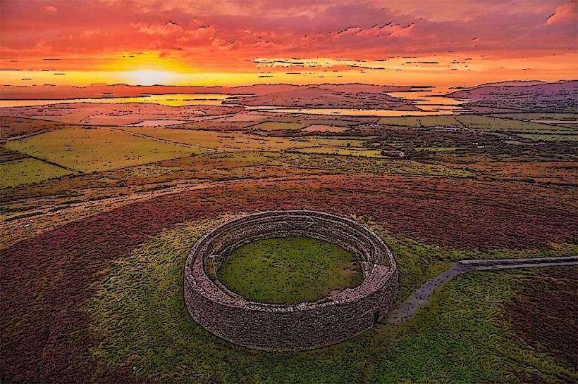
Ancient Sites: Home to Grianán of Aileach, a 6th-century stone ringfort that served as the seat of the Kingdom of Aileach.
Christian Heritage: Site of the Donagh Cross in Carndonagh, one of the most important 7th-century low-relief crosses in Ireland.
Military History: Fort Dunree, a coastal defense fortification established in 1798 and expanded during WWI and WWII to protect the deep-water harbor of Lough Swilly.
Key Highlights & Activities
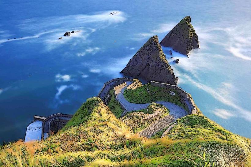
Malin Head: Famous for its dramatic sea stacks and the "Hell’s Hole" chasm. It is a primary location for observing the Northern Lights (Aurora Borealis) in Ireland.
Wild Alpaca Way: A trekking experience near Malin Head utilizing alpacas to traverse the coastal hills.
Doagh Famine Village: An outdoor museum in Doagh that provides an immersive history of Irish life from the 1840s to the present.
Golf: Home to the Ballyliffin Golf Club, featuring two world-class links courses.
Infrastructure & Amenities
Commercial Hubs: Buncrana is the largest town, offering full retail, banking, and medical services. Carndonagh serves as the central market town.
Connectivity: 5G/4G is reliable in towns; however, the mountainous interior and northern extremities (Malin Head) have frequent dead zones.
Ferries: Seasonal car ferries operate between Buncrana and Rathmullan (across Lough Swilly) and between Greencastle and Magilligan (across Lough Foyle).
Best Time to Visit
Hours: Natural sites are accessible 24/7. Museums and visitor centers typically operate 10:00–17:00.
Seasonality: June to August for coastal activities. September to March for Aurora Borealis sightings at Malin Head.
Weather: High exposure to North Atlantic winds. Rapid weather shifts are standard; thermal layers and windproof gear are essential.
Facts & Legends
A verified technical detail: Malin Head is a critical meteorological station for Met Éireann, providing essential data for North Atlantic shipping forecasts. In popular culture, Malin Head served as a filming location for Star Wars: The Last Jedi. Local legend claims the peninsula was named after Eoghan, son of Niall of the Nine Hostages (Inis Eoghain – Island of Eoghan).
Nearby Landmarks
Grianán of Aileach – Southern entry point
Londonderry/Derry City – 10km Southeast
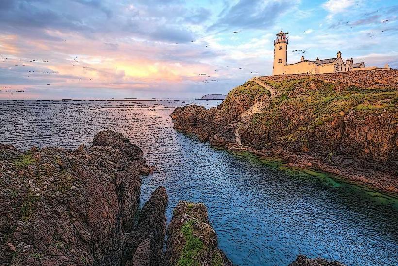
Fanad Head Lighthouse – Visible across Lough Swilly to the West
Wild Atlantic Way Start/End Point – Located at Malin Head