Information
Landmark: Wild Atlantic WayCity: Donegal
Country: Ireland
Continent: Europe
Wild Atlantic Way, Donegal, Ireland, Europe
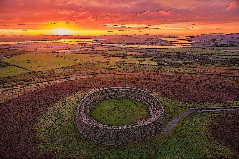
The Wild Atlantic Way is a 2,500km coastal touring route along Ireland's western seaboard. The Donegal section constitutes the northernmost segment, extending from the Inishowen Peninsula to Bundoran.
Visual Characteristics
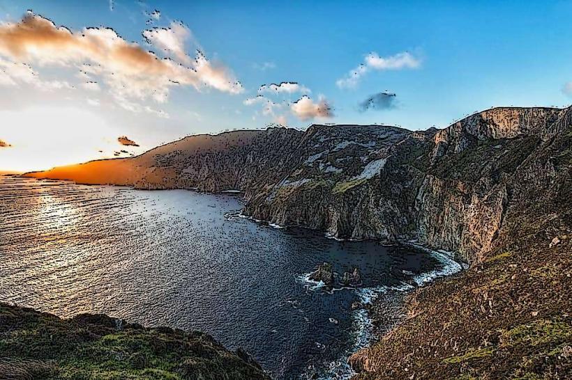
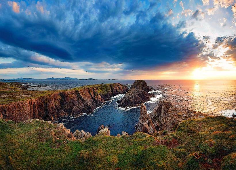
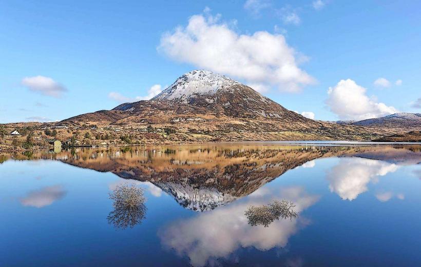
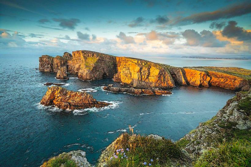
The Donegal stretch is defined by the highest sea cliffs in Europe, deep glacial fjords, and over 1,000km of coastline.
Topography: High-energy Atlantic coast with sheer quartzite cliffs and expansive machair (coastal shell-sand grassland).
Infrastructure: Narrow, winding secondary roads (R-series) marked by the distinctive blue "zigzag" wave logo.
Color Palette: Dominated by deep Atlantic blues, grey granite/quartzite, and vibrant green bogland.
Route Logistics
Distance: Approximately 500km within County Donegal.
Direction: Typically traveled North to South (Malin Head to Bundoran) to keep the vehicle on the ocean side of the road.
Transit: Private vehicle, motorcycle, or bicycle is required. Large motorhomes may face restrictions on narrow segments like the Mamore Gap.
Signage: Identified by brown directional signs featuring the Wild Atlantic Way wave symbol.
Key Discovery Points
The Donegal section contains several "Signature Discovery Points":
Malin Head: The northernmost point; site of WWII coastal watch markers.
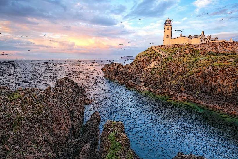
Fanad Head Lighthouse: A 19th-century functioning lighthouse overlooking Lough Swilly.
Sliabh Liag (Slieve League): Sea cliffs reaching 601m.
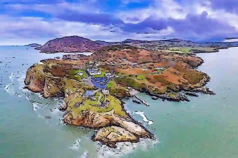
Malin Beg (Silver Strand): A horseshoe-shaped beach accessible via a steep stone staircase.
Historical & Cultural Context
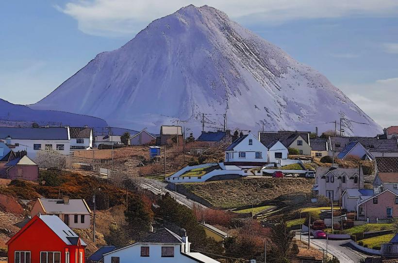
Gaeltacht Regions: The route passes through extensive Irish-speaking districts (Gweedore, Rosses, Glencolmcille), preserving native linguistic and musical traditions.
Maritime Heritage: Includes Killybegs, Ireland's largest fishing port, and numerous Napoleonic-era signal towers.
Geology: Traverses some of the oldest rocks in Ireland, including 600-million-year-old Dalradian Supergroup strata.
Infrastructure & Amenities
Connectivity: 4G/5G is consistent in towns (Letterkenny, Donegal Town) but frequently drops to zero in "shadow zones" near high cliffs or mountains.
Fuel/Charging: Petrol stations are frequent in the south but sparse on the northern peninsulas. EV charging infrastructure is clustered in major towns.
Sanitation: Public restrooms are located at Blue Flag beaches and major discovery points.
Strategic Recommendations
Navigation: Do not rely solely on GPS; use physical maps or offline downloads, as satellite signals can be interrupted by mountainous terrain.
Driving: Exercise caution on "single-track roads with passing places" common in the Rosses and Inishowen.
Photography: The "Atlantic Drive" on the Rosguill Peninsula provides 360-degree coastal views with minimal hiking required.
Nearby Hubs
Letterkenny – Primary commercial center (Inland).
Derry/Londonderry – Gateway city to the Inishowen segment.
Sligo – Southern gateway leading toward the Yeat's Country segment.