Information
Landmark: Grianan of AileachCity: Donegal
Country: Ireland
Continent: Europe
Grianan of Aileach, Donegal, Ireland, Europe
Grianán of Aileach is a prehistoric stone ringfort situated on the summit of Greenan Mountain ($244$m) on the Inishowen Peninsula. It served as the royal seat of the Northern Uí Néill, the Kings of Aileach, from the 5th to the 12th century.
Visual Characteristics
The monument is a massive circular stone cashel (fort) constructed without mortar.
Dimensions: The wall is approximately $4.5$ meters thick and $5$ meters high, enclosing an inner diameter of roughly $23$ meters.
Internal Structure: The interior features three tiered stone platforms (terraces) accessible by recessed stone stairs, allowing defenders to reach the ramparts.
Masonry: The dry-stone walls are meticulously fitted. Although heavily restored in the 1870s, the restoration followed the original structural footprint.
Location & Access Logistics
Address: Carrowreagh, Burt, Co. Donegal.
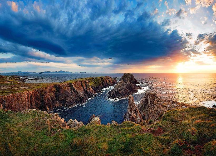
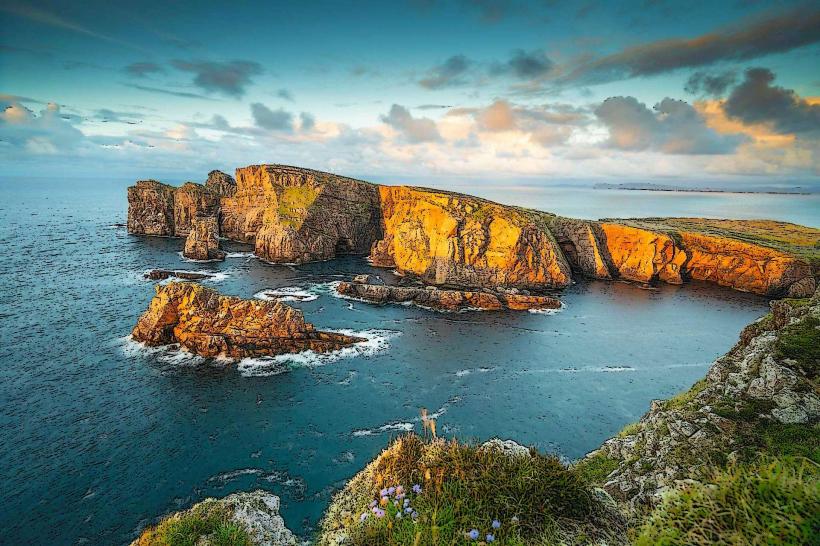
Position: Overlooking Lough Swilly to the west and Lough Foyle to the east, near the border of County Londonderry.
Transit: Accessible via a steep, narrow mountain road off the N13 (Derry to Letterkenny road). Public transport does not serve the summit; private vehicle or taxi is required.
Parking: A small, free public car park is located approximately $100$ meters from the fort entrance.
Accessibility: The path from the car park to the fort is paved but steep. The interior of the fort is grass and uneven stone. The upper terraces are only accessible via narrow, steep stone steps.
Historical Origin
Ancient Foundations: The site shows evidence of a Bronze Age or Iron Age hillfort. Legend associates it with the Tuatha Dé Danann and the Dagda.
The Kingdom of Aileach: From approximately $450$ to $1167$ AD, it was the administrative and symbolic center of the O'Neill dynasty.
Destruction (1101 AD): Murtagh O’Brien, King of Munster, dismantled the fort in retaliation for O'Neill raids. He reportedly ordered his soldiers to each carry away a stone from the fort to ensure it could not be rebuilt.
Restoration (1874–1878): Dr. Walter Bernard of Derry directed the reconstruction to preserve the site from total collapse.
Key Highlights & Activities
360-Degree Panorama: Offers one of the most extensive views in Ulster, covering six counties on a clear day (Donegal, Derry, Tyrone, Antrim, Fermanagh, and Sligo).
Architectural Features: The entrance is a single lintelled passage. Within the thickness of the walls, there are two small galleries (passageways) which are generally closed to the public for preservation.
St. Patrick’s Well: Located down the slope from the fort; a site of local pilgrimage linked to the Christianization of the Uí Néill.
Infrastructure & Amenities
Facilities: There are no restrooms, visitor centers, or retail outlets at the summit. The site is an open-access National Monument.
Sanitation: Nearest facilities are in the village of Burt or at the nearby "An Grianan Hotel" at the base of the hill.
Connectivity: Strong 4G/5G signals due to the high elevation and proximity to Derry city.
Best Time to Visit
Hours: Accessible 24/7.
Photography: Sunset is highly recommended; the elevated position provides an unobstructed view of the sun dipping into Lough Swilly, illuminating the stone walls.
Weather: The summit is extremely exposed to high winds and Atlantic mists. Windproof clothing is essential even in summer.
Facts & Legends
A verified technical detail: The fort is aligned with the equinoxes; during the Spring and Autumn equinox, the rising sun aligns with the entrance of the fort. In Irish mythology, Grianán translates to "Sun-palace" or "Sunny place," reinforcing its potential role as a site for solar observation or worship.
Nearby Landmarks
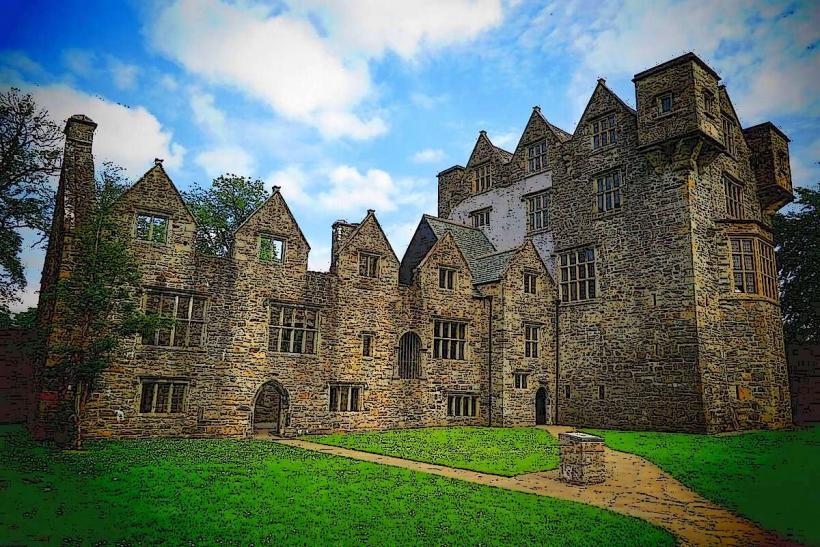
Burt Castle Ruins – 2km West
Londonderry/Derry City – 8km East
Wild Ireland (Wildlife Park) – 10km Northwest
Inishowen Peninsula (Start) – 0km (Site is the gateway)