Information
Landmark: Motu FaraCity: Rangiroa
Country: French Polynesia
Continent: Australia
Motu Fara, Rangiroa, French Polynesia, Australia
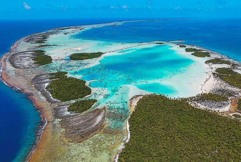
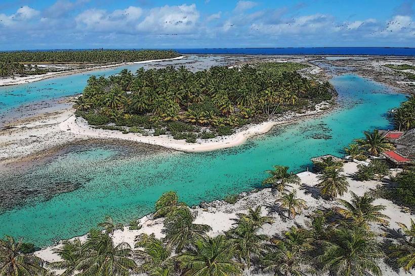
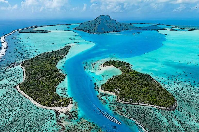
Motu Fara is a small islet situated within the Rangiroa atoll in French Polynesia.
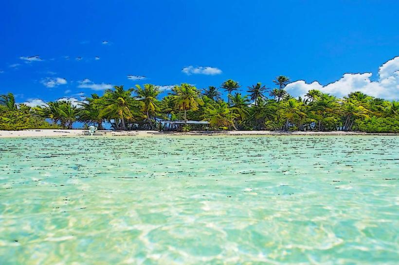
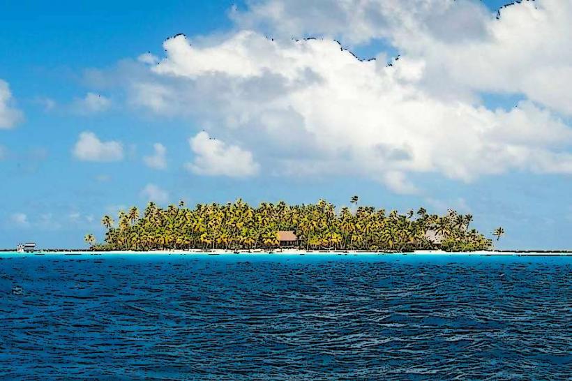
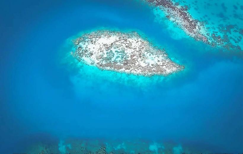
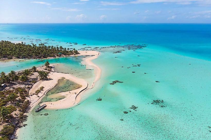
It is a coral cay characterized by its low elevation and sandy composition.
Visual Characteristics
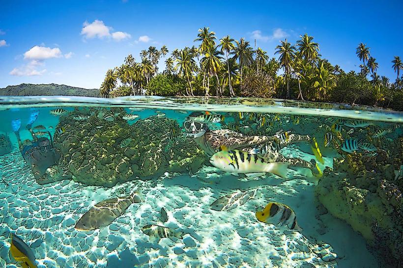
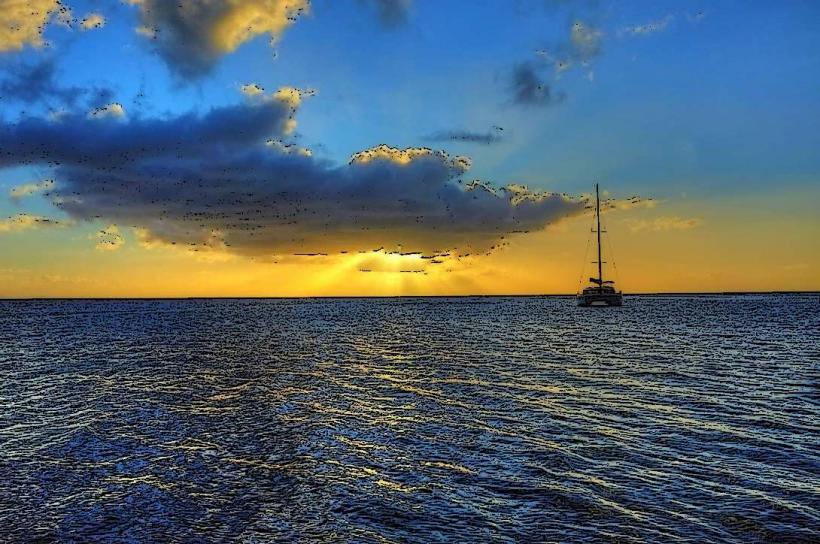
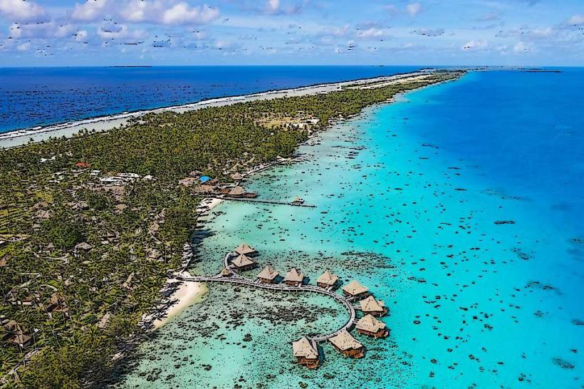
Motu Fara consists primarily of coral sand and sparse vegetation, predominantly coconut palms. The islet's elevation is minimal, rarely exceeding 2 meters above sea level. The surrounding lagoon water exhibits a clear, turquoise hue.
Location & Access Logistics
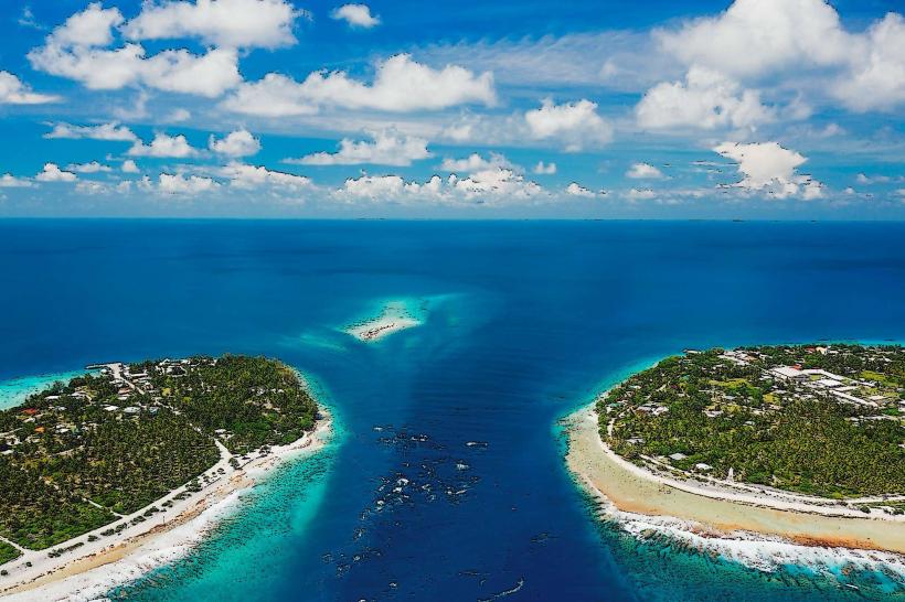
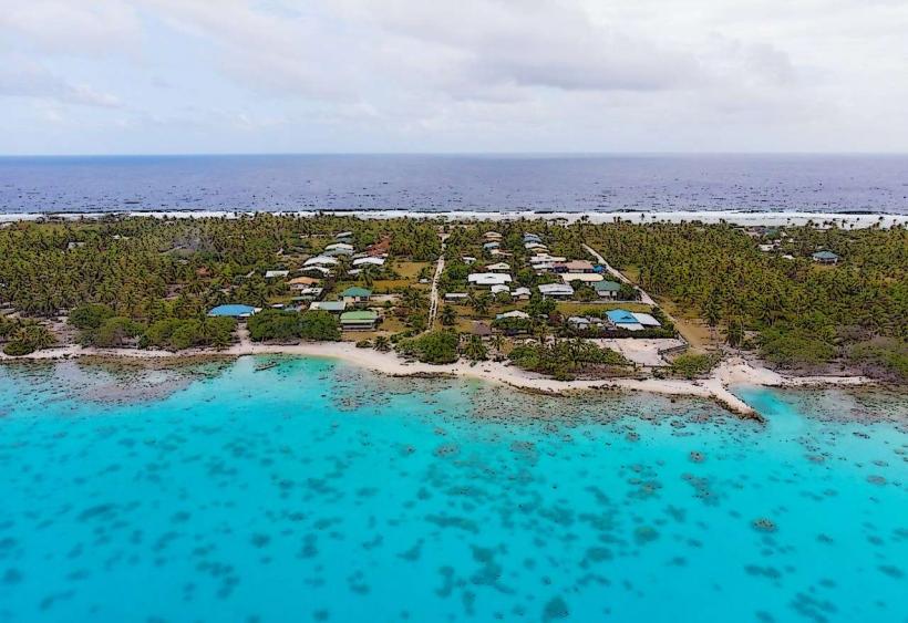
Motu Fara is located on the western side of the Rangiroa atoll, approximately 15 kilometers from the main village of Tiputa. Access is exclusively by boat. Private boat charters or organized tour operators departing from Tiputa are the primary means of reaching the islet. There is no public transport to Motu Fara. No dedicated parking facilities exist on the islet itself; boats anchor in the adjacent lagoon.
Historical & Ecological Origin
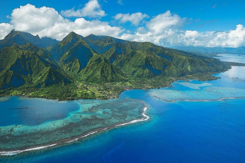
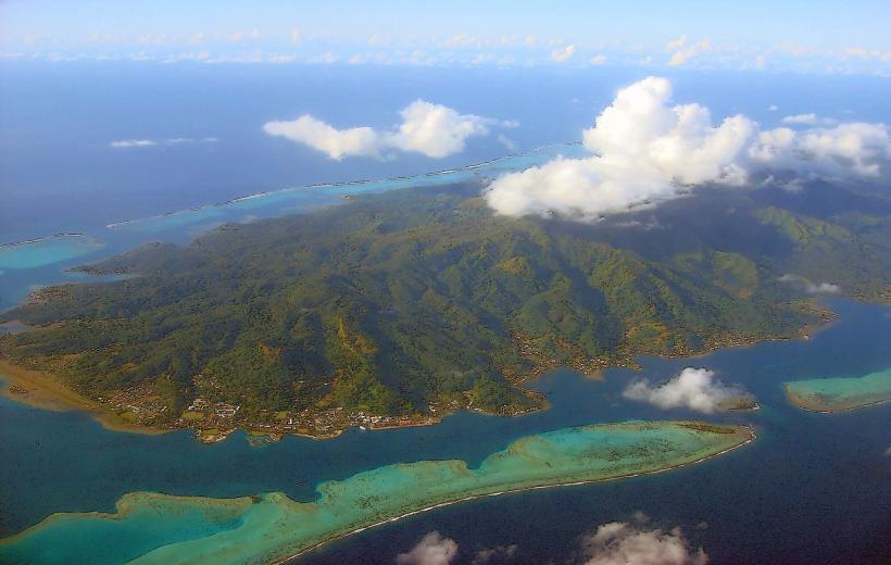
As a coral cay, Motu Fara formed from the accumulation of coral fragments and sand over geological time within the Rangiroa atoll, which is itself a large, ancient coral reef system. Its ecological origin is tied to the formation and erosion of the coral reef structure.
Key Highlights & Activities
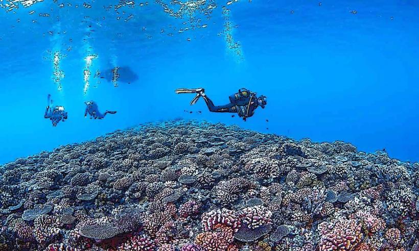
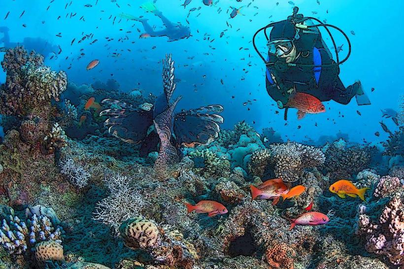
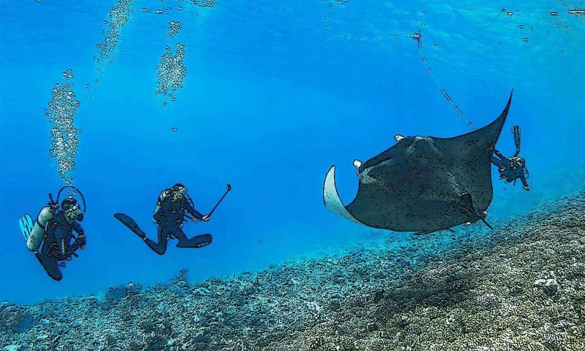
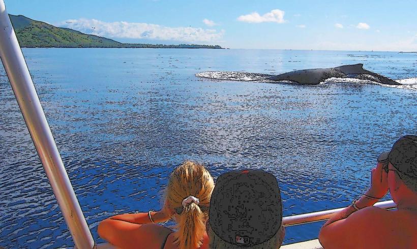
Activities on Motu Fara are limited to passive observation and relaxation. Snorkeling is possible in the shallow lagoon waters surrounding the islet, particularly during calm conditions. Beachcombing for shells is also an option.
Infrastructure & Amenities
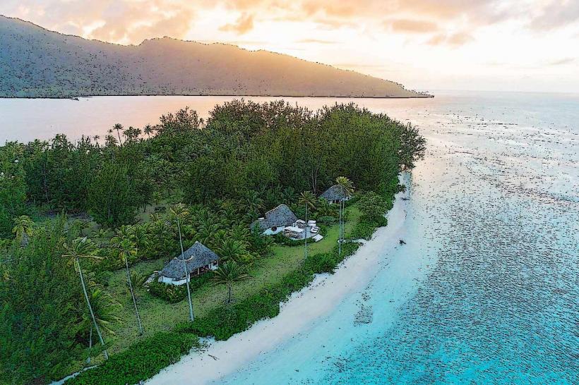
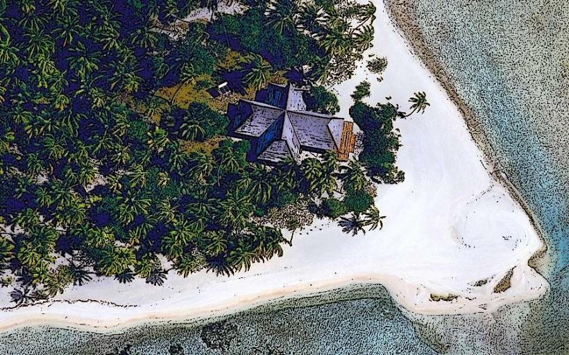
Motu Fara has no permanent infrastructure or amenities. There are no restrooms, no designated shade structures, and no food vendors. Cell phone signal is generally unreliable due to the islet's remote location and lack of infrastructure.
Best Time to Visit
The best time for visiting Motu Fara is during the dry season, from May to October, when rainfall is minimal. Mid-morning offers good lighting for photography of the lagoon. Access is dependent on calm lagoon conditions, which are more common during daylight hours.
Facts & Legends
Local lore suggests that the islet was historically used as a temporary fishing camp by inhabitants of the larger islands within the atoll. Its small size and lack of fresh water make it unsuitable for permanent settlement.
Nearby Landmarks
- Tiputa Pass (5km Northeast)
- Avatoru village (7km West)
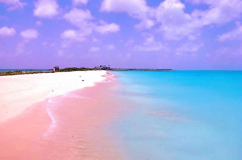
- Les Sables Roses (Pink Sands) (12km Southeast)
- Rangiroa Airport (10km West)