Information
Landmark: Rangiroa ReefCity: Rangiroa
Country: French Polynesia
Continent: Australia
Rangiroa Reef, Rangiroa, French Polynesia, Australia
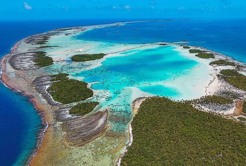
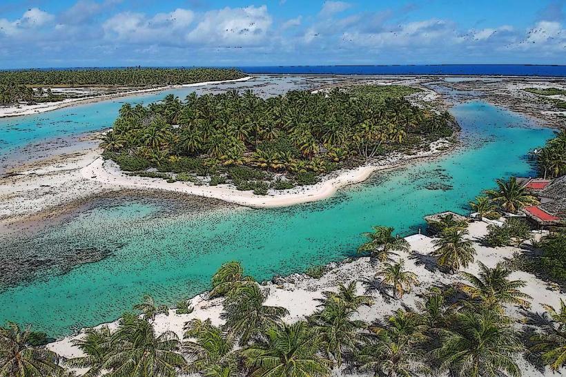
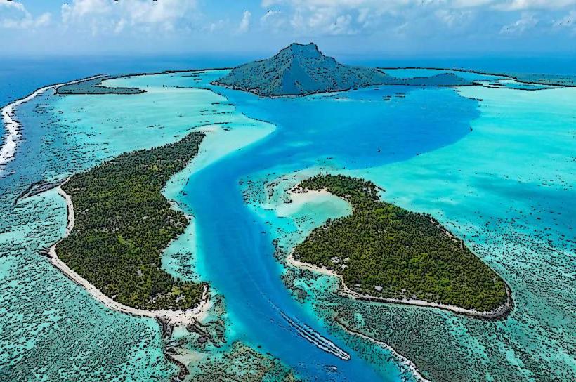
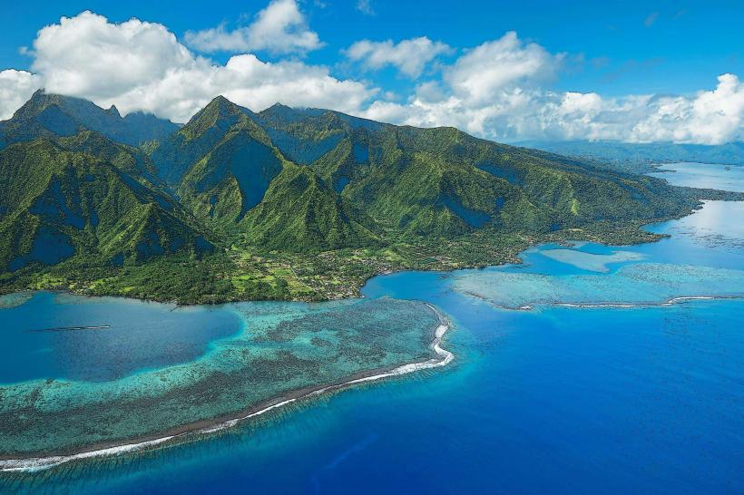
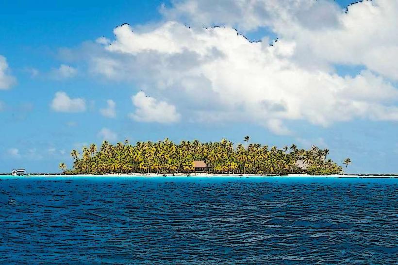
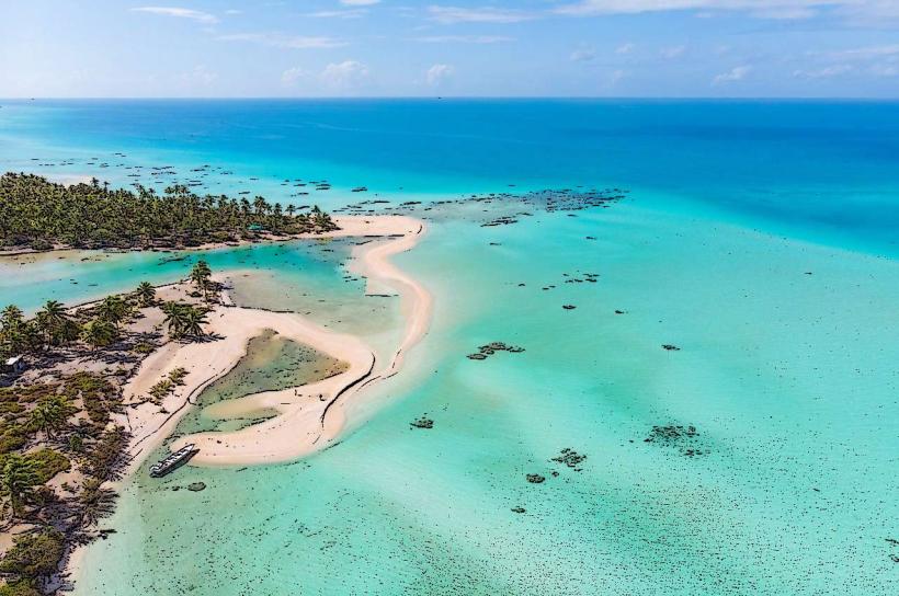
Rangiroa Reef is a large coral atoll located in the Tuamotu Archipelago of French Polynesia. It is the second-largest atoll in the world.
Visual Characteristics
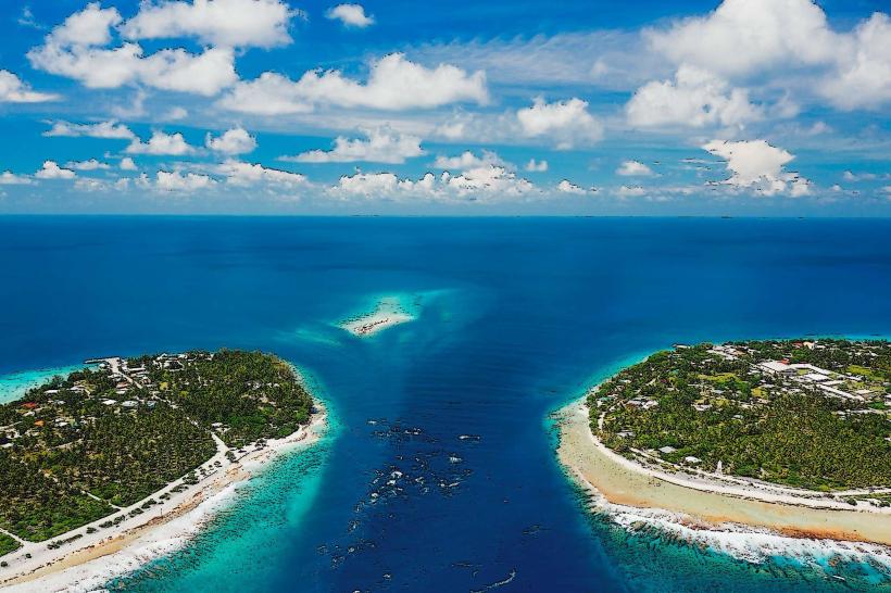
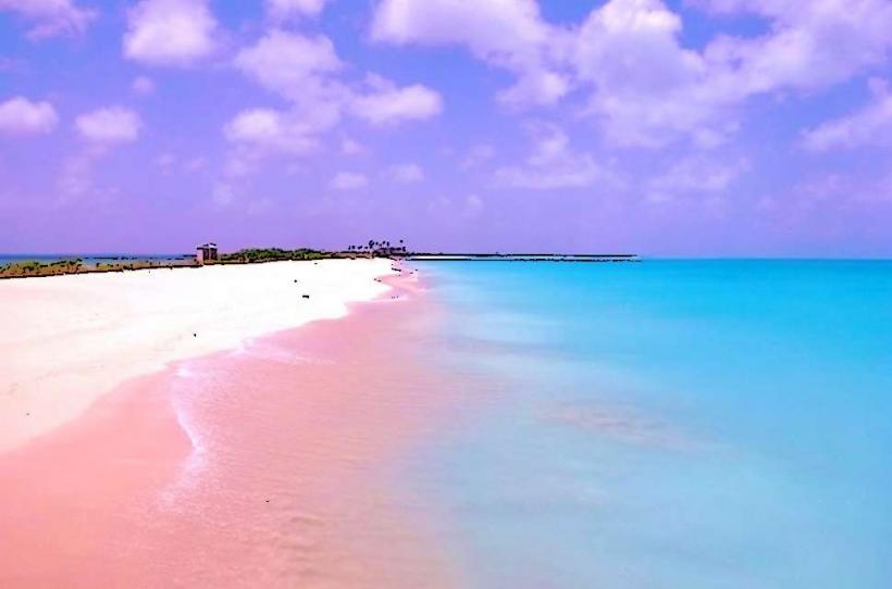
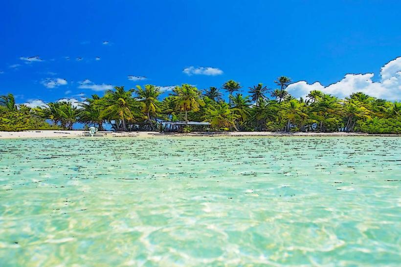
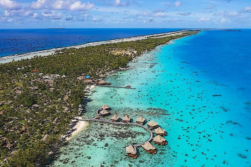
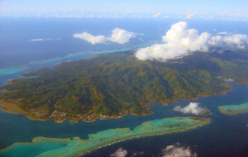
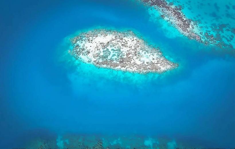
The atoll forms a ring of coral islands and islets surrounding a central lagoon. The lagoon water exhibits varying shades of blue and turquoise, influenced by depth and sunlight. The land portions consist of coral sand and limestone, supporting sparse vegetation including coconut palms and low-lying shrubs. The reef structure itself is submerged in most areas, with exposed sections visible at low tide.
Location & Access Logistics
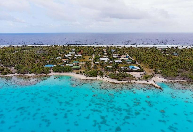
Rangiroa is situated approximately 350 kilometers east of Tahiti. Access is primarily via Rangiroa Airport (RGI), which receives flights from Papeete, Tahiti. From the airport, transportation to accommodations typically involves pre-arranged hotel shuttles or taxis. The atoll has a single main road, with limited public transport; car or scooter rental is common for independent exploration. Boat transfers are necessary to access specific dive sites or motus (small islets) within the lagoon.
Historical & Ecological Origin
Rangiroa is a coral atoll, formed by the accumulation of coral polyps on the rim of a submerged volcanic mountain. Over geological time, the volcanic structure subsided, and the coral reef continued to grow upwards, eventually forming the ring-shaped atoll. The atoll's current form is a result of ongoing reef accretion and erosion processes.
Key Highlights & Activities
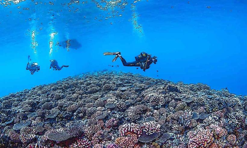
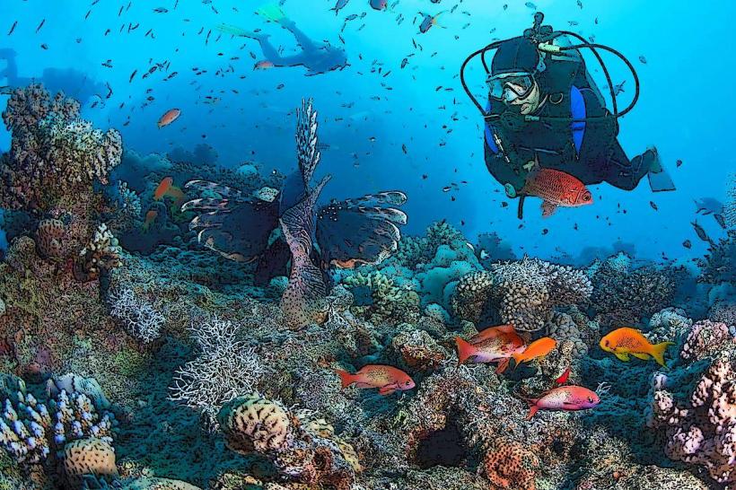
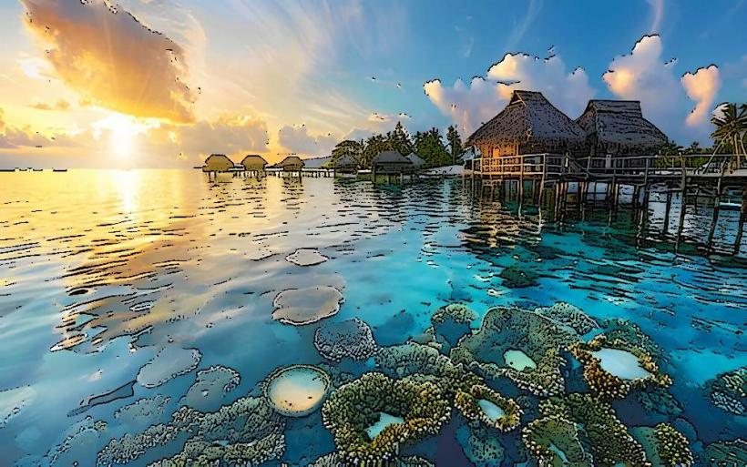
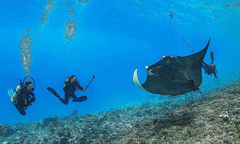
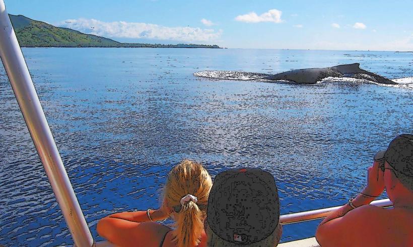
Activities are centered around the lagoon. Snorkeling and Scuba Diving are primary pursuits, with notable sites including the Tiputa Pass and the Aquarium. Boat excursions to explore the lagoon's interior and outer reef are available. Visitors can observe marine life, including dolphins, sharks, and various reef fish. Birdwatching is also possible on the motus.
Infrastructure & Amenities
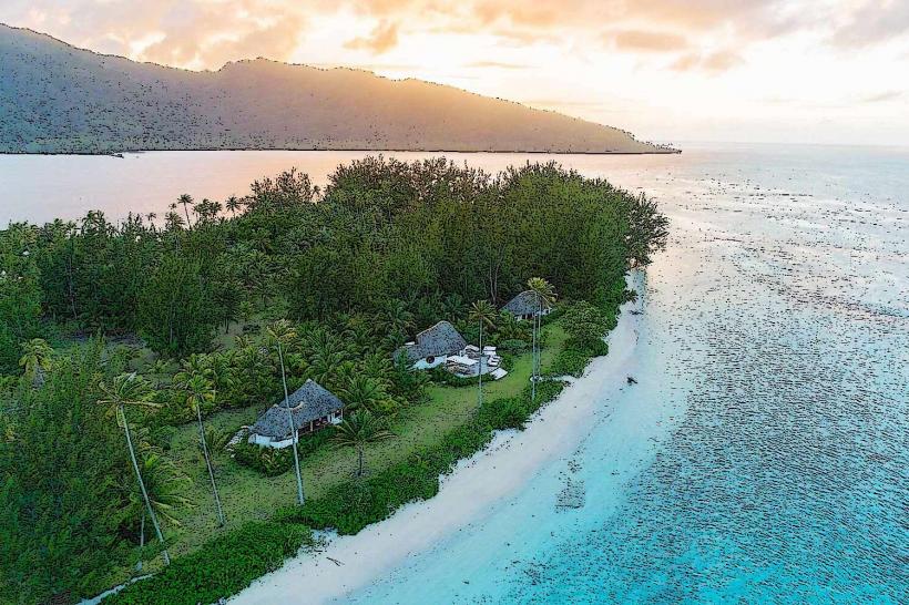
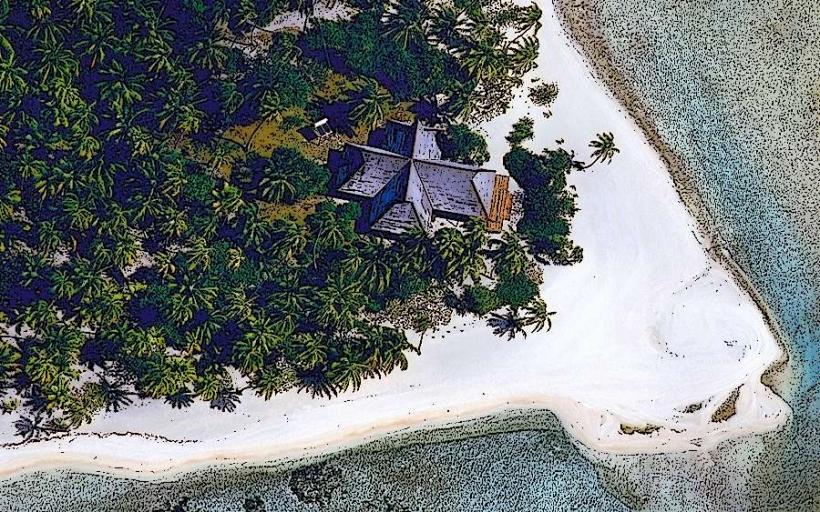
Accommodations range from resorts to guesthouses. Restrooms are available at most tourist facilities and dive centers. Shade is provided by natural vegetation and constructed shelters at popular visitor spots. Cell phone signal (4G) is generally available in the main village and resort areas, but can be intermittent on more remote motus. Food vendors and restaurants are located in the main village and at resorts.
Best Time to Visit
The dry season, from May to October, offers the most favorable weather conditions with lower humidity and less rainfall. For diving, the currents in the passes are strongest during the outgoing tide, which is preferred by some divers for drift dives. The best time of day for underwater photography is generally between 10:00 AM and 2:00 PM when sunlight penetration is optimal.
Facts & Legends
The Tiputa Pass is known for its strong currents, which can be challenging for inexperienced swimmers but are essential for the rich marine life that congregates there. Local lore speaks of ancient navigators using the stars and the patterns of the waves to chart courses across the vast Pacific, with Rangiroa serving as a significant waypoint.
Nearby Landmarks
- Tikehau Atoll (15km Northwest)
- Arutua Atoll (40km Southeast)
- Nihiru Atoll (65km East)
- Apataki Atoll (15km Southwest)