Information
Landmark: Motu TetaCity: Rangiroa
Country: French Polynesia
Continent: Australia
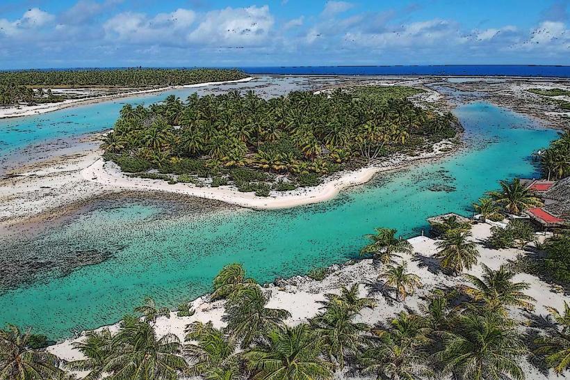
Motu Teta, Rangiroa, French Polynesia, Australia
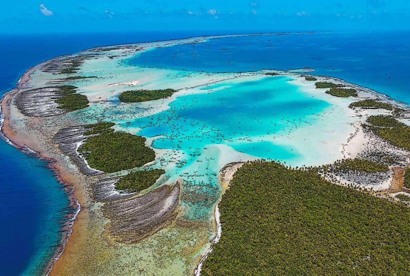
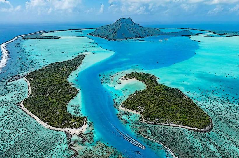
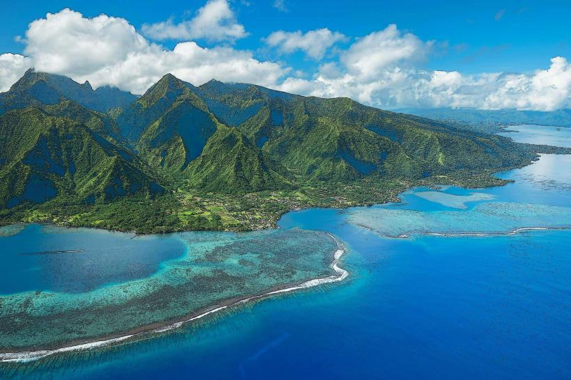
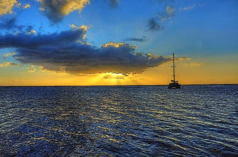
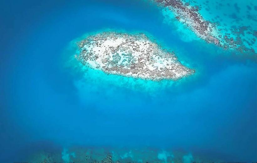
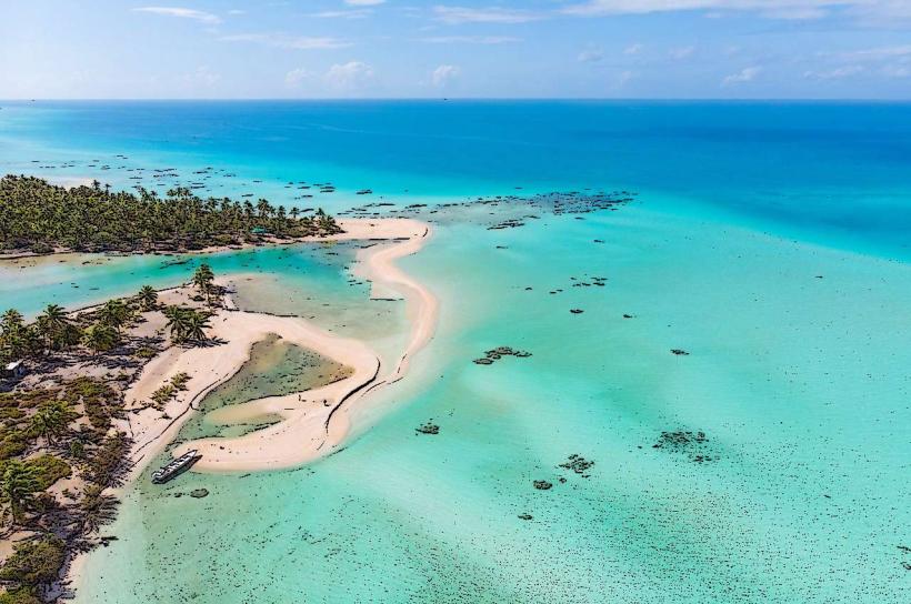
Motu Teta is a small island located within the Rangiroa atoll in French Polynesia.
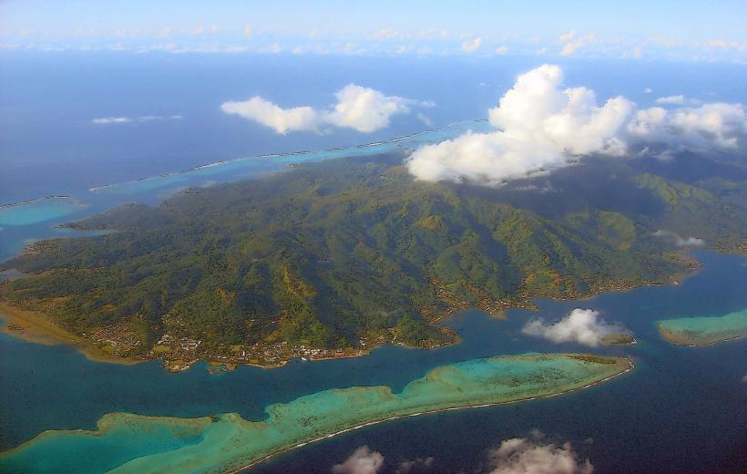
It is a coral islet situated on the northern reef of the atoll.
Visual Characteristics
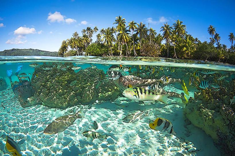
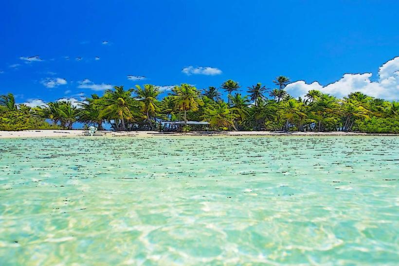
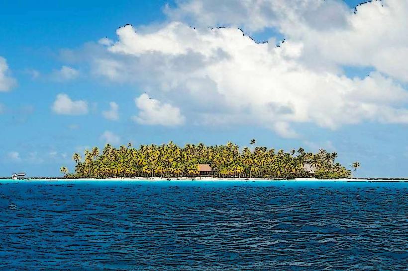
Motu Teta consists of a narrow strip of coral sand, averaging 50 meters in width. The island is densely vegetated with coconut palms and low-lying shrubs. The surrounding lagoon water is clear, with visibility often exceeding 30 meters. The seabed is primarily composed of fine white sand and scattered coral heads.
Location & Access Logistics
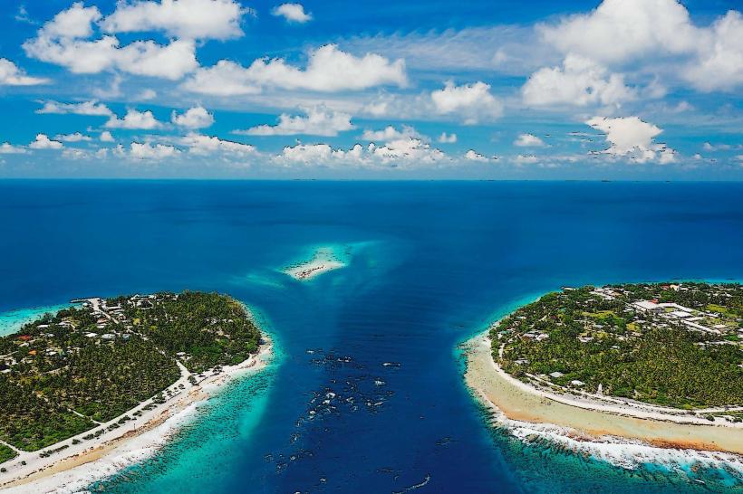
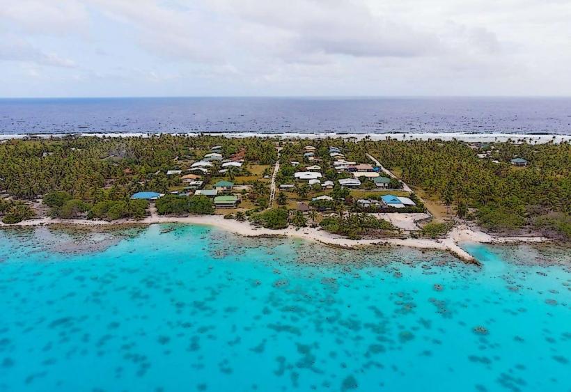
Motu Teta is accessible from the main village of Avatoru, located on the western side of Rangiroa. The distance by boat is approximately 15 kilometers, taking about 30 minutes. Access is typically via private boat charter or organized tour. There is no public transport to the motu. No dedicated parking is available; boats anchor in the lagoon.
Historical & Ecological Origin
Motu Teta is a natural coral formation, characteristic of atoll development. It formed over millennia as coral reefs grew upwards from submerged volcanic seamounts. The island's current form is a result of sediment accumulation and vegetation colonisation on the reef crest.
Key Highlights & Activities
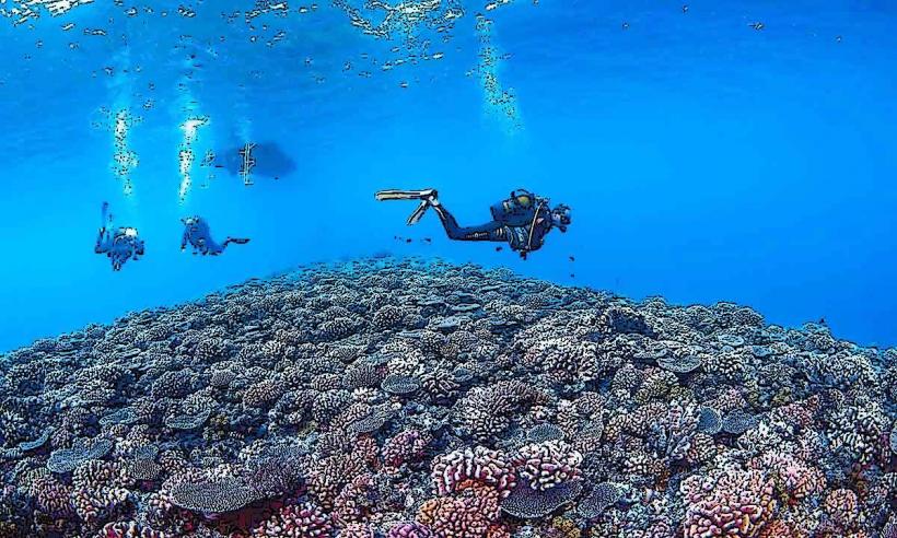
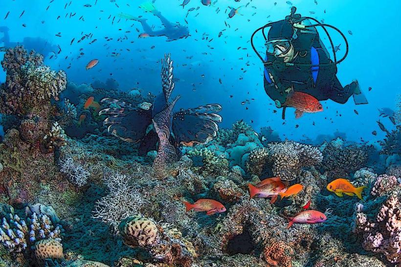
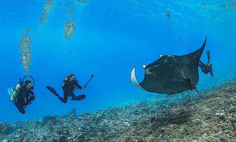
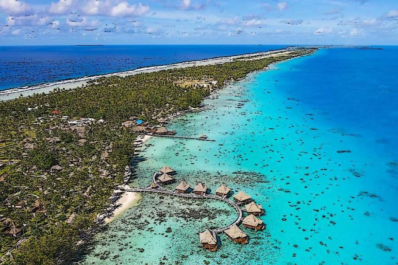
Snorkeling is possible in the shallow lagoon waters surrounding the motu. Birdwatching is a primary activity, with various seabird species present. Relaxing on the beach is also a common activity. Fishing is permitted in designated areas of the lagoon.
Infrastructure & Amenities
There are no permanent structures or amenities on Motu Teta. Restrooms are not available. Shade is limited to natural cover provided by palm trees. Cell phone signal is generally weak to non-existent. No food vendors are present on the island; visitors must bring their own provisions.
Best Time to Visit
The best time of day for photography is during the morning hours (08:00-10:00) for soft, directional light. The dry season, from May to October, offers the most favorable weather conditions with lower humidity and less rainfall. High tide is generally preferred for easier boat access and increased snorkeling depth.
Facts & Legends
Local lore suggests that the island was once a favored resting spot for ancient Polynesian navigators charting courses across the Pacific. A specific tip for visitors is to observe the subtle changes in water color as the tide recedes, revealing intricate patterns in the sand and coral.
Nearby Landmarks
- Avatoru Pass (5km West)
- Tiputa Pass (7km Southwest)
- Rangiroa Airport (10km West)
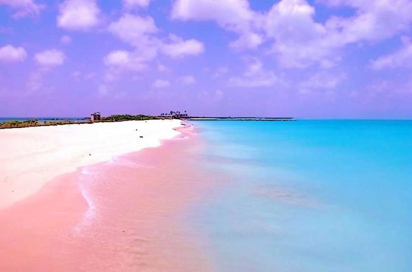
- Les Sables Roses (12km East)
- Otepipi (15km South)