Information
Landmark: Motu Nao NaoCity: Rangiroa
Country: French Polynesia
Continent: Australia
Motu Nao Nao, Rangiroa, French Polynesia, Australia
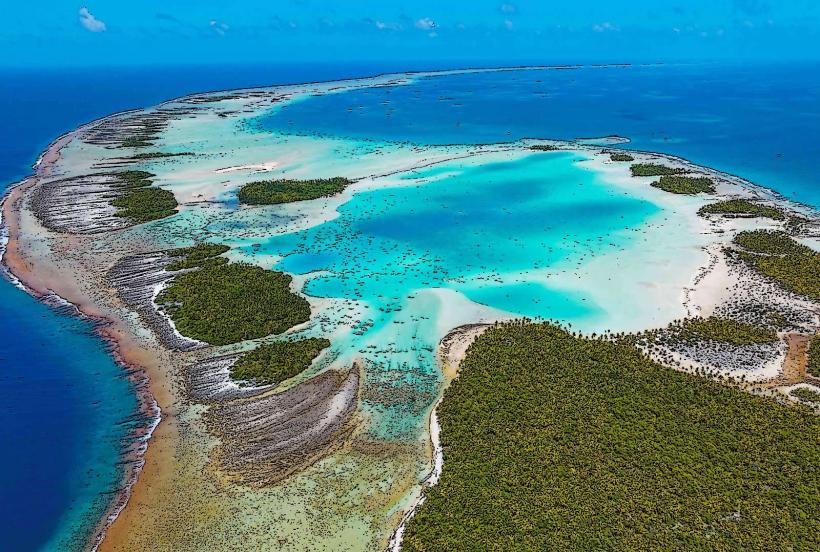
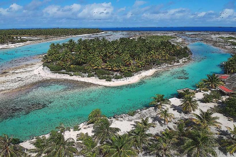
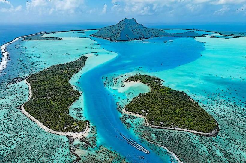
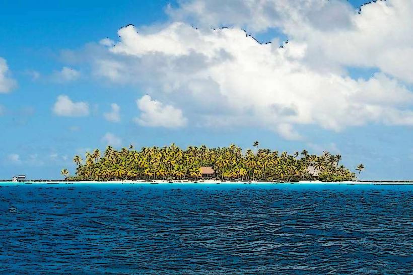
Motu Nao Nao is a small islet situated within the Rangiroa atoll in French Polynesia.
It is primarily known for its lagoon-side environment and limited accessibility.
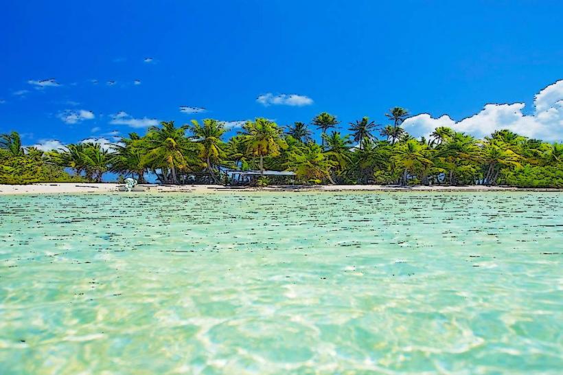
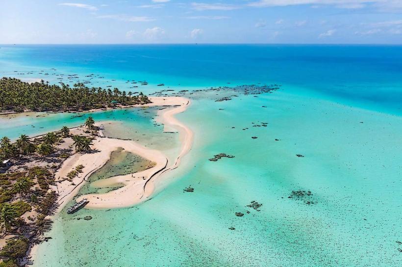
Visual Characteristics
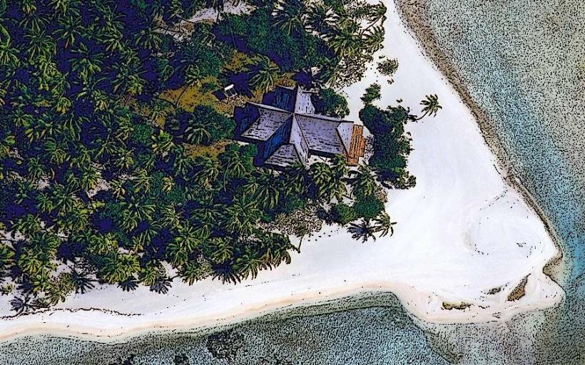
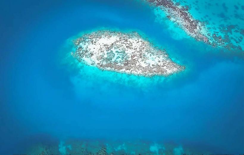
Motu Nao Nao consists of a narrow strip of coral sand fringed by coconut palms. The lagoon water adjacent to the motu is shallow and exhibits a clear turquoise hue. The motu itself is low-lying, with a maximum elevation of approximately 2 meters above sea level.
Location & Access Logistics
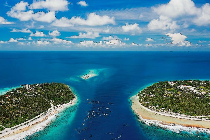
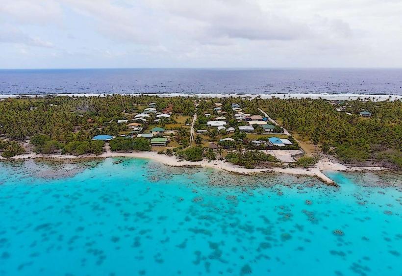
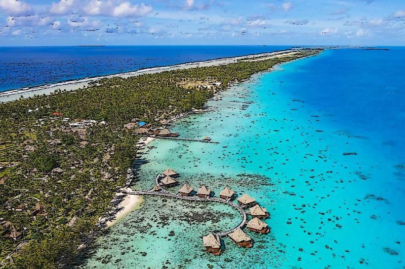
Motu Nao Nao is located on the eastern side of the Rangiroa atoll, approximately 15 kilometers from the main village of Avatoru. Access is exclusively by boat. Private boat charters or organized excursions from Avatoru or Tiputa are the primary means of reaching the motu. There is no public ferry service. No dedicated parking facilities exist on the motu; boats anchor in the shallow lagoon.
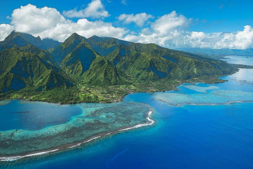
Historical & Ecological Origin
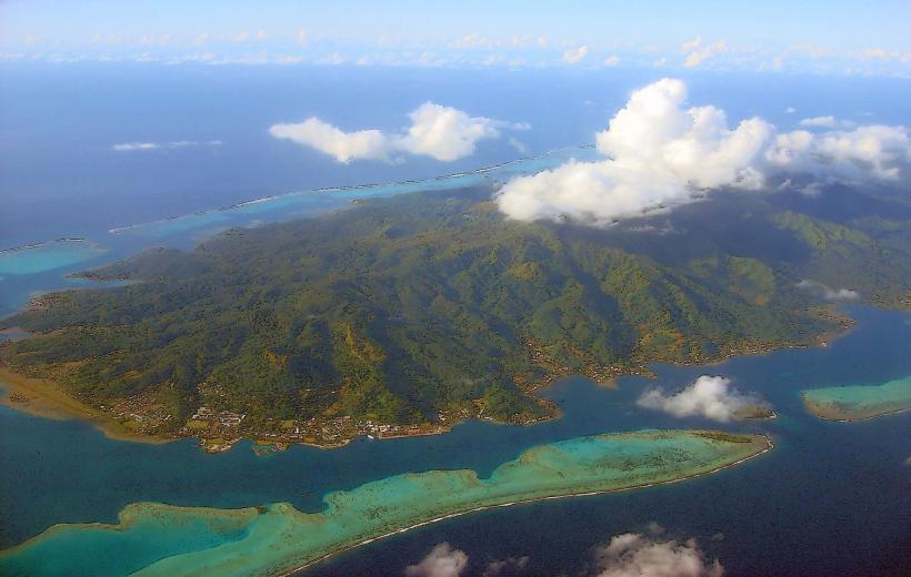
Motu Nao Nao is a natural coral sand accumulation, characteristic of atoll formation. It is part of the larger Rangiroa atoll, which is the second-largest atoll in the world. The motu's existence is a result of coral reef growth and sediment deposition over geological time.
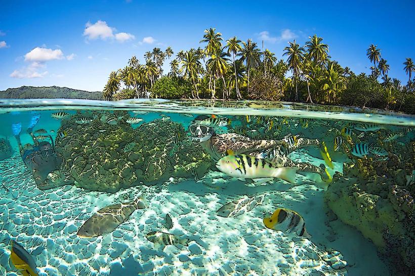
Key Highlights & Activities
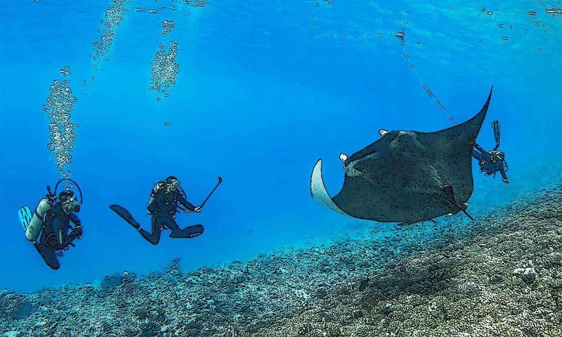
Activities are limited to passive observation of the lagoon environment. Swimming and wading in the shallow lagoon waters are possible. Photography of the lagoon and palm vegetation is a primary activity. No organized tours or facilities are present on the motu itself.
Infrastructure & Amenities
There are no permanent structures, restrooms, or shade facilities on Motu Nao Nao. Cell phone signal is generally weak to non-existent. No food vendors operate on the motu; visitors must bring their own provisions.
Best Time to Visit
The best time for visiting is during daylight hours, from approximately 9:00 AM to 4:00 PM. The lagoon water clarity is optimal during calm weather conditions, typically from May to October. High tide is preferable for easier boat access and more extensive shallow water areas for wading.
Facts & Legends
Motu Nao Nao is often used as a reference point for navigation within the eastern part of the Rangiroa Lagoon. Local lore suggests that the motu was once larger before a significant storm event centuries ago, though this is unverified.
Nearby Landmarks
- Tiputa Pass (3km Northwest)
- Avatoru Village (15km West)
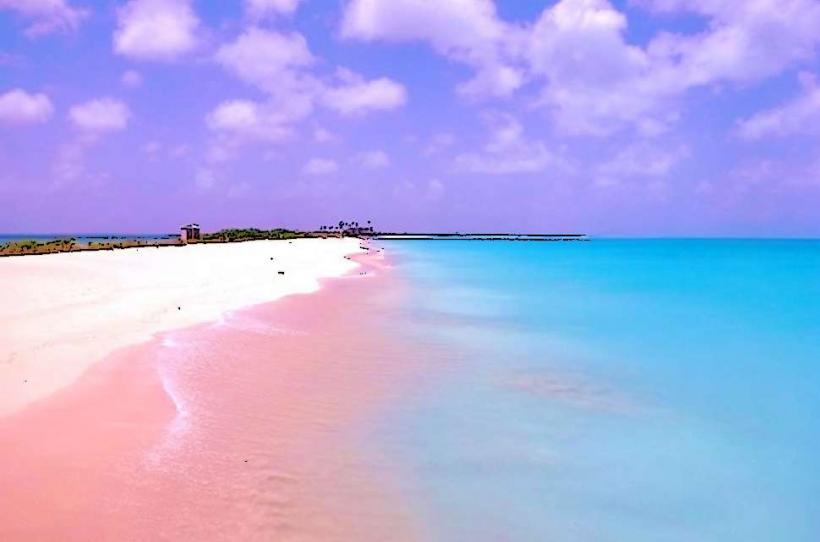
- Les Sables Roses (Pink Sands) (10km South)
- Îlot des Oiseaux (Bird Island) (12km Southwest)