Information
Landmark: Novalja HarbourCity: Pag
Country: Croatia
Continent: Europe
Novalja Harbour, Pag, Croatia, Europe
Novalja Harbour is a maritime facility and terminal located in the center of Novalja on the northwestern coast of Pag Island. It serves as a primary logistical hub for ferry traffic, private vessels, and the local fishing fleet.
Visual Characteristics
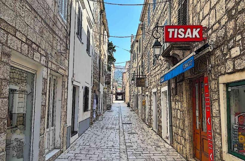
The harbor is defined by a long stone breakwater and reinforced concrete piers. The waterfront is lined with limestone-paved walkways and a series of historic and modern stone buildings. The basin depth allows for the mooring of large catamarans, while the inner piers accommodate small wooden fishing boats. The water within the harbor is typically clear, though subject to urban runoff during peak tourism months.
Location & Access Logistics
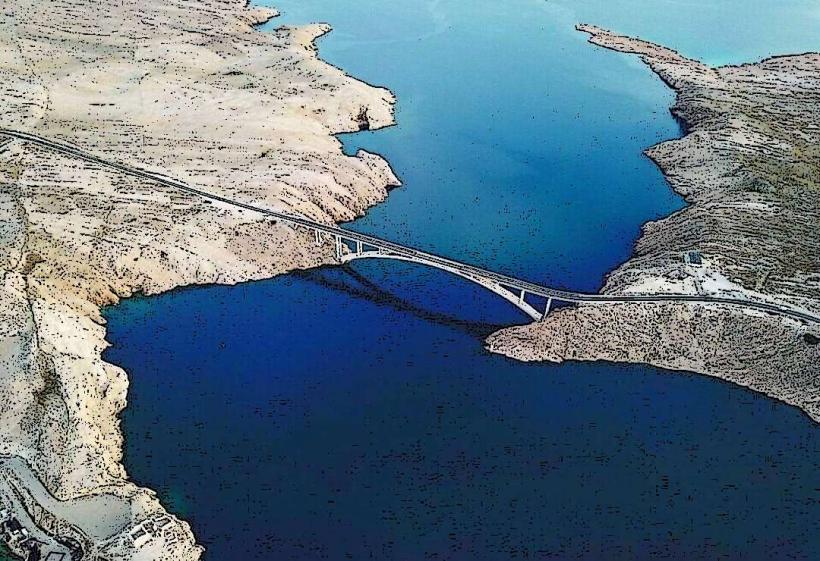
The harbor is located at the western end of the Novalja town center. It is the arrival point for the high-speed catamaran line connecting Rijeka, Rab, and Novalja. Road access is via the D106 state road; however, the immediate waterfront is a restricted traffic zone. Public parking is available in the large "Centar" lot approximately 300 meters east of the main pier. Local shuttle buses to Zrće Beach depart from the roundabout adjacent to the harbor.
Historical & Ecological Origin
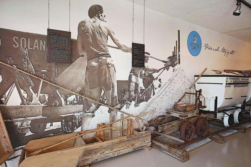
The site has functioned as a maritime port since Roman times, when the settlement was known as Cissa. The modern harbor infrastructure was developed primarily during the 19th and 20th centuries to support the island's salt and livestock trade. The seabed in the surrounding bay contains archaeological remains, including ancient amphorae, protected under Croatian cultural heritage laws.
Key Highlights & Activities
The main pier is the departure point for daily excursion boats to the islands of Rab, Silba, and Olib. The waterfront promenade, known as the Riva, is utilized for walking and access to numerous commercial establishments. Small-scale commercial fishing operations land their catch early in the morning at the northern pier. Scuba diving centers operate from the harbor, providing transport to nearby underwater archaeological sites.
Infrastructure & Amenities
The harbor features a ferry terminal office, ticket kiosks, and public restrooms. 5G and 4G cellular signals are consistently strong throughout the port area. Numerous ATMs, exchange offices, and grocery stores are located within 50 meters of the moorings. Shore power and fresh water hookups are available for transit sailors at the designated nautical berths.
Best Time to Visit
Evening hours provide optimal conditions for the Riva's social activity and sunset views over the Adriatic. For travelers, the harbor is most congested during catamaran arrivals (typically late afternoon). The summer season (June–September) sees 24-hour activity, while winter operations are significantly reduced and subject to cancellation during strong Bura or Jugo winds.
Facts & Legends
The harbor sits near the entrance to the "Talijanova buža," a 1st-century Roman underground aqueduct carved into the solid rock. Local lore suggests that the harbor's name originates from the Latin Navalia, referring to a place where ships are repaired or docked. A common local observation is that the harbor water remains exceptionally calm even during northern winds due to the protection of the surrounding Velebit channel topography.
Nearby Landmarks
Roman Aqueduct (Talijanova buža) – 0.2km East
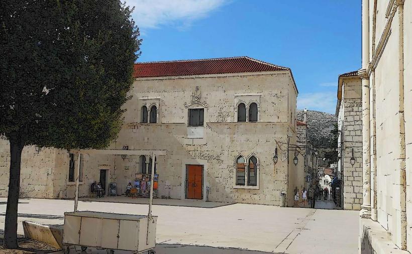
City Museum of Novalja – 0.25km East
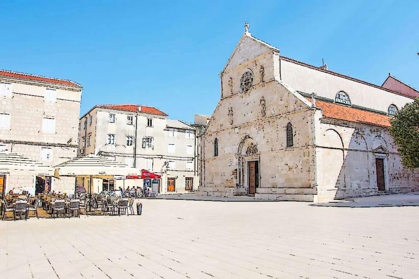
St. Catherine’s Church – 0.3km Northeast
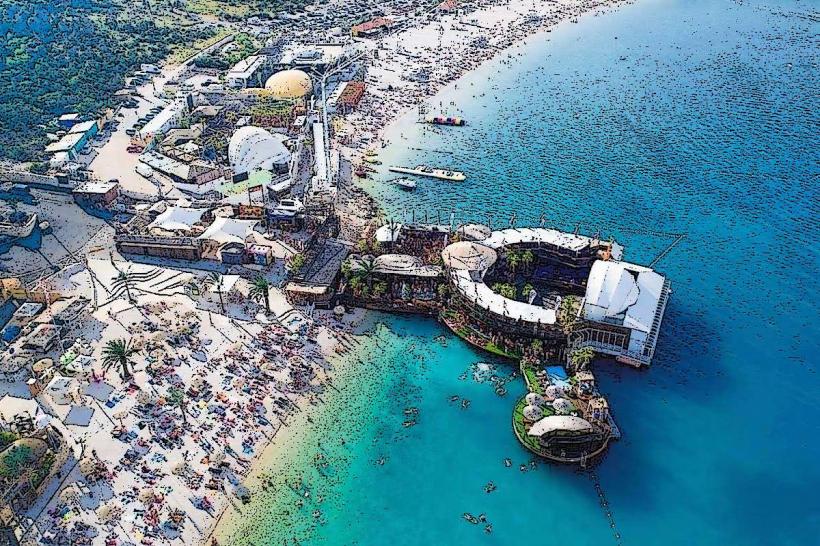
Zrće Beach – 3.0km Southeast
Planjka (Trinćel) Beach – 2.2km North